The International Peace Park is what is known as the US and Canadian Glacier parks that adjoin each other. The best part about Waterton is the Townsite Campground and how close it is to the town and to beautiful Waterton Lake which has a nice gravel beach that goes on for a mile.
There is even a paved path that follows the beach with sporadic trees for shade as the towering mountains border most of its shores. There is even Cameroon Falls that is right almost in town.
Town means there are restaurants, ice cream, stores and deer/fawns that roam around freely. And above it all is the Prince of Whales Hotel.
Wind can be a bit bothersome here and we had one such day where we were happy to be snug inside Vinny, but the Canadian parks have these nice shelters for the poor people in tents. The camping facilities seem relatively new and all is in excellent order. Paddle board rentals are the only way to paddle because all vessels including SUP must be quarantined for 60 days after inspection.
The town path borders right along Emerald Bay and ends at small wharf with about dozen small speedy boats and a tour boat and a place for Parks Canada to provide an antler show.
Prince of Whales Hotel
This Scottish Hotel dominates the landscape of Emerald Bay as it sits perched high upon a hill. An old fashion and sticky toffee pudding was the reward for hiking up that hill as there is a nice path from the small parking lot that is just over the bridge that leads into Waterton Townsite.
The best views of Waterton are from the hotel lawn. It’s for just a hike up the hill, not a 10 mile, 1500 ft elevation gain like our last hike.
The hotel was very British, well rather Scottish, as most male workers wore red plaid kilts and women had matching scarves. The hotel makes for an incredible view and we heard the food is quite good as well. We were too late for the history tour.
Bertha Falls and Lake Hike
We’ve become picky with our falls and Bertha Falls was not easy to get close. The problem with the entire Waterton Mountain area is that it is in the forest life cycle where there are straight grey dead tall thin trunks that are everywhere. I try to think of them as tinsel on a Christmas tree. Yes, the bush growth and wildflowers make the earth green to an extent, and sometimes colorful, but eye level, are the trunks with little shade for the most part except on occasion where fire missed a spot like near streams.
It was nice reaching Bertha Lake, but there also is a Camp where a large group of kids were frolicking in the water. There were several nice overlooks to Waterton Lake along the trail, but the scene was available 500 feet below from the beach with no effort or blocking tree. Although it was only 7.5 miles we walked well over 8 miles as the trailhead was a bit of a walk from campground making it quite convenient. It was a 2000 ft elevation gain, so we were rather tired after this one, but the lake was beautiful.
The long hikes of last week are catching up and we are planning, park and short paths tomorrow.
Cameron Lake
The nearby Akamina Parkway takes you to Cameroon Lake (15 miles). The issue is that most of the drive was grey trunks so not particularly scenic, but at least there’s flowers.
Cameroon Lake had a delightful walking path that was shaded and much of the trees right near the river had not burned although just off the banks were the typical dead trunks; they cover the entire mountain in the photo below.
There were opportunities to rent paddling craft on the lake. No outside vessels are allowed unless they have been inspected and then quarantined for some 60 days or so. The huge parking lot made it quite a buzzing place, but less than ¼ of the parking lot was full.
Red Rock Canyon
At the Red Rock Parkway provided a bit of relief from the dead trunk look as there were some low lying shrub areas. We saw a grizzly with two cubs in the distance. At another different wildlife jam there was a black bear with cubs too.
At the end of Red Rock Canyon Parkway there was a large tourist parking area and a fenced path that went around the narrow canyon of red rock.
The different colored layers of the rock, especially the unique burgundy color, and flowing streams were really pretty, but all around the dead tree trunks as evident by the beige colored hill.
Blakistone Falls
A short kilometer hike from the Red Rock Parking Area to a very fenced observation area of these big long falls.
The Blakistone Creek also flowed through the Red Rock Canyon and this time there were quite a show of wildflowers as well as a Ptarmigan.
Summary
Four nights in this area was a good amount. Although there were many other hikes, many trailheads were from the Red Rock Parkway which is full of dead trunks with no canopy cover so not necessarily scenic and in full sun. Walking around the lake(s) was much more beautiful in my opinion because the mountain jutted up so dramatically. Although there was no smoke smell, it would have been nice to see those gorgeous jutting mountains without the shroud of smoky haze. G-loop in the campground with electricity only was really nice as we had lake view. Need to make sure to get a good lottery number to get this popular place that has lovely grass and facilities. The lake walking path into town is all very easy, quick and flat. And I found my favorite Huckleberry beverage, oops it’s actually boysenberry.
This is my favorite part of Glacier NP because the huge mountains are so close and there are many easy to hard hikes that are available from Many Glacier Campground and the adjoining Swift Current Motor Inn. Plus, we saw our first moose here. Can’t say that this trip has been optimal – it was smoky and now the rainy week is here.
Grinnell Glacier Hike
Top Hikes of all time – during the last 2 ½ miles the views down to the valley are incredible.
Grinnell Lake, a separate hike in itself, comes into view and it is the most beautiful aqua and as you hike up.
Lake Josephine and Swift Current Lake become visible a bit further up.
Not much shade, but breathtaking the whole way up
Then there are all the wildflowers and green valleys and waterfalls.
We saw only one lone big horn sheep at the top as the day was a Saturday and the trail was very busy.
There had been smoke and the rain during the last 10 days and mountains had been more like shadows. Two days of rain and the valley had cleared the smoke and waiting at the boat dock on this Saturday morning was finally those vivid colors nature in its glory.
Everyone was on the trail. Most of that beautiful part of the trail was full sun, but there were some nice breezes and the temperature was high 60s low 70s so not too bad.
The glacier is disappearing and emptying into Upper Grinnell Lake along with numerous waterfalls. Near the last half mile every turn you made there was another explosion of beauty.
There are several ways to get to the trail. The shortest, and of course what we choose, due to my organization, was to catch a boat at Many Glacier Lodge, cutting off two miles, all be it flat and shady for this part of the hike. It was so incredibly serene we almost didn’t want to leave for the hike.
Boat Tours book up super early like there was only one 11am spot available over 6 month ago. This 11am departure just allowed us enough time to get back for 5:45pm boat back. Strategy would be to book several days and cancel 72 hour prior after looking at the weather. It seems quite a few people got on the boat as standby as well. We were quite pooped after the 8 mile hike 2000 ft elevation gain and opted not to walk the two miles back to the Lodge, but wait for the second boat to return. We are slower than most people, but most are probably half our age, so we feel rather accomplished. The bonus was that between the two lakes while hiking the ⅓ mile we saw a mama moose and her baby. The other perk is that Ptarmigan Dining room at the Lodge is quite nice too, although usually 30 to 40 minute wait, just enough time to dump off our hiking gear and swab off a bit for dinner. This big open dinig room has such nice lighting and although it has high ceilings, it does not have the usual echoing din that so many restaurants these days have.
Food was very good for Xanterra, especially the huckleberry cheese cake torte.
Grinnell Lake Hike
This was a hike in the rain. But then it cleared up eventually. I had not been so organized and did not get this boat tour cancelled in time, so we decided to do it even though the forecast was for sporadic rain all day. From the Many Glacier Lodge you boarded the boat to cross Swift Current Lake and then hiked about ⅓ mile to Lake Josephine where you boarded another boat to get across this lake. Shortly after this point the trail splits to hike another mile to Grinnell lake or pick up the Grinnell Glacier Trail.
About ½ mile into this Grinnell Lake hike, the more steady rain came down all the way to the lake. Found a small place under the canopy of a tree, but after about 20 minutes it stopped and we ventured out to the lake.
The rain had tapered down on the way back to the boat dock. Already pretty wet, we had decided to take the boat and not walk the full two miles back from Josephine Lake Boat dock.
But still no rain when we got across the first lake, and it looked like there was clearing, so walked the 1 mile back – which again was easy, and canopy covered and lovely.
There are lovely shaded easy trail that circle both lakes so many hiking possibilities on these very flat trails which arrive at the Manny Glacier Lodge.
I intend on coming back and staying at the very expensive Glacier Lodge when I’m 75 and longer harder hikes are out of reach, but the Lodge Lobby is grand an many time some plays the grand piano.
Iceberg Lake Hike
The pinnacle of this hike was seeing the Bull Moose about 50 yards down in a valley. He was just laying there and breathing hard so no a threat to the hikers who stopped to admire him.
They are in the move these icebergs. One did a 90 degree flip as we watched.
Just like in Newfoundland only on a miniature scale.
Ptarmigan Falls was at the halfway point, and a good portion of the trail was through forest canopy with gradual ascents. This 10 mile hike was the day after our challenging Grinnell Glacier Hike, but only had 1500 feet of elevation over 5 miles not 2000 ft over 3.5 miles. Usually, we have a rest day in between two big hikes, but we had to make haste and this was our last day in Glacier NP. Luckily, we got a day at the Swift Current Motor Inn and then a Camp Scanner got us one more day at Many Glacier Campground, so we could do these two hikes in the first place.
Fishercap Lake
Our campsite adjoined the Amphitheater Ranger Program, so I took advantage and learned all about the beaver, a keystone species. The beaver is one of few animals that creates ecosystems – luckily fashion changed to silk and feathers before the busy beavers became extinct. In fact, they were reintroduced in some areas by dropping the monogamous pairs in wooden boxes into stream areas so they could build back their species – no problem for a beaver to chew through that wooden box and get busy. The ranger said that the ⅓ mile hike from the Swift Current parking lot to Fishercap Lake is the Moose haven and sure enough one was frolicking and feeding in the lake. We stayed watching this gigantic animal, but had to depart with the darkness. I guess this has fulfilled our wildlife bucket list. Fishercap lake is only about a third of a mile from the Many Glacier Campground and the adjoining Swift Current Motor Inn and Cabins and it could be a regular evening stroll to see if the moose is loose.
Red Rock Falls Trail
It was to be a rainy day, so we decided to stay close and see if the moose was out again. This time we searched around the lake as the trail got more overgrown and finally ended. A bit of bushwacking, following some voices, we made it to the main trail without seeing any moose. Still no rain was coming down, and Red Rock Falls was just another mile, so down the main trail we continued on chatting with a nice young couple from North Carolina. The Red Rock was almost burgundy in color. This trail is quite shaded and full of low growing plants and thriving trees, as compared to Avalanche where many trees were downed or still standing, but quite dead. The current life cycle of Many Glacier was quite enjoyable through which to walk compared to the St Mary, Virginia and Baring Falls trails in the St. Mary end of the National Park.
Many Glacier Campground
Much smaller than Apgar, but so conveniently located to so many trails and a café. We biked 1.5 miles to the Many Glacier Lodge which was a bout ½ mile on no shoulder road, but had a drop down gravels edge to walk if needed. There was not much traffic at about 5pm when we ventured out so, worst case was to push on the gravel, but very few cars even passed us so we just biked the whole way. There doesn’t seem to be too much bike trailing in the Many Glacier Area, but the road and campground seems to be quite new; however, about 6 miles before the park entrance, there is a gravel road which was very dusty and getting wash-boardy in areas. I guess there had been a flood early in the year that caused the Many Glacier area to be evacuated.
The camp host told me that at this Many Glacier and I believe in Apgar Campgrounds that there are several sites that are released 4 days prior. One needs to look down four days ahead at sites the say Not Released. They may be rented for multiple days so that it is possible that there may not be any for a particular day if someone has reserved for multiple days. But this may be a way to snag multiple days if you can keep looking 4 days prior to arrival. She also told us that the nearby Ranger station had the best Wi-Fi , but you were limited to half an hour. Swift current motor in lobby also had had Wi-Fi. There was no cell coverage anywhere around.
Many Glacier Lodge
The Swiss Chalet style is the architecture; however, this is one of those grand lobby National Park Hotels of the early 1900’s. It almost burned down in 1936 and we were told the mountains across Lake Josephine had large thriving lodgepoles now, but it had totally burned in this fire. As we motored toward the boat dock, at the end of Lake Josephine, our guide pointed out that the left side of the forest was “climax forest” old growth and had not burned whereas the right side had completely burned in that 1936 fire. I guess that means it takes about 90 years for a forest to grow back to vibrancy.
The lobby and deck was bustling, but places were still available so not stressfully overcrowded as one would expect for Glacier in August. This is where the boat dock is that will cut off about 4 miles to the Grinnell Glacier Hike. I believe rooms are extremely expensive but close proximity to many different hiking levels, boat tours and the grandeur of those NP era.
Swift Current Motor Inn
If you don’t want to Camp, this is a much less expensive alternative to the Many Glacier Lodge. There are many different kinds of rooms and cabins, and most importantly there is only a 14 day cancellation policy, but you can book almost 11 months in advance.
Xanterra Reservation Policies 2026
They administer the accommodations in the Park.
A first night deposit is all that is required to reserve a room, not the entire stay. If you cancel less than 14 days in advance, you forfeit this room deposit; you are billed subsequent days when you arrive. So in planning, it may be a good idea to have a few different arrival. Dates in case weather or smoke is a problem or life happens . I think that is also a reason that rooms open up last minute, and I got one of them.
Release Schedule: On the first of every month at 12:00 a.m. (Midnight) Mountain Time, online reservations open up for the entire month of the following year. For example, if you want to book a stay for any date in July, those reservations become available starting September 1st of the previous year. I would check this when reserving
Most all of the campgrounds in Glacier National Park are administered by recreation.gov and have the rolling six-month reservation window.
What a difference a day makes. We had decided NOT to take the Going to the Sun Road over Logan Pass to West Glacier as planned because during our last night in East Glacier we had 75mph Saint Mary wind gusts and were glad that we had accidentally gotten into a cabin because it was a wind storm like no other. (evidently they are used to gusts in the 100mph. And the morning brought smoke to the valley, there really are mountains behind our cabin and Vinny in the photo below.
Who knew what rocks and tree debris littered the narrow way along the Going to the Sun Road – Vinny is not going to find out. We stopped at Johnson Café in St Mary to have breakfast – not – too late so lunch it was. The café is filled from top to bottom with historical items, papers, recipes, photos, art work – they provide the history of its 100 years of existence up on the hill is Saint Mary. Super nice wait staff and good homemade food for which they are known. The other benefit of this route was a stop at the QIYO bakery and Mercantile. The smoke was irritating, so as we drove, we even put on masks. The smoke presented us with not quite the sunset across the Lake MacDonald that we had hoped for.
On our first day at West Glacier, the air was not much different than St Mary as we found our Campsite at Apgar, the Visitors center and got our SUPs inspected. We had to unroll and they got a week long certification tag attached to each. As luck would have it – our first night at Apgar, and it rained for a few hours early in the morning; we could see the mountains across the lake in the morning. As the sun shone through the blue cloudy sky, we decided that we had better take the opportunity to drive the Going to the Sun Road to Logan Pass and see the mighty Glacier Valley. Fires in Canada, Oregon, Idaho and Spokane Washington were burning – who knows how long clear air would prevail.
The road is tight in places especially when the rock overhang juts out a bit at Vinny’s extra tall stature, but we always seem to find parking so the driver can look out as well.
Our favorite was a stop was just after Weeping Wall area where we got out and wandered down a short path to a valley which is the most popular photo op spot in the park. So here’s one of me.
Then we wandered up from this vantage point to thick purple flowers. Photos and videos can’t capture the awe of the valleys and peaks and what is left of the glaciers. There was very little snow last year, but the green of the valleys reminded us a lot of being in the Austria Alps.
Most importantly we got to see that beautiful Valley which may or may not be possible in the next days as fires continue to burn all around. Logan Pass Parking Area was wild with cars and they even close it temporarily when it gets to gridlocked, so we didn’t stop for our 3-hour limited time window. Tomorrow we had a shuttle pass up to Hike Hidden Lake.
Hidden Lake overlook is the first mile, much on boardwalk and steps as elevation increases about 700 feet.
We decided to do the final mile and half down to the lake which mean you need to come up it in the full sun.
Several Big Horn lay disguised in the gravels, but their horns were quite the stop and see.
Overlook implies height and the Lake was another mile down with long but steep switch backs, not so bad going down but coming up was a different story.
The lake was glacial and although Julie would have taken a dive – that’s not our vibe so we just had a nice rest watching the obnoxious chipmunks as one even bit John’s finger as he lay on the gravel.
There was a pit toilet, but as I approached another mountain goat and baby were blocking the path quite unbothered by us humans. With a bit of persuasion we got them to move to the side so we could pass.
We even saw a grizzly that we evidently bypassed on the lower trail and did not discover it in the greenery until we were well above him – just as well.
There would be another set of goats on the way up who were milling around in a gully and they too had to be persuaded off the path. Others who where walking way high on a rocky ledge
The day would turn out to be quite beautiful and we were relieved that smoke was in the far distance and the view o the lake incredible.
Highline Trail
A smoke hazy day on the Highline.
The first mile or so put us right above and along the Going-to-the-Sun Road, only we were ascending higher. The view of the valley is beautiful, but in our case still quite hazy with smoke.
This trail starts off with a narrow walk along a rock ledge which was really not as scary as it looks except if you have a grizzly bear coming down the opposite way that you were walking.
The NPS volunteer said that was the case earlier that morning and about 20 hikers had to back up down the trail. No bear here but this was our walk on the section: Now that is the way to get the adrenaline going. We didn’t even see a bear on the entire trail. I guess that is an advantage to getting late starts like we usually do. We saw the beautiful white mountain goat and her baby.
Mama must have take lesson from “Hollywood” in the Tetons because her pose was so elegant.
The Highline trail runs along the Pacific side of the Continental Divide. We had the opportunity to hike up to Grinnell Glacier Overlook from the trail, but the 12.3 miles that we had committed to was already pushing our fitness level. We had Grinnell Glacier planned while we are staying in Many Glacier area of the Park so we opted out from the Highline trail entrance from the Highline Trail.
We met a big horn sheep about halfway; he too seemed skilled at posing for the camera.
The last five miles or so went back into low shrubbery with an occasional tree patch, and it was all steep downhill. Really not very exciting hiking. The top part of the Highline Trail is what is beautiful looking down to the valley and in my opinion it is best to hike in a mile or so and then hike back.
The trail passed by Granite Park Chalet which I guess is almost impossible to get a reservation. But it is a building that sits on a hill – we were too tired to even go up and see.
The Highline Trail turns into the Granite Park Trail on All Trails which turns into the Loop Trail which is steep and downhill. The advantage of doing the Loop is that the shuttle bus will pick you up. It was definitely NOT worth it to do the whole thing and would just start the Highline and go back with the time you have remaining. I had the idea to take my own advice and we were going do a Take 2 on Highline Trail only for a mile or so during a much clearer day. But after getting a primo parking spot on a Saturday and lacing up my hiking boots, it was CLOSED. Evidently there was a dead carcass on the trail and that means the bears were coming and CLOSED. Well we stopped on a major outlook before Logan. Let’s compare day on similar photos in smoke and little smoke.
As we decided to head back down to West Glacier and remember to put on our Glacier Guide Along App so we would know the exciting spot at which to stop because there were many along the way. We stopped at Sacred Dancing Falls and were told that another 600 yards would be McDonald Falls.
We then saw the John’s trail and how could we not take this short 2 mile jaunt through the woods. A bit on the road side in places, but it was nice to get in a bit of exercise and it was nice walking through woods with small up and downs.
The McDonald Lodge was on the way down and we were starved. No waiting at this historic lodge with iconic huge lobby lodgepole beams and general National Park rustic grandeur. This was among the best NP lodge meals (I had lamb shank and John had rib eye), besides Signal Mountain Restaurant in the Tetons – but there was no grand lobby there, only the grand “Hollywood” with his grand rack who hung on the wall and not around the campground.
Stand Up Paddling to Rocky Point Near Fish Creek
Our final day of paddling – Rocky Point near Fish Creek would be our destination to this incredibly calm best ever paddling conditions.
It was really nice beach the SUPs and hike for only about half an hour. But the mountains in the north end of the lake were in a thick haze especially as the day went on.
Our first day, it was a bit clearer, and we saw a bald eagle in a tree.
Then two elk showed up.
It would have been beautiful to see the mountains and lake disappear into the distance, but the paddling was really excellent and we did a Nap Upon the Stand Up Paddle Board (NUTSUP) right near the cove of Fish Creek Campground – always relaxing to bob on the water.
We paddled three days.
Bonus about the Apgar location is that you can pull up to the Apgar Village Beach and get ice cream.
High Number campsites on A loop 54 and higher make it quite convenient to transport SUP to the lake. All SUP must have tags certifying inspections and we were even checked by staff as we did NUTSUP by the Fish Creek.
Avalanche Lake
The parking area to this hike is always mobbed and there is always a slow down for this popular hike. One of my bloggers said it was really rather over-rated, but there is a short boardwalk walk through the cedars that is good for non-hikers.
The extra two miles to the lake is shaded by the tall cedar canopies and I think also protects us from the smoke. But there is lots of dead trees on the forest surface and not exactly a walk through a vibrant forest. Somehow we ended up with 7 miles that day, but it was a very suitable work out with ups and downs throughout and I tried to find the green pretty patches.
Rocks have been carved in swirls at the beginning of the trail and that reminded us of Jasper in British Columbia.
Unfortunately smoke has been a thing for most of our time at Glacier NP. We’ve had a few clear days between varying degrees of haze. Fortunately, it didn’t smell smokey mostly. So it didn’t interfere too much with hiking. The distant views of the mountains, whether paddling Lake MacDonald, or hiking or stopping at a Going to the Sun gazing spot – it would have been nice to see them more clearly.
We were gonna do the Highline Do-over, but enjoyed the drive up the Going to the Sun under these better conditions.
Apgar Campground
One could take a 20 minute walk on the Apgar Bike Path to the Visitor’s Center where the shuttle to Logan Pass loads. One must have fast Internet to get a shuttle pass the 30 days before you need it. I had tried with Idaho Internet and finally got Micro-Managing-Mackie on the situation and he secured shuttle passes on 3 separate dates for us. Not only is parking at Logan Pass horrendous, but there is a three-hour limit so some of the longer hikes like Highline Trail or Hidden Lake are not possible in 3 hours.
Avalanche Campground
Campsites are nicely situated in the Cedars, but they have roots and scraped Vinny as one was exposed as we turned in – nothing major but those cedars extend out past their trunks with those roots.
We were glad that we double booked Avalanche Campground so we could get there late one evening after our paddle, and do the leisurely breakfast and not have to be out by 11am. We got to hike and then eat dinner before heading back to Apgar where the SUP were living.
Way Down South
We are groupies now for this local duo band. Originally we stumbled upon them at Freda’s the out café right outside the West Entrance. They really switch up the sound because both play two instruments (Tina – banjo and Keyboards and Carey, songwriter, on guitar and mandolin) – lots of good lyrics but also do some covers to mix it. We also went to see them at Stonefly and on or last night in Glacier.
Restaurants
Freda’s Café right out the West End Gate is nicely situated outside with adironack chairs and shaded picnic tables. They seem to have local music on many nights.
Stonefly Saloon in Caran who had delicious savory pies which were pastry crust and freshly backed. We came here as groupies of Way Down South since they were playing here. Really nice outdoor venue.
The one and only sit down Apgar Village Café had typical fare, but very convenient for when we staggered off the Logan Pass Bus bus after Hidden Lake Hike. We had driven to Highline Trail so we could run our generator. Very little sun these days in Apgar.
Like Jenny Lake in the Grand Tetons, Glacier NP has the “Shave off 2 hours each way by buying a $40 roundtrip boatride to a Trailhead” to which you could walk. Twin Falls Trail and then up to Upper Two Medicine Lake, shaving off the entire Middle Two Medicine Lake Trek. The boat was historic and really did much better in the wind than the one at the bouncy ride in Jenny Lake.
Unfortunately, the British Columbia fires are blowing smoke to Glacier. There is really no smokey smell, but those fires affect the visibility of the far away and towering peaks. It seemed like the lodgepole and other trees filtered out the smoke from the ground level, and hiking was not made difficult.
The Twin Falls were delightful, and the farmers had not turned one Fall off for irrigation like they had in Twin Falls, Idaho.
On our way to the Upper Medicine Lake, we searched and searched on the smaller, Pray Lake to see a moose since our boat captain had told us that moose and baby were seen frequenting the area, but I guess we need more praying – no such moose.
We had gotten the 1:15 boat which some people got on as walk-ups. The dealio is that they give you get return trip pass for 3:15 pm or 5:15 pm. The line starts forming early and even though we were there 30 minutes early, we did not make the 5:15pm shuttle because it was full. We had to wait about 40 minutes for the return boat to take all the rest of us. Others were waiting in line too and he kept budding the line.
This is the first two lay-downs for John on this hike – it was beautiful and shady on this hot afternoon.
Two Medicine is the less traveled side of Glacier and the town has many closed down restaurants, but under the bridge is a perfect food truck area where we had one of the best jalapeno peperoni with hot honey drizzle wood fired pizzas. Such a yummy crispy crust and the honey drizzle was a perfect zip.
The best part about Casey’s RV Campground was the sweet dog hung with us.
It’s a small park in good order, but lots of train traffic even late night and early morning. We had seen the Amtrak station directly across from the nearby Lodge. Train was how visitors were brought to the park and rail travel still exists today. We had eaten at ate at the Great Northern Restaurant in this Lodge and it was nothing special as far as food, but was right up there with those big dining areas of National Park Lodges and lovely lobbies where we listened to a guitarist for a bit.
Saint Mary East Glacier
Heading north to Saint Mary, at the T-intersection before you turn left is a Qyiyo Bakery and Mercantile. That is not to be missed. So many yummy options and fresh bread too! Huckleberry Claws and Huckelberry Butterhorns and Huckleberry hot sauce was on our list. The 45 minute ride was quite scenic although the road was rough and slow in some places. Saint Mary had all the services and a cute little expensive grocery – most important is we got some super tape for the frig door shelf that keeps popping off – not good when full of milk or creamer cartoons – luckily we caught it all before crashing to the floor. Found the perfect fix it tape for the job!
Red Bus Tour – East Side
This Iconic Glacier Tour that starts from either side of the Park goes just past Logan Pass. Julia, our tour guide, has so much great information, from glaciers, Red Bus Facts and general Glacier Park History. The smoky haze really did a number on the far off peaks, but Wild Goose island could still be seen.
She surmised that there are probably no glaciers left in the park because back in the day a glacier was define by having 25 square acres of area and ice 100 feet thick. There some 150 glaciers near the turn of the century. The last glacier census was done in 2015 and it was estimated that only 25 would be around in 2030, but no glacier census has been completed so this figure is unknown. Evidently all stages of glaciers are evident in Glacier NP and that’s how it was formed, so it won’t lose its name just yet. The Glacier Life Cycle starts out as V shape of a cut through the rock, later turns U as the mighty mass of ice and rocks make their way cutting peaks and valleys as it goes, finally become silty like, and many times emptying into a lake. Today I learned my birthplace, Long Island was made from the ??? Glacier , now that’s something I didn’t know.
The White Motor company built the first multi-passenger buses in 1913. In 1949 in front of Logan Pass one lost its transmission and all tourist excursions were halted. The Ford Motor Company refurbished the buses and donated them back to the National Park Service and they government vehicles now.
Saint Mary Lake, East Glacier
The Canadian fires are coloring the glacial mountains in haze. Luckily the air particularly on the hike are not too affected and we rarely smell smoke. So hiking we will go! With the long days, John late sleeping and the less crowds we usually don’t start a hike until 2 or 3 pm when parking is much easier.
Saint Mary and Virginia Falls Hike
The Saint Mary Falls is less than a mile and the crowds thin out a bit to Virginia Falls which is about another 1.5 miles.
Saint Mary Falls had people dropping off bridges or jumping off a rock ledge into the water. This area of the park had a wildfire and what’s left of the big trees are strewn on the banks of the St Mary Lake. But there is much new growth of Christmas trees (I won’t say the kind) and so many flowers and other shrubs that have taken over the once burned out ground. So it’s a bit sad looking, but such is the life cycle of the forest that carries on.
Better yet you could get up close and the mist of the falls would provide coolness.
Parking is always a problem in these smaller areas. This year there is no shuttle that stop along the Going to the Sun Road – even though they are marked as such.
The Sun Point Parking Area really is the place to park for Baring Falls and even these St Mary and Virginia Falls. We just got lucky to find a parking spot in one of these 10 car pullout lots, but the unofficial trail up to Vinny was quite steep.
Baring Falls
We did Baring Falls via the Piegan Pass Trail with cool breezes the hike was right along Lake Mary and the sun was starting to hide behind the mountains. This trail is accessible at the Sun Point Parking area and at the 7:30 pm there was less than a dozen cars with tons of parking. We had gotten seriously delayed because we were grizzly watching, so squeezing in this short hike was perfect. And we even saw this Ptarmigan wandering on our trail.
Sunpoint and Sun Rift Gorge
This short 2 mile evening hike was a nice little jaunt especially up to the Gorge.
Although after Flume Gorge in New Hampshire, the Sun Rift was not spectacular. Sun Point had some beautiful views and had a really varied cool collection of driftwood on its cliffs.
The Sun trying to shine through the smoky haze made fore eerily interesting photos. We are still hoping for less wind and clearer skies to venture up the Logan Pass and do some of the longer hikes.
Wildlife St Mary
Grizzlies frequent a field both mountain and lake side near Saint Mary before getting to the Rising Sun Area. We have seen them twice in this area that has divider cones and there usually is a Bear Jam in the area because people are always looking.
A momma and her two cubs foraged along the Lake. It looks like they were the same ones we had seen two nights prior although it is difficult to see the cubs then.
At one point Park Rangers came to give citations for people who didn’t have all wheels off the road. When he would get on the loud speaker the momma bear would instinctively look up, but then back to her business. This happened a few times.
Camping in Saint Mary Area
The cancellation policy fo the KOA cabin that I booked a long time ago was 14 days otherwise no refund for the four days that I had booked. I was a bit cranky about this because I had gotten reservations at the St. Mary Campground in the Park after all so we were doubled booked. We decided to go with the cabin – it had a bathroom and shower and a toaster – oh boy. The breeze blows through and nights cool off – and bonus we even reached Vinny to charge up our battery which will be a plus because our next 2 weeks have no electricity. The line getting into the park so far have been less than 10 minutes even at the busy 11 am time. Our cabin is quite secluded for a KOA and our strategy in the future may be to get an RV reservation, but if such a cabin is available so we would upgrade. St Mary KOA has gotten a bad rap for hospitality, even charging $5 to receive a package. I think the manager is cranky because the employees seem pretty nice. Kayaks are for rent right on the property which borders Lower Saint Mary Lake and there is a nice Nature Trail down to the lake. Laundry room has lots of units ! There is hand scooped ice cream at the campstore and one of the only places to fill up on propane.
The Saint Mary Campground does not have much shade on most campsites although our site did have huckleberries ! We decided to cancel the site and are enjoying the KOA for now.
Heart of Gold Campground – gets the gold star for Saint Mary. We stayed there one night wanting to get fully charged for St Mary Campground, and found them to be particularly friendly. So much so that John had a package delivered there even a day after we left. Then we decided to ask if we could park our bikes for the month and lock them to a tree or something – Oh No, No, they said you can put them in a shed, the maintenance guy, John came over to unlock and was so friendly. So we tipped office $50 and said we would return after Canada.
Saint Mary Area Restaurants
Two Sister’s about 5 miles out but so worth was excellent, but had a 20 minute wait which was so worth it. I had a perfectly grill bison tenderloin steak and John had one of his all time comfort foods, Chicken Pot Pie. I got the huckleberry pie to-go.
Two Dog Flats restaurant at the Rising Sun Lodge also was delightful my beef brisket was super tender and John’s flat iron steak with his mashed potato comfort food was just what we need on our way back from the 5 mile hike to St Mary / Virginia Falls. Campground seemed a bit less exposed than Saint Mary, but 6 months out they were not taking reservations. But this is a very convenient place to camp.
We entered the east side from Cody and drove to the Canyon Village area of Yellowstone where this magnificent waterfall and canyon presented the fir big WOW. North Rim Drive is busy, but cars come and go quite often. If the lot was full, parking alongside the road went for quite awhile alonging one to walk back toward the trails. We headed east on the North Rim Trail doing the Canyon Look Out point and Yellowstone Waterfall raging. The yellow and red coloring produced by the sulphur and other minerals and the steep eroded cliffs are incredible to take in.
The Red Point Trail cut-off allowed us to descend to see the falls from a lower vantage point. Proceeded back up and continued east on the North Rim Trail to the Grandview Lookout. Time to find our campsite at Canyon Campground after such an awesome view of the Grand Canyon of Yellowstone.
South Rim, Artist Point
The Upper Falls are a bit wider than the Lower Falls and one can see the bridge where this Great Yellowstone Canyon can be crossed.
Artist Point looking down on the Grand Canyon of Yellowstone – the yellows, whites, rust and tans, even green – the dramatic cliffs and jutting rocks that are on view from the path along the Canyon and down to the rushing river below which is only interrupted by the upper and lower waterfalls.
It is truly one of the top dramatically beautiful places in the world and our favorite of the two sides. So many incredible overlooks. There was another parking area at the end, but we opted to take the first one so we could hike along the Canyon for a bit. Good thing no Edge Police were around.
Lily Pad Lake Trail continued as Artist Point disappeared. It was filled with yellow lillies – not like Beaver Pond at Mammoth Springs that had no beaver life clues that we could see. The only problem is we heard moose like lilies and there was not a single one!
This hike came with its very own set of bubbling mud pots and fumeroles, as the lodgepoles disappeared and the once upon spewed mud that had turned to gravel was the path. There is so much thermal activity even high upon the cliffs here in Yellowstone.
Clear Lake was just that – so blue and inviting, but the weather was perfect for hiking and we were not even warm. A welcome sight after the bubbling mud.
Bear time as we approached the end of the loop, and he crossed our trail.
Luckily, we saw him well in advance, but so cool to see in the wild as he munched on the fauna and up the hill he disappeared. We saw Canyons , a clear blue lake, lily pads, thermal features and wildlife on this 5 mile Artist Point to Lily Pond to Clear Lake Hike
This time a lovely deep rust color in the mix just like an artist’s palette.
Beryl Springs
Another along side of the road boiling phenomenon – What goes on under Yellowstone is a amazing.
Old Faithful
Old Faithful – to celebrate 250 years of the USA – this was our fireworks! We have so much to celebrate in these years thanks to the wisdom of our Constitution writers. We have grown in so many ways that so many have come here from so many places in the world to thrive and contribute.
The adjoining Yellowstone Lodge is pretty incredible with its rustic beam construction of several stories that look down on the lobby.
The Upper Geyser Basin Area is huge and Old Faithful is the closest Geyser from the huge parking area. Although Grand Geyser is supposed to be larger, we observed it from a distance and it did not seem that way on this particularly late eruption. The trail all around the geysers are completely exposed with lots of boardwalk and cement – really not very pleasant walking as far as we were concerned. For this reason, we will leave with only Old Faithful in our memory of Geysers
We have heard now from several people that they intentionally bring their firework fraidy cat dogs to National Parks during the 4th. We didn’t hear one little boom, but we played music with Kris, a Mandolin Player and had a really nice evening by the fire. John is starting to rub off on me and I slept until almost 10am.
Midway Geyser Basin – Prismatic
Old Faithful Drive brought us to the Midway Geyser Basin where the first big non-bison traffic jam was experienced as people wanted to get in the parking area.
We bypassed for this reason, but on the way back to our campground, it was not jammed, so we stopped and did the boardwalk view of Grand Prismatic Spring which empties into the Firehole River making it a bit warmer that would be otherwise.
More crowded boardwalks of bubbling incredibly colorful water features.
Grizzly and Wolf Discovery Center, West Yellowstone
The grizzly bears were out when we got there in the afternoon, actually there were a bunch of kids hiding bear treats in the rocks. After they were safely led out of the area, two grizzlies, one of whom was named, Bo (he didn’t play guitar though) were allowed to find the food, wander around and take a swim. We got to experience this safely on an observation deck that was some 100 feet away. Much less stressful than the last one we had experienced on the hiking trail near Artist Point.
Our last hope to see a Wolf – we came back at 6:30pm hoping that they would be more active. One even howled for us and they were so beautiful and this pack looked a lot like huskies. I think her name was Bridger because as described she was light in color. Wolves were introduced back into Yellowstone over the last 30 years after nearly becoming extinct, and somehow this pack came into captivity at the Discovery Center.
The Discovery Center was a highlight when coming to West Yellowstone for the grizzly and wolf experience. It is a not for profit museum. We also saw Eagle, Red Tail Hawk and cute little River Otters. Tickets are good for two days and there are guided programs available. There is great cell coverage from the parking lot and my 400 photos went to the cloud – most places in Yellowstone have no cell service except by the larger visitor centers.
Prismatic Outlook and Fairy Falls Trail
The Prismatic Overlook Trail is the busiest we’ve experienced and is a cutoff from the Fairy Falls Trail. So might as well do it together. Our day was a bit cloudy so colors are a bit subdued compared to the photos we had seen or what we saw from the boardwalk. I think sun really makes a difference because Ink Pot was so much more dramatic as was the West Thumb Basin. Fairy Falls was graceful as it starts as a single long strand and then radiates to a wide intricate veil of falls
After spending a total of 10 days in Yellowstone we were a bit yellowstoned out. There are so many geothermal features everywhere that they became a bit monotonous, although were so intriguing especially at first. The Artist Point Trail and North Rim Canyon Features were our favorite, and just so incredibly awestriking of all times. The West Thumb Basin followed by the Ink Pots were favorite thermal features except for the awesome geyser eruption of Old Faithful in celebration of 250th USA Birthday. The entire cement/boardwalk wander ways of the Upper Geyser Basin seemed hot and monotonous. Maybe because we saw the West Thumb Basin first, but also because it had the backdrop of Yellowstone Lake and the breeze, making it a better experience than seeing Prismatic or Geysers on the flat boards of monotonous light colored gravel for miles. Our favorite Mud Pot was the one we found on the Thumb Overlook Trail because we weren’t expecting this hole in the ground to be bubbling after we had hiked a mile up a hill. This area had a Natural Bridge which we also were able to hike up on it – no other natural bridge we had seen thus far allowed that! Bison strutting down the road are a thing and our bear siting on the trail at Artist Point was quite exhilarating. The Fair Falls trail was also beautiful. Mammoth Hot Springs Area was my least favorite area with the Terraces being really the only thing there, although we had a delicious Bison Burger overlooking the River. Gardiner, the gateway town, was a good 20 minutes and we had been spoiled by having only In-Park campgrounds, but loved the cell and electricity of Gardiner Sun Outdoors! Yellowstone crowds were certainly a thing, but the Old Faithful Area was a well prepared machine with lots of parking and an exit from the Grand Loop. We did not find eating, places or general stores to be very crowded at all all over the park – not that we ate out much. Most slow downs were bison or wildlife viewing related.
Yellowstone Campgrounds
Canyon Campground
Conveniently located to the Canyon Area which was a favorite of Yellowstone. Was able to bike to the Visitors, Pizza, Restaurant and General Store Area. Highlight was meeting the Cose Family (Michelle, Peyton, Pierce and Mylie) I had discovered them on the first night after our drive from Cody. Pierce is and incredibly articulate and well behaved 6 year old who has been blind since birth, along with his 2 year old curly blond, blue eyed sister. We had a small bit of cell service here and a bit more near the visitor center. W-Fi at the visitor centers is not non-existent, but there was a shower house here – no such luck at Madison Campground.
Madison Campground
Nice large campsites a bit less lodgepoled than Canyon. No showers, but the camp store for firewood and essentials was nice. Many paths to the Firehole River for a walking.
West Yellowstone, Wyoming Gateway
The Grizzly and Wolf Discovery Center was a highlight of the area, but we also had some of the best ribs at the Firestone BBQ Restaurant. You could even get quantities of brisket or pulled pork if you want to take some home. The Yellowstone Brewery had a white Stout that was super good too.
Cody, Yellowstone Gateway
Cody is a gateway town to the east entrance of Yellowstone. It was named for Buffalo Bill Cody who led quite a colorful and eventful life. Although he had done everything from being a decorated soldier, scout, to leading famous people through the western frontier, he got the namesake Buffalo Bill because he gained fame because he killed so many Bison to support the feeding of all the railroad workers. His various jobs gave him the material to tell stories about the mysterious perils of the west including Cowboys and Indians. A writer started using them in his comic books and eventually convinced Bill to perform to live audiences. The public was enamored by these embellished stories of cowboys and Indians tales. Bill went through many partners and co-stars in these wild west shows. They would eventually be sought after in Europe and he even performed before the Queen and other dignitaries in Europe. By this time he was world famous and he sought a town to settle down hence the town Cody. Here the Buffalo Bill museum of the West has many artifacts and writings from his life, but we had to listen to “Legends of the Old West” Podcast to get an understanding of how all the different jobs, undertakings, and fame came together. The museum lacked a cohesive timeline so to speak – A movie depicting his life would have been helpful, but this may have been that historians disagree – there was much embellishment that seemed to go hand and hand with Buffalo Bill Cody, but he certainly did quite a variety of things before becoming famous on the stage. This podcast was really good and we will go back and learn about Billy the Kid who may or may not be why Cassidy Arch in Capitol Reef National Park was named – would highly recommend it. There were lots of interesting artifacts in the museum, a rapture center, as well as a collection of thousands of firearms throughout the existence of time.
Ponderosa Campground was a perfect in-town (tight) campground to charge up and enjoy walking to the best wood fired pizza at Trailhead Bar and Grill . The Buffalo Bill Museum of the West was also within walking distance and even got a load of laundry done.
As we drove out of Cody, we stopped at the Buffalo Bill Damn area and the canyon was beautiful along the Shoshone River Big Horn Sheep sent some rocks tumbling down the steep hills in the roadway. There were several campgrounds (Lakeshore) close to the river, but the highway ran parallel as well, and would most likely have been less than peaceful.
Of course, Yellowstone is known for Old Faithful and other geysers, but the boiling pools of different colors and outlet holes make you wonder what is really going on in the Earth. Our Yellowstone experience will include two separate entries as we have a Red Lodge Singer Song Writer Fest and Pleasureway Meetup in Big Timber before returning for the Geysers and the Canyons of Yellowstone. Yellowstone is a massive park and it is best to overnight in several regions to reduce driving times.
Southern Entrance from the Tetons
Fishing Bridge RV Park was our destination – we were too tired from our Teton Taggart Lake Hike to stop and peer out over the deep canyons of the Lewis River. This is the only Yellowstone Campground to have Full Hook-ups and decided it is good to get a full charge now and again, but that included pack it in parking lot style although there were some trees.
West Thumb Basin
The colorful steaming pools were viewed on the exclusive boardwalk trail that went down by the massive Yellowstone Lake.
The lake even had some activity within and there were several cones and holes in it.
So many colors from the minerals and the algae that can survive in those hot temperatures.
It was definitely really cool to see the thermal features express themselves while all in the same vicinity, and I would say not to be missed in Yellowstone. Since boiling acidic conditions requires visitors protection, the walks on boardwalks are relatively short and easy. We opted to do a bit of hiking right from the parking area.
Thumb Overlook Trail
This was a short 3 mile roundtrip with a bit of incline, after all it is and overlook which implies ascent. What was really cool was that the top had some heating activity and there was a bubble hole as well as some seeming uneventful not squirrel type holes.
On the surface, the southern part of Yellowstone had a natural eco system rebirth as the fire cleared the surface 1988 and the resistant seeds of the lodgepole thrived. There was an area near the Fishing Bridge where we wondered if they had planted more lodgepoles because there were lots of you pines
Natural Bridge Hike
The Bridge at the end was a highlight of the day. It was much smaller than Capitol Reef’s Cassidy Arch or Hickman Bridge, but you could actually climb on top of it using a path that was legit. This lollipop trail was only about 3 miles round trip. We decided to take the right side which was a steeper climb up to the bridge, but less loose gravel on steep parts are best for the 60+ crowd while descending. The Edge Police were not delighted with our photos, but even John, who normally is not a height guy, was suddenly up there as I was talking to Julie on the phone at the base.
There were only about a dozen people on this trail and then the trailhead started right at the Bay Bridge Marina and Campground.
The Mud Volcano erupted between 1870 and 1872 spewing mud to coat the tops of nearby trees. Fur trappers had documented the cone as being 30 ft high by 30 ft wide, and by time the National Park was established in 1872 it was much smaller.
The chances of another episode are remote, but just last year the Biscuit Basin had a major eruption that spewed all over the boardwalks and visitor area, but luckily no one was injured and the site remain closed. The Mud Volcano boardwalk was another quick one-mile loop.
Hayden Falls
We briefly stopped at the Hayden Falls on the Yellowstone River. Our self-guided car narrator indicated that this area is thought by many geologists to be the next thermal event in Yellowstone.
But for now these Harlequin Ducks decided they like to hang out on a rock and branch in the middle of the rapids, even swimming against the rapids at times. They looked all colorful and probably a male ritual to see who could be strongest – oh those boys. You know. This is an area where we heard only days ago someone caught five wolves chasing two bears out of the area. I happened to see it on Facebook.
Mammoth Hot Spring Terraces
The terraces are just one more way that hot water comes to the surface this time with dissolved calcium sulfate plus other stuff. When the solution cools it forms the terraced steps. Just another one of the marvels of Yellowstone.
Beaver Creek Hike at Mammoth Hot Springs
This almost 6 mile hike started behind the general store and went to a pond, no beavers or even beaver dens, but it was an easy walk on a beautiful day through lots of wildflowers, but only a few nervous chipmunks.
We did not get into the Mammoth Springs Campground so got reservations at Sun Outdoors in the gateway town of Gardiner which was a cool 20 minute windy road through the hills. Lots of food options and tourist things in Gardiner. Our only single day of no reservations trying to find some in the park was a big fail. Luckily, Sun Outdoors let us park in their picnic area since we were scheduled for the next days and they were full. The RV park was very tight, but laundry and bathroom facilities were excellent. Time to back up phones great cell in this town.
The babies are rather spunky and chase each other and sometimes the adults too.
I think we have had our Bison fix for now. As getting up at dawn is not in John’s play book, we had decided to do the evening cruise to find the best kind of traffic jam. Lamar Valleyp is wide open and has water so it is ideal for elk, bison, deer and American prong horns.
Tower Falls
Another quick tourist hike to along the way and the beginning of the Yellowstone Canyon Area
Calcite Springs
Yet another quick walk from the highway to see how Mother Nature is working on the Yellowstone Landscape. The steep river banks where the underground springs are hot enough to liquify sulfur and deposit sulphur along with calcite crystals making for a sulphur odor and beautiful coloring.
A beautiful drive into the Tetons as we left cattle and farmland and got into the Snake River and the touring snow capped mountain of Wyoming.
Phelps Lake
Phelps Lake Hike was a perfect first hike in the park. This year, it is only approachable from the south since the Moose Highway was closed for annual construction in 2026. About a 30 minute wait for the small parking area as a cue had formed and people were let in as others left. The lake was clear and sparkling in the sunlight, and then a big crack sound from a large lodgepole pine put us at high alert although nothing came crashing to the forest floor. I had heard the statistic that more people die from falling branches than bear attacks. We were quite bear aware and people on the trail in front of us saw one and started sounding off to warn us, but he must have retreated in the opposite direction because we never saw one, although I had my safety off the bear spray, ready to shoot. We decided that numbers were the best defense and stayed pretty close to the large family who we had met earlier and sounded the warning as we hiked back. This was close to a 5 mile day as we went a bit further to Huckelberry Point on the Phelps Lake Loop.
Teton Biking
In the Moose / Jenny Lake area there are paved bike trails that are separated by at least 10 feet from the roads, making riding so relaxing as you gaze across to the Grand Teton Mountains, not worried about getting run over by a motorist who is doing the same. I had heard the bike paths are incredible, but the thing that really is the bees knees is that you can park along the road, close to the overcrowded trail head parking – like at Jenny Lake and just ride a mile or so without having to deal with the parking nightmare. We had parked at the Dornans Village Center, but one could also park at the Craig Thomas Visitors Center to pick up the 7 ½ mile Grand Teton Multi-use Trail (GTMT) to Jenny Lake and further. It is a bit uphill, but made the return after the Boat Shuttle and Inspiration Point Hike (5 mile roundtrip) very welcoming. Generally, the trail was just a gradual uphill and we passed only about a dozen riders to Jenny Lake in this first week of June timeframe. I never even had to do the push-push because inclines were so gradual.
On this 7 miles Bike trail to Jenny Lake, we passed trail heads for Taggart Lake, Glacier Point and Lupine Meadows all of which could have been hikes without depending on parking areas all with the incredible surrounding of the Tetons. We rode all the way to Jenny and decided to take the shuttle across the lake to hike Inspiration and Hidden Falls Trails.
The volunteer told me that this day was not crowded at all compared to July and August, but the trail was pretty crowded and the hike had some steep rocky cliffs that look more scary in the photos.
Shuttle Boats run continuously, but one can always make the two mile hike around Jenny to the trailhead if you missed the last shuttle or don’t want to wait in line.
Luckily the Edge Police of Kauai were not to be found as we made our way along a drop off section that looks much worse on the video and I didn’t fall over the cliff while videoing it. We had to wait in line for about 30 minute to use the return shuttle. The white caps on Jenny were rolling as the wind had picked up considerably. We were glad to be riding the 7.5 miles back on the gradual down hill.
The Silver Dollar Saloon in the Wort Hotel was recommended by our water shuttle gal. We usually go by recommendation and were able to take in the Stanley cup play-off where the trailing Caroline Panther (0-4) all of a sudden tied the game. Generally, the people in Jackson were not so friendly when it comes to wait staff except for our Silver Dollar Bartender, even a couple from Central Michigan were not to be engaged.
On Sunday we decided to try and find wildlife, of course we are generally too late because they are out early and at dusk when it’s cool. I had another plan and as we drove past some of the famous point like the Moulton Barn that makes for a sure pretty pic.
Bison Search
Schwabacher’s Landing Trail along the Moose River where I had a plan to fry up sausage and onions and from a perfect spot in the parking lot in hopes to attract a bear. Even though I did a double batch in preparation for Potato Kale Soup – no big browns to be seen, but some beautiful reflections on the Snake River.
Oh well, we continued on to Snake River Overlook (Ansel Adams famous photo, but nowadays some pines blocking the view he had).
Making our way north to Signal Mountain Campground, Oxbow Bend and Cattleman’s Bridge where only some Ducks were to be found.
They are so awkward when they run and the baby bison had the zoomies and were trying to get the others to play along. We got Signal Mountain Campground #41, right along Jackson Lake where drop off to the lake was 25 feet down a steep dirt embankment and the wind was blowing.
Wildlife Day Tour and More
Wildlife Day would begin on Monday. As I sat on the high bank and had my coffee, a fox scurried down, took a quick drink and off he went back up.
It gets better as I made breakfast, John noticed some movement in the bushes in the next campsite and it was non-other than “Hollywood”. He is a huge Elk with full set of seasonal fur horns.
He was laying down chewing his cud. We watched him for about 2 hours as he eventually rose and wandered less than 20 yards to new fauna to chew. We would later learn that he has hung around Signal Hill Campground for years and does not join other Elks in their annual routines. He is quite content to be the star of the Campground and hence named “Hollywood”
We continued our day and would do an official Wildlife Eco Tour later that evening in which the highlight was our Grizzly viewing off the John D Rockefeller Jr Parkway, just north of Leeks Marina Rd.
The Bear Police were out preventing tourists from coming too close and trying to clear a path for him to cross the road. He was just doing what bears do, digging up his favorite plants to eat pretty much unaware of his growing audience. He did stand up on his hind legs and look across the street inquisitively, but just went back to foraging. We were able to observe out of the rooftop hatches of our tour van for almost 30 minutes before he moved toward us and we were asked to clear the path to the road where we had parked.
Among other wildlife we saw far off through the scope were huge Sand Hill Cranes, Great Blue Heron Nest, Two Eagles, Mule deer and an American Prong Horn which is evidently related to the giraffe. Our guide was a wolf fanatic and learned much about the wolf pack lifestyle, where there was only one breeding pair and the pack mayhem that results when one is shot since hunting is legal outside the park boundaries. Managing wildlife is certainly a many angled issue. Evidently a bear made its way into the center square of Jackson the evening prior! You just never know when one is around the corner and we carry bear spray that you point toward their feet when 15 to 30 feet away if they appear aggressive.
String and Leigh Lake Hike
String and Leigh Lake came between our Hollywood and Grizzly Encounters on Monday. String Lake is an ideal Paddling Lake with two big parking lots and many places to put in the SUP, I can imagine it is a zoo on the weekend, but on Monday afternoon it was delightful. Evidently, it is relatively shallow and not the hypothermia risk like the larger Jackson Lake. It is narrow and runs under the beautiful snow capped peaks. One cannot cross to Leigh Lake and must carry the vessel for ¼ mile of so to enter a very nice ramp to carry on with your paddling.
Signal Mountain Overlook
Rainy days happen, and we decided to find the Signal Mountain Lodge Restaurant where we met Sloan from New Orleans. She knew of our favorite venue Fritzels and the Three Muses. This was not enough coincidence as she was also friends with Xochi from the Three Muses who provided us with such a memorable cocktail mixing evening that she was in my blog. Such a small world. Well after our delightful dinner of filet mignon, the skies were clearing and we decide to drive up to Signal Mountain Overlook for a view of the Snake River and the non-Teton side of Park.
Grand View Point Trail
Ventured out in the afternoon as the day was slow to start due to threatening clouds and sprinkles. More beautiful views and wildflowers, but no wildlife. Found spot 100 at the Colter Bay Campground as the rain turned to snow. Luckily no accumulation, but the night was cold with temperature dropping to freezing.
Snake River Raft Trip
Sun was in the forecast for the next days and the Snake River was on our agenda. The morning drive presented a mid level cloud layer on the Tetons.
The many bald eagles were the highlight of this trip.
A very pleasant float during this mid afternoon with some osprey, a red tail hawk, beaver homes, Canadian geese, and ducks. We preferred the van tour because you could stop and look more easily unlike the raft where you were on the move and sometimes lost it before you could find it. Dad Joke collection: Why do ducks have tailfeathers? to cover up their butt quacks. We were going to do another raft trip in a more northern section of the Snake, but the mornings when wildlife was active was freezing during our stay at the Tetons, and we were good with the floating.
Cutty Grill – Eagles Bar
When John sits with a bunch of people for any length of time, it is always known that an Eagles Fan is present, especially since we saw so many in the wild. Brennon recommended that we go to Cutty’s Grill for cheesesteaks because the owner is from Philly. Well the place turned out to be a true Eagles Bar and there were all kinds of Eagles paraphernalia and posters around the place not to mention Flyers and Phillies to a lesser extent. Got to chat with the owner and friendly wait staff about everything Philly ! We now know of the official Eagles Bar Map of the US and further.
Jackson
Jackson is almost an hour from Colter Bay and we decided to walk the town a bit, but first a nap under a perfect flat parking spot under a tree near a quiet park after rafting and those cheesesteaks. The iconic antler horn photo was in order as the four corners of the town square is entered through these great antler archways. We were stopped by at least half a dozen “Go Birds” salutes as John walked with his Eagles T-shirt through town. We had a lovely tapas and wine libation at the Italian restaurant, Orsetto. John is turning to red wine these days – although the Snake River Brewery was on the list, this quaint Italian Bistro called to him and we had delicious fare. There were tons of places to eat, ice cream. Not much live music on this Thursday night, but I liked the fact that the stores were no designer but more western wear and art. Jackson like Key West and Vail are one of those very expensive places to stay. The Jackson ski slopes came right down to the center of town much like in Mammoth.
String Lake Paddling
We had seen the stiff winds on both Jenny Lake and Jackson Lake and decided we had better opt for String Lake as it is the calmest. There is a huge parking area here and multiple places to float a SUP from a nice gravely shoreline. The paddling under the massive Teton mountains was beautiful and we even saw an eagle. We had gotten permits for our paddle boards at the inspection station at Moran Entrance Station ($25 each but we were in regs) This paddle was among the most beautiful and relaxing of all times, although the late afternoon winds would blow so we were careful on which direction to head out.
Paddle Colter Bay, Jackson Lake
Spot 100 at Colter Bay Campground was perfect, and we took the adjoining 2 min path to the Lake to find ourselves in the towering majesty of Tetons.
We paddled out to a tiny island looking for a moose like we had seen at Lilly Bay State Park in Maine, but only found some agitated robins.
In the late afternoon, we took the 3 mile hike around Colter Bay and had dinner at the Restaurant where we had our first delicious bison burger and I had a huckleberry margarita. Huckleberry is big in these parts. Our neighbors from Colorado invited us to their fire, Mandi and Jordan Ruiz who told us to look them up if staying in the Colorado Springs Area. Very nice firefighter and speech pathologist, with two young children who were traveling with his sister and her two kids from Santa Barbara.
Taggart Lake Trail
This hike was highly recommended, so we didn’t want to miss out although it was in the opposite direction from Yellowstone, our next accomodation. It did not disappoint and again the alpine lake was tucked up against the Teton Range. We found that going to these popular hikes around noon is not bad because the early birds are leaving and scattered parking becomes available in the lot and not on the highway where there were throngs of parked cars. The trail had many scenic views, but was at 7000 feet elevation where the air is thin and the re-oxygenating is necessary by frequent rests.
This was a excellent way to culminate our the Grand Tetons and now off to Yellowstone which is only about 50 miles up the Parkway.
The buttes and monoliths assault your senses as you go down the Moki Dugway that begins the Monument Valley area descending from the flatter, higher area into another level of wide open.
As it is April, there is some green on the ground to contrast the beautiful red sandstone. We had to stop a few times on the Moki just to ‘ah’ a couple times and take in the expansiveness of this land. The Moki actually is in Utah but so close to the border of Arizona.
We had decided to press and get to Gouldings at Monument Valley Campground. As we drove in, the quantity, size and unique shape of the monoliths increased. We finally came to the Forest Gump scene where he runs into Monument Valley. We had to stop on the highway as people were trying to get that Forest Gump shot from the middle of the road.
We can highly recommend Gouldings Complex as it is tucked in between the sheer canyon walls for the up close experience to the beautiful red sandstone making it a bit less exposed, although the wind can howl though pretty well which it did – good day for laundry.
Goulding offered tours into the valley right from the RV Campground and Lodging, so I thought this was my chance to have a sunrise tour without having to get John on the move at this early hour.
It was a bit on the cloudy side, but there was some peek through as the sun rose and I experienced the praying hands bringing in the new day. There is a Navajo Visitors center at the top where tours are offered from the little blue kiosk in the parking lot or if you have a 4 X 4 vehicle and the where with all, you may be able to drive yourself.
It was very peaceful in the valley as this is sunrise is not a popular time and Michelle our guide explained many aspects of Navajo life.
The tragedy of people being slaughtered by the government, and finally being placed on reservations. The religious powers coming in with money and exercising power over people. She likened it to what’s happening today with evangelists putting Trump in power even though so much of what he does is blatantly against their own religious principles. Michelle called a collection of three monoliths the three sisters Squash, Beans and Corn, but subsequent tours note them as nuns. She definitely had a negativity about the religions changing the old ways of the Navajo Nations.
The Chicago born Pope just announced that he will not come to the US this year; he has been threatened to keep quiet about his politically contradictory statement about the Trump administration. Just imagine if the Pope was threatened, and all of the others who must have been also-back to the beauty.
Henry Goulding came to Monument Valley in the turn of the century, returning many times in admiration of the valley. He bought Navajo items to sell back in California. He eventually very amiably set up a trading post on Navajo Land which expanded the market of the woven rugs and pottery. His wife Leona or most commonly nicknamed “Mike” had connections in the Hollywood. Westerns were big at the time, and she was the one who brought the movie industry to the area. John Wayne, Henry Fonda and many other famous actors and actresses made movies like Stage Coach and the Searchers. They brought money to Monument Valley without the influence of the religious groups.
They built the Goulding Lodge, Grocery Store and other facilities. The museum is the homestead of the Goulding family and had many interesting items about the building of the Goulding economy to the area. Evidently his two sons took over when Henry passed away, and they most recently sold everything back to the Navajo Nation. We were very impressed with the overall excellent condition of the campground from the info sheet that had every bit of info on it in such a perfectly organized way, to the new signs post that directed you how to hike up to a really cool arch or to the lodge, find tours, phone numbers for places. The laundry and shower facilities were excellent and nice to have a store right there at the campground. There appears to be a sense of pride in the area.
Back to the beautiful sunrise with Michelle driving us through the area naming the different monoliths where we stopped. The peacefulness of the morning when we stopped and got out to walk and hear about her great great grandfather being buried at one of the monuments.
Later that same day we had scheduled a sunset Tour in advance through Trip Advisor. This time we needed to drive up to the Navajo visitors center, paying $10 per person to join our tour at the upscale View Hotel. The View Hotel, Restaurant and Store shared the same parking lot where the 4 X 4 roads began and the many tour companies started their tours. We decided to have lunch at the restaurant, but it was closed because and would not open until dinner. But, the snack bar with delicious soup was available and the winds had subsided and the outside on the patio was perfect to look out over Monument Valley.
We decided to take a nap and were awaken by a phone call wondering if we were coming to our tour. Navajo nation is not on Arizona time so it was an hour earlier than what out clocks indicated. We got ready in 5 minutes and they picked us up in the parking lot – talk about service. Make sure always to know which time to use. The tours in Page or the slot canyons do Phoenix time – check the World clock because my ATT refuses to change even though I have powered off and on several times. John’s Verizon has changed.
On this same day we did the Canyon Hike to an Arch right from our campground which was lovely and then decided to visit the Goulding Museum near the lodge. It was really well done and John was quite surprised to discover that the Navajo Code Talkers supported the Bougainville Campaign in Solomon Islands where his Uncle Walt had been stationed in WWII.
It was a busy day with two tours, a hike, and a museum visit all in one day !! John loved his beef stew on the first night at the Lodge Restaurant and his chicken fried steak at the View Restaurant. Both restaurants get food out quickly, and there are lots of staff around bussing tables, taking orders electronically, and then servers bringing out the meals. Navajo fried bread is popular, but I really feel like it needs to be hot like right from the fryer and that is difficult in such a bustling place. The view at the View Restaurant was outstanding, especially if you take your food out to the patio to have the expansive view of Monument Valley from on high.
There is a KOA which is really exposed, and there are a few other options including a parking lot style RV area within the confines of the Visitor Center area. Not sure about making reservations here but it certainly had the best view of Monument Valley.
Slot Canyons
After visiting Leprechaun Slot Canyon and Jenny Canyon in 2022, the lure of all those beautiful photos from the Antelope Canyon was calling. Many content creators complained about the Upper and Lower Canyons being so crowded with hundreds of tourists passing through each day. These two famous canyons parking areas are only 1.5 miles apart making traveling to the tour easy, but it is quite a herding operation in both. I found the Mystical Canyon on-line as a place where you could camp or rent a teepee for the night. Since we were driving in from Monument Valley, I booked a 2pm tour which was about 10 miles before Page where Upper and Lower tours were located. We got there early and they were able to accommodate us ASAP as we drove for several miles on sand wash roads in our guide’s Suburban which was quite comfortable. Having the sun high in the sky produces the beautiful colors and at this time we did not know about the “Vibrant” setting on the Iphone.
Mystical Antelope Canyon
We had a private tour with Joe through this part of the Antelope Canyon for about 1 hour as we walked through the ¼ mile long canyon. You can’t own land on the Navajo reservation, but you apply for a 70 year lease that can be passed down the generations.
Canyon tours require the heavy duty metal stairs because when the flash flood comes, water goes through washing sand and debris further down the canyon.
Joe even showed us an old rope where people would have to climb up and down back in the day. It was so cool having this ¼ mile of canyon all to ourselves.
Joe also showed us the many plants that were used from making tea, to cleaners for washing, to preventing thirst, and for food as we walked back on top of the canyon walls.
He also talked about how many people are welders in the area, and one could see the extensive heavy duty metal staircase, ladders and railings that are needed to make the tour safe.
Lower Antelope Canyon
We got a primo time for the tour as the sun was high at noon making the colors come alive. We were also instructed by our pick up guide to turn our phones to “vibrant” style and keep cleaning the lens. This was particularly important because we were experiencing this on a very, very windy day. Not a bad place for the cross winds, but sand sometimes was blown in and would come down in dust and sometimes sprinkles. Taking videos are forbidden in the Lover and Upper Canyons so a slide show must do. We got very few shots of the entire canyon from top to bottom because it was pretty full of people, but the colors just looking at the walls were incredible.
Some of my photos were pretty unreal as far as coloring goes, and I mean unreal because we never saw those pinks and purples.
But wow, I love textures. The “vibrant” style setting on my I phone was super charged or something because I have two photos taken within a minute of each other and the one has the more typical vibrant red-orange.
The same shot taken one minute apart, but noticed the difference in color. Both were taken with vibrant because I didn’t switch back-and-forth.
Maybe it was the reflection off an occasional veil of sand that showered down. But don’t expect to see those pinks and purples like in these super beautiful photos here.
Upper Antelope Canyon
The Upper Canyon experience happened at around 2pm and it was much darker than the lower.
The awe was not there like at the Lower Canyon it also was quite windy and we were glad to have our Florida gators to cover our breathing opening because sand would sprinkle down. Our tour guide did her best to get shots of us with “Angel Wings”
Or at “Warp Speed”.
Much of it was pretty dark.
Antelope Canyons
I had so many great photos that I made a 5 minute slideshow. It was hard to pick just one or two.
Evidently there are other sections that are being developed for tours through different parts of the 30 mile long Antelope Canyon through Navajo lands. We saw several Slot Canyon tours advertised as we left Page. One of the most important things is to for slot canyon tours is to go around noon when the light gets in and all the color magic happens. Two in one day is overkill, but you never know with weather, wind not a problem, but not optimal. Rain will cancel the operation. We had a tour operator who took us to each canyon in a van and organized us getting onto the standard tours with guides. So our personalized tour was a bit of a rip-off since we really just had the typical standard guides who worked the specific slot canyons although we were nicely transported there. Our van operator got all the tickets from the on-site operation who conducted the tours, we never stood in line. He informed us about the area as he drove and all about the leases on tribal lands that can only be passed down to generations. Sometimes brothers and sisters will split their inheritance like is the case with the Lower Canyon where there is Ken and separate Dixie Company who give tours. He had a great video of when he was an Antelope Canyon guide himself. It showed what happens after the flash flood. The on-site canyon guides turn into clean-up and pump and carry buckets of water out of the canyon. Then they have to refill it with sand that got washed out. The video was very interesting and showed him chest deep in the canyon water during this operation. The canyon only ever filled to the top once in his memory, otherwise a typical flash flood will fill it under 10 feet. Careful of the times because right on the Arizona, Utah and Navajo Tribal land and they follow different times and ATT and Verizon couldn’t even agree on the time. As we drove from Page, we saw advertisements for many other slot canyons on the way. We really enjoyed our Mystical Canyon because it was so private. The Upper and Lower Canyon are tourist herding, but really beautiful. You might google Dixie Antelope Canyon tour if you don’t want to go through the big tour middle man companies like Viator or Trip advisor. Goal achieved, we saw three impressive slot canyons !!
Horseshoe Bend
This is the must see in Page Arizona. Ten bucks gets you a parking space where you take a ½ mile hike on a wide gravel path to the edge. Believe me it is a treacherous edge – like 1000 feet sheer drop off, but so impressive.
Navajo Bridge and Condors
We came to this incredible bridge some 1000 feet above the Colorado as we headed to Lee’s Ferry to find the Kayak Launch area.
There is a Carl Hayden Visitors Center right of the highway or there is another overlook from the Scenic Route in Page. The view is stunning both looking downstream from the dam and onto the dam from the Scenic Route Overlook. There were some very treacherous edges here.
Kayaking Horseshoe Bend
Three kayaks viewed from atop Horseshoe Bend – I want to be one of this looking up the steep cliffs instead of down !!
Unfortunately it was to be a windy, windy afternoon so we decided against it, but drove around to Lee’s Ferry. This is where you park, and get the Haul service Kayak the Colorado to ferry you up stream. Of course they want to rent you the vessels too, but I believe you can take your own too.
Best to stay right there at Lee’s Ferry Campground and be close for a morning trip. Wind can be a problem and even when drifting with the current. The haul service actually back tracked to make sure their guests were okay. This is definitely on the bucket list. They said it takes 3 to 4 hours.
Lake Powell
We also investigated the various Marina Operations at Lake Powell and went to the recommended Lone Rock Beach which used to be an Island, but lay in the sand since the water was so low Many people camped on the beach with big rigs and there was no boat launch ramp. That’s why it was recommended as a good quiet place to launch paddling equipment. There were big steep banks to the water since water was so low. We walked the path down the beach to evaluate if it could be a Vinny thing. On the far side of the beach was a gradual place to put in, but lots of carrying would be required. Not a very pretty place to camp as the surrounding area is mostly sand hills. There is a risk of getting stuck in the sand although a lot was gravel.
Decided to explore the Wahweap Marina and Campground – this is where there were huge yachts that seemed like they would get grounded in the low water, but many were already on the ground.
Then there was a separate, regular people launch where we saw hundreds of boats that were moored. All I could think of was that this place must be a zoo on the weekends. There was a beach site where most likely paddle boards could be pumped. There was a reserveable Wahweap Campground right there as well which would be convenient to an early launch. Definitely not on a weekend even the yacht launches were several 100 feet long with multiple lanes.
As we headed back to Page (only 10 miles) we stopped at the Navajo Mountain View Point which showed a very interesting picturesque steep walled area of Lake Powell that would be interesting to paddle down as a day paddle from Wahweap Beach Hmm something to consider. Hopefully the water will rise.
Saguaro National Monument
Lots of cactus variety in the Sonoran Desert where the Saguaro grow. They are massive cacti that house tiny birds and others.
During the scenic gravel road drive we even spied a rattlesnake traversing the road.
After learning all about Javelina hogs and how they seem to know the garbage days in the neighborhood, we were able to see them at the really cool Saguaro Museum.
Evidently they knock over trash cans and create quite a ruckus. They hate dogs and have been known to try and tusk people’s legs to try and get to them even if the owner has picked one up. Saguaro is an hour or so to Steve and Terri house to complete our spring trip to Arizona.
The reds of the sandstone in so many textures and cypress green mixed with a bit of the distant white mountains are incredibly beautiful.
Petrified Dunes /Lava Flow Hike
Luckily they were petrified and not sandy dunes – made the hiking a whole lot easier and oh so beautiful. All in all, a new type of hiking for us as we did the loop.
It started with the Whiptail bike ride (great paved 6 miles) – uphill battle but then one could contemplate the glorious ride down when we returned in the heat of the afternoon. Then the Red Sands Trail to the Butterfly Trail (not sure why the namesake of this one) to the Lava Flow Trial. Here we started down a lava tube, but it was a bit too ominous for us to go and explore.
The ones in Volcanoes National Park in Hawaii were much easier to access instead of ducking through and climbing down the ah-ah. We learned there is another lava byproduct in the area – they are Moki Marbles which are a high iron oxide content sandstoned cement that erodes into round balls.
It would have been nice and cool in the lava tube as the temperature for this time of year was unseasonably high. It was really hot to walk across the mountains of Petrified Dunes with the majestic white mountains and the green cypress trees trying to root wherever they could.
It was hot but found spots in the shade of a tree to rest and water down. Knowing that where we parked our bike was a nice downhill all the way to the campground, kept us going.
Access was from the Snow Canyon Drive, and one could bike ride down the Whiptail, but it required a bit of a ride up the Snow Canyon Drive which was 25mph speed limits and speed bumps – not too dangerous with basically no shoulder – not a single car passed us just a couple of bicyclists who sped by and they weren’t even E-bikes and vroom, they left us in the dust on the slight uphill.
On the way up we discovered we could ride up the road – more like push our bikes up the road and access the Whiptail Trail through the Sand Dunes Parking Area. We had not realized this on the way down to Jenny. There are very few bike cross overs between the Snow Canyon Drive, the Whiptail and the West Trail.
West Trail is an 8 mile mostly gravel multi-use trail with small inclines. This made for a nice evening ride because the hills were shaded starting at about 5 pm as the sun disappeared behind them and temperatures cooled.
Hiking the short Pinon Trail was perfect for our first evening after the 7 hour drive to get here. The trailhead is conveniently located across from the campground and makes a nice 1 mile loop with a bit of up and downs and wedging between boulders and the views were incredible.
Johnson Canyon was a guided tour that was supposed to teach us about wildflowers, but there weren’t many, so it turned into a bird lecture. Since that canyon was only open to the tour at this time, there were lots of cool prints to be seen since feet had not passed that way and a really neat bridge.
Kanarran Falls and Slot Canyon
We completed the Bucket List item in Day 4 and saw this amazing slot canyon in our rented neoprene boots. Also, our first ever private tour guide was experienced, and it was so worth it !
Benji did a perfect job of providing a helping hand where needed and slowing where needed for uncertainty or photos or to chat and show us some Moki Marbles. He really is a well travelled 28 year old, switching jobs, careers as an geology major, outdoor enthusiast and educator for kids. He said we were very easy people to guide because he is used to 12 year-olds, we’ll take that as a compliment. He said that in comparison the Narrows Hike in Zion is a lot longer and has deeper spots.
We probably travelled through the creek less 1/2 mile with the first 1 ½ miles being trail hiking. The last ¼ mile or so were in the narrow slots of the Canyon. They call the hike the Kanarran Falls Hike and nothing about the slot canyon to keep it on the down low. I think this is because the falls were nothing super special for us at least.
The slot canyon was the wowza for us. There were very few people and I got some great photos!
We had decided to go to the local pizza joint for dinner – the on draft Polagamy Porter was very bland.. Benji had told us some BLM land for boondocking that night, but it was always a bit difficult to locate the spot in the dark. After a U turn, find the Verlitan Scenic Overlook Sign and spot up the gravel road which, like most BLM dispersed roads, has plenty of potholes and rocks around which to maneuver in the darkness. We would return to the River Rock Roasting Company for breakfast which sat high above a canyon looking down on a creek and had plenty of outside seating. The boondocking site had plenty of good signal and our handy dandy T Mobile Hotspot got my photos onto the cloud within about 20 minutes.
Capitol Reef National Park
Cassidy Arch – named after Butch Cassidy whose boyhood home we also passed was on our top ten hikes of all time. Probably Top 5, but haven’t really constructed that list yet – so who knows. From Vinny’s Parking Spot to understand the hugeness of it all. There is a parking lot access after driving down the Grand Wash which is a dirt road that was very well maintained and turns into a trail. If you wanted a longer hike 10 miles, you could hike from the Fruita Campground on the Cohab Trail.
The NFS said there is no evidence of Butch Cassidy and his gang hiding out in these parts, but it helps with popularity of the folklore since he was raised nearby. The Robinhood gang of Butch’s who would hold up stage coaches and trains and supposedly give money to the poor. Looking down the gorge was incredible.Hiking the trail had amazing boulders and towering vertical cliffs.
So many large cracks in the rock cliffs that you wouldn’t want to be around in one of those flash floods or earthquakes because boulders and sides of cliffs have a steep far way to tumbe.
Such a variety of boulders and eroded rock formations accented with the green artistic cypress trees made it all so aesthetically pleasing and combined with a bit of a ticker workout made us feel like we accomplished something.
One side of the Arch was visible after hiking a short time as you looked up the canyon wall, but the angle looked like a large divit as you couldn’t see through it from below. I was wondering if the hike would end just knowing that we were on top of it because we could see people on top.
Then the see-through came, and it was truly an incredible.
There was a group who were repelling down which was quite a site to experience.
Cohab Canyon Trail
This trail has so many interesting and varied rock formations, from sandy washes to sandstone rock boulders. Erosion is all around in so many forms and then there are the slabs of rock that just crashed from the vertical walls to the canyon and maintain their flat features.
Not sure why this is a Hickman is Bridge and Cassidy is an Arch. But another mile in to see this magnificent structure was so worth the effort.
Fruita Campground
Pies are the other incredible feature of the Fruita Campground and Capitol Reef National Park and the green of these trees can be seen from many trails.
Capitol Reef has a long waterfold that allows water to be trapped for irrigation. The first Mormon settlers planted fruit trees which are still around the campground – evidently if you come in a harvesting season they allow you to pick fruit. A delightful barn with horses where one can pick up the Wi-Fi along the fence is the only connection to the outside.
As a fundraising venture to keep the orchards healthy, there is a well established shop where 100’s of fruit pies are sold each day until they typically run out which is what happened to me in 2022. There are also home canned vegetables and sewn and knitted good in the shop as well.
Only negative were these annoying sticky seed pods that stuck to the bottom of your shoes when stepped on – they were everywhere. We left Capitol Reef early because high winds and cold were forecasted for the day, and decided to drive since hiking was out of the question. Stayed a Green River KOA which had great facilities and got some laundry done – the best part was it was walking distance to an excellent restaurant Tamarisk.
Canyonlands – Island in the Sky District
Island in the Sky – it is because much of it is a peninsula that somehow was not eroded away like the canyons all around that lay hundreds of feet below. We drove to the Grand View Point Overlook at the end of the “Island” and did the small hike to the end. A few dirt roads wind below the top on a level further down along the more canyons below.
The massive view of the canyons are awesome and there are so many minor peninsulas that stick out along from the Island above. There were no reservable campgrounds, and the hikes are more like short overlooks to the expansive canyon or to the carved more narrow canyons. Mesa Arch should have been a stop, and did not realize it would require a 35 mile back track from where we camped. It seemed like there was a lot of mountain bike activity – which probably was not too hard since the island was predominantly flat.
Dead Horse Point State Park
All of the Utah National Parks have no electricity and since we were out for more than a week, I thought it good to get a full charge. Temperatures were also dipping into the 30s at night so our little space heater was running in the mornings. It was colder than usual for this time of year, but it made hiking in the heat of the afternoon perfect. Great facilities, no showers, but they had hot water and each picnic table was shaded and sites were a paved flat surface.
The great thing about this park is a 4 mile loop hike which went out to the Dead Horse Point and back at the Campground. There is a place on the peninsula that is only about 30 feet wide (now road) where cowboys used to round up wild horses to trap. Nobody really knows what party was responsible, just that lots of dead horses were found trapped by a fence and the steep canyons below. Evidently there are no wild horses any longer, but there are roaming cattle in the area and many signs saying that cows can wander onto the road.
For as short as the hikes were in the Island of the Sky, the Needles District had long ones. The Chesler Park Loop was identified by many bloggers as the most scenic in the park. The only issue was that it was a 11.6 mile strenuous hike which is a push for our limits.
But we were on the trail by 10 am which is unusual given John’s propensity to sleep. The payoff was incredible as we hiked through the sewing basket seeing round top pins, thimbles, and needles. The trail was well marked with cairns because there was a lot of walking over rock as well as climbing between narrow passages of rock and even through a rock tunnel.
Then expansive fields of the mushrooms, hoodoos and the thin needles made it a trail with so much variety.
Many of the needles were single monoliths so close to the next except only a crack between. One sandy flat trail took us through a crack for more than 100 yards that at times were less than 2 feet wide, but absolutely straight up vertical rock walls that seemed over 100 feet high until you saw the daylight.
At the end of this sandy path was a wedged log where there were three notches carved out for foot holds. As I am pretty short and not known for my upper body strength, I basically had to lean on the surface above and drag my body using rock protrusions, much like getting on a SUP from the ocean. Nothing graceful about the scramble at all, but I made it just fine – luckily the surface that I had to do the front body slide was a nice red sand. Not too much time to rest because we were averaging about 45 minutes per mile and that would put us at 500 minutes which is 8 hours. Luckily, we hit a couple mile section where it was easy walking through sand and we could catch up and do our typical 20 minute mile. We got around 5:30pm pretty well exhausted but no major issues. It felt good to push ourselves quite hard and have that sense of accomplishment to share as a memory forever. We don’t recall doing a hike that long, so not bad for our age. Many younger people would pass us by but we are quite content to take the smaller more secure steps over places that could easily cause demise. We drank all our 6 liters of water, and we even had some overcast times which was helpful. Part of the trail was on a dirt road for those 4 single wheel suspension terrain crawlers, but luckily we experienced no noise or air pollution on our hike. But this mile or so section was easy, but not so scenic. We were glad that we hiked counter clockwise because lowering yourself down to hit the small foot holds on the log that was in the slot slide down might have been a bit to past our need to not fall comfort level.
The best part of the hike was the wide variety – seeing the Island in the Sky on the far-off distances to hiking in the pin cushion, to traversing narrow slits and even a cave in the rocks. The hike was a lollipop, hiking few miles in before hitting the loop and finally returning on this same trail. The loop had the cool walk of several hundred feet through the narrow slot in the rock, but it also had the rather boring the few miles of dirt 4 X 4 road and a section through a field which wasn’t that exciting. The stem part of the lollipop provided most of the beautiful scenery and diversity in my opinion, so would highly recommend this out and back section section if time/ability doesn’t permit the entire hike.
Slickrock Trail
At the end of the Scenic Needles Drive which in itself was beautiful there is the Slickrock trail that runs a bit over two miles depending if you traverse the overlooks. This was a well-marked trail over the rock and providing purples and rust views of the far-off Island in the Sky District of the Canyonland Park.
The park is huge and the only automobile way to get from the two districts is about 150 miles of road. The Slickrock trail also had its share of drop off canyons and lots of up close pushpins, monoliths and rock varieties providing for a delightful late afternoon easy hike.
We went to the end of the Scenic Drive and in true Vinny style, I made dinner and we watched the sunset with the whole scene to ourselves.
Cave Spring Trail
This is a small hike under a huge mushroom monolith where a spring trickled out and there were some non-desert green plants growing on the damp wall. It was a place that provided protection from the elements and even a bit of water for the cattle ranchers or first nation peoples of the land. In the near distance were some of the largest orange-red sandstone monolith castle fortresses in the area.
Canyonlands Summary
As far as which section we liked better, I would say the diversity and hiking in the Needles District was superior, although looking down at the vast canyons from the Island was awestriking. Evidently there is a Rivers District where the Colorado and Green River come together, but generally all these rivers appeared green from above In Moab I just remember the Colorado being milk chocolate and not so inviting, although I could imagine it would look pretty cool looking up the canyons from the water. The Maze District is a 4 X 4 only region where you need to be able to get yourself out of your problems and there looks to be endless possibilities of them.
Camping – I got our site using Camp Scanner a few months prior to our trip as there are relatively few reservable campsites in the Needles District. There are some first come first serve sites so get in with the Host to see who is leaving.. We also stayed at an unoccupied group site with two other families for one night as I didn’t have that night scheduled. B21 was an excellent private site for us and a perfect place to shower off after our grueling Chesler Park Hike. Just outside of the National Park Boundary, was a campground that advertised showers, and that is really something for this area.
Burning House Hike
It actually looked like a burning house as we went down the Mule Canyon for about a mile from the Parking Lot. The hike was not particularly nice but the house was hot !
Natural Bridges Monument
The three natural bridges seemed a bit camouflaged from the viewpoints.
It was a bit warm to hike down all of them because that meant one must hike up too. We were given the tip that the last was the shortest, so when at the so named Natural Bridges Monument, at least one hike was required. It was nowhere as spectacular as Hickman Bridge in Capitol Reef, but it looks like it could fall away the soonest of all the bridges we have seen.
The park was a 10 mile drive through, but the best advice was from the ranger who said we should go down Moki Dugway.
Moki Dugway
The Moki Dugway not only has a nice ring to its name, but it is very steep narrow gravel road that was used for the abandoned mining of Uranium. The view was incredible over the beginning of the Monument Valley Area. He could have camped at Muley Point which evidently looks over the San Juan River, but didn’t realize we needed to turn before the Moki. One-way on the Moki Dugway was enough for us so after the awe inspiring height and expansive view of the Navajo Nation we decide to go onto Monument
Utah Summary
This area is amazing with Five National Park in the relatively small area compared to California which has nine very diverse Parks. Given how crowded Zion and Arches can be a return to Capitol Reef is in the cards when needing a spring place to explore.
The lush green of Kauai immediately dominates your senses. Mix that with the red clay soil and you have a Sedona-like calmness that these two colors are supposed to bring to us humans, but there is no talk of vortexes here.
So many beautiful beaches and oh the 430am rooster crowing is part of the landscape.
It has been 25 years since I first set foot on this island. My 40th birthday was celebrated right here with the family and Ma. With 6 year-old Jazmine, 9 year old Jenny and 12 year-old Julie, we had post-Christmas festivities. I remember Jazmine dancing across the pool bridge and snorkeling at very protected snorkeling area at Lydgate Park – perfect for kids.
Now this year it is twice to Hawaii and twice to Kauai for me. In May with my Radler girlfriends and in December with the family.
Debbie and I arrive first using our retired DOD civilian status to score a cancellation at the Barking Sands Beach Cottages. The Pacific Missile Range Facility ( PMRF) is at the end of the road before the Napali Coast begins and pavement goes no further. Of course there was a bit of stress because Pass and ID said we needed a second form of ID like a passport or Social Security Card, both of which we didn’t have. Frantically, I started looking for other options for these 3 nights. But no worries, this is Hawai’i and my DOD retirement card was fine even though they are taking those away and issuing DIBS cards for every base now, or programming the ID so guards can scan your Driver’s License Real ID as was the case with Debbie. The woman just said when you come back she should bring her passport and then they would allow us to bring non-DOD people on base too. So easy, so Aloha. We had a beautiful cottage right near the beach. Evidently the beach is not so good for swimming here because of rip currents and roughness. Wow.
Napali Coast
Back to the Napali Coast —Taking in the incredible scenery is only possible by sea, helicopter or super long dangerous hike. We had seen the photos and this was the one thing that I absolutely wanted to see.
The eroded green covered mountain ridges are massive and project upward to about 4000 ft. Although experienced hikers make the 17.8 mile hike, I read that the area is inhabited by “feral hippies” who the state pretty much lets alone.
40 foot Catamaran Tour during May with Debbie
We took the 7 hour snorkel/cruise on a 40 ft Catamaran under power not sail and we were up with the roosters that morning as we were underway as the sun was rising. No sailing on this boat, just a lot of bouncing up the coast holding on. I got in trouble several times for not being attached to the rail or seated. Evidently the rough deck material is perfect for a nice rug burn upon impact, and that is not good for tourism. We rode and smashed down on waves up the coast. Then it was a U-turn, and a more gentle glide down the rolling turquoise sea where the captain told us details and history of the Napali and stopped to look at some caves into which smaller boats could go – a bit scary in my book. The views were absolutely incredible and we felt lucky to have sun and even saw a few spinner dolphins.
The route would take us 17 miles west to the secret island of Niihau, and then snorkel near the Lehua Crater and head back. Although the Secret Island can only be accessed by the Native people who are born there and reject all the modern conveniences like plumbing and electricity, it has quite a picturesque rock hole in the wall, but other than that not so exceptionally beautiful when compared to Napali. The folklore and history is quite interesting and entertaining.
The people of this “forbidden island”make beads out of puka shells and these necklaces are supposed to be extra shiny and beautiful. They can be hundreds or thousands of dollars evidently. The Navy donated a boat and supplies are brought up on the sandy shore periodically. Children attend school on the mainland of Kauai and as one could expect, the population is dwindling because kids find out about the modern world and don’t want to live isolated and primitively. The population in 2020 was 84 down from 170 just 10 years earlier.
Johnathan tested the Lehua crater waters and found the current to be a bit strong for snorkeling so we juggled to a different spot. The snorkeling was disappointing compared to the Big Island and Maui. There was an underwater rock ledge about 15 feet down where most of the fish were as well as some arches that were a bit too deep for me. Only a few varieties of fish way down under. Returning to the boat there were a bunch of queasy green looking people and luckily I found some pretzels which helped with the rocking. We were underway and enjoying the rocky holes-in-the-wall of Niihau contrasting to the aqua blue waves.
The trip back to the mainland was a bit long and bouncy. In doing it again, we would not recommend the Niihau excursion, but we went through a pod of dolphins who playfully swam with our boat.
The tourist boat trips usually don’t run in the winter or they are many times re-directed to less exciting waters.
Johnathan, our guide and seasick nurse said our day was typical as far as roughness goes, but as far as Debbie was concerned it was a “never again” experience. We lucked out on a beautiful warm day with no rain which would have made it cold on the way home. Of course, Kileaua erupted again for the 2nd time the day after we left the Big Island so not so lucky as far as spouting hot lava goes, as our sunny day on the Napali coast. Evidently, Napali Coast is the 8th Wonder of the World
Zodiac Raft Tour 2025 December with the Family
The 25 feet raft with dual large motors provided the 12 guests with a much different experience during the beginning of the winter swell season in December. A 1 inch wide nylon band ran around the bottom so you would tuck your bare feet under to hold on and prevent from going over the side during a particularly bumpy wave. A similar nylon band ran around the top of the Zodiac tube where people sat and had to hold on with hands as well. There were two princess seats in the boat center which were supposed to be shared by members to provide a rest for hand, arm, and back workout that happened as a result of holding one.
As the elders of the group, most members did not want to take a turn here, so John and I sat pretty here for most of the three hours and their insistence – oh the benefits of age. We had been warned that the journey would require strength and strong backs.
Although we had some rainy weather, the temperature was warm and we were not cold with our jackets on.
Swells were too big to venture inside the caves, but this smaller vessel allowed us to get close to the beautiful coastline and waterfalls.
Twice we stopped to hop in the ocean for a luscious swim in the swells.
I never felt sea sick in the slightest on the zodiac because the fast speed of this dual engine provided more of pounding bounce like an amusement park ride rather than the swaying that was experienced when the 40 foot catamaran was stopped for snorkeling and was gently swaying in the waves. Princess seating allowed me to take a bunch of videos of the Zodiac ride and I made a family movie of this adventure.
Napali Coast on Foot – Dec 2025
The Kalalau Trail on the Napali Coast – this required taking a shuttle into Ha’ena State Park as parking is open to Hawaiian residents only. The December morning started out rainy but turned into a beautiful sunny day.
The Hanakapiai Beach with its crashing waves was our final two mile destination and we decided more water and time would be required to go the extra 2 miles to the falls. This was to be the dangerous part of the trail, but the first two miles were not so treacherous. But we saw a bit of the coast by trail and the hike in the lush jungle was incredible.
Waimea Canyon, May
Waimea Canyon came immediately after the 7 hour tour. The Canyon was only a few miles out from Port Allen and the prior day plan of hiking Waimea Canyon was foiled when a brush fire closed down access to the Visitor Center. Luckily we had stopped at a few overlooks to take in the incredible beauty before hitting the closure.
Napali and Waimea in one day was the last full day while on the western side of Kauai. Pegged as the Grand Canyon of Hawaii, the red-green color scheme with shadowing of the clouds and brightness of the sun make it spectacular.
But our Auto Guide Along we call him GG for short. made it quite clear that it is nowhere close to the size of the Grand Canyon.
Then came the fog rolling in as we were at the top of Koke State Park which was only a bit further up the road. No time for a hike here, we would need to get our shoes dirty with red clay some other day.
Boris stayed there all day even as dusk was approaching, but was gone the next morning. Then there were all the turtles unaffected by all boogie boarders and body surfers that were swarming in the waters;
Dozens of turtles would gather on the beach in the evenings in December.
A crashing wave area for boogie boarding and body surfing right at then end of the road and hours were spent here on our family December 2025 trip.
Snorkeling at Poipu Beach Park was very protected and Mackie seemed to be a Fish Whisperer as they flocked to him. The conditions were not as clear nor were there as many varieties of fish as we experienced in Anini Beach in May, but the reef was shallow and protected and you could see many up close.
Lot’s of great places to eat in Poipu – Brennacke’s Beach Broiler, Kalapaki Joes and the RumFire Cafe right on the ocean which Debbie and I took advantage of during a downpour.
Barking Sands Beach Cottage
They were lovely and new and right on the ocean. There is a path that allows you to walk to Shenanigans, the lovely Navy bar and grill with the cheapest fare in town to go with the best sunsets.
Bit of confusion at the NEX where we shopped a cart load because the Pass and ID lady said we could make purchases there, but they refused us when we went to pay. Note to self, before loading up make sure it is ok with the person working the
Moloa’a beach
We were killing time before we could check in to our Wyndam. Moloa’a beach was recommended by our driving Guide-along, GG, as a very secluded beach where we were reminded about the kapu of not trespassing on people’s property and parking exactly where he told us. This was a very small lovely beach with crashing waves that would not have been so lovely in which to swim if it weren’t so rough.
Kilauea Lighthouse and Wildlife sanctuary
It was gated and closed for the season, opening at the end of May. GG highly recommended this stop so I guess we will do it when we come back in December. Another failed tourist stop to add in with Kilauea volcano and our near miss at Waimea Canyon, but we got to glimpse past the gate for a beautiful photo. No luck on the Lighthouse when we went back in December. Evidently it is not open on Sundays and you need to have reservations to enter.
Anini Beach, May
This is a lovely beach park on the northern part of Kauai near Princeville, whereas Poipu is on the southern part of the Island. Driving almost the whole way down Anini Beach, we found a luscious spot under the trees with an exceptionally beautiful rooster and his hens. The Snorkeling was not great the first time, but we would return another time and park near the beginning of the beach park, rather than a mile down the road.
This beginning side was best because we were in the midst of all the exciting windfoiling, under huge trees, and near a bathroom with rinse off capabilities.
Most importantly, snorkeling on the east of the beach park was better. I saw three turtles and many fish, including Gertrud’s favorite, Moorish Idols who I followed for quite some time.
I observed many pairs of fish that appeared to feed off the coral together and stay together.
The water was beautifully warm, and I was out of the section where the wild windfoils were zooming along. This reef was in front of a tree wall that jetted out to the ocean, and in front of some houses that were protected by hedges. I was out for over an hour enjoying all the ocean life and even an eel.
Before the Beach Park there was even a place where surfing seemed really good, and I saw lots of turtles.
Kuilau Ridge Trail Hike, May
And what is typical Kauai weather it rained and was sunny with huge, white puffy clouds and pouring rain in the distance. Luckily not on us, although we had a few showers here and there.
We had succeeded in the red mud shoe experience, slow and steady, but it wasn’t too bad at all.
Secret Falls Kayak and Hike Tour, May
We had to learn to embrace the mud as we hiked through the beautiful valleys of green, but this time wore sandals as wading through water was required.
The beautiful scenery with just the right amount personal ability stretching as we had to embrace mud, wade through knee deep water, up and down some rock area finally making it to the beautiful spot only accessible in this way. The 3 minute movie shows the journey.
Levi was such a special guide as he played Uke and sang as we hiked. He exuded positivity as he told stories of his life and was hoping to wrestle a pig for a luau – he also loved to cook. What a man as he carried dumb bells in his pack for an extra workout while we washed all our problems out in the waterfall. The giant conch to summon us was also in that pack with the first aid equipment that luckily we never had to use. The waterfall was so incredible and Gertrud and Lisa dipped in them.
As we met other tours along the way, it was obvious how special he was as he interacted with their guides. The tour did start and end with kayaking and there was more than 20 or 30 kayaks pulled up to shore where the get out spot was. We had a beautiful, feel good about life day.
Limahuli Gardens and Nature Preserve
These gardens are the beginning of the famous Nepali coast, which means cliffs, but they were in the distance not to fall off while visiting.
A lovely walk through streams and ponds that tower under the massive cliffs.
A bit further down the road is Haena State Park, and where the famous Kalallau Trail to the Nepali coast begins.
Lihue Mountain Tubing
This former sugar plantation now owned by AOL founder is a pristine acreage that he has allowed no development except for the tubing and zip lining adventures.
The water canals were carved out for the sugar plantation and one can float through these tunnels twirling around a bit as others shove or you push off from the tunnel sides. I would prefer the non-tunnel water canals myself, ferns and moss covered sides with the green in the terrain as the background. But besides the 20 minute float down the lazy river, most was in the tunnels. It turned out to be a rainy day, so canals would have not been so optimal anyway. Not that we weren’t wet, but with hard rain and no sun it may have gotten cold.
Kauai Multi-Use Trail
Waipouli Park in Kappa to Donkey Beach and who knows maybe more . At least we think so.. we saw the path at Donkey Beach, but All Trails says it ends before this in Paliku Point. Trying to keep close to the trail, we took a turn into a gated community which wasn’t gated at the time. All the entrances to the grand houses in this community were gated, but we just drove right in, a little bit apprehensive, but with the people in the car that are used to breaking rules, it was no big deal. We ended up leaving this gated community through a gate which of course opens when you want to get out. But this time, the gate coming in was closed, so we felt very devious. We drove outside and made it to Donkey Beach on the main highway, and we noticed that we saw a bike trail and it probably was the same one passing through the gated community, but that’s something to be investigated. It is supposed to be a 7 mile bike path and would definitely like to rent bikes next time.
Recommendations
Most optimal is to stay in two places because the traveling from where many things like Haena State Park, Hanalei Bay, and Anini Beach is at the end of the road at the northern side of the island and is only accessible from the east by roadway. The Napali Coast on the northwest side of the island is only accessible on long difficult hike or boat tour. That side of the island is generally rough in the winter. We had heard that Poipu is a good choice in December and there looks to be Poipu Cliffs and Mahaulepu Heritage Trail to which we never got. Some of the northern beach parks were closed due to high surf when we took the long drive up to Haena State Park where the road ends. We loved Anini Beach in the north in May and would have loved to visit Kilauea Lighthouse in this area.
Lihue where the airport is located on the east coast halfway between northern and southern sides of the island and has many overnighting options. It is convenient to the Secret Falls Tour and Fern Grotto along the Wailua River. Waimea Canyon entrance and the harbors for Napali Coast tours are located on the south western side of the island making Poipu a more convenient location. Also the McBryde & Allerton Gardens are located nearby. Driving is generally slow and getting to a tour on time requires planning. We did a boat trip to Fern Grotto 25 years ago, but the Fern Grotto in Prairie Creek National Park in California was superior, although our favorite musician said he plays music on the tour boat.
After scoring a 2 bedroom Wyndham condo for $832 for the week at the Armed Forces Vacation Club, AFVC, a few weeks prior, Debbie and I decided to change our return flights and Gertrud decided to join us in Kauai. This is a strategy: always check AFVC in the time you can cancel a previously made reservation. If you use Alaska Points you can change flights without penalty, but need to pay the going point rate. So if flexible this is a really good option for people who are not schedule driven,
Royal Sonesta, Marriott Resort
This is where we stayed for my 40th Birthday, The property was renamed Royal Sonesta and it has the incredible atrium garden and Koi pond. But now the beach front walk extends and there is surfing on one side of the beach and a Duke’s Restaurant. Perfect for refreshment after our killing time before we needed to take Gertrud to the airport. Pro Tip for Lihue airport: As I was waiting 4 hours to board my flight since Debbie needed to be there earlier, the info lady said you can get on the Royal Sonesta Marriott Shuttle and hang out there for a few hours and then just take the shuttle back. I ended up not doing that because I only discovered that 1 hour in and decided that wouldn’t be enough time. Even inside the airport there were some outside atrium benches making waiting pleasant. Jaz and Tony used this feature and checked their luggage – didn’t seem like they were too fussy checking if you had a reservation.
Kauai is an incredibly beautiful place – and so grateful to have visited twice in 2025.
Waimea Canyon came immediately after the 7 hour tour. The Canyon was only a few miles out from Port Allen and the prior day plan of hiking Waimea Canyon was foiled when a brush fire closed down access to the Visitor Center. Luckily we had stopped at a few overlooks to take in the incredible beauty before hitting the closure.
Napali and Waimea in one day was the last full day while on the western side of Kauai. Pegged as the Grand Canyon of Hawaii, the red-green color scheme with shadowing of the clouds and brightness of the sun make it spectacular.
But our Auto Guide Along we call him GG for short. made it quite clear that it is nowhere close to the size of the Grand Canyon.
Then came the fog rolling in as we were at the top of Koke State Park which was only a bit further up the road. No time for a hike here, we would need to get our shoes dirty with red clay some other day.
Boris stayed there all day even as dusk was approaching, but was gone the next morning. Then there were all the turtles unaffected by all boogie boarders and body surfers that were swarming in the waters;
Dozens of turtles would gather on the beach in the evenings in December.
A crashing wave area for boogie boarding and body surfing right at then end of the road and hours were spent here on our family December 2025 trip.
Snorkeling at Poipu Beach Park was very protected and Mackie seemed to be a Fish Whisperer as they flocked to him. The conditions were not as clear nor were there as many varieties of fish as we experienced in Anini Beach in May, but the reef was shallow and protected and you could see many up close.
Lot’s of great places to eat in Poipu – Brennacke’s Beach Broiler, Kalapaki Joes and the RumFire Cafe right on the ocean which Debbie and I took advantage of during a downpour.
Barking Sands Beach Cottage
They were lovely and new and right on the ocean. There is a path that allows you to walk to Shenanigans, the lovely Navy bar and grill with the cheapest fare in town to go with the best sunsets.
Bit of confusion at the NEX where we shopped a cart load because the Pass and ID lady said we could make purchases there, but they refused us when we went to pay. Note to self, before loading up make sure it is ok with the person working the
Moloa’a beach
We were killing time before we could check in to our Wyndam. Moloa’a beach was recommended by our driving Guide-along, GG, as a very secluded beach where we were reminded about the kapu of not trespassing on people’s property and parking exactly where he told us. This was a very small lovely beach with crashing waves that would not have been so lovely in which to swim if it weren’t so rough.
Kilauea Lighthouse and Wildlife sanctuary
It was gated and closed for the season, opening at the end of May. GG highly recommended this stop so I guess we will do it when we come back in December. Another failed tourist stop to add in with Kilauea volcano and our near miss at Waimea Canyon, but we got to glimpse past the gate for a beautiful photo. No luck on the Lighthouse when we went back in December. Evidently it is not open on Sundays and you need to have reservations to enter.
Anini Beach, May
This is a lovely beach park on the northern part of Kauai near Princeville, whereas Poipu is on the southern part of the Island. Driving almost the whole way down Anini Beach, we found a luscious spot under the trees with an exceptionally beautiful rooster and his hens. The Snorkeling was not great the first time, but we would return another time and park near the beginning of the beach park, rather than a mile down the road.
This beginning side was best because we were in the midst of all the exciting windfoiling, under huge trees, and near a bathroom with rinse off capabilities.
Most importantly, snorkeling on the east of the beach park was better. I saw three turtles and many fish, including Gertrud’s favorite, Moorish Idols who I followed for quite some time.
I observed many pairs of fish that appeared to feed off the coral together and stay together.
The water was beautifully warm, and I was out of the section where the wild windfoils were zooming along. This reef was in front of a tree wall that jetted out to the ocean, and in front of some houses that were protected by hedges. I was out for over an hour enjoying all the ocean life and even an eel.
Before the Beach Park there was even a place where surfing seemed really good, and I saw lots of turtles.
Kuilau Ridge Trail Hike, May
And what is typical Kauai weather it rained and was sunny with huge, white puffy clouds and pouring rain in the distance. Luckily not on us, although we had a few showers here and there.
We had succeeded in the red mud shoe experience, slow and steady, but it wasn’t too bad at all.
Secret Falls Kayak and Hike Tour, May
We had to learn to embrace the mud as we hiked through the beautiful valleys of green, but this time wore sandals as wading through water was required.
The beautiful scenery with just the right amount personal ability stretching as we had to embrace mud, wade through knee deep water, up and down some rock area finally making it to the beautiful spot only accessible in this way. The 3 minute movie shows the journey.
Levi was such a special guide as he played Uke and sang as we hiked. He exuded positivity as he told stories of his life and was hoping to wrestle a pig for a luau – he also loved to cook. What a man as he carried dumb bells in his pack for an extra workout while we washed all our problems out in the waterfall. The giant conch to summon us was also in that pack with the first aid equipment that luckily we never had to use. The waterfall was so incredible and Gertrud and Lisa dipped in them.
As we met other tours along the way, it was obvious how special he was as he interacted with their guides. The tour did start and end with kayaking and there was more than 20 or 30 kayaks pulled up to shore where the get out spot was. We had a beautiful, feel good about life day.
Limahuli Gardens and Nature Preserve
These gardens are the beginning of the famous Nepali coast, which means cliffs, but they were in the distance not to fall off while visiting.
A lovely walk through streams and ponds that tower under the massive cliffs.
A bit further down the road is Haena State Park, and where the famous Kalallau Trail to the Nepali coast begins.
Lihue Mountain Tubing
This former sugar plantation now owned by AOL founder is a pristine acreage that he has allowed no development except for the tubing and zip lining adventures.
The water canals were carved out for the sugar plantation and one can float through these tunnels twirling around a bit as others shove or you push off from the tunnel sides. I would prefer the non-tunnel water canals myself, ferns and moss covered sides with the green in the terrain as the background. But besides the 20 minute float down the lazy river, most was in the tunnels. It turned out to be a rainy day, so canals would have not been so optimal anyway. Not that we weren’t wet, but with hard rain and no sun it may have gotten cold.
Kauai Multi-Use Trail
Waipouli Park in Kappa to Donkey Beach and who knows maybe more . At least we think so.. we saw the path at Donkey Beach, but All Trails says it ends before this in Paliku Point. Trying to keep close to the trail, we took a turn into a gated community which wasn’t gated at the time. All the entrances to the grand houses in this community were gated, but we just drove right in, a little bit apprehensive, but with the people in the car that are used to breaking rules, it was no big deal. We ended up leaving this gated community through a gate which of course opens when you want to get out. But this time, the gate coming in was closed, so we felt very devious. We drove outside and made it to Donkey Beach on the main highway, and we noticed that we saw a bike trail and it probably was the same one passing through the gated community, but that’s something to be investigated. It is supposed to be a 7 mile bike path and would definitely like to rent bikes next time.
Recommendations
Most optimal is to stay in two places because the traveling from where many things like Haena State Park, Hanalei Bay, and Anini Beach is at the end of the road at the northern side of the island and is only accessible from the east by roadway. The Napali Coast on the northwest side of the island is only accessible on long difficult hike or boat tour. That side of the island is generally rough in the winter. We had heard that Poipu is a good choice in December and there looks to be Poipu Cliffs and Mahaulepu Heritage Trail to which we never got. Some of the northern beach parks were closed due to high surf when we took the long drive up to Haena State Park where the road ends. We loved Anini Beach in the north in May and would have loved to visit Kilauea Lighthouse in this area.
Lihue where the airport is located on the east coast halfway between northern and southern sides of the island and has many overnighting options. It is convenient to the Secret Falls Tour and Fern Grotto along the Wailua River. Waimea Canyon entrance and the harbors for Napali Coast tours are located on the south western side of the island making Poipu a more convenient location. Also the McBryde & Allerton Gardens are located nearby. Driving is generally slow and getting to a tour on time requires planning. We did a boat trip to Fern Grotto 25 years ago, but the Fern Grotto in Prairie Creek National Park in California was superior, although our favorite musician said he plays music on the tour boat.
After scoring a 2 bedroom Wyndham condo for $832 for the week at the Armed Forces Vacation Club, AFVC, a few weeks prior, Debbie and I decided to change our return flights and Gertrud decided to join us in Kauai. This is a strategy: always check AFVC in the time you can cancel a previously made reservation. If you use Alaska Points you can change flights without penalty, but need to pay the going point rate. So if flexible this is a really good option for people who are not schedule driven,
Royal Sonesta, Marriott Resort
This is where we stayed for my 40th Birthday, The property was renamed Royal Sonesta and it has the incredible atrium garden and Koi pond. But now the beach front walk extends and there is surfing on one side of the beach and a Duke’s Restaurant. Perfect for refreshment after our killing time before we needed to take Gertrud to the airport. Pro Tip for Lihue airport: As I was waiting 4 hours to board my flight since Debbie needed to be there earlier, the info lady said you can get on the Royal Sonesta Marriott Shuttle and hang out there for a few hours and then just take the shuttle back. I ended up not doing that because I only discovered that 1 hour in and decided that wouldn’t be enough time. Even inside the airport there were some outside atrium benches making waiting pleasant. Jaz and Tony used this feature and checked their luggage – didn’t seem like they were too fussy checking if you had a reservation.
Kauai is an incredibly beautiful place – and so grateful to have visited twice in 2025.
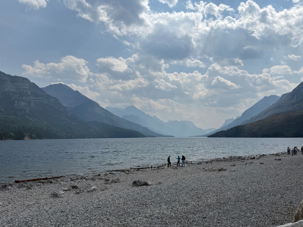
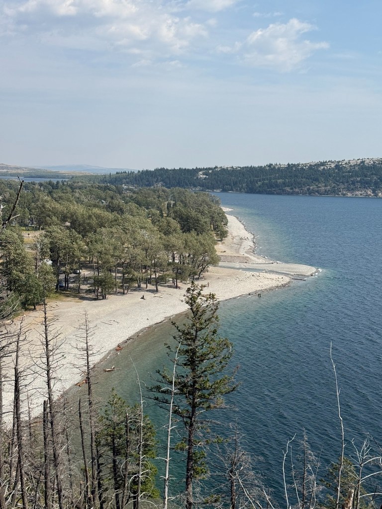
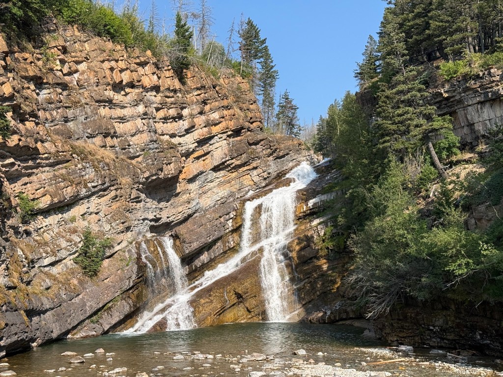
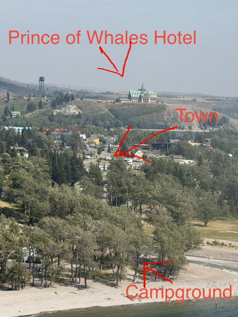
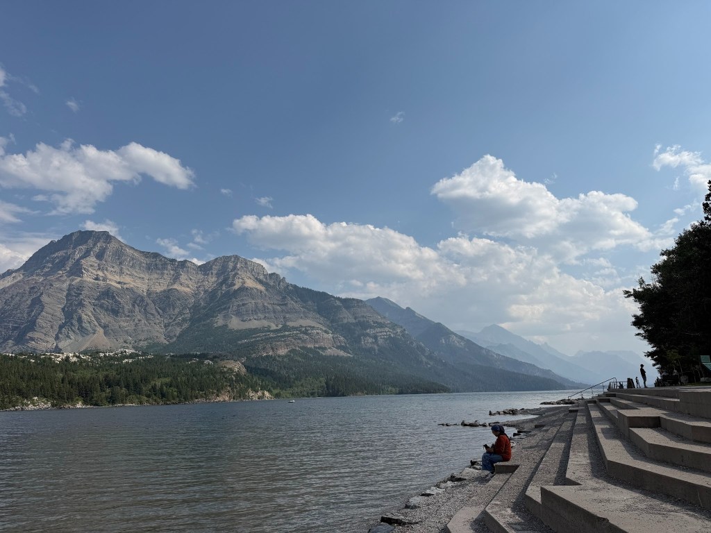
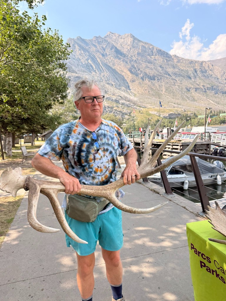
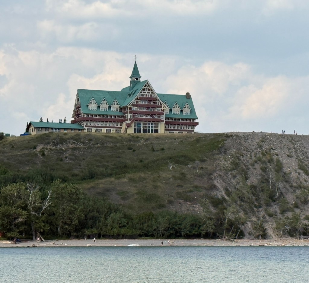
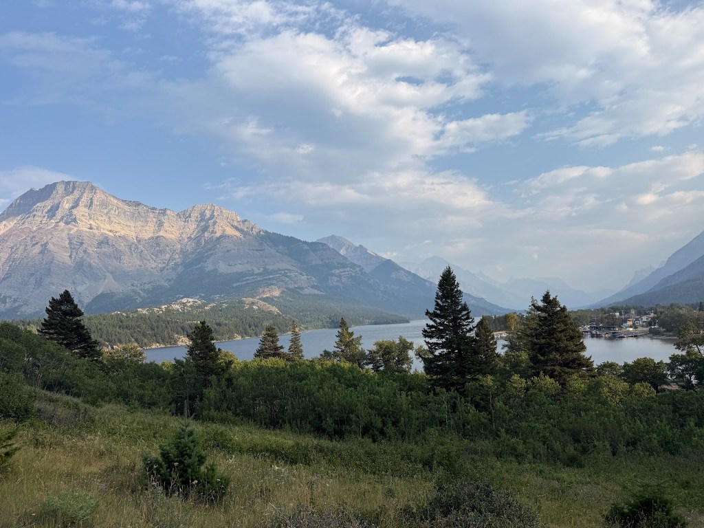
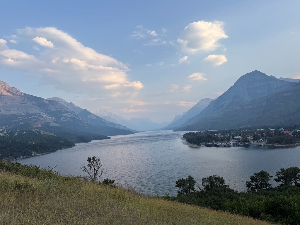
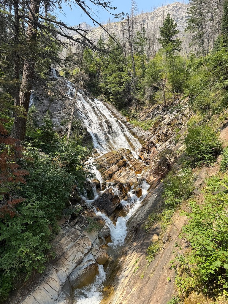
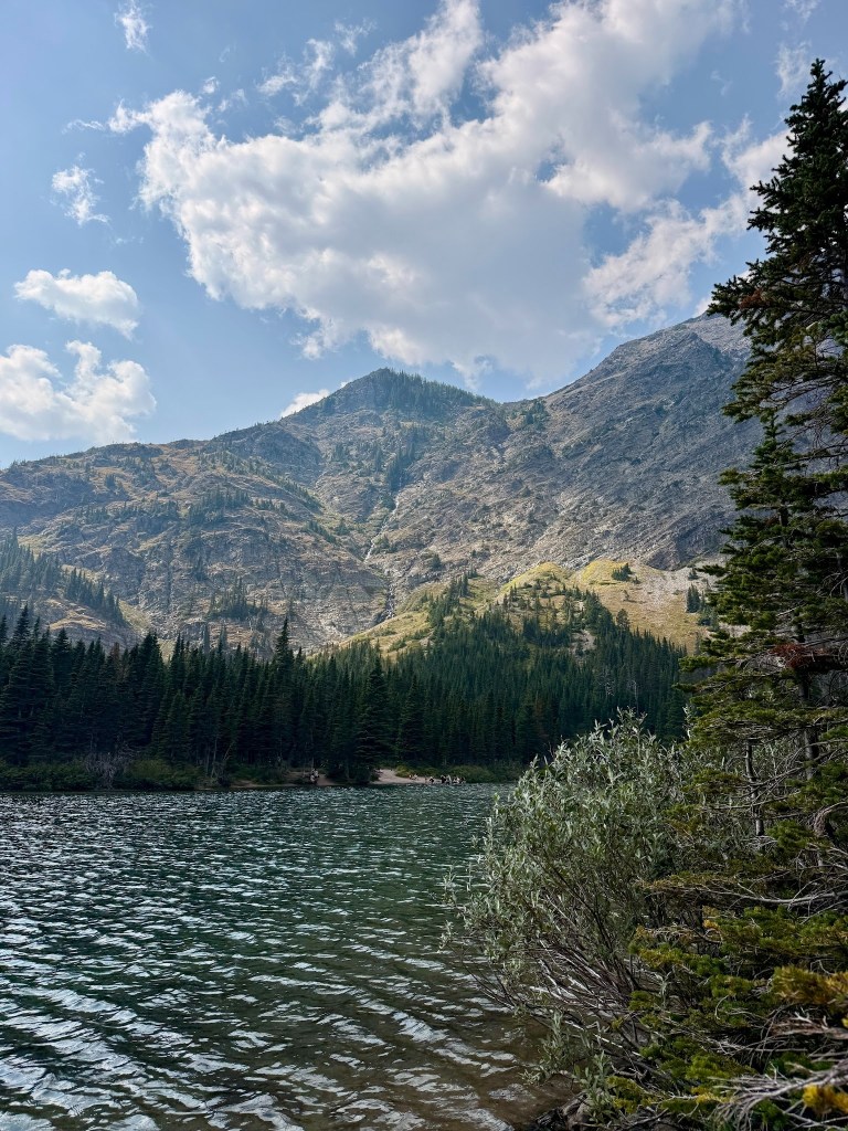
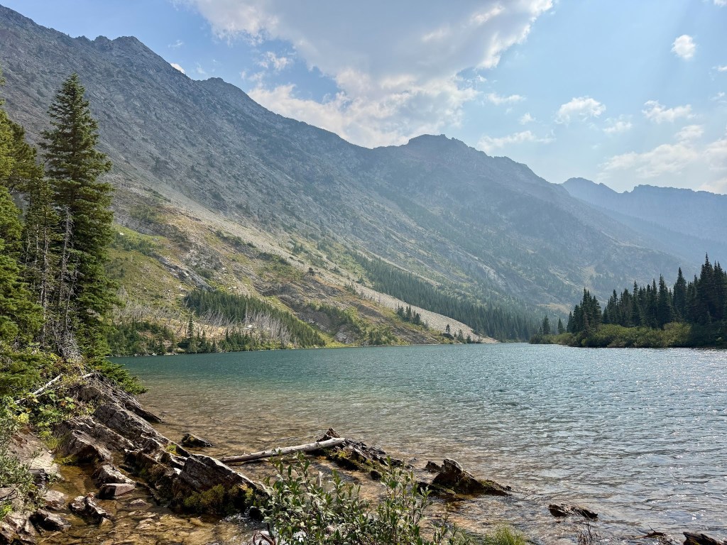
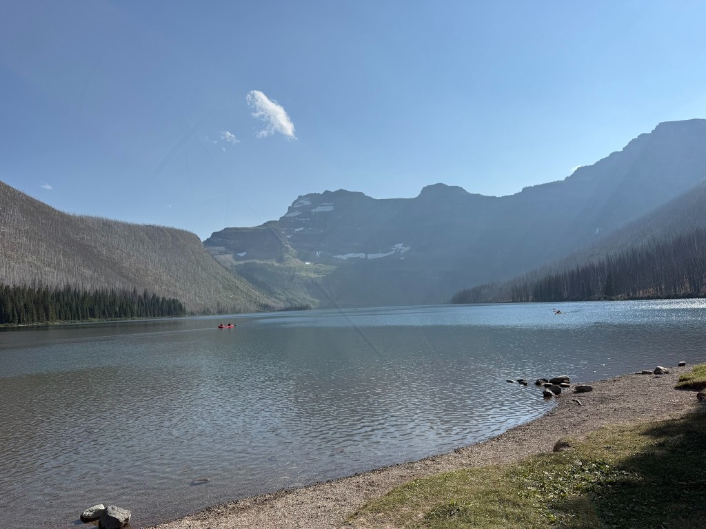
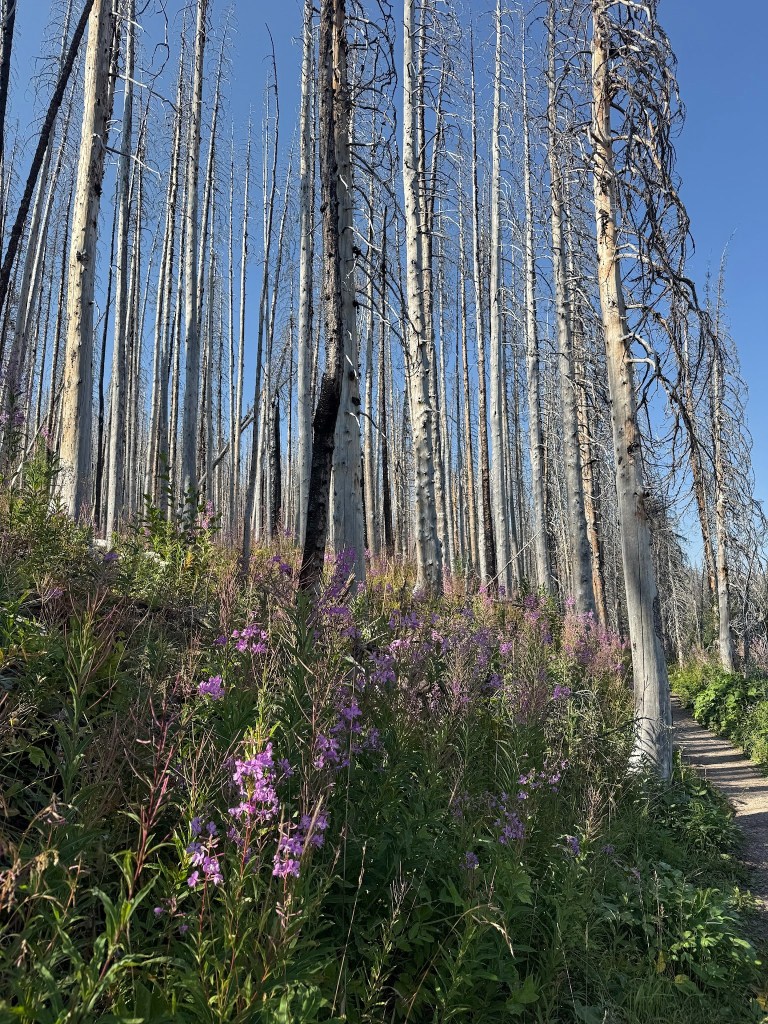
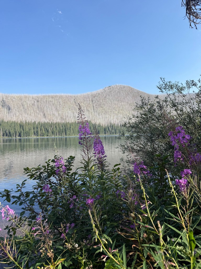
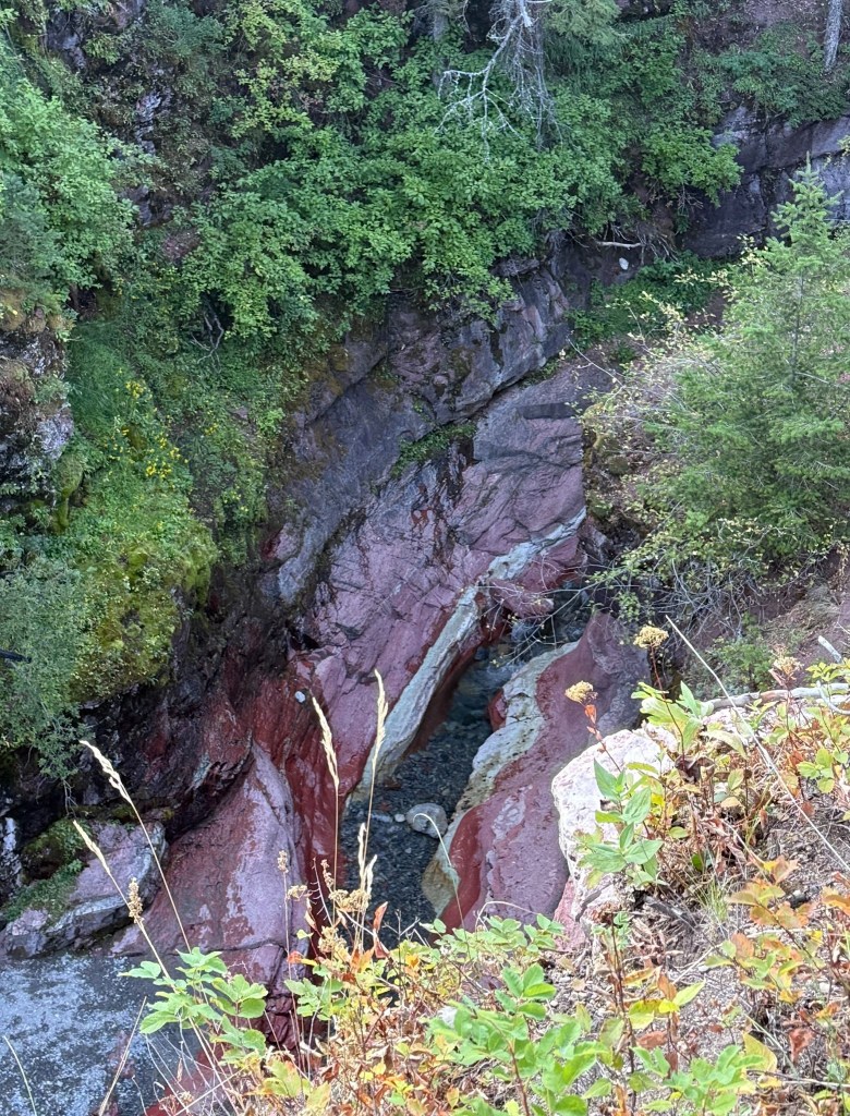
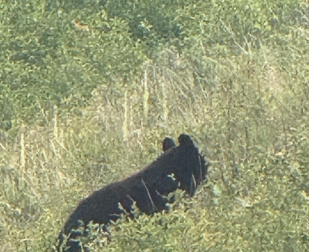
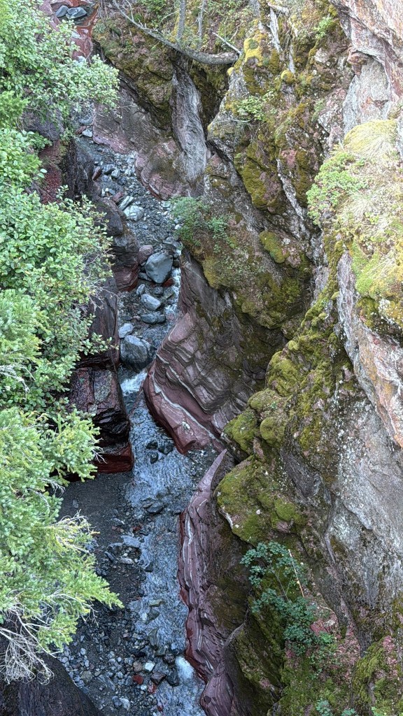
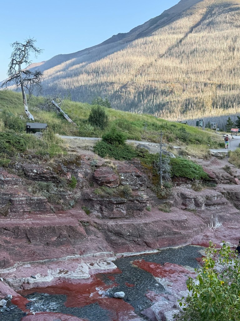
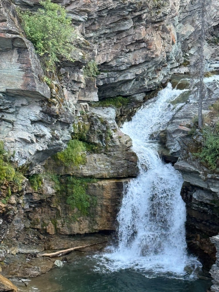
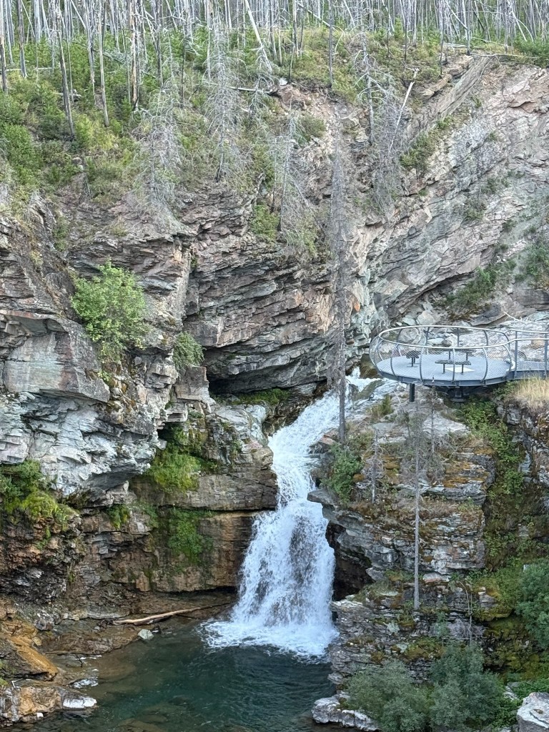
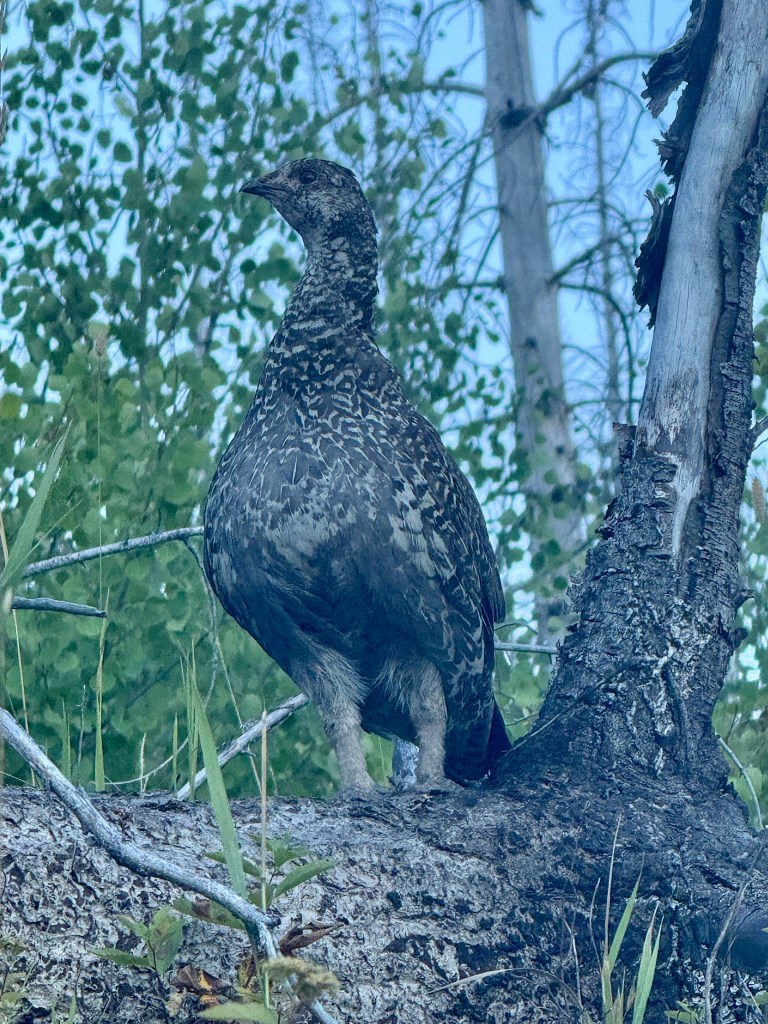
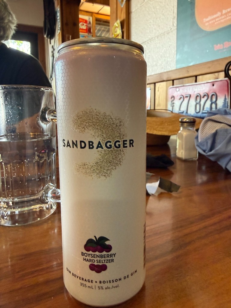
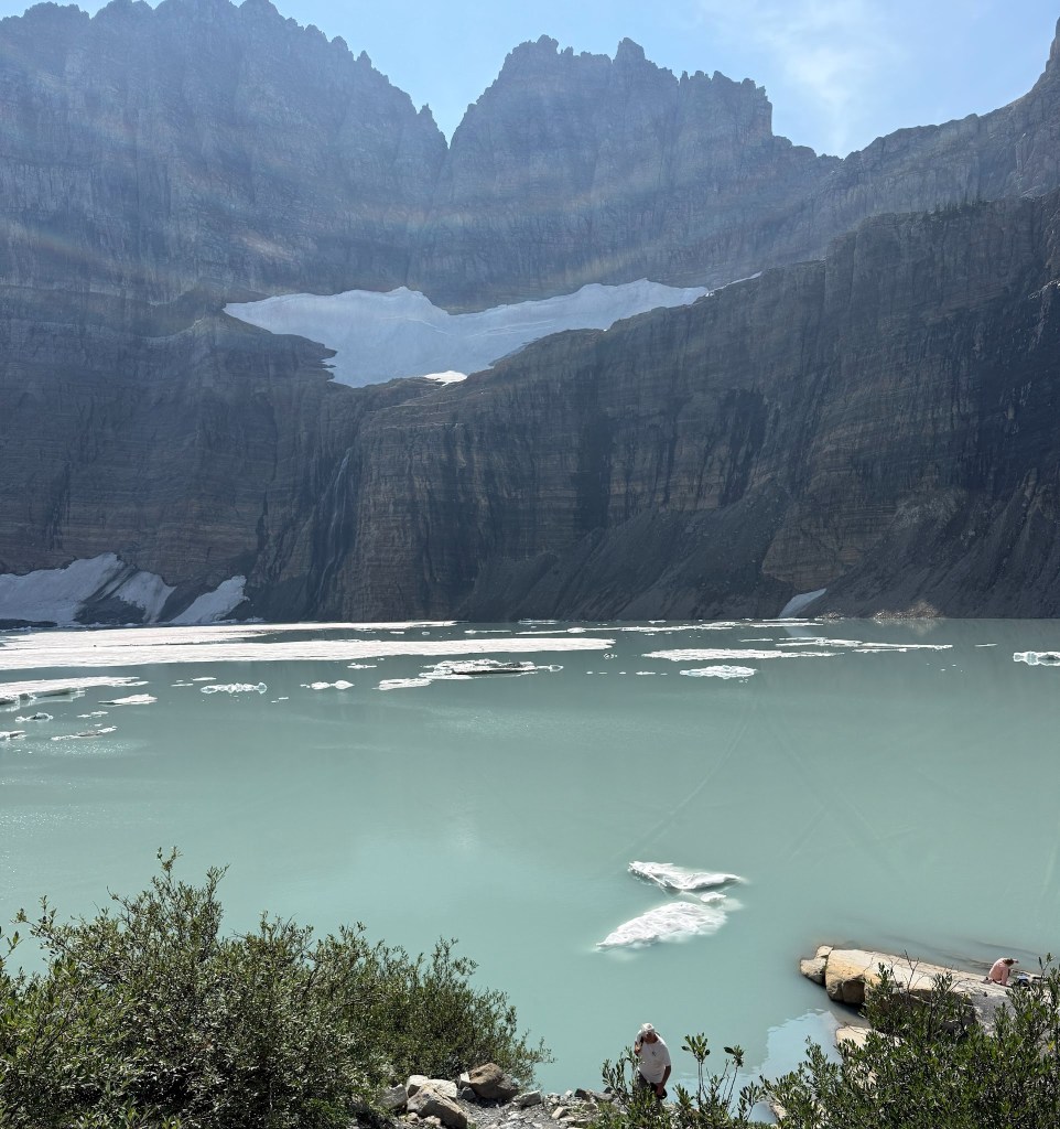
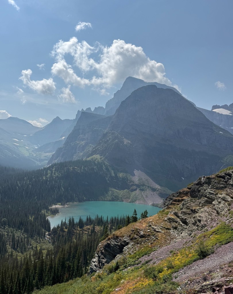
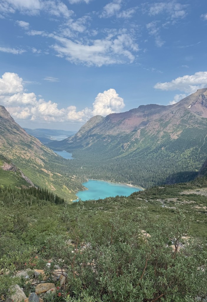
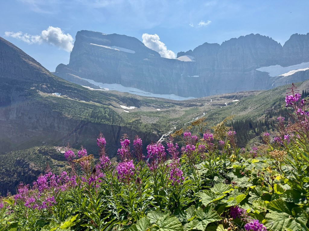
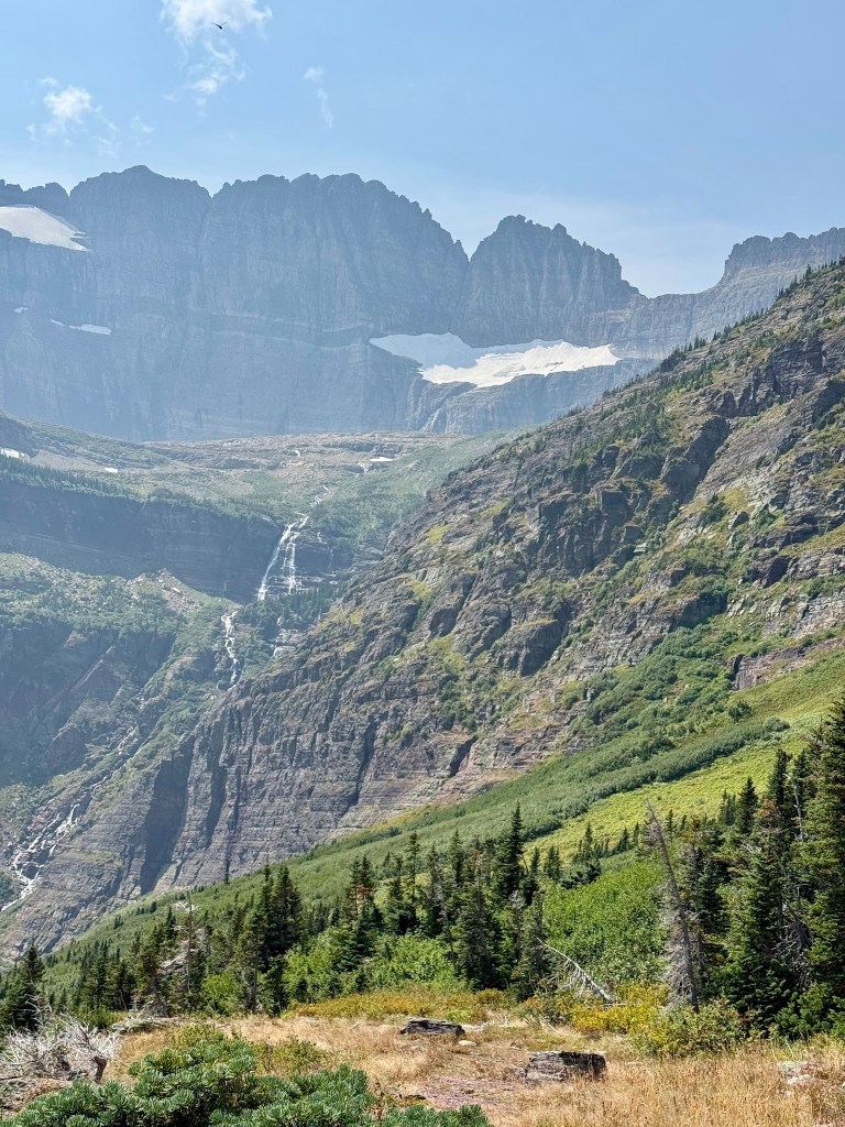
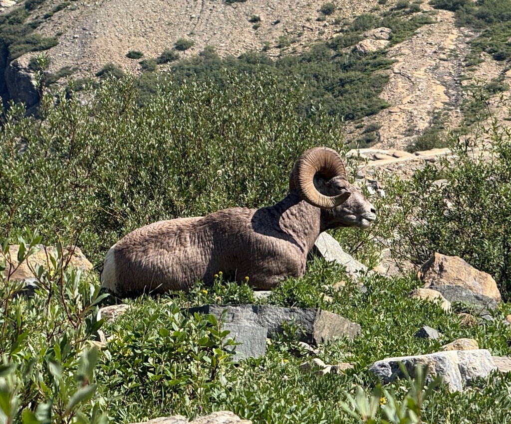
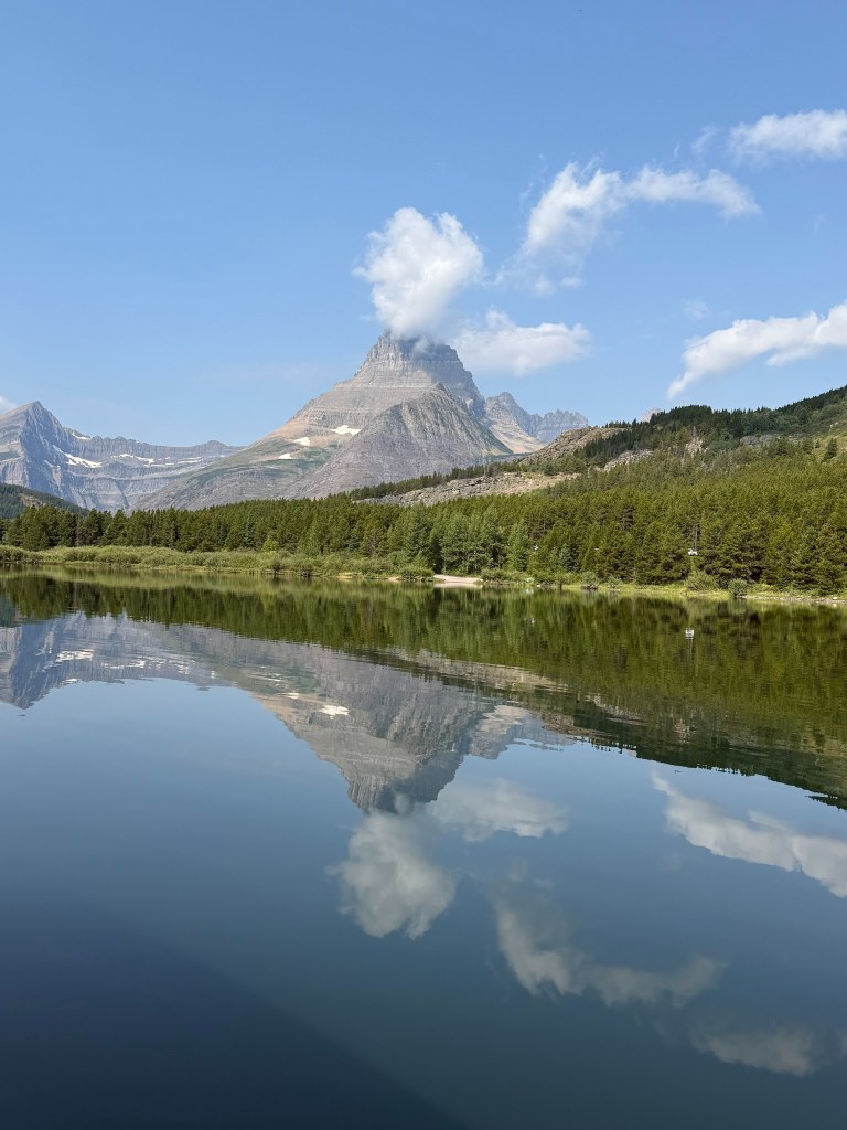
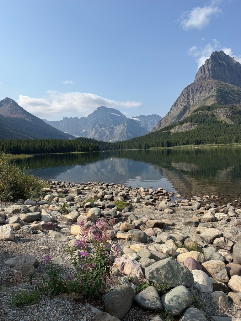
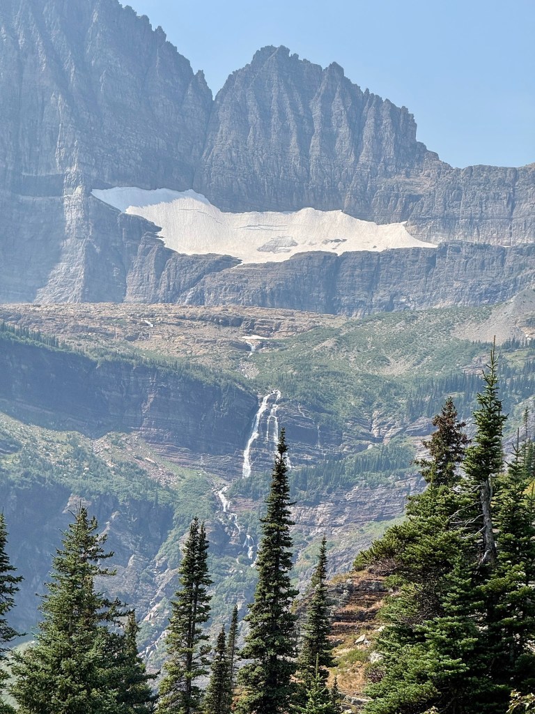
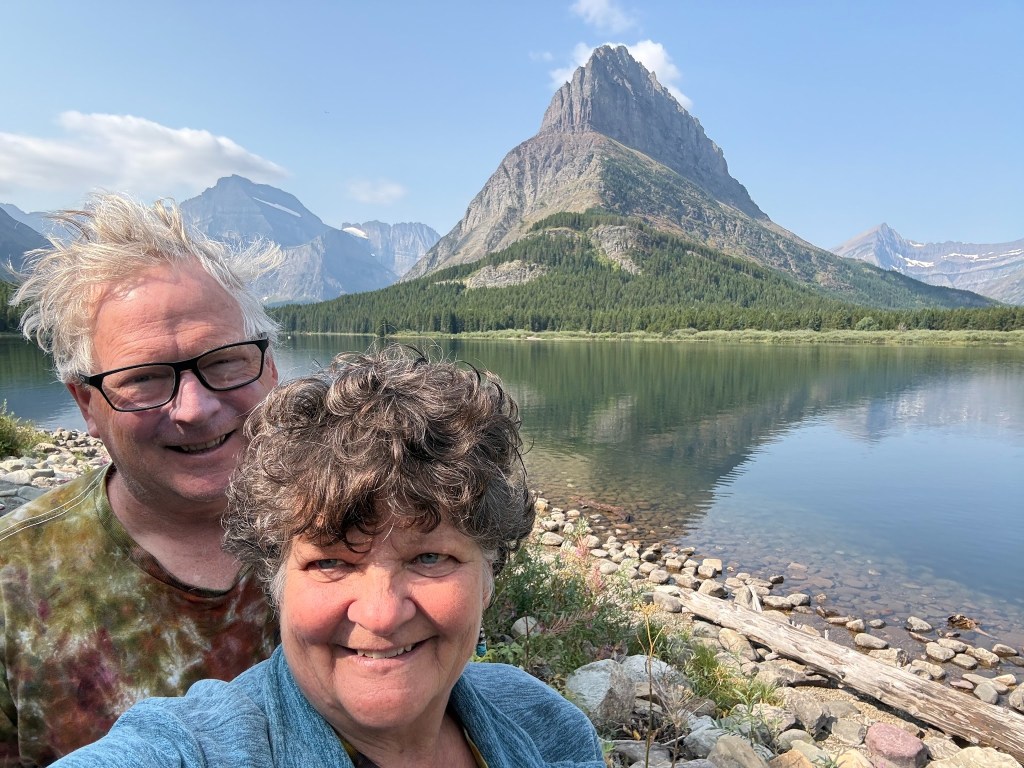
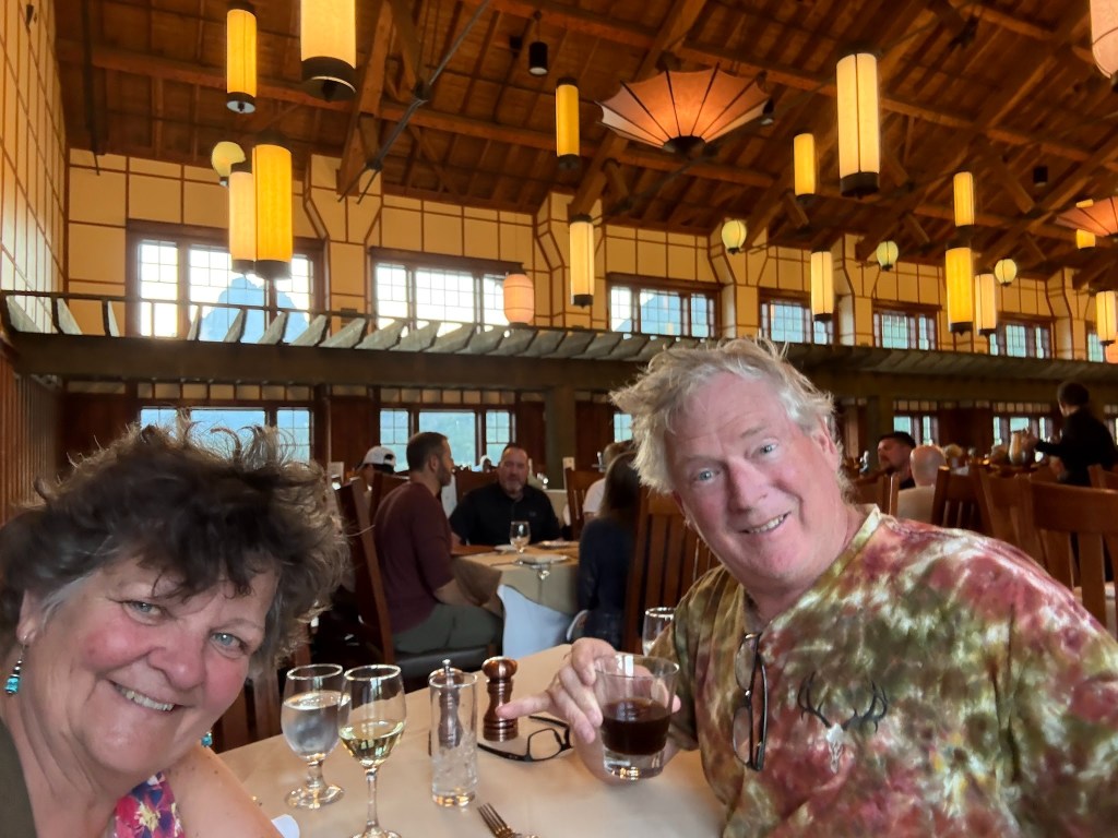
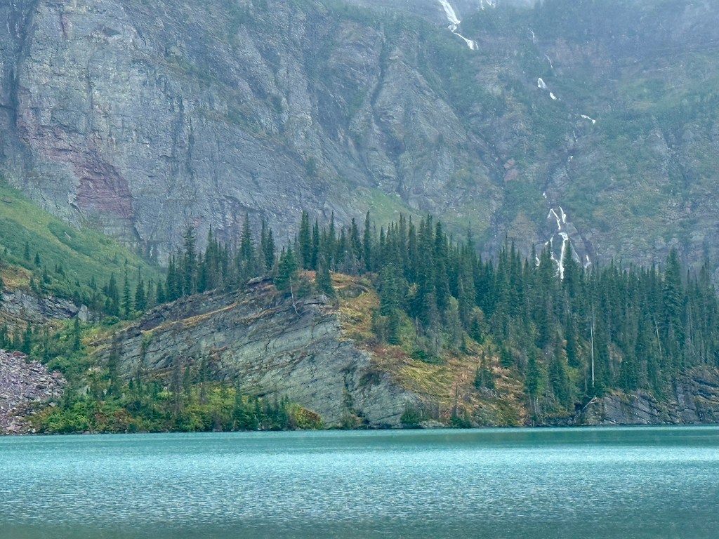
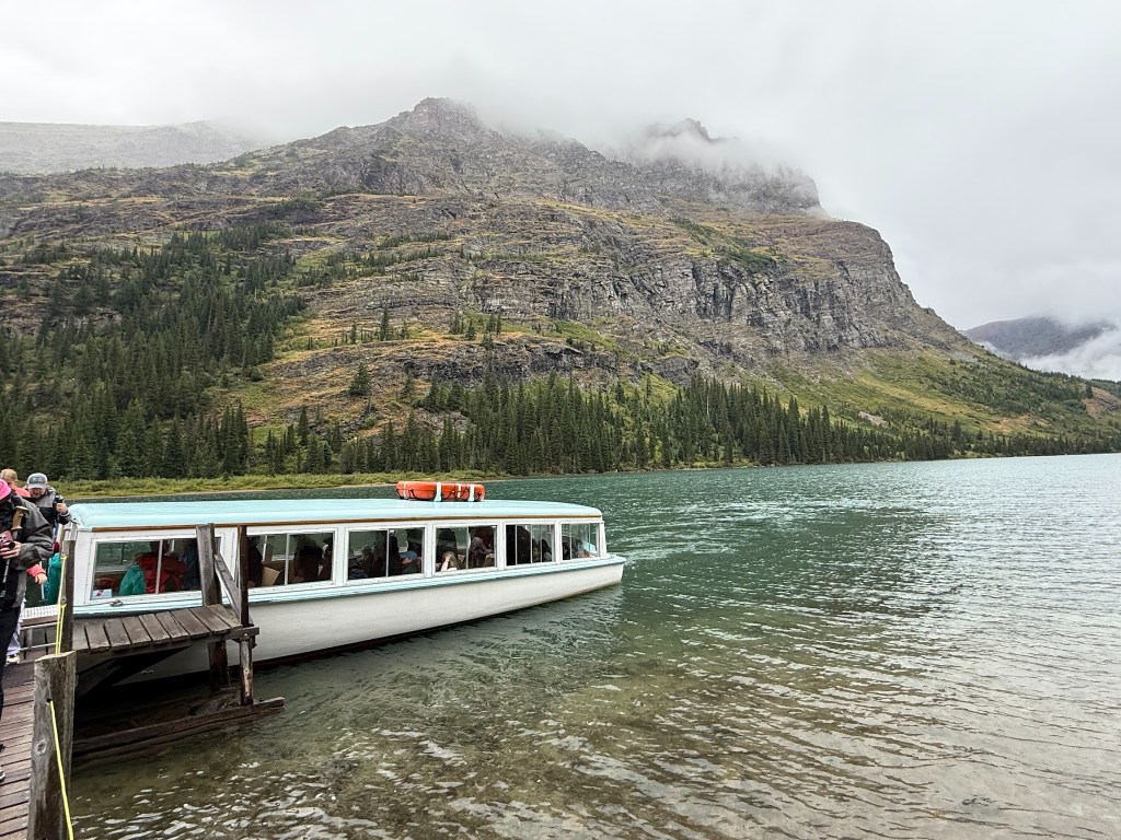
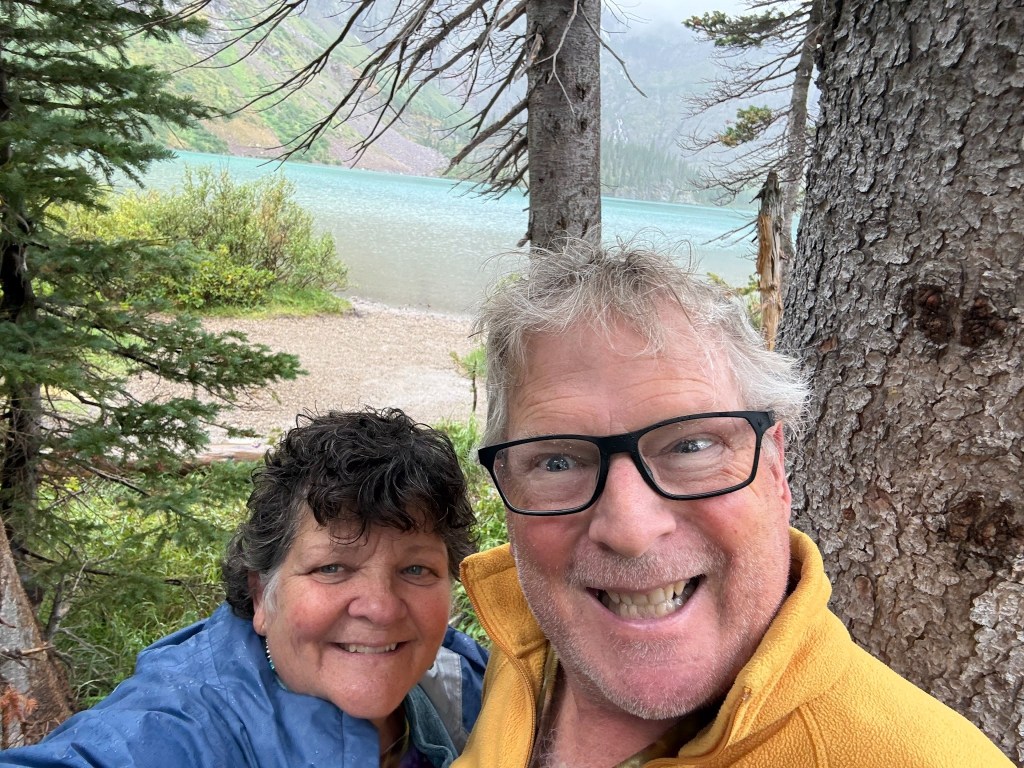
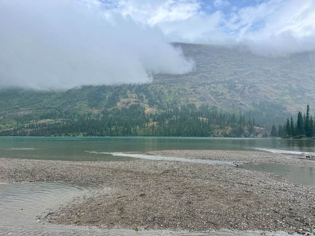
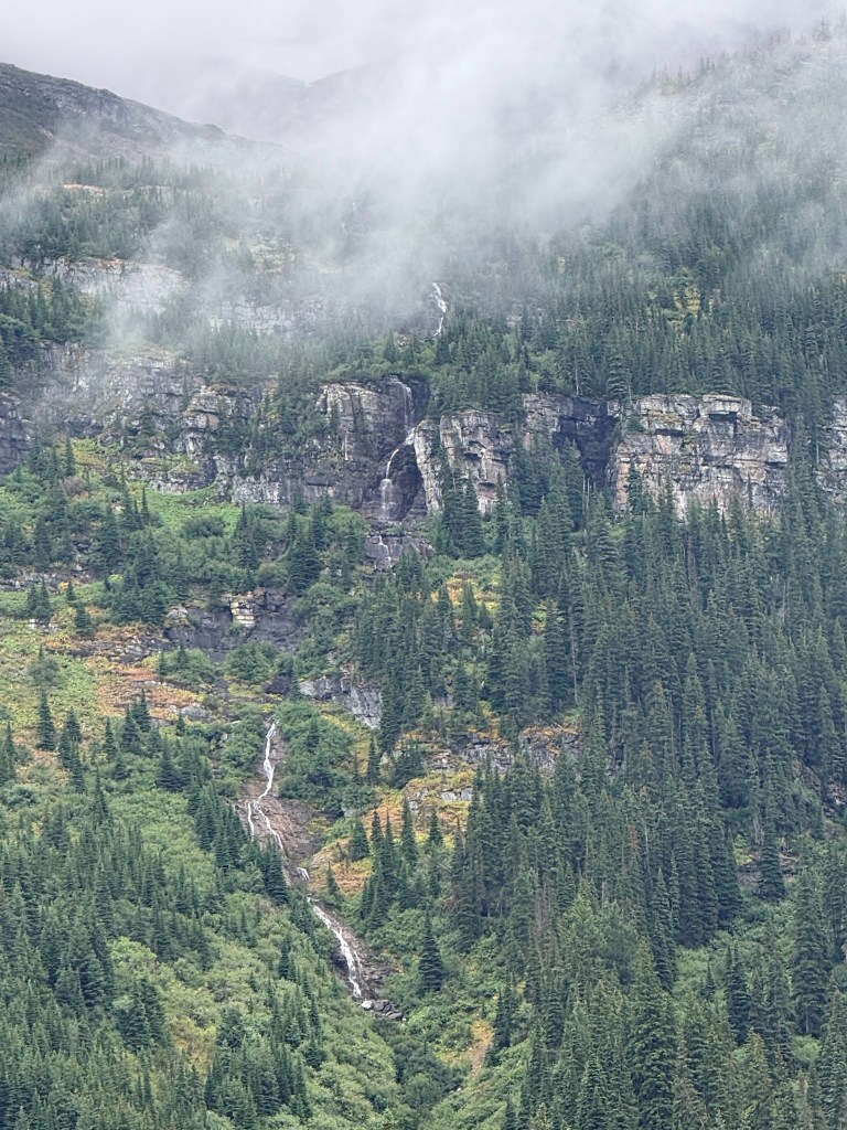
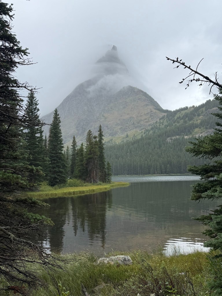
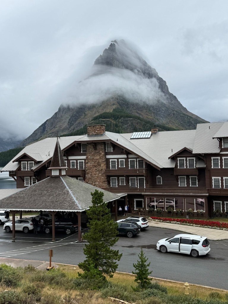
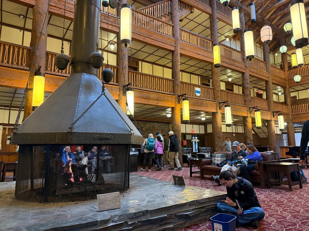
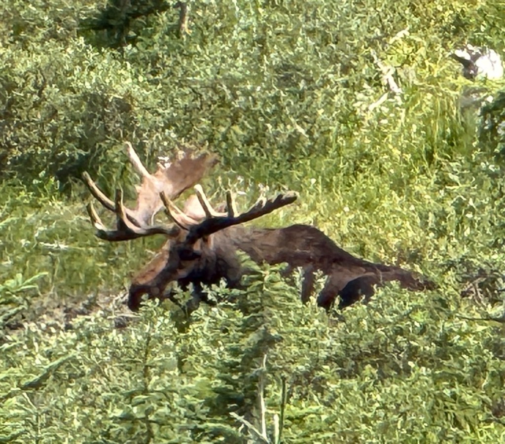
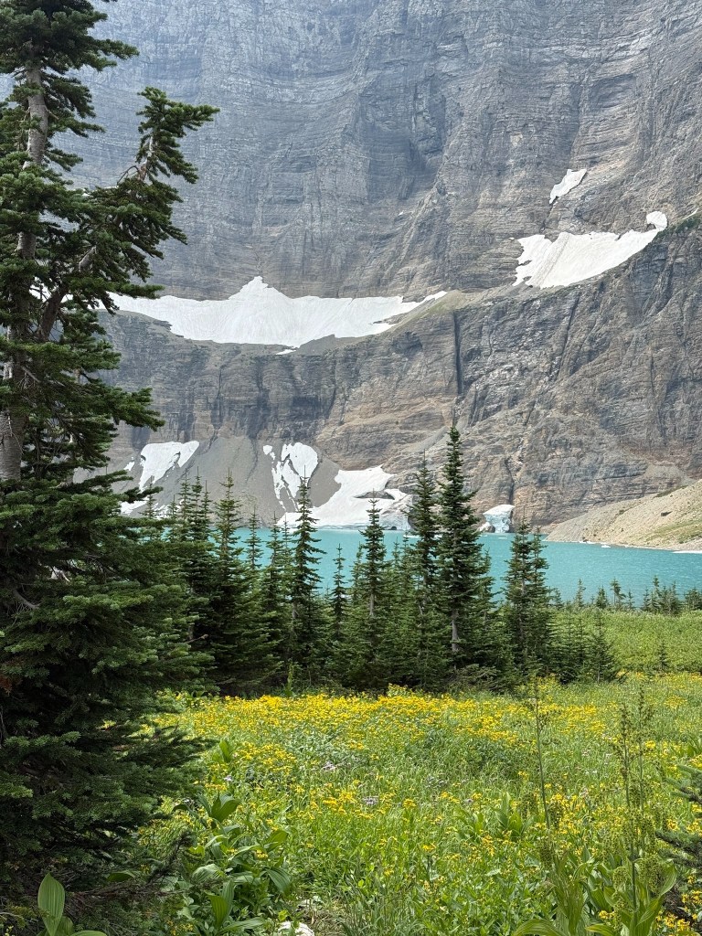
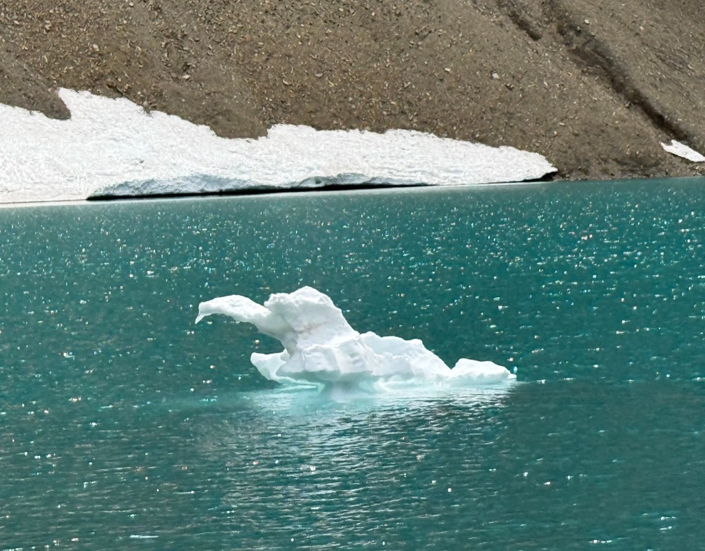
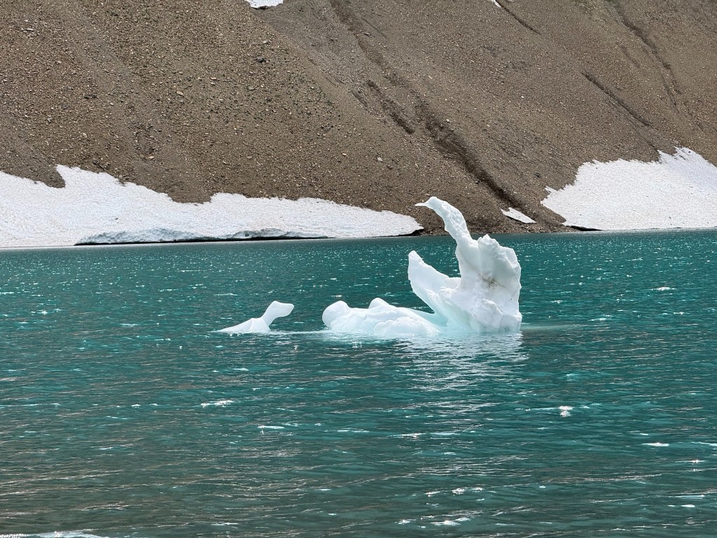
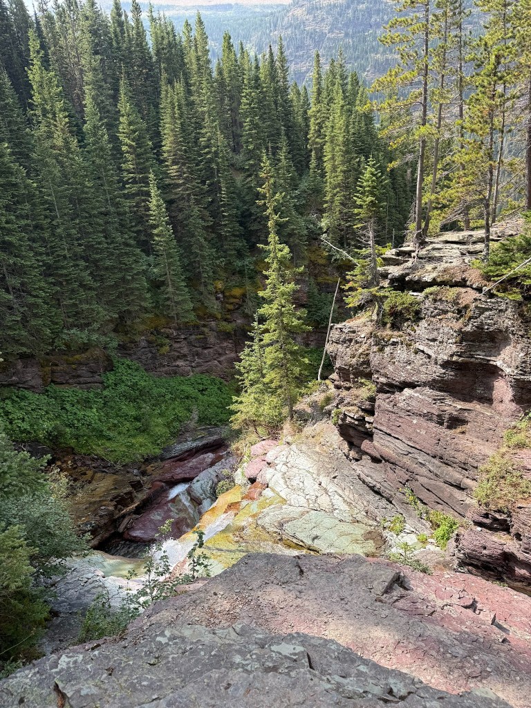
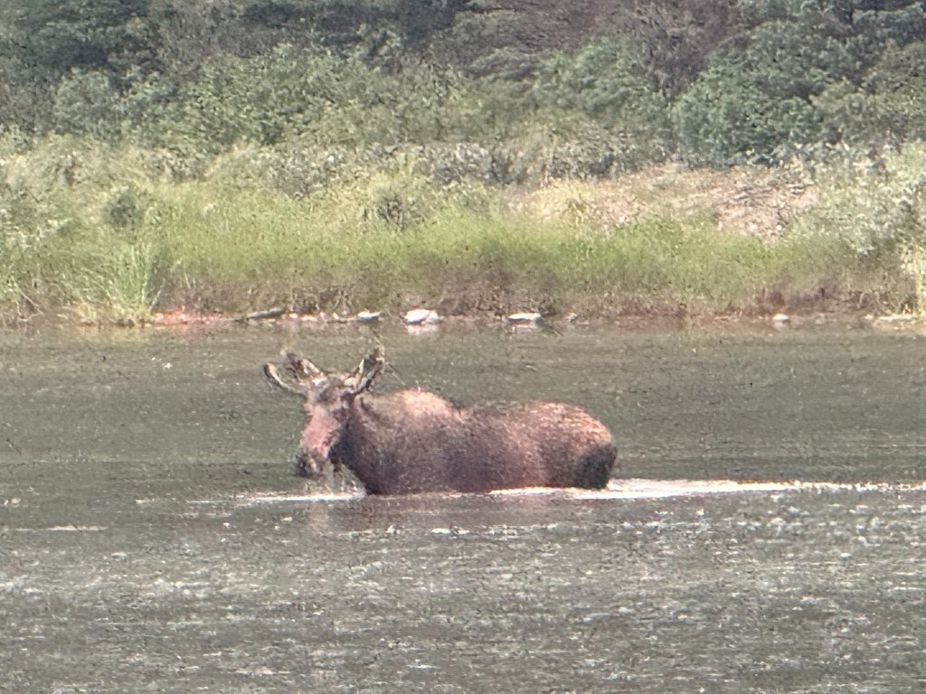
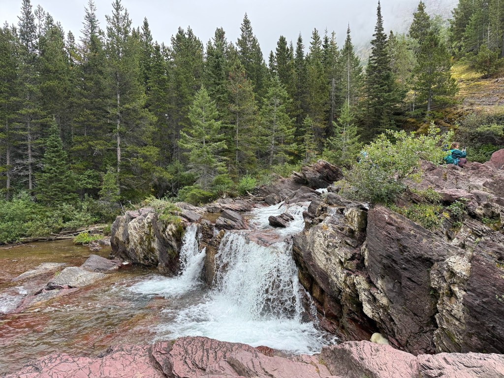
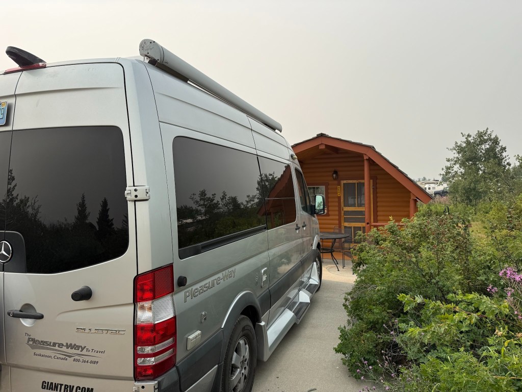
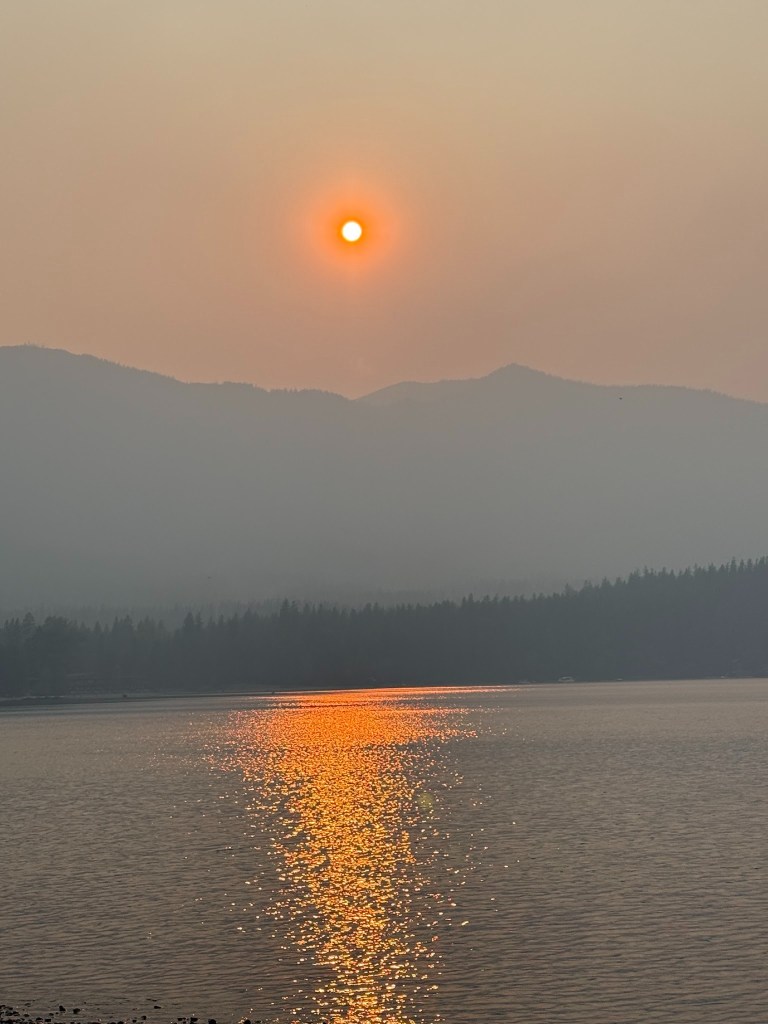
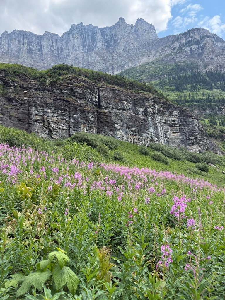
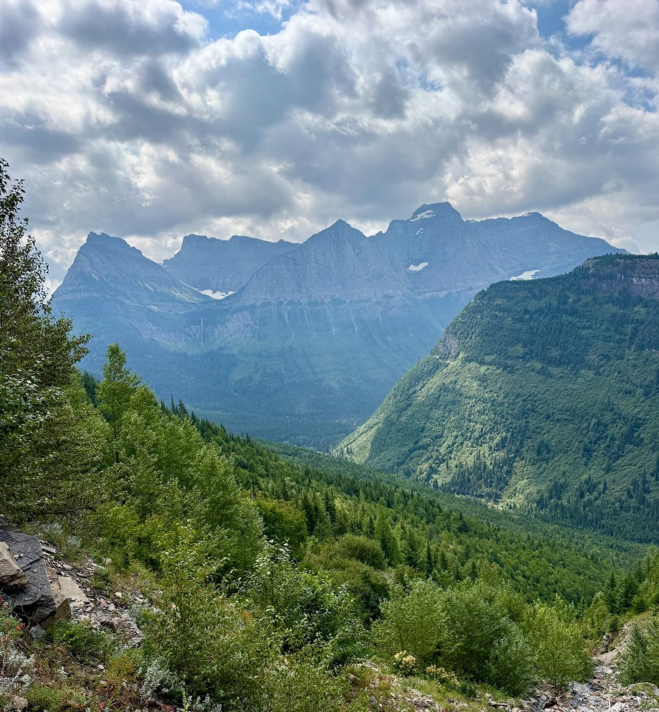
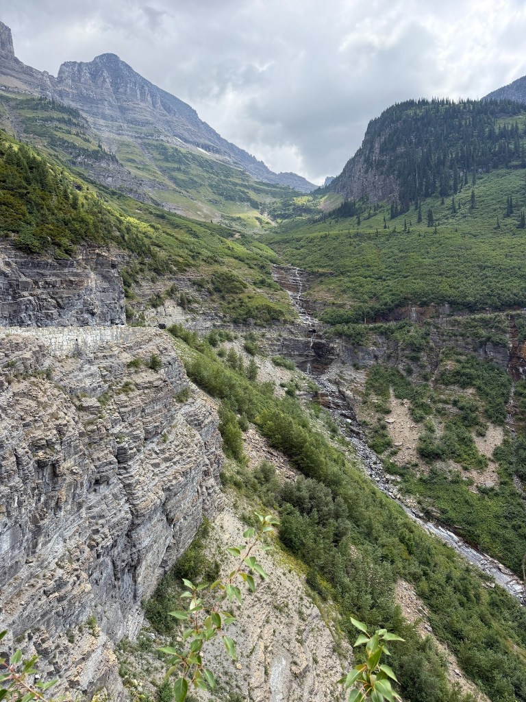
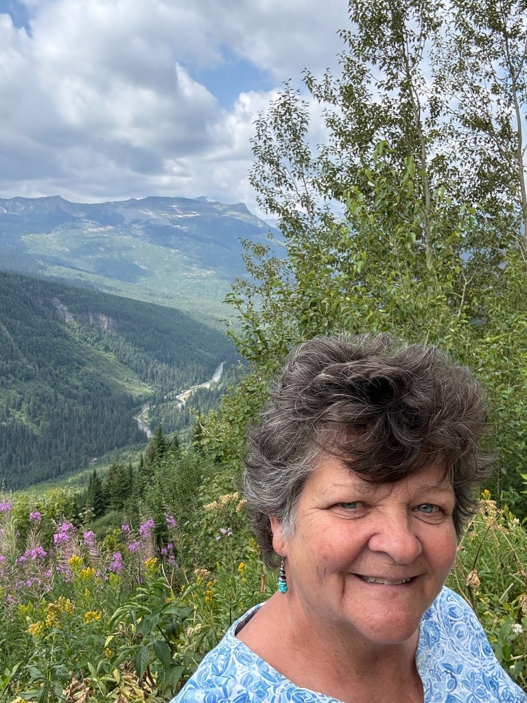
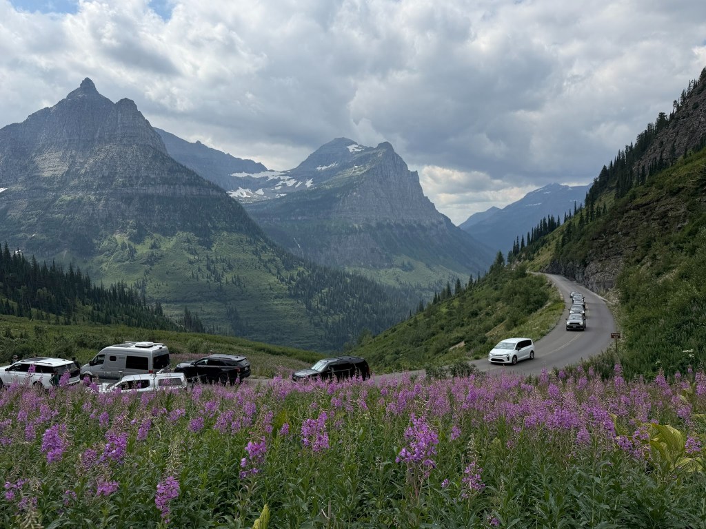
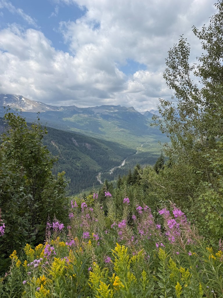
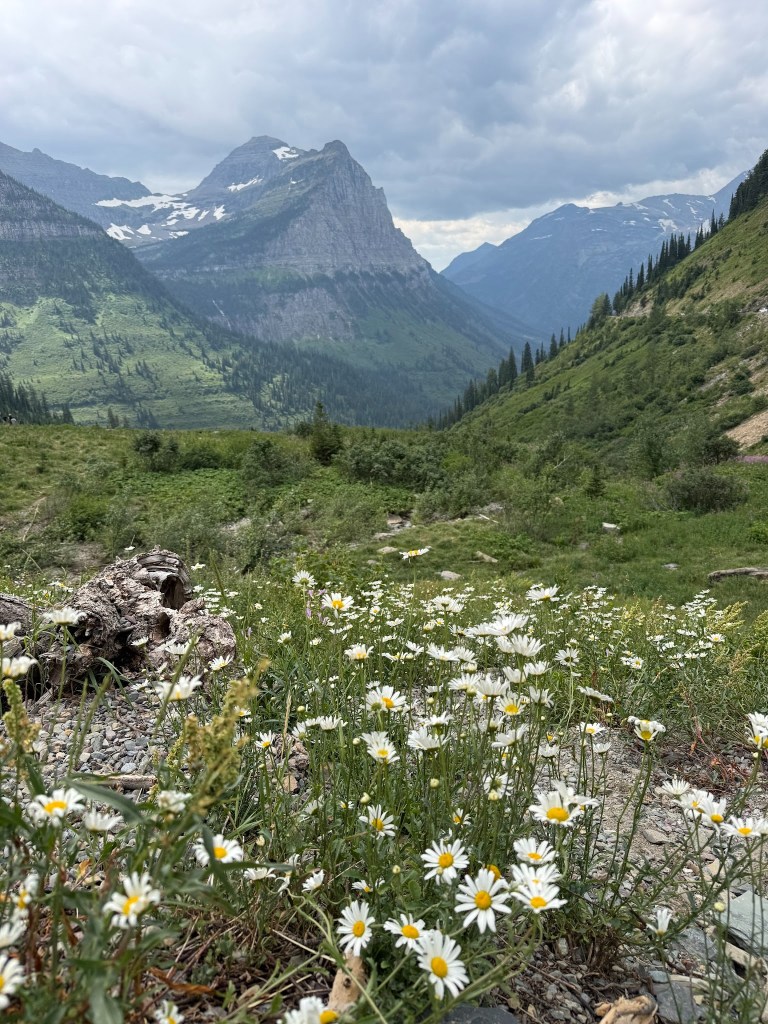
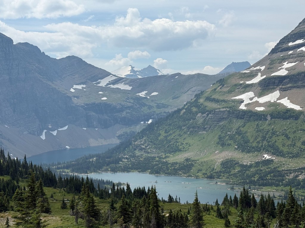
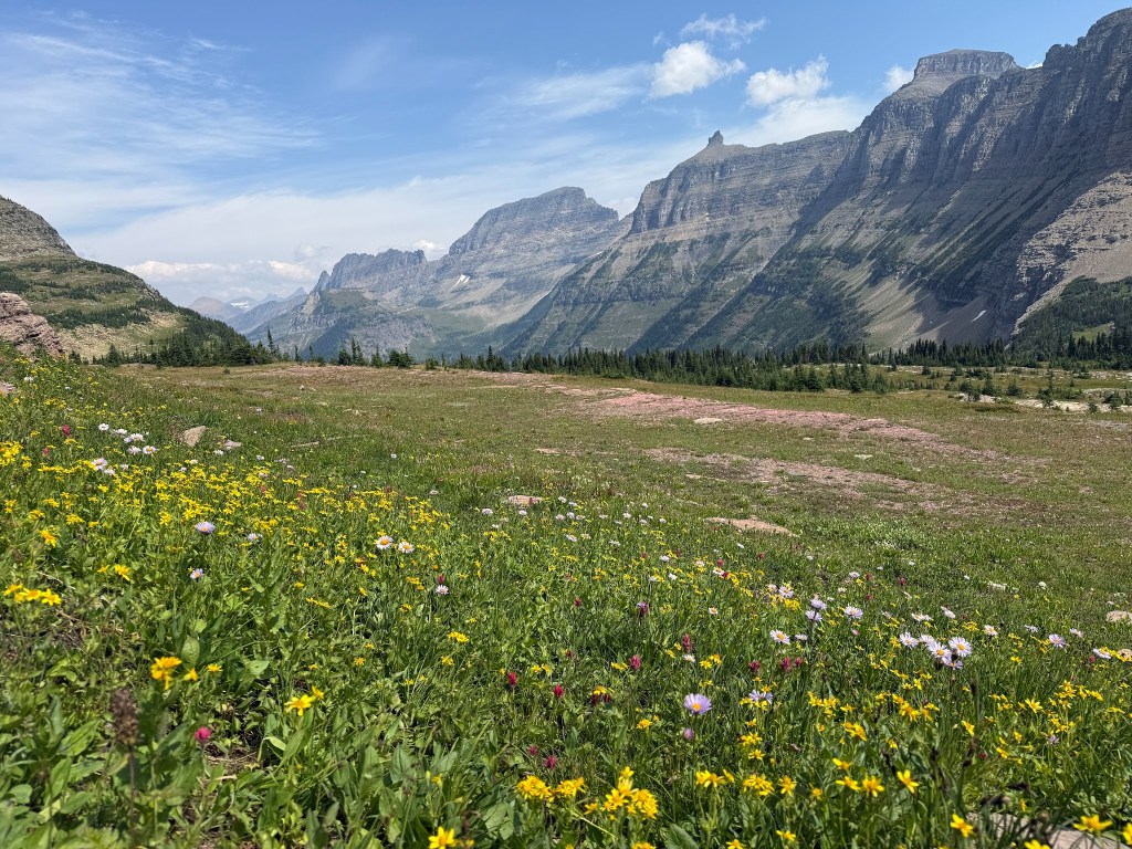
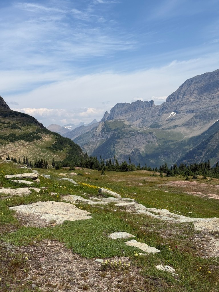
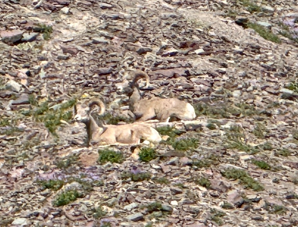
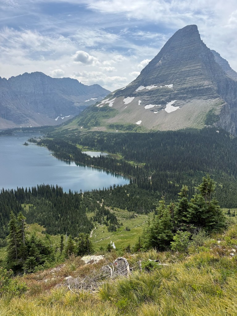

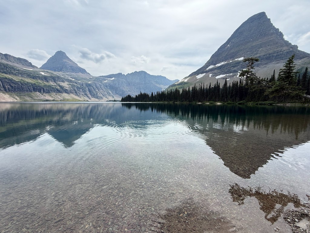
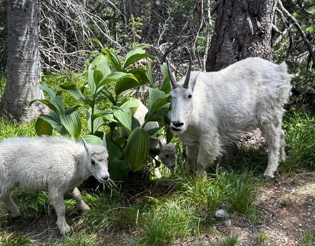
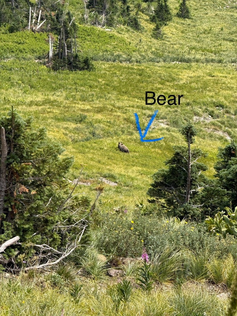
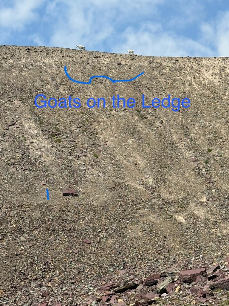
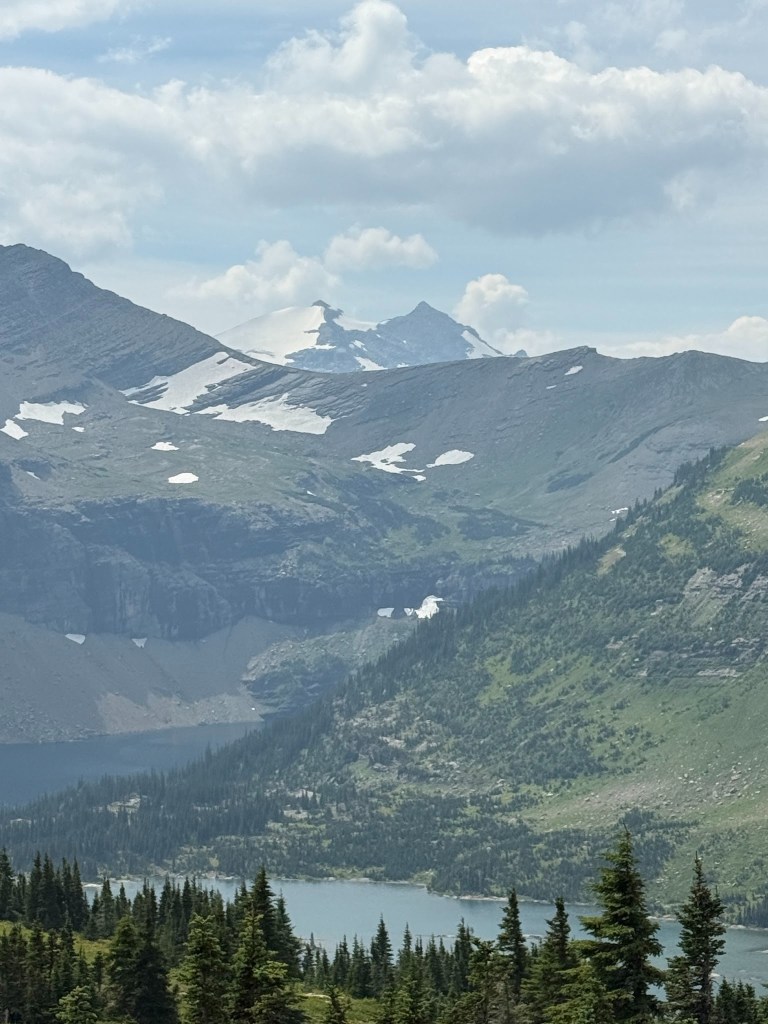
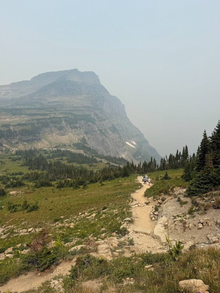
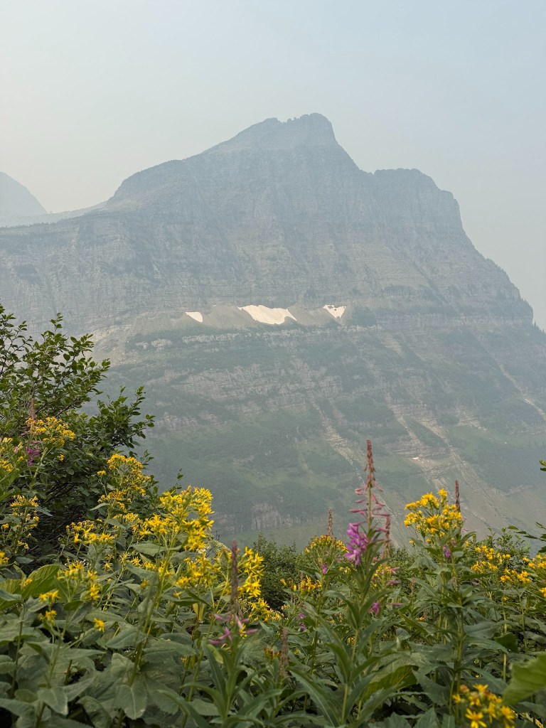
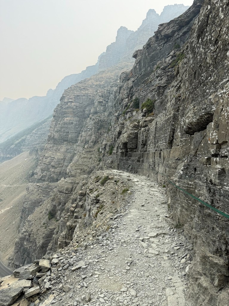
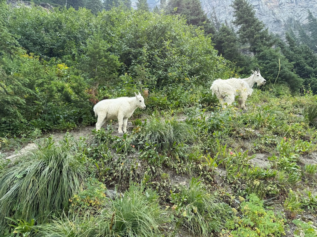
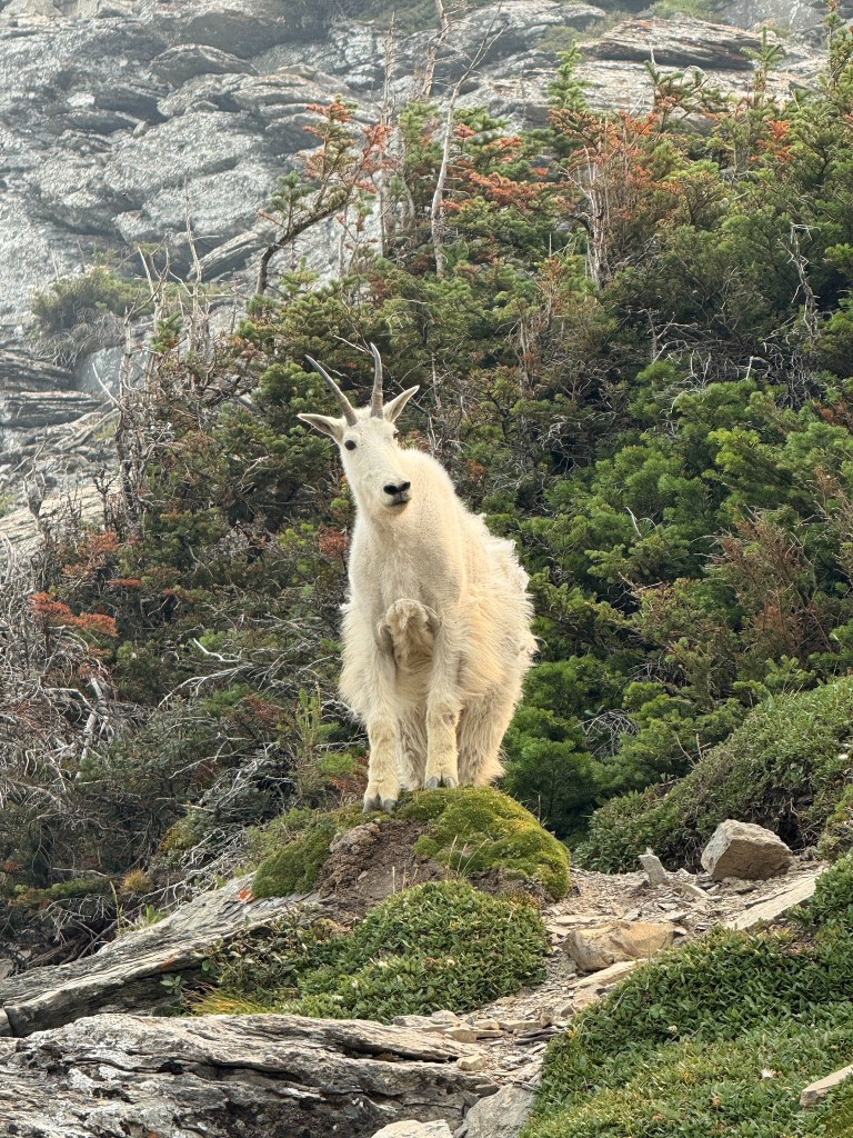
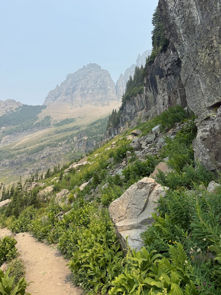
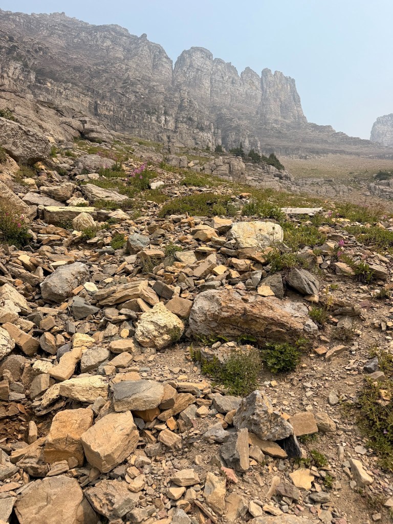
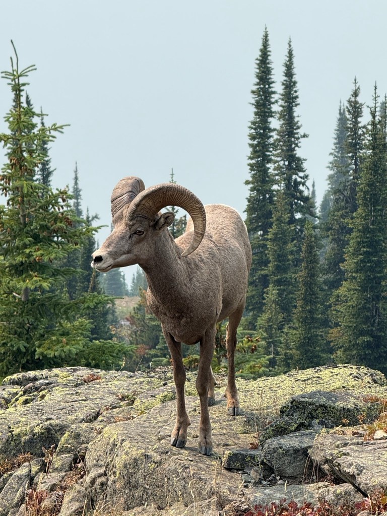
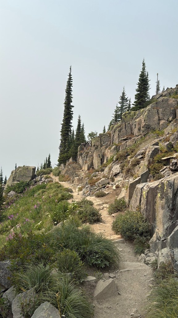
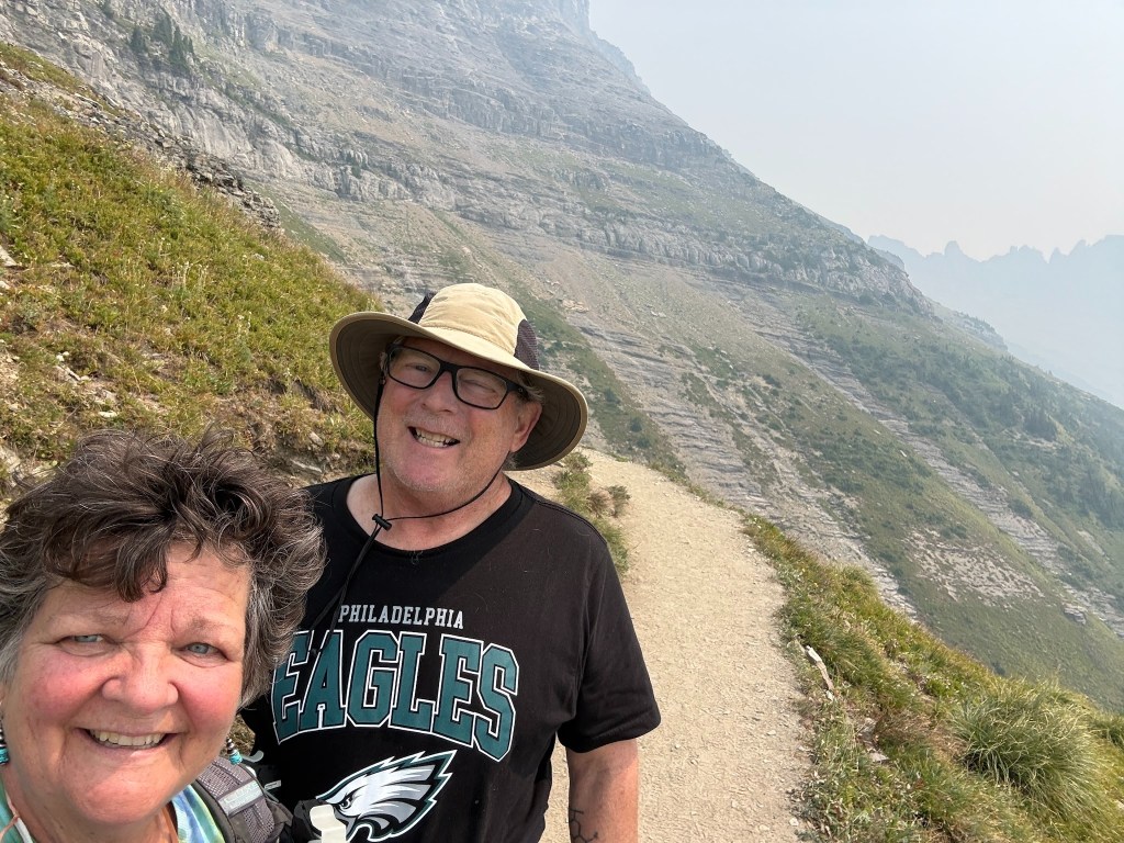
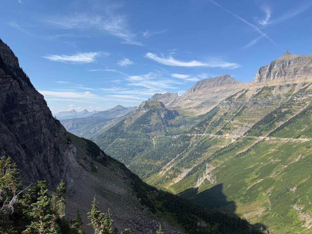
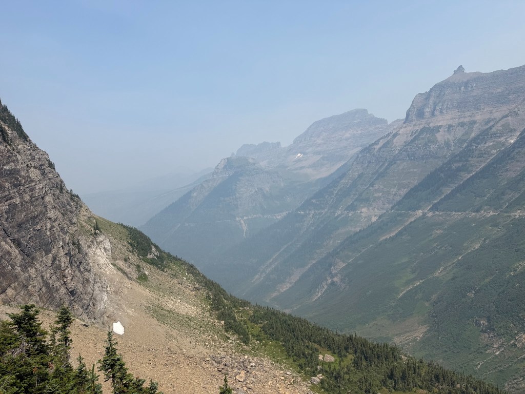
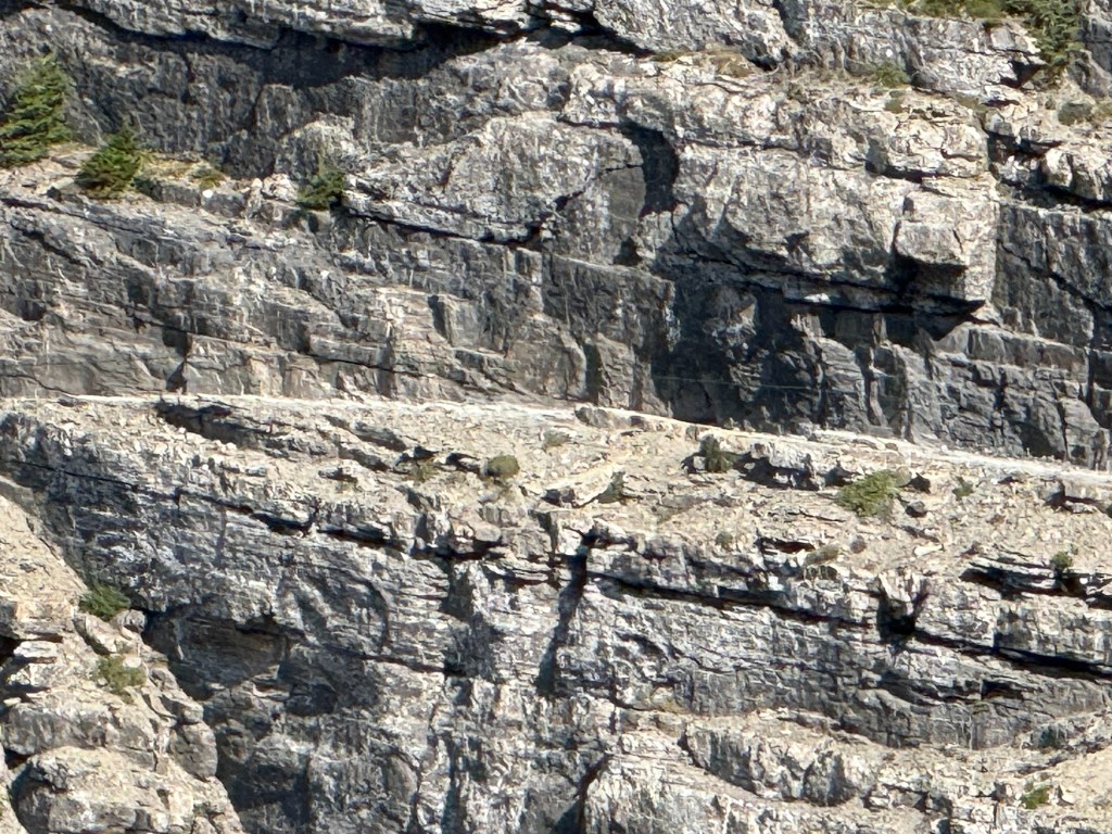
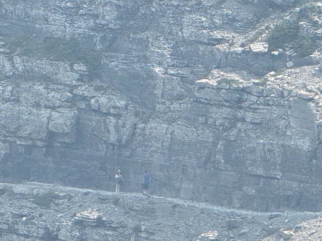
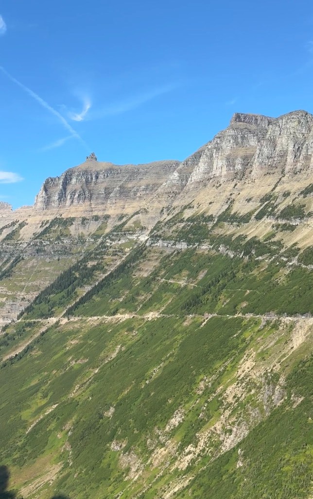
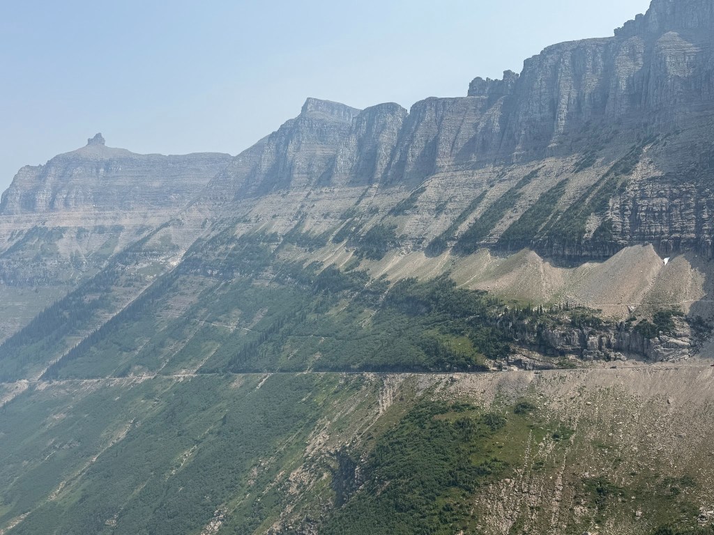

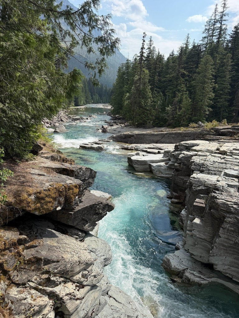
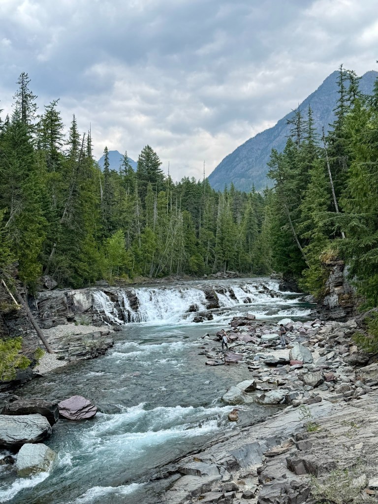
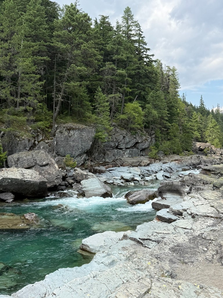
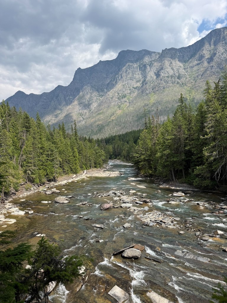
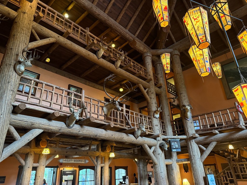
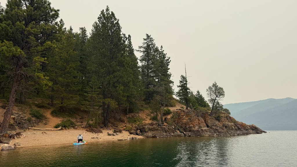
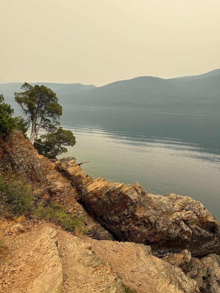
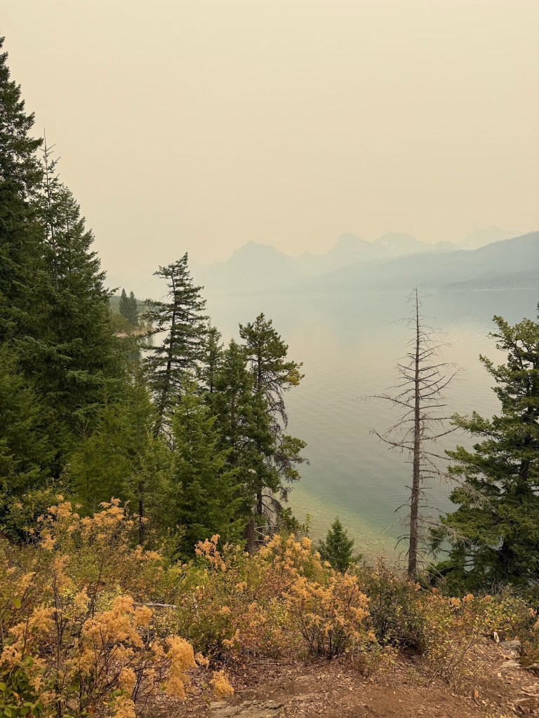
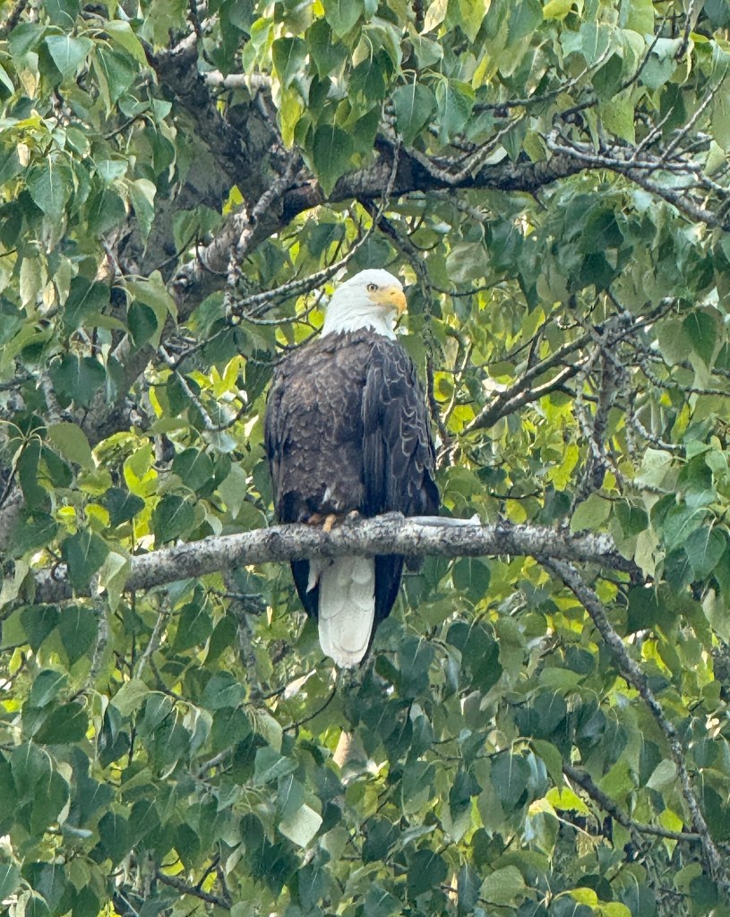
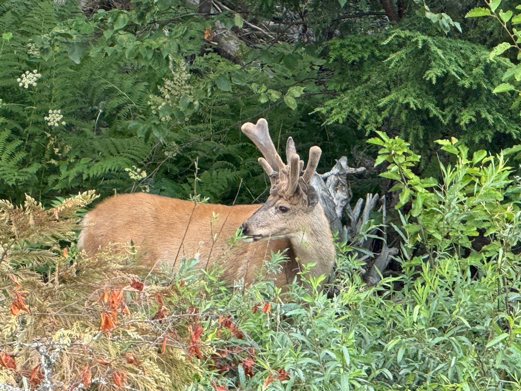
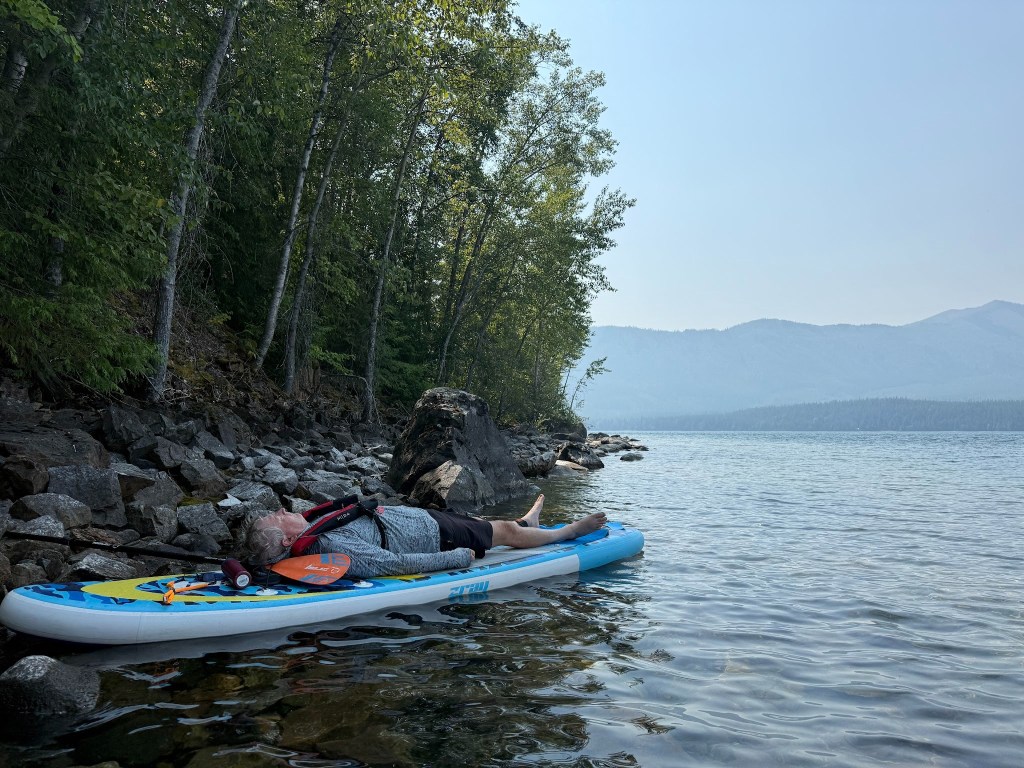
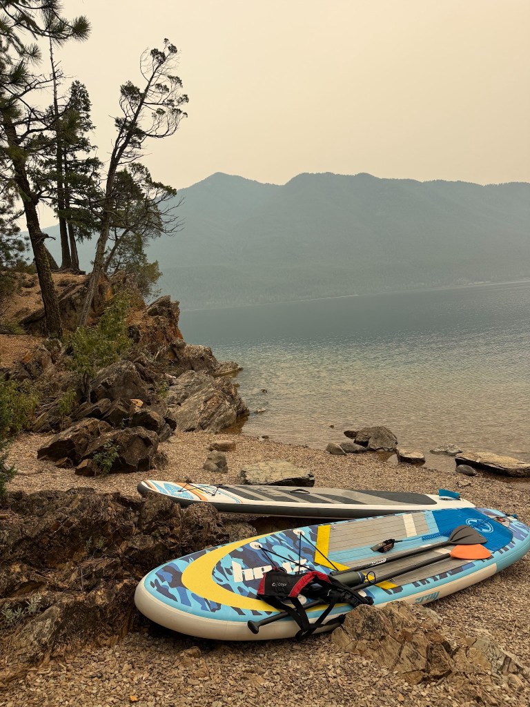
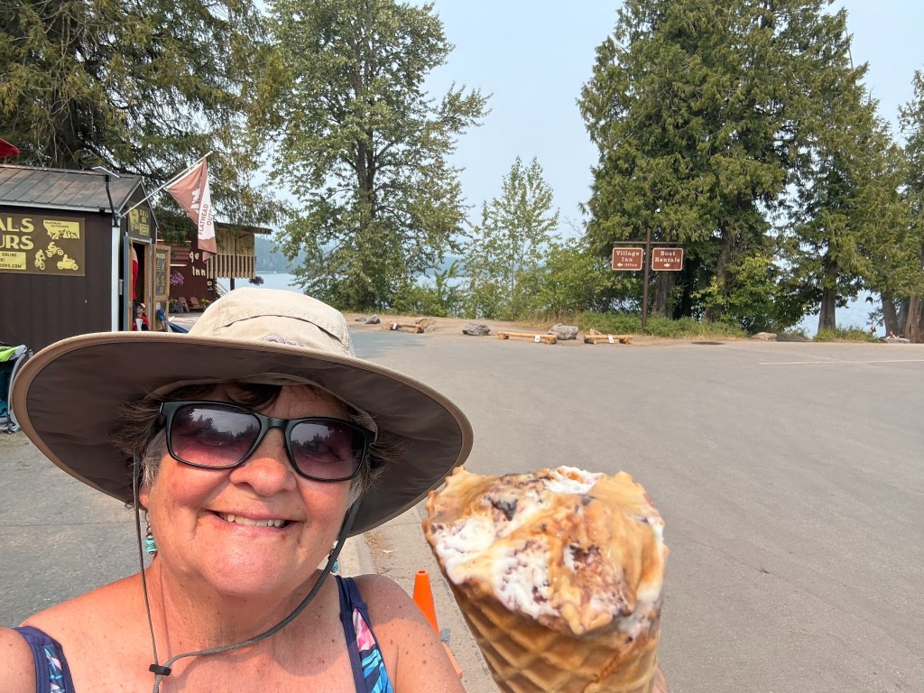
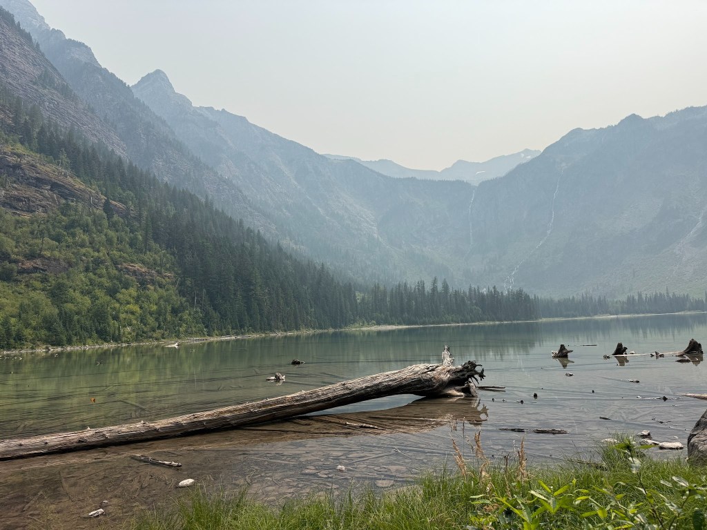
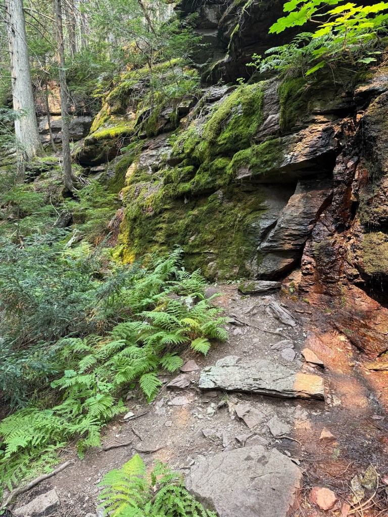
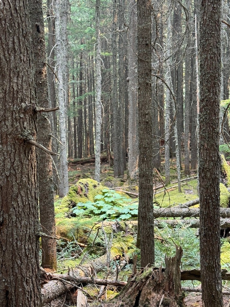
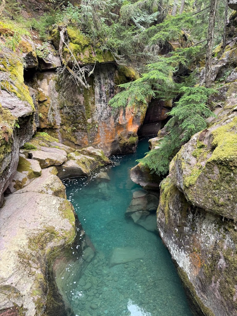
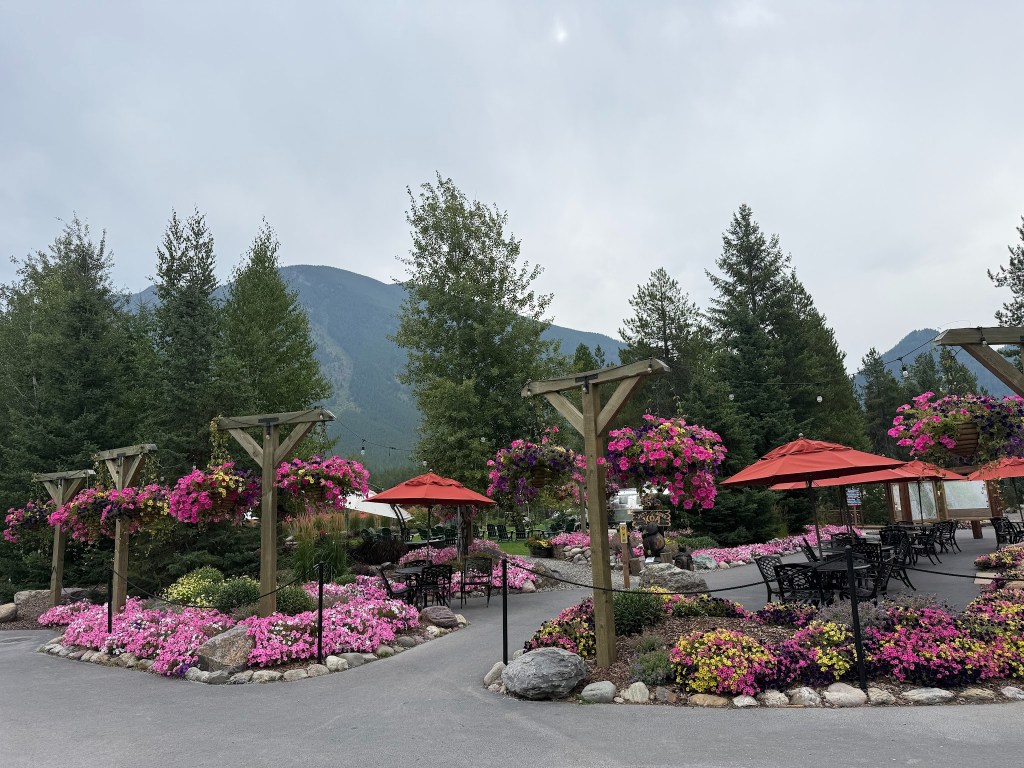
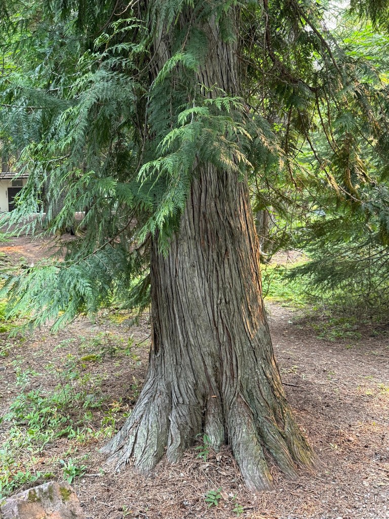
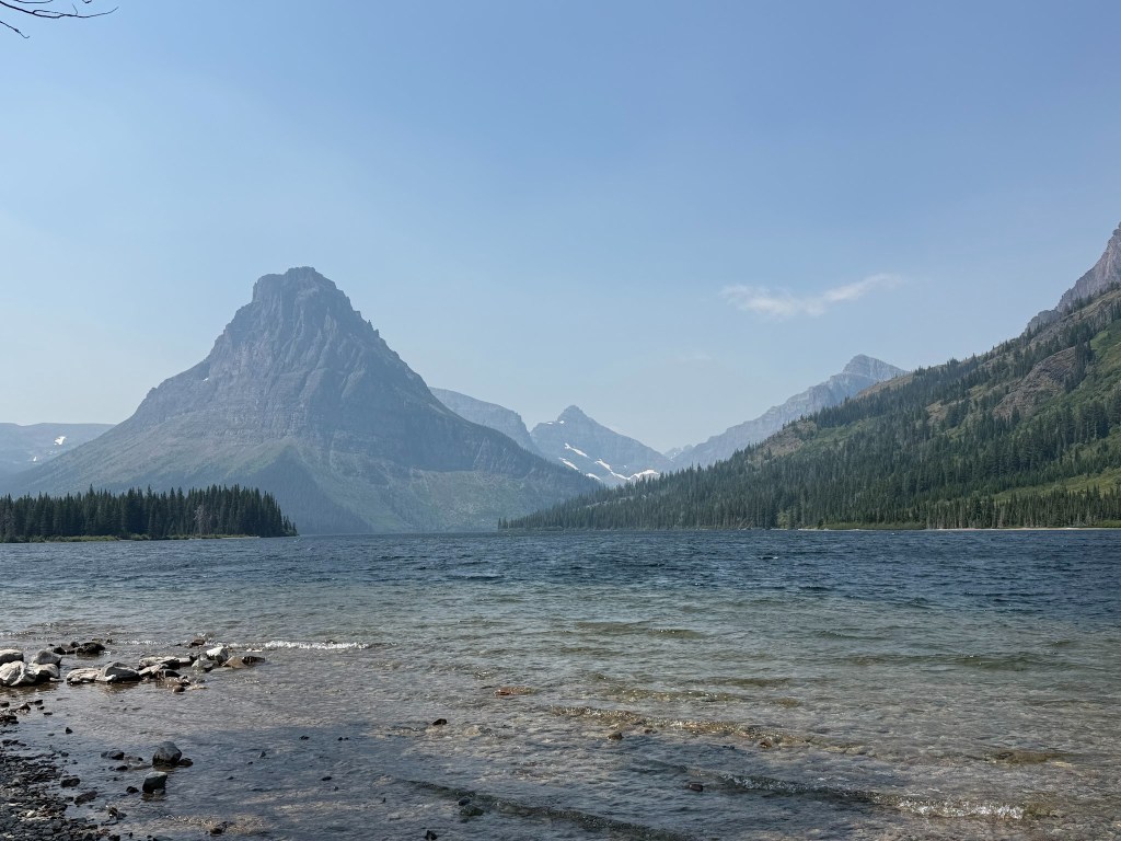

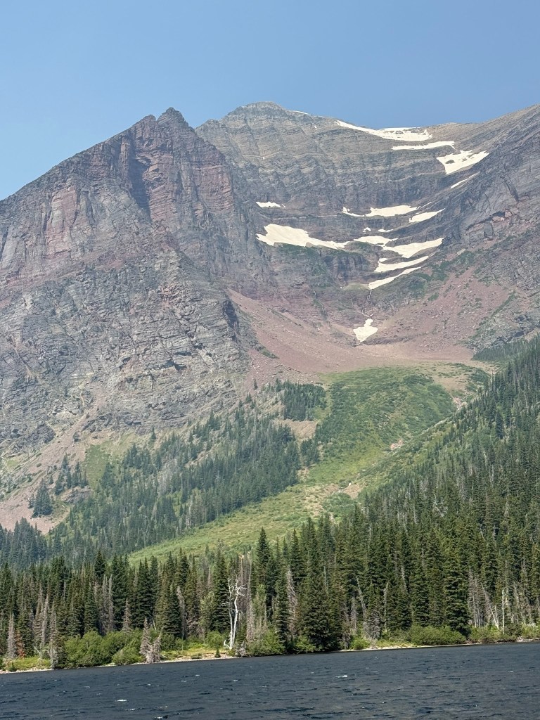
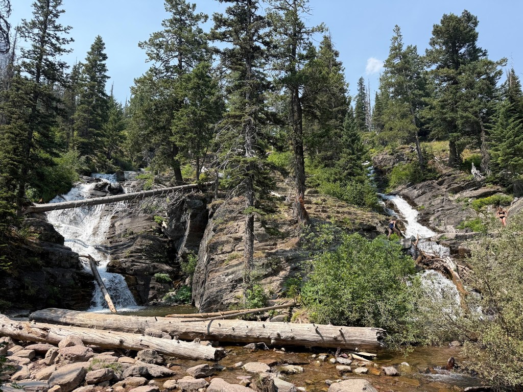
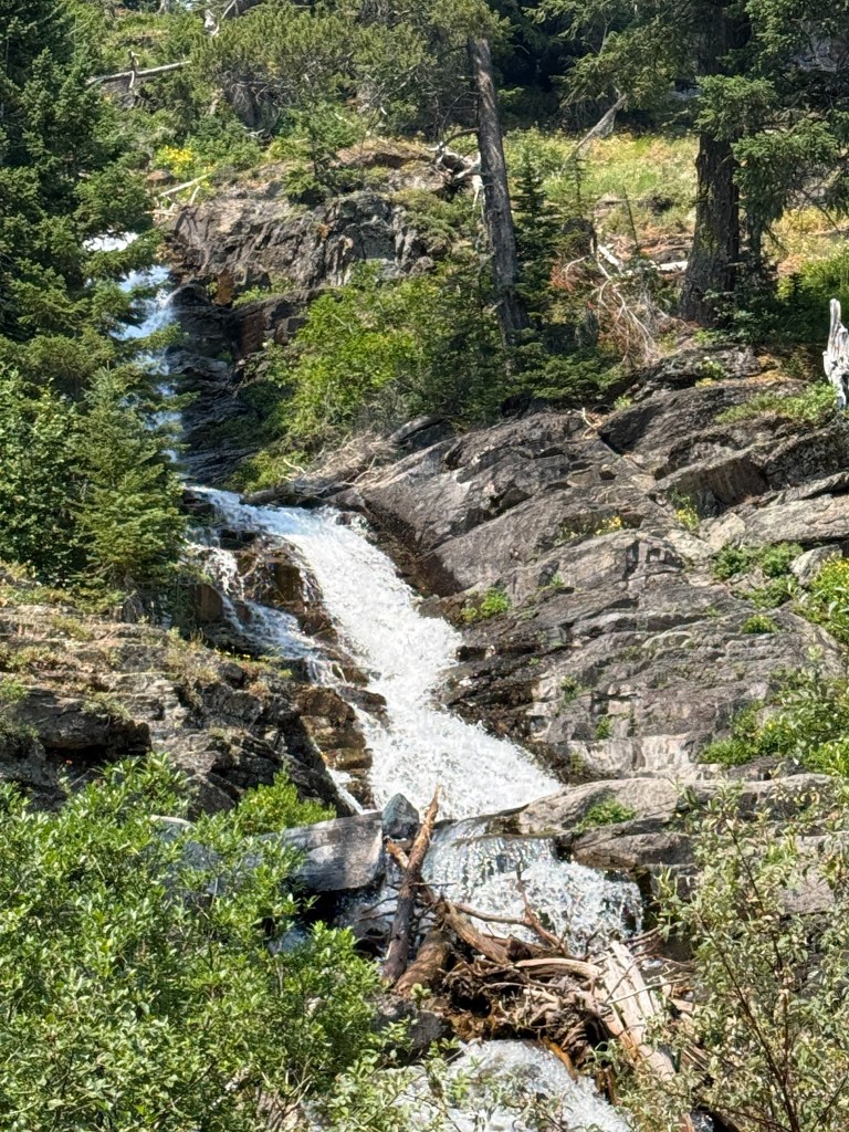
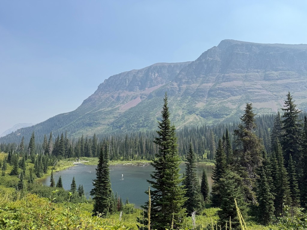
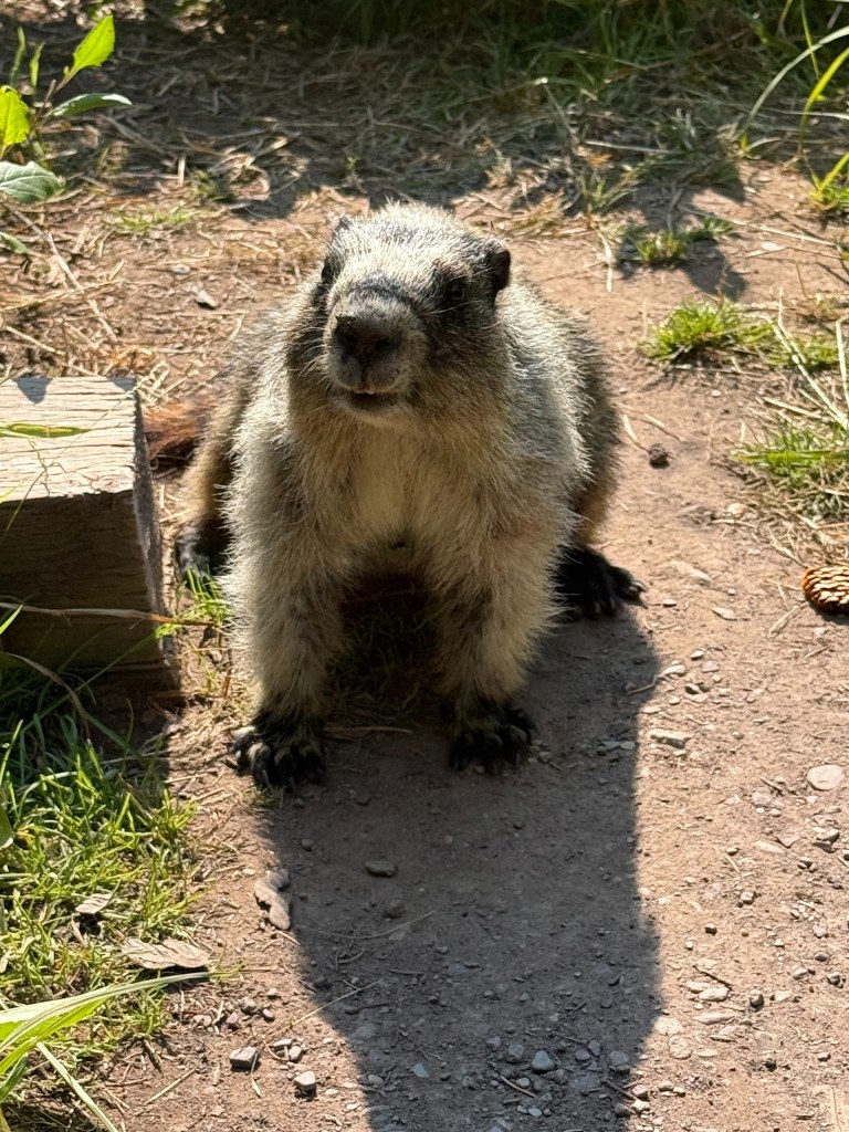
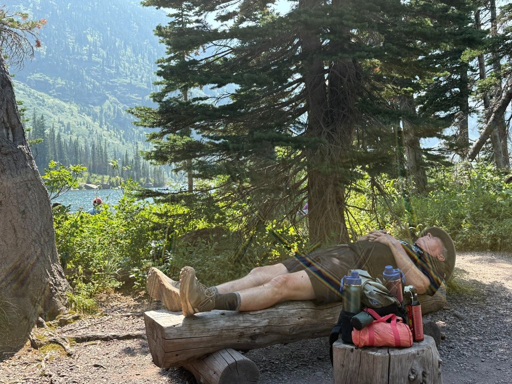
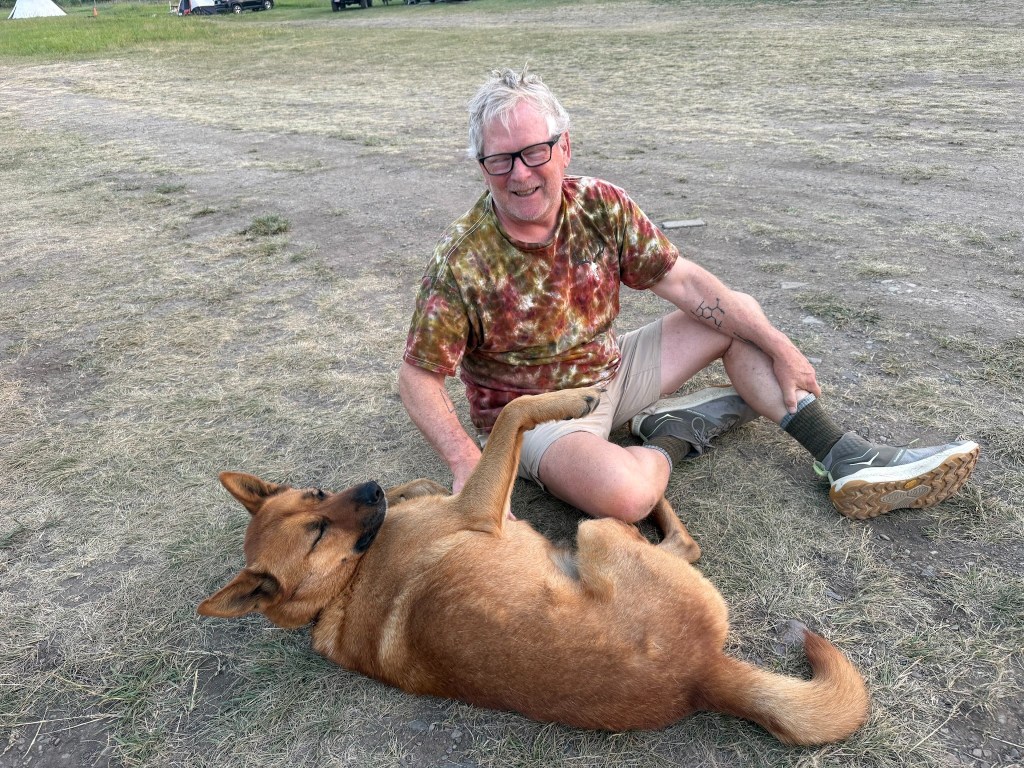

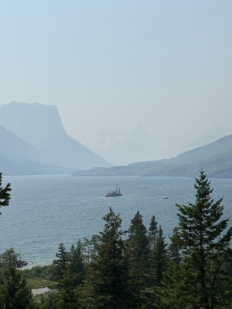
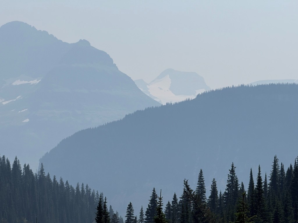
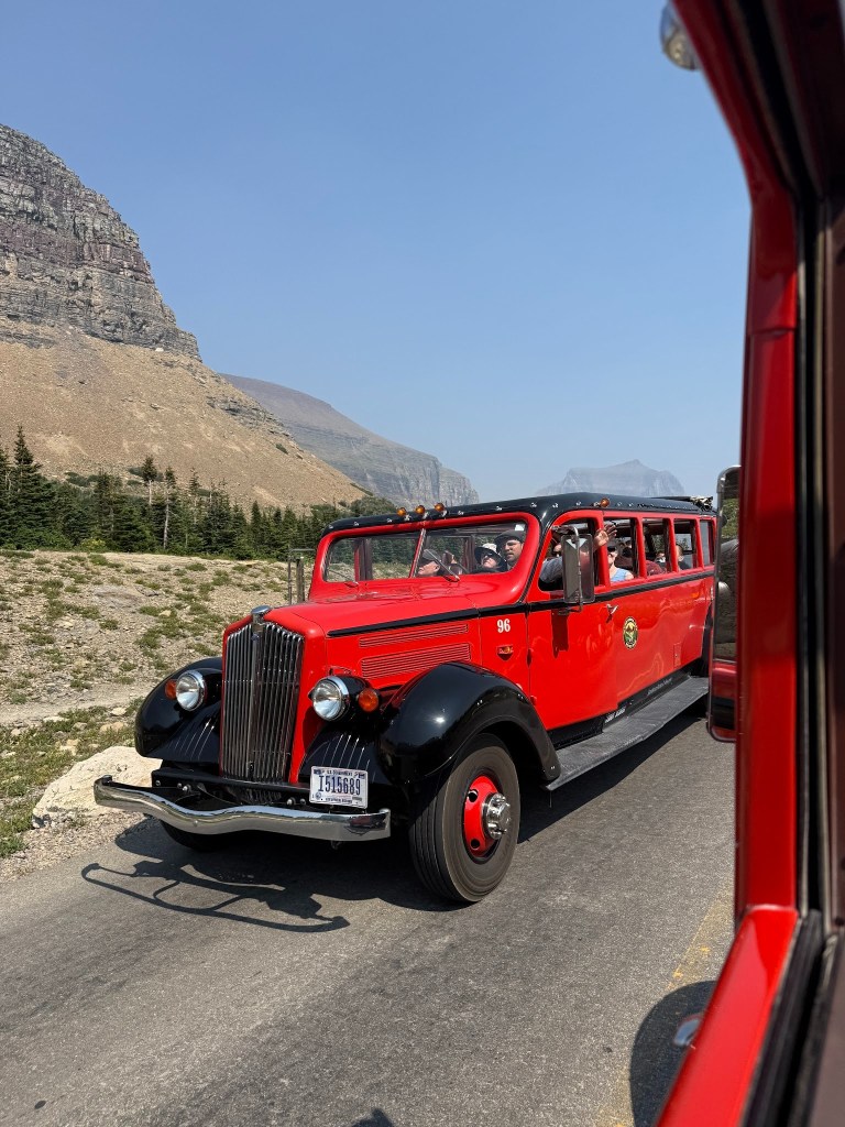
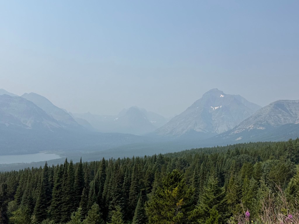
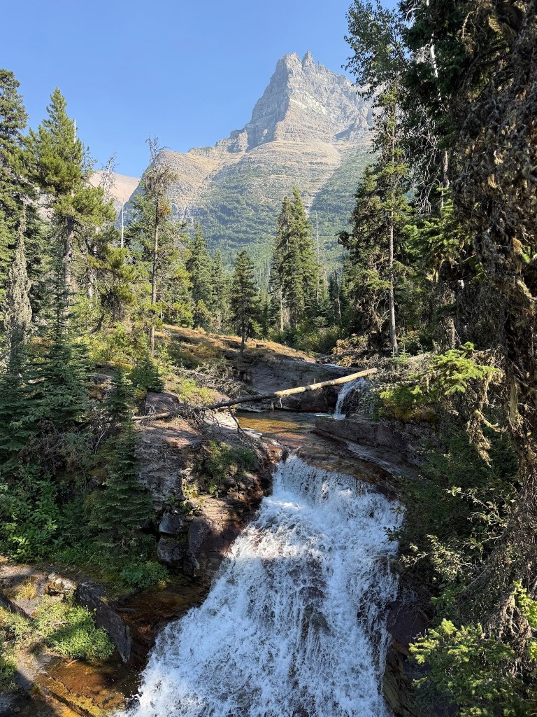
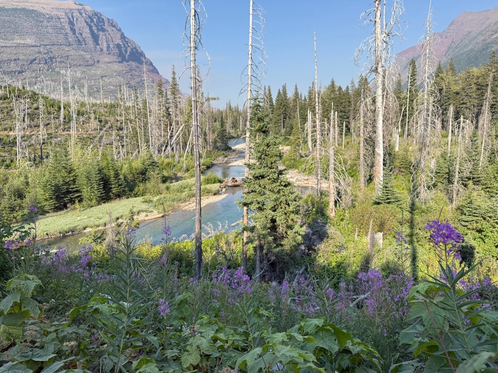
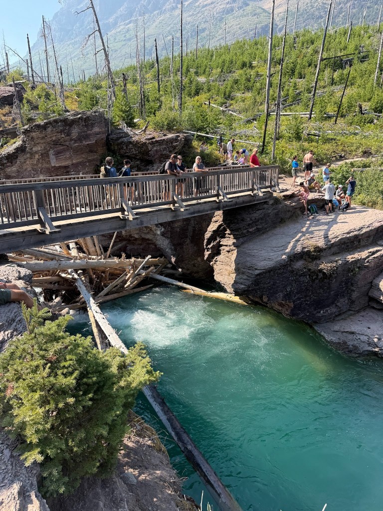
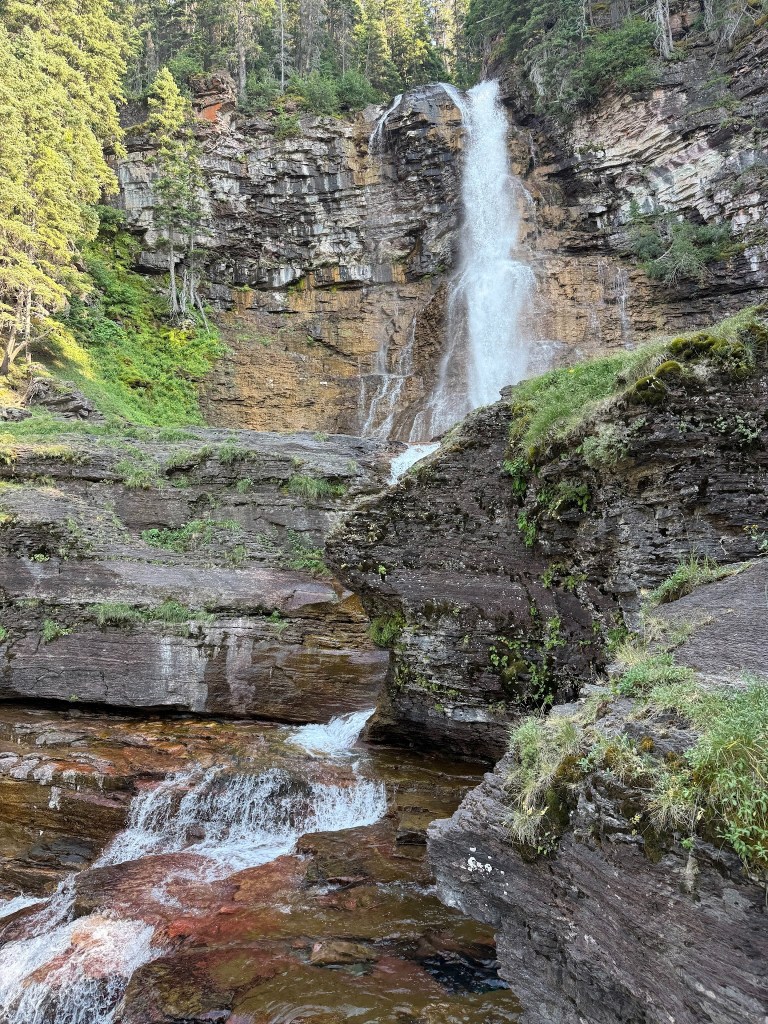
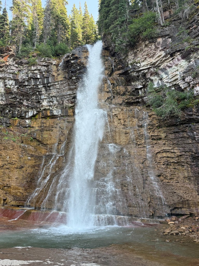
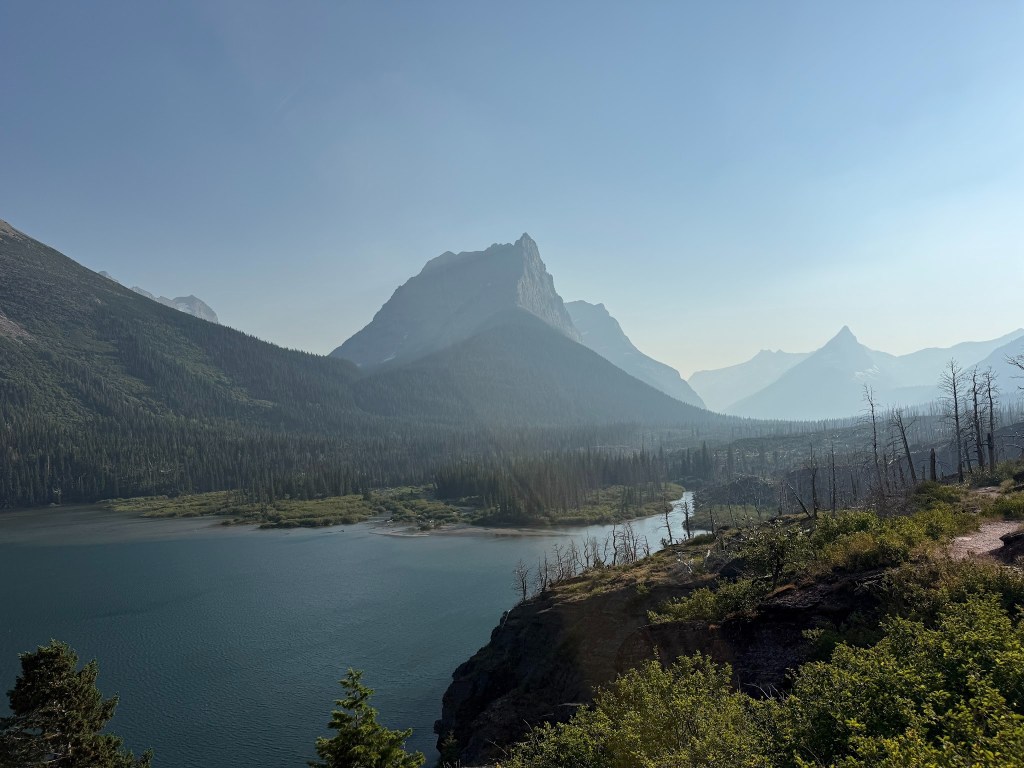
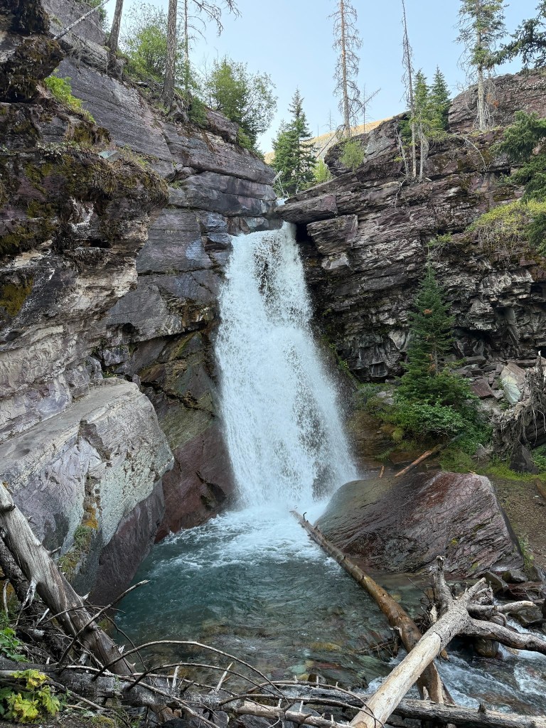
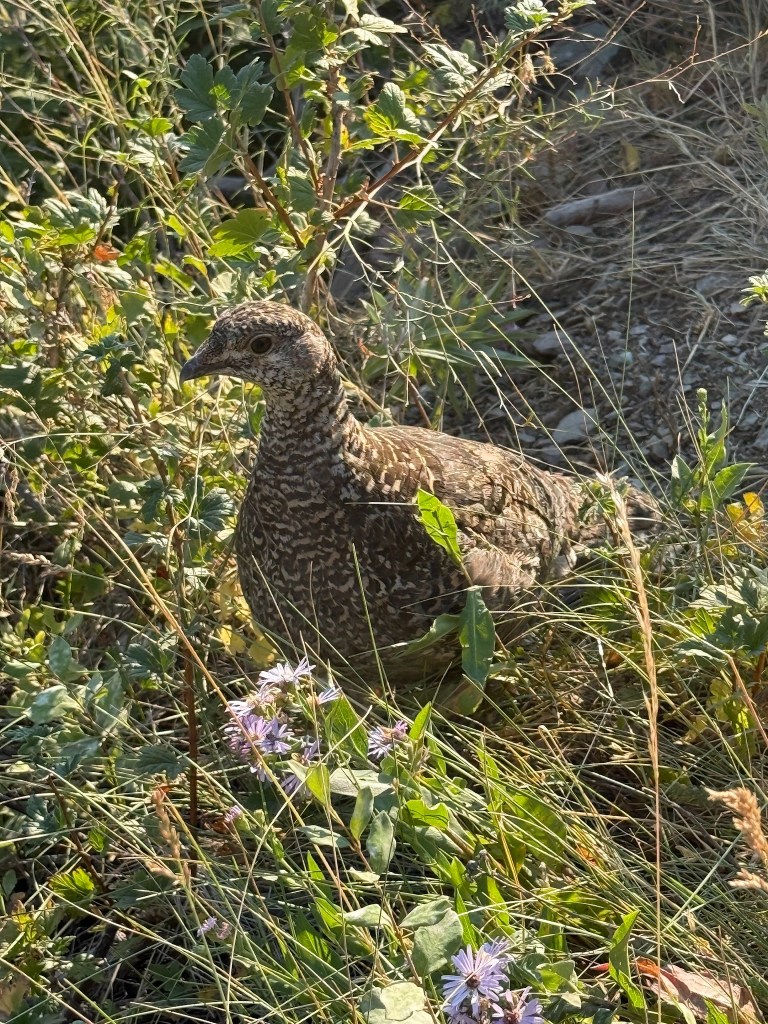

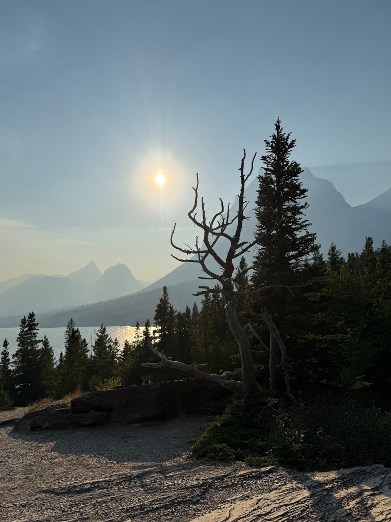
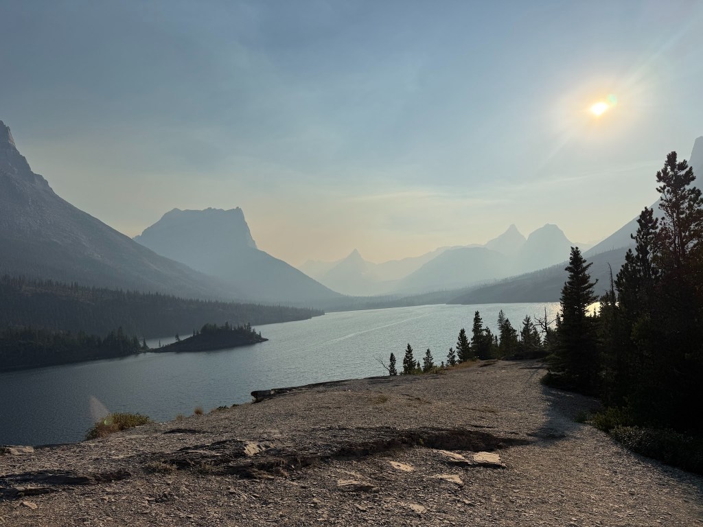
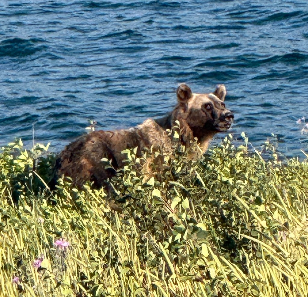
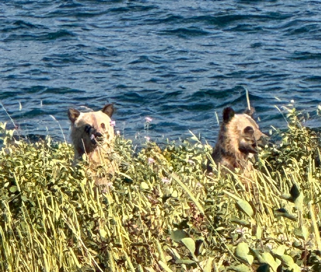
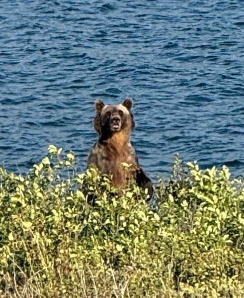
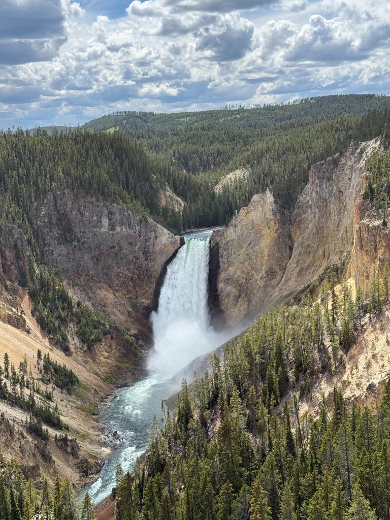
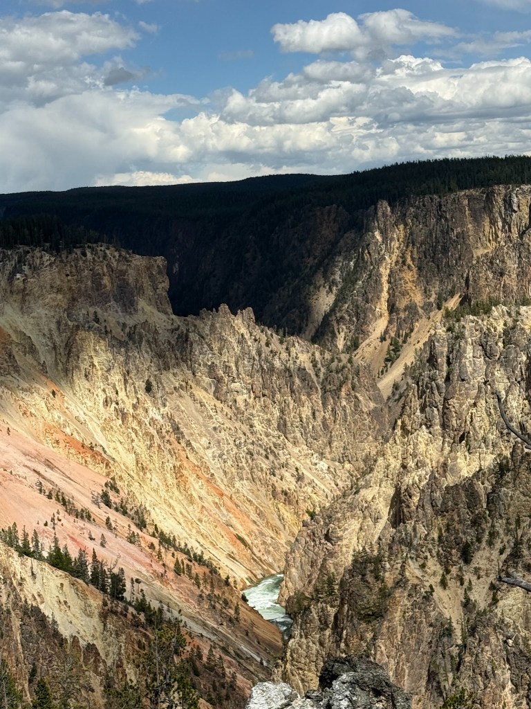
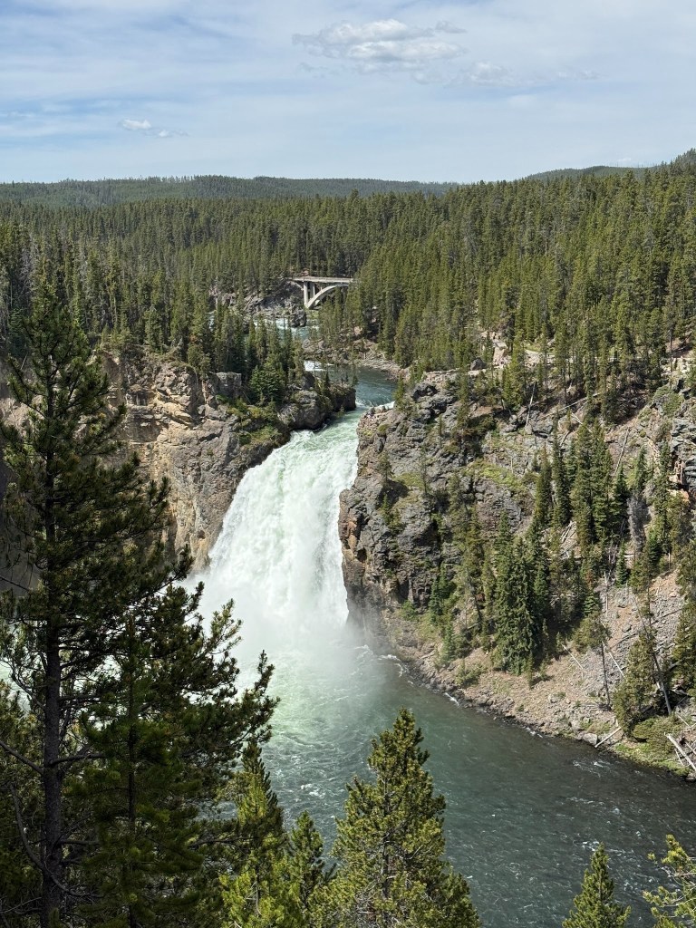
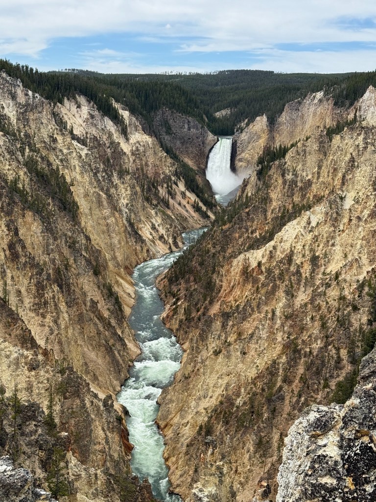
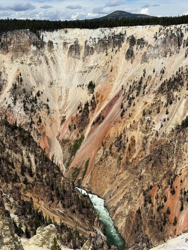
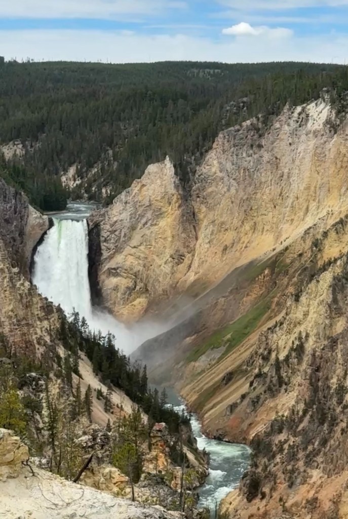
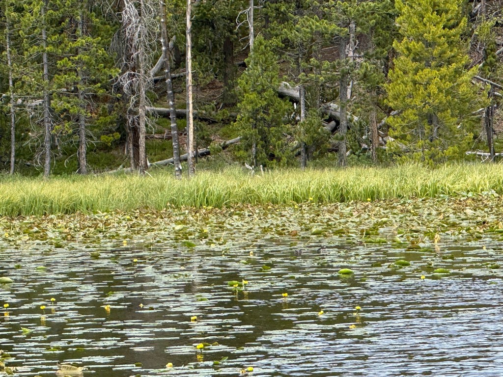
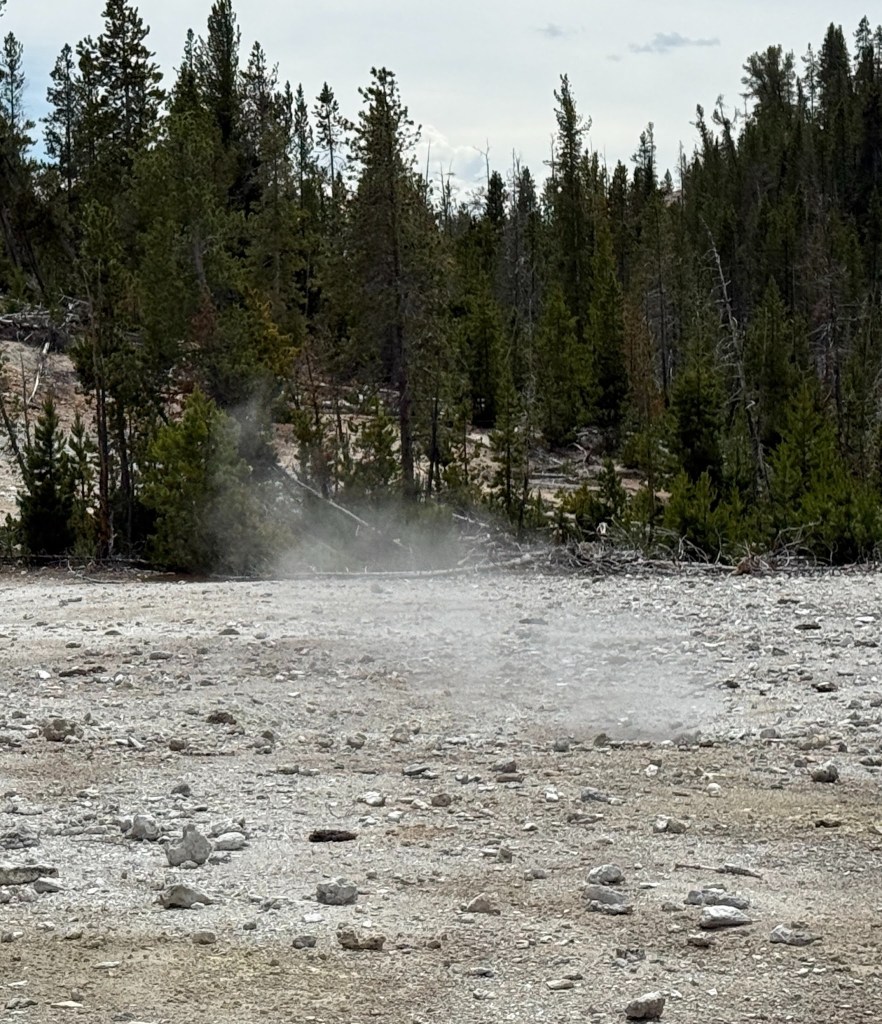
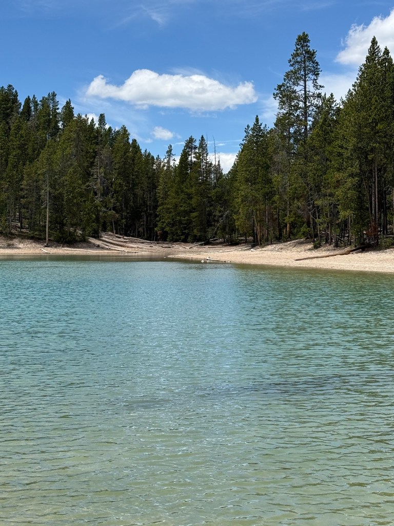
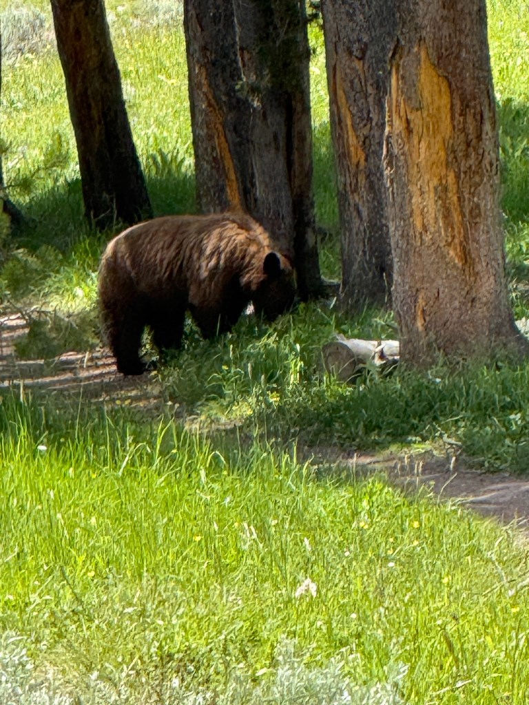
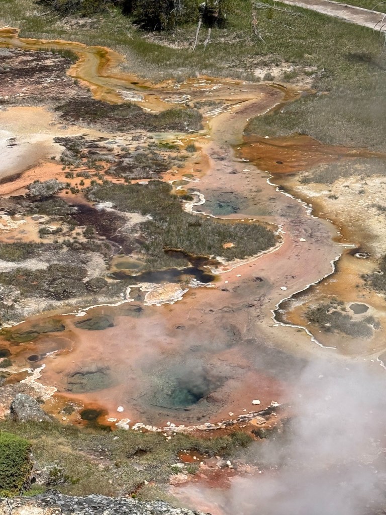
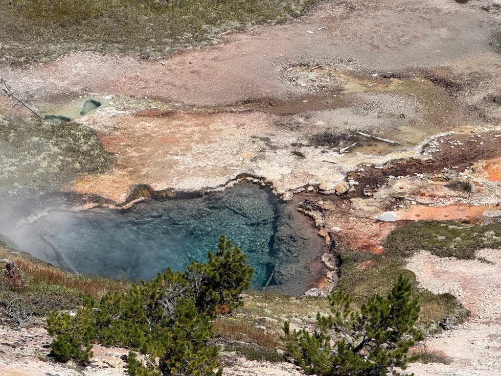
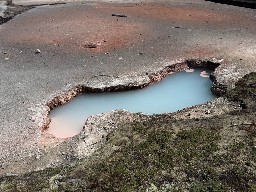
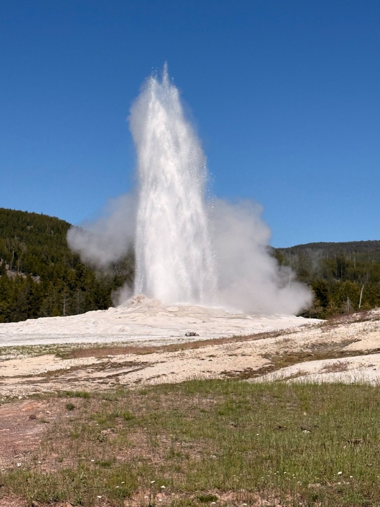
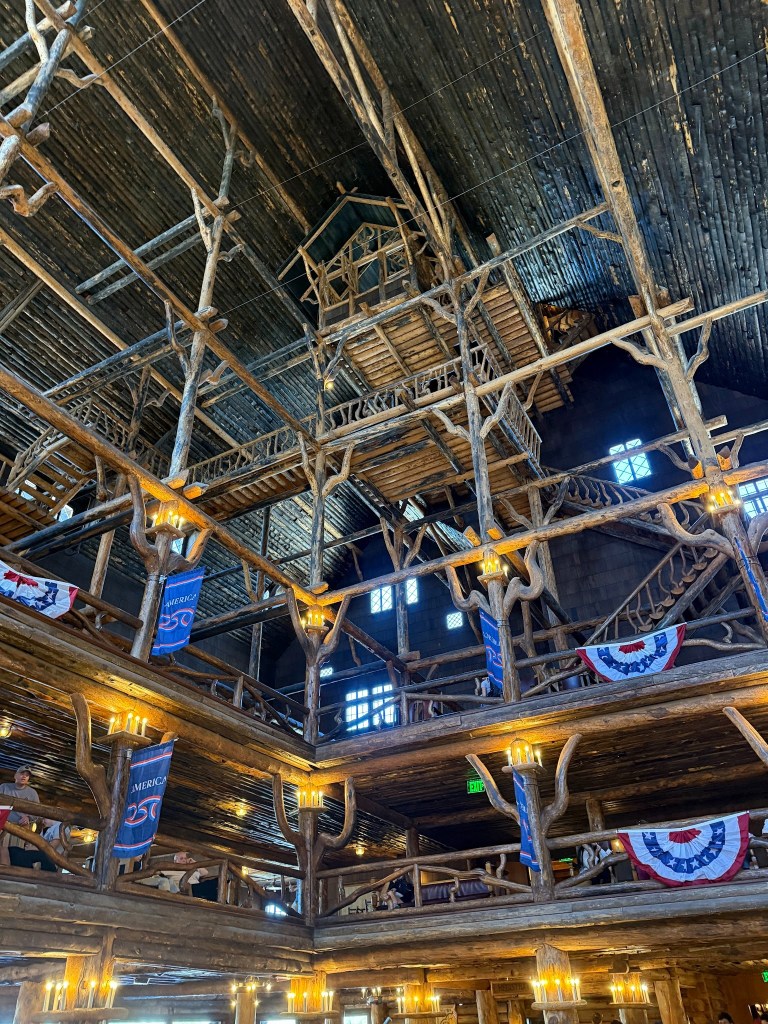
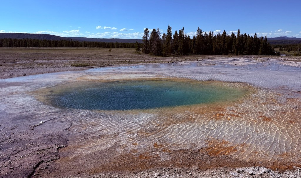
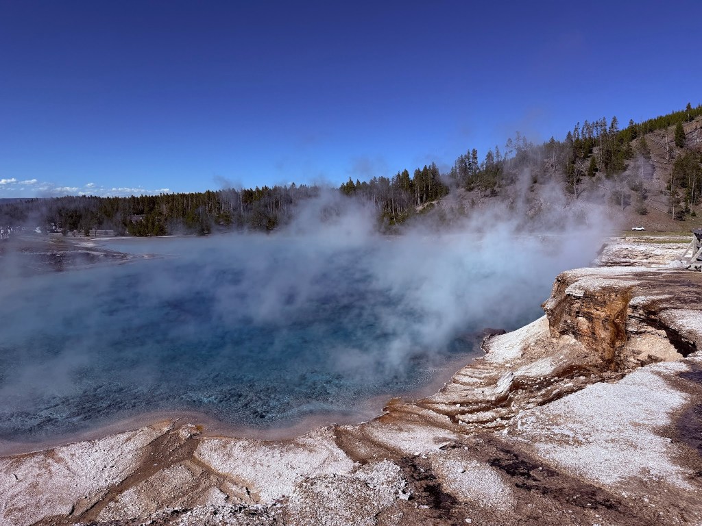
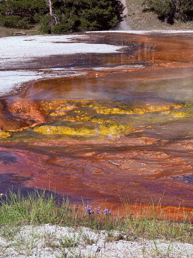
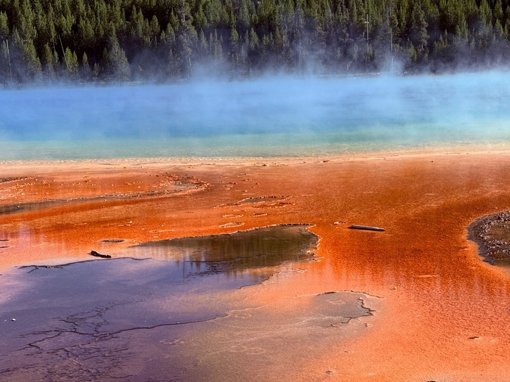
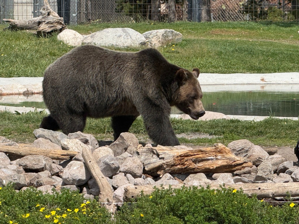
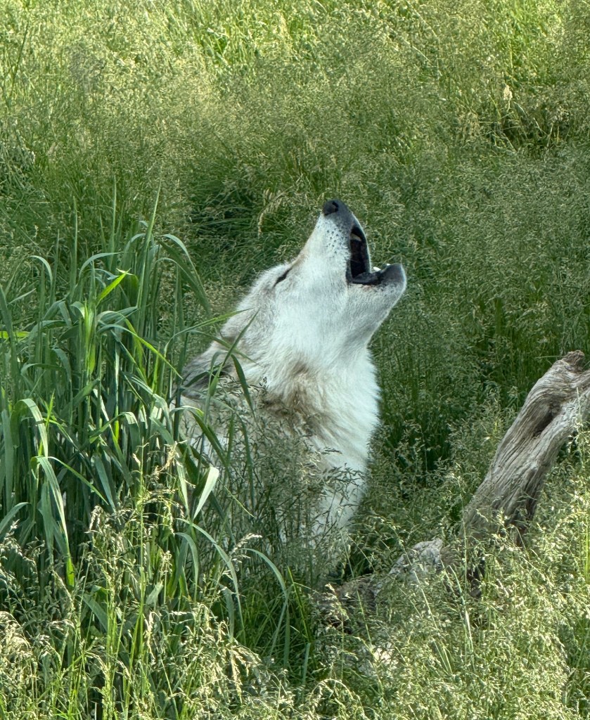
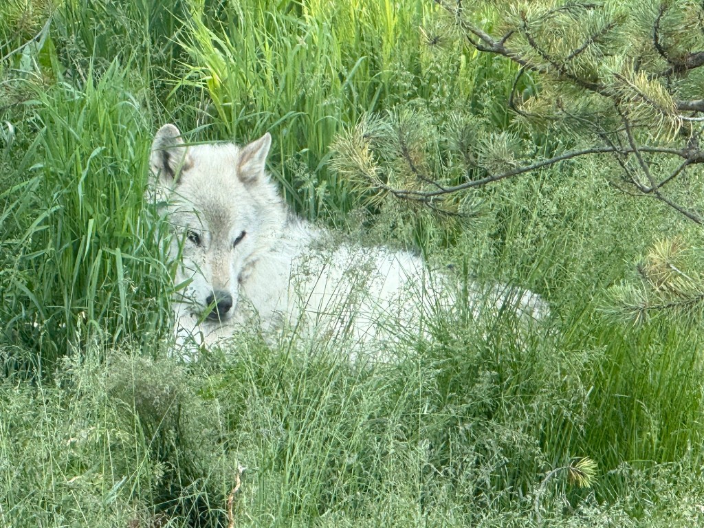
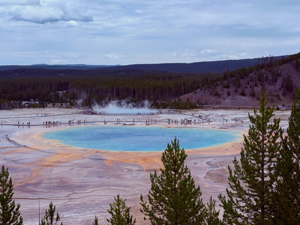
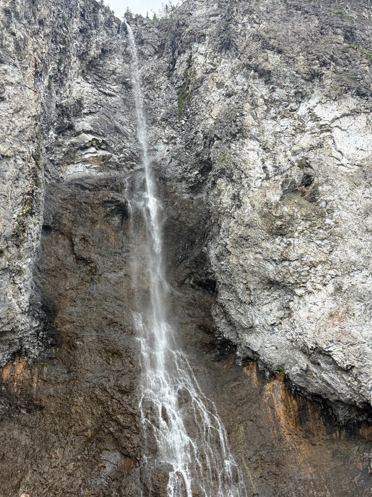
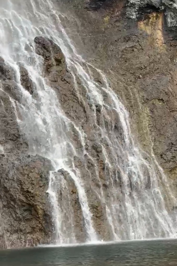
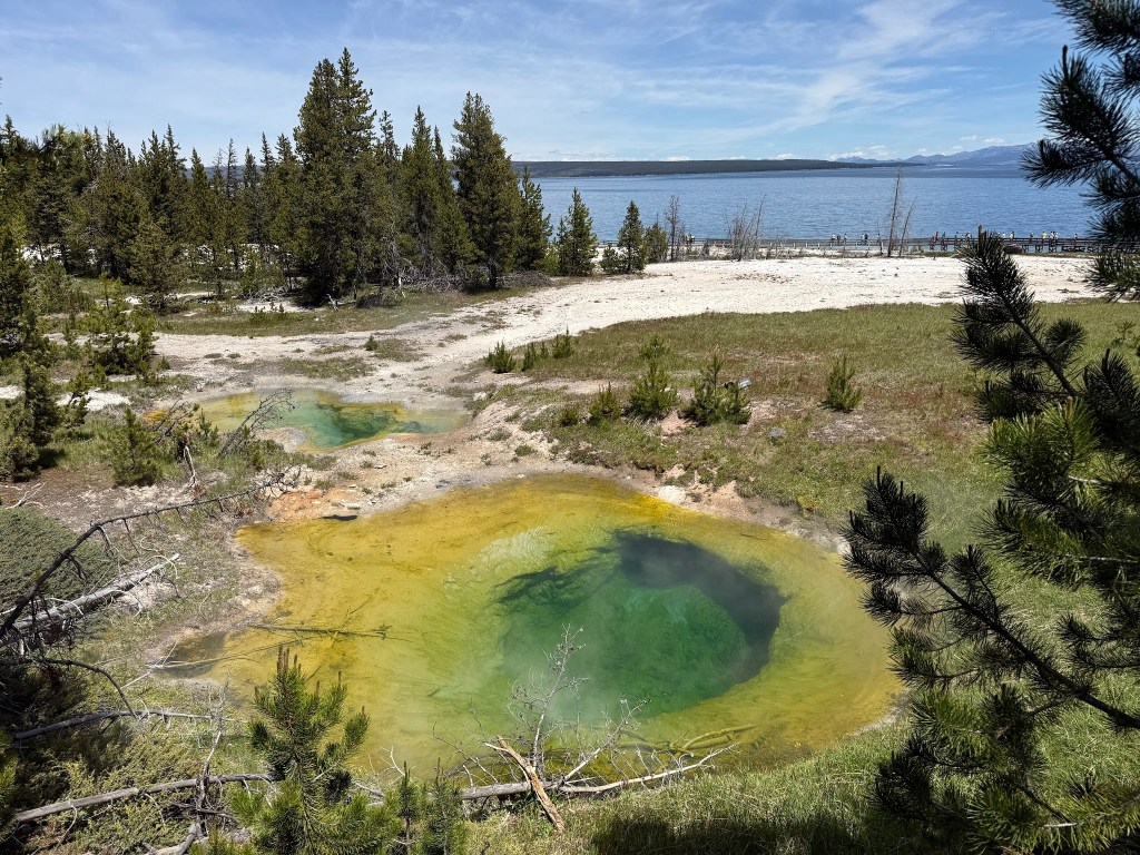
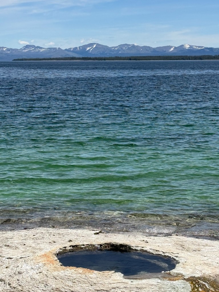
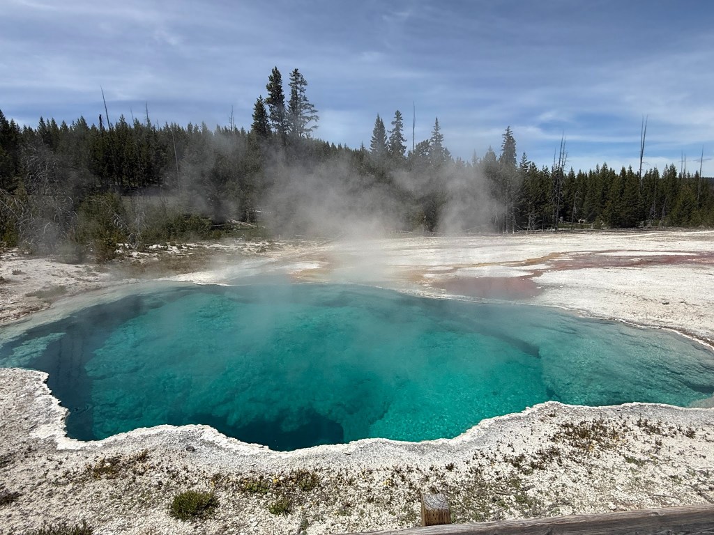
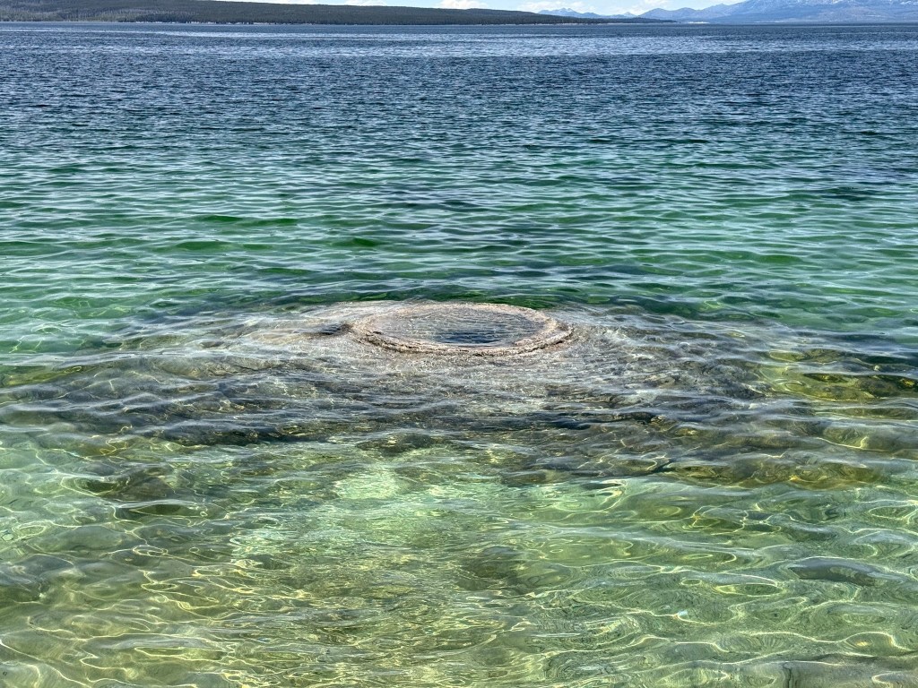
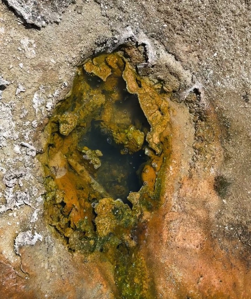
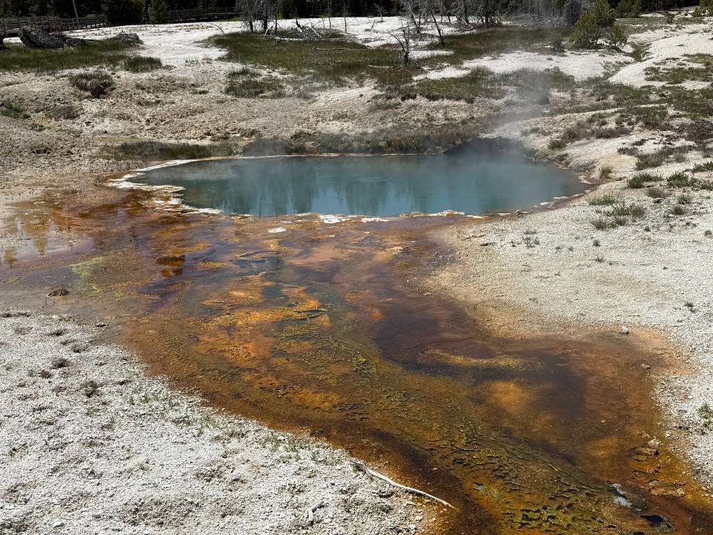
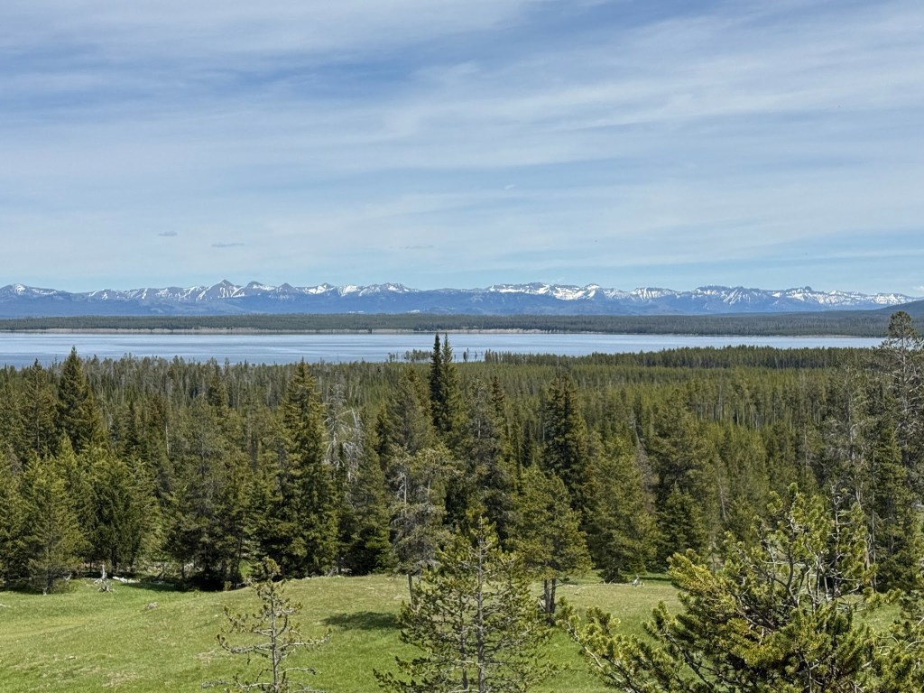
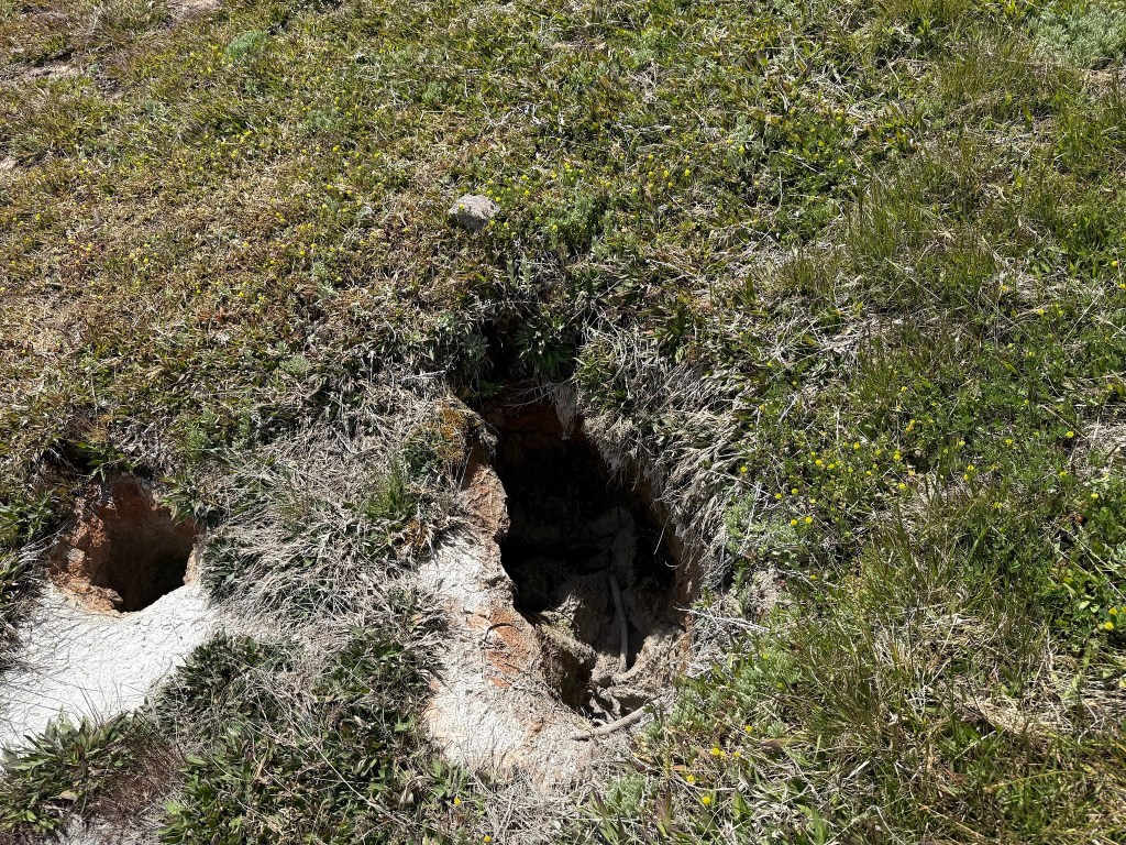
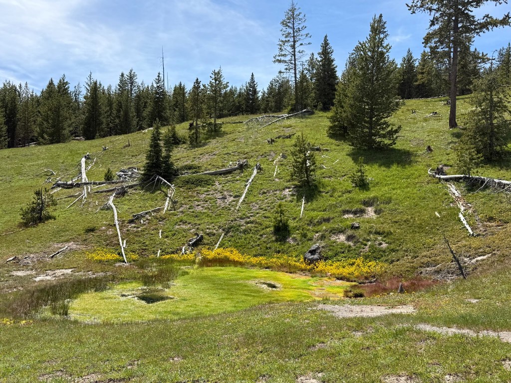
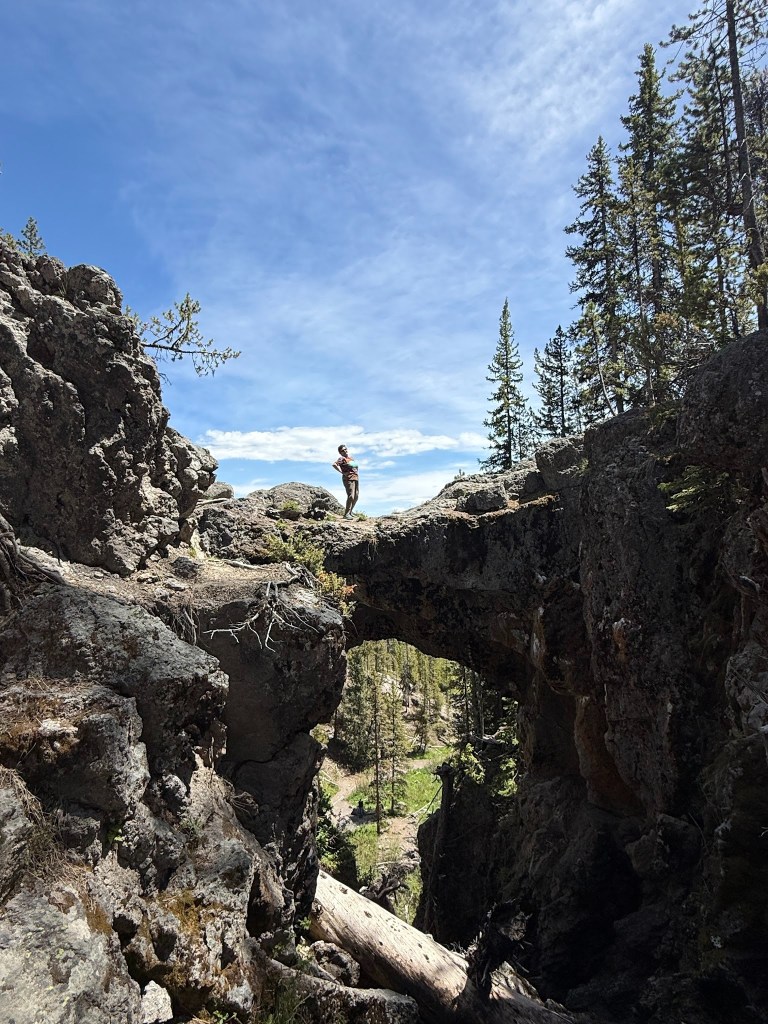
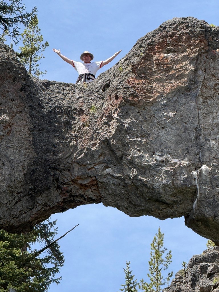
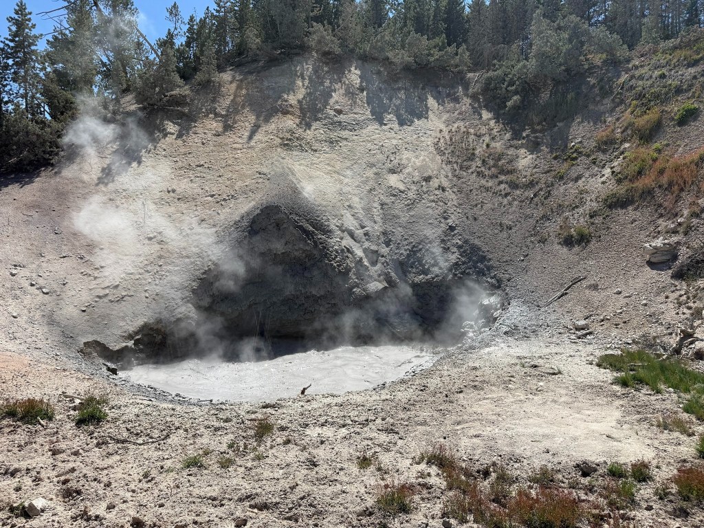
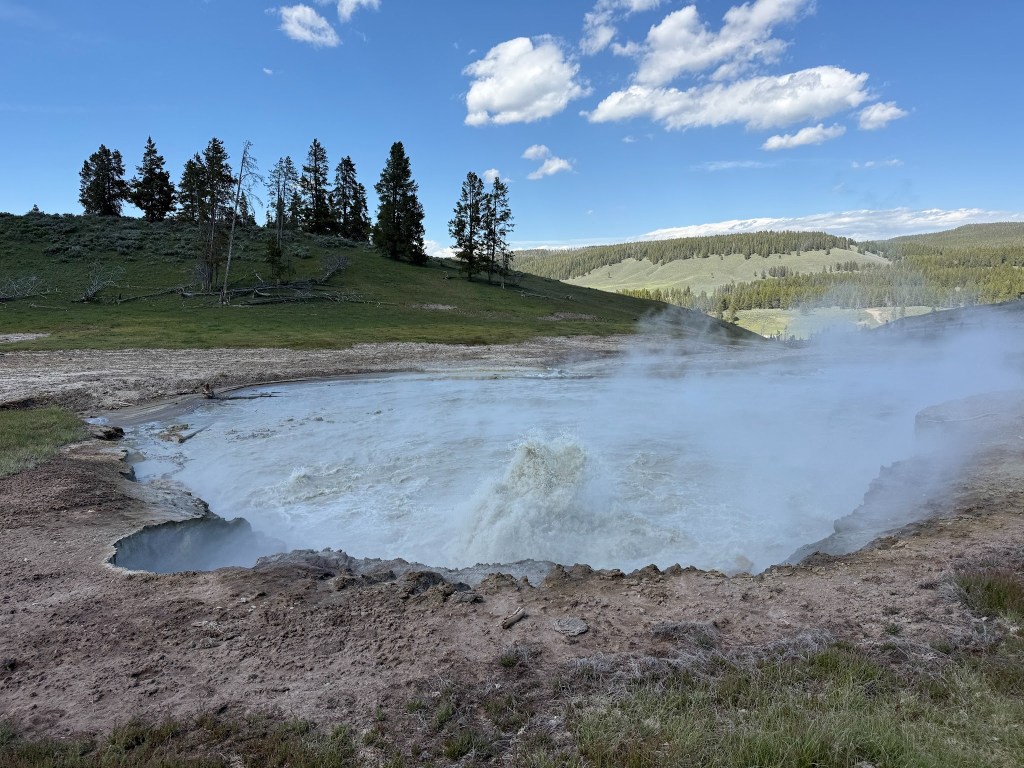
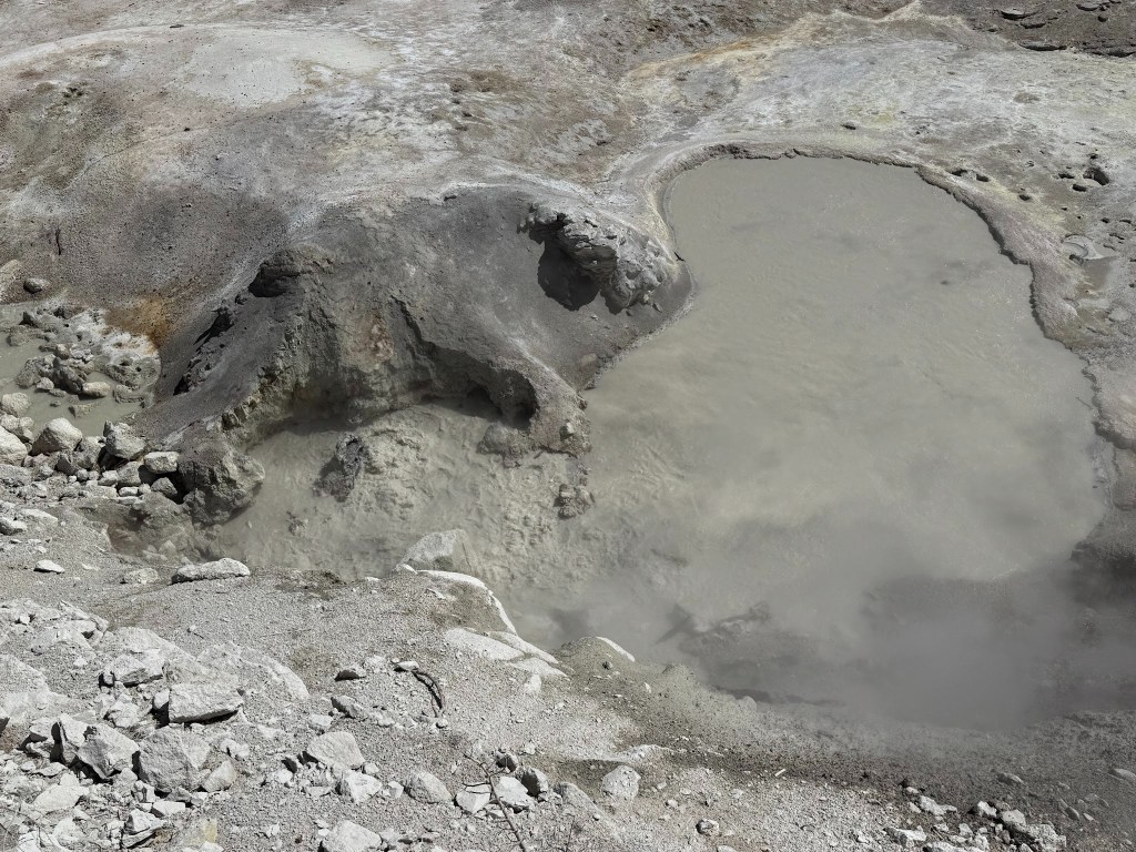
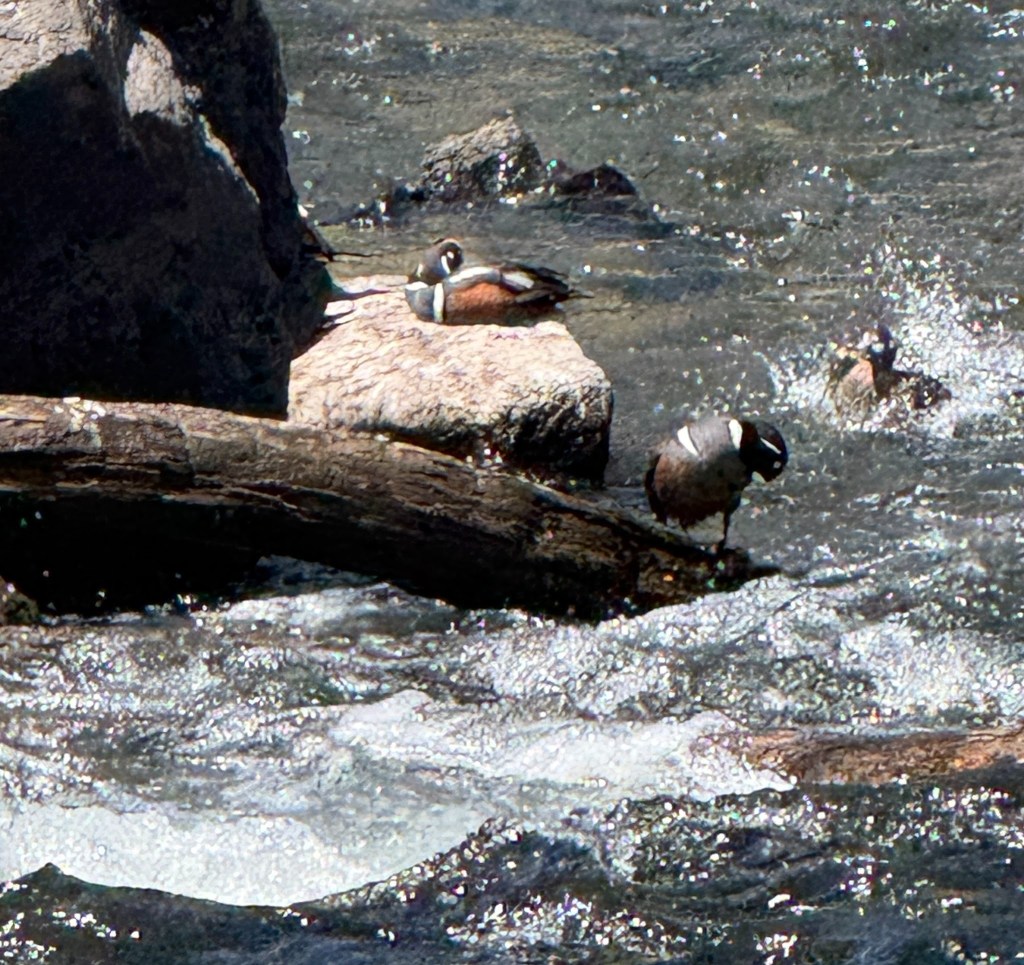
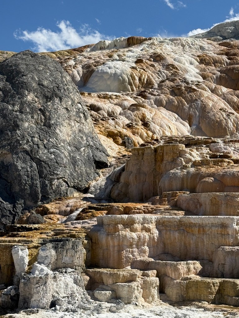
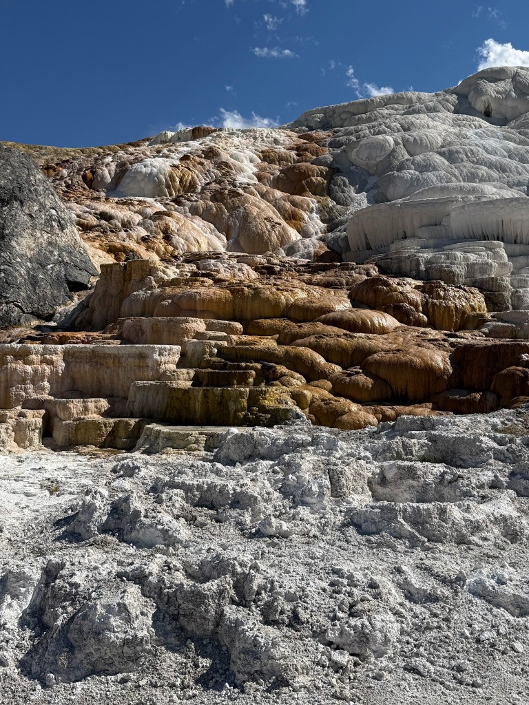
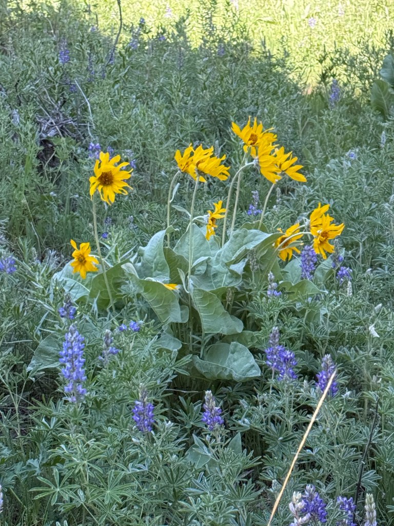
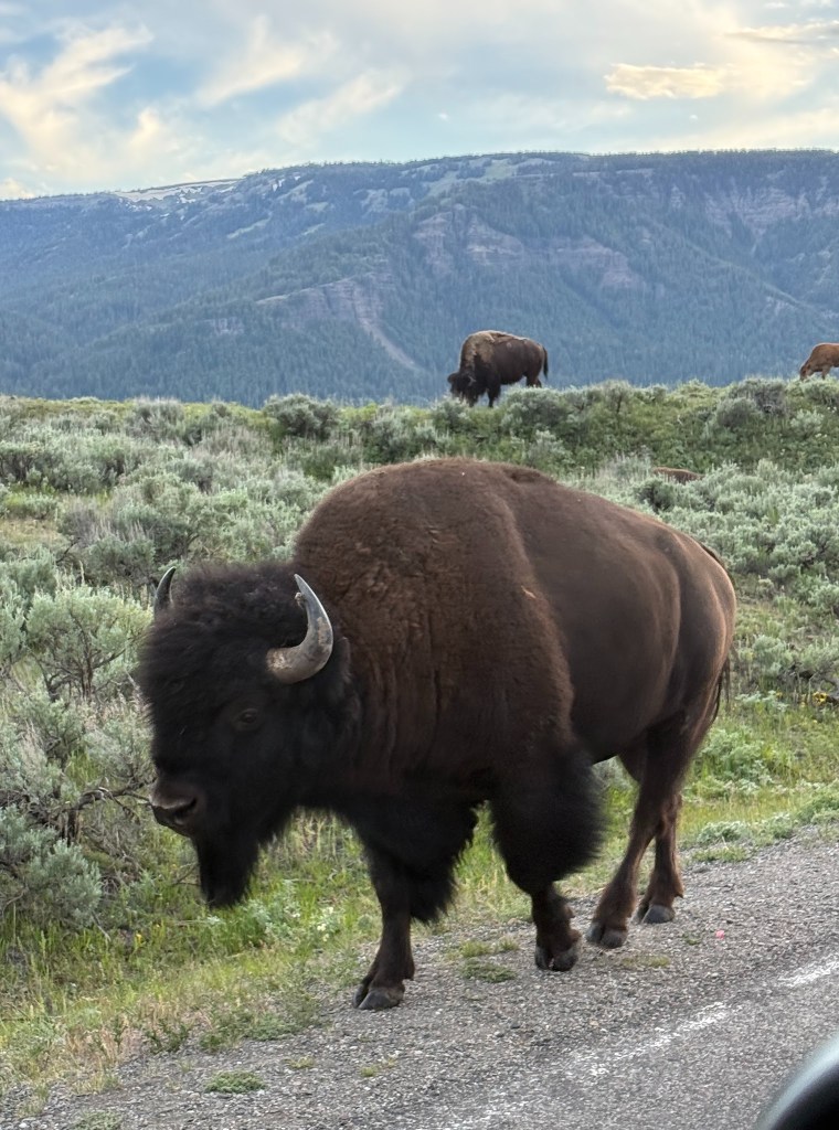
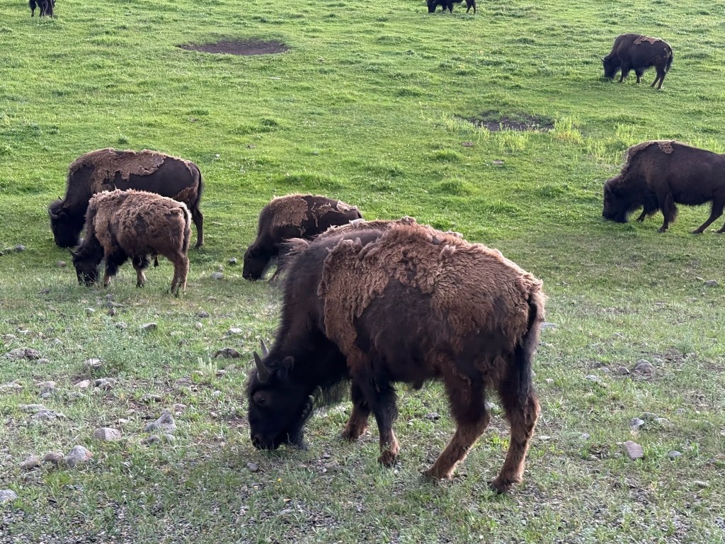
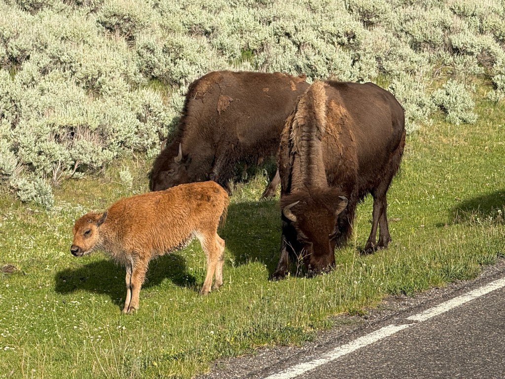
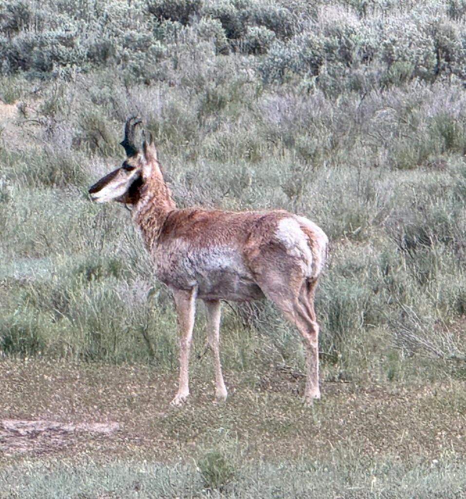
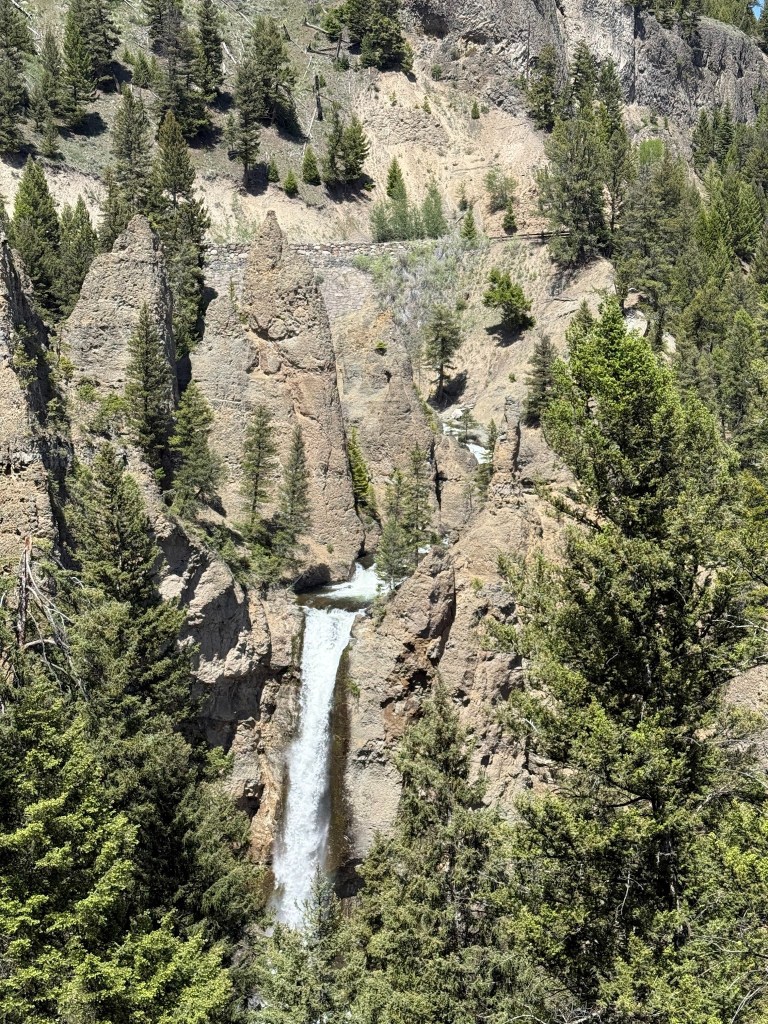
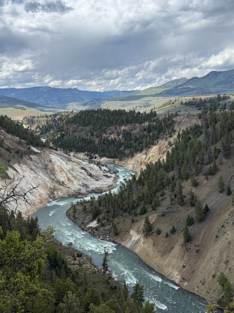
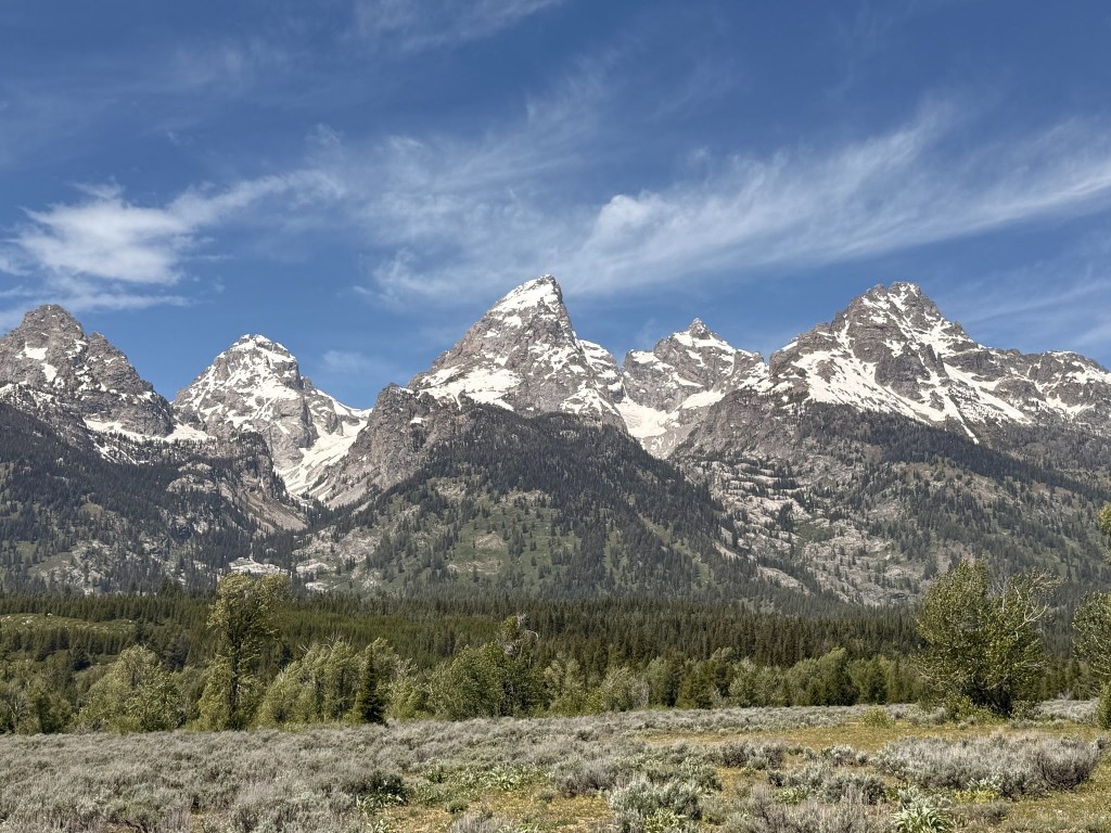
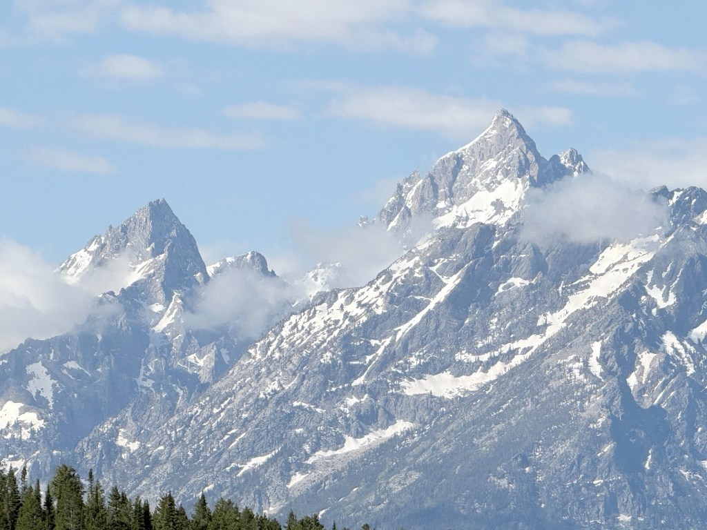
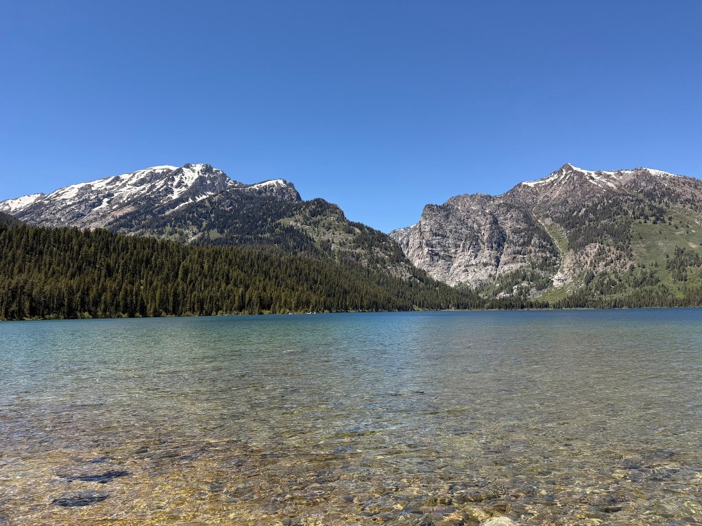
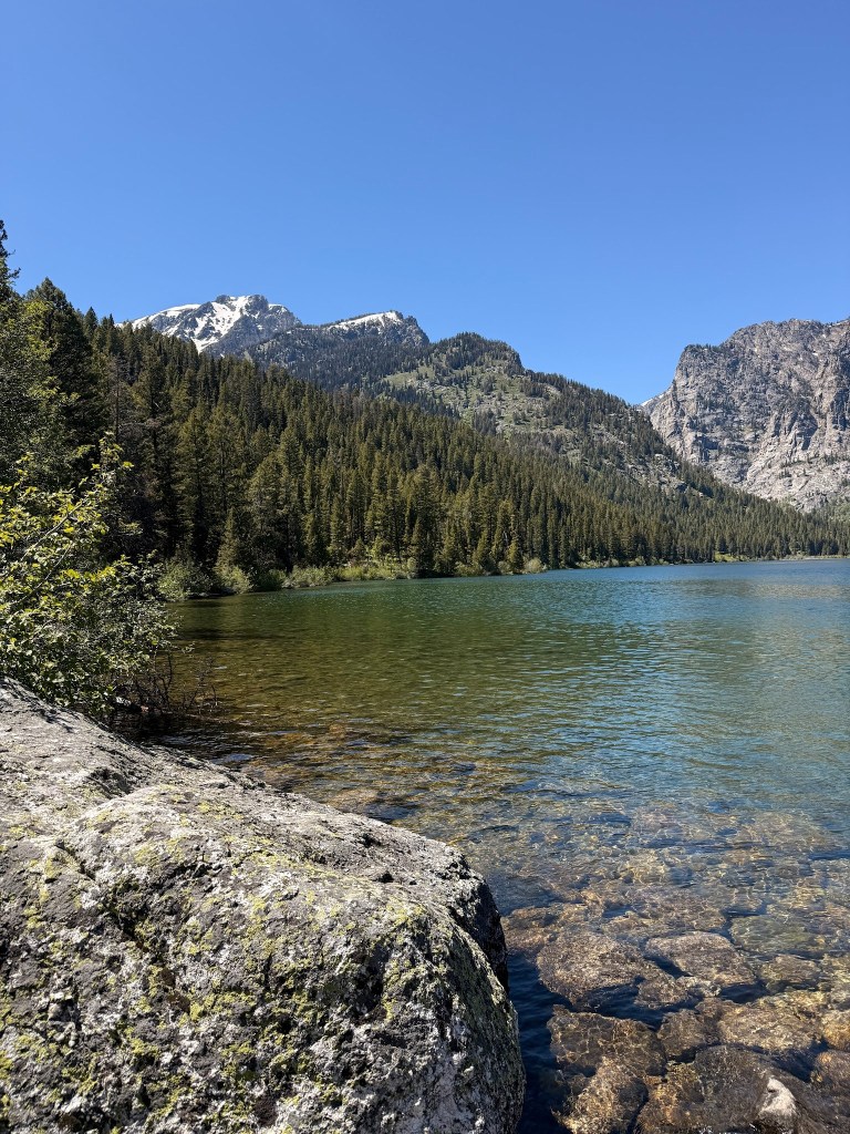
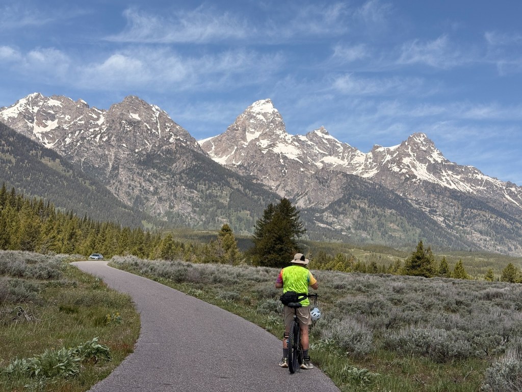
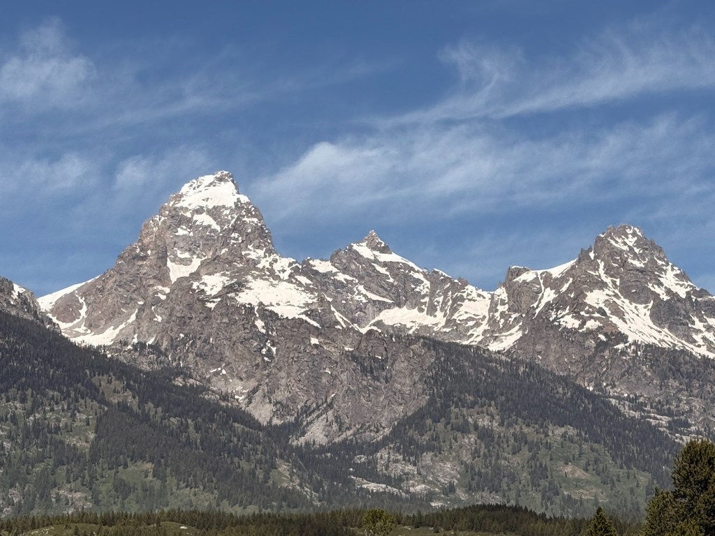
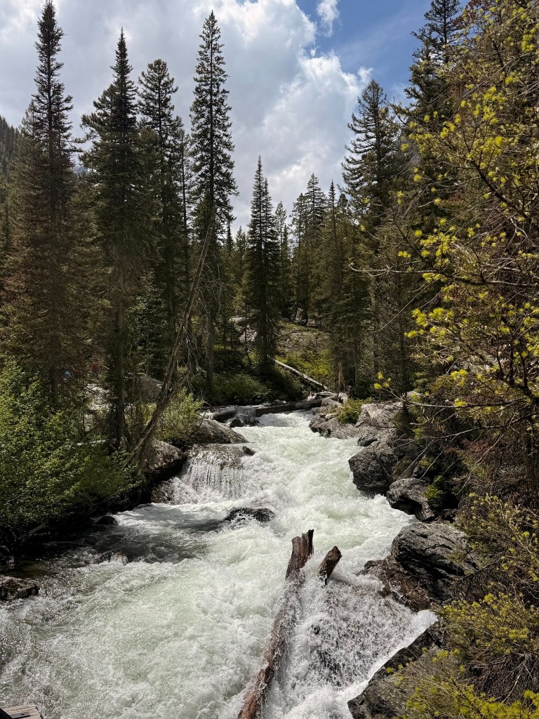
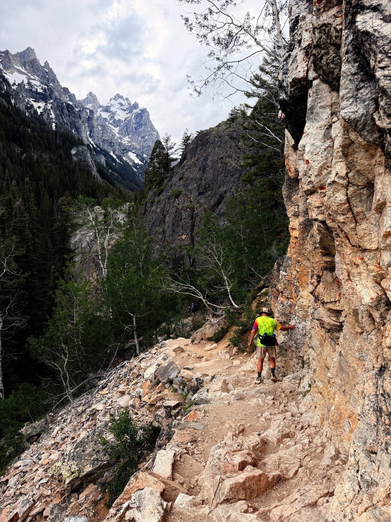
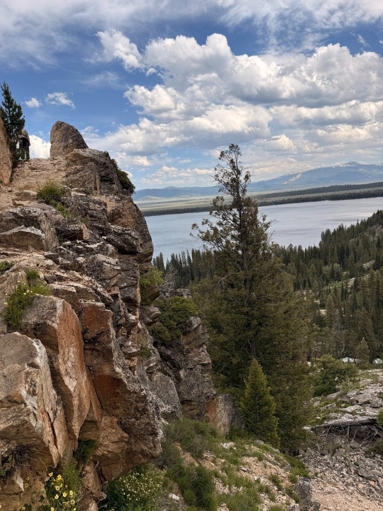
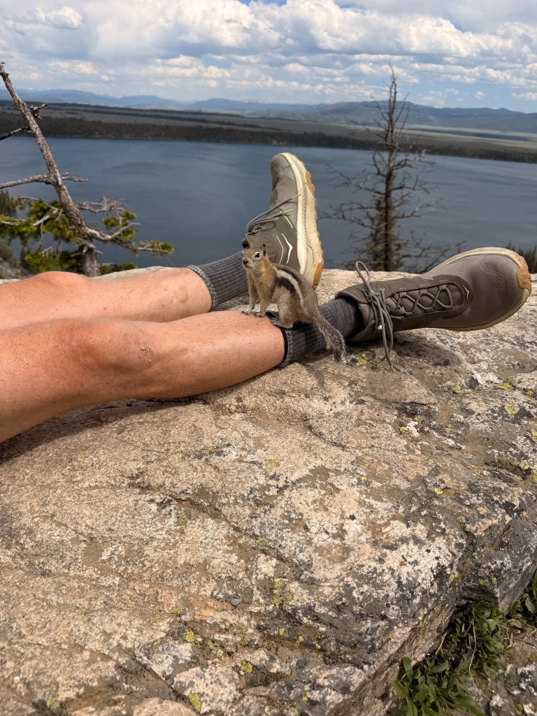
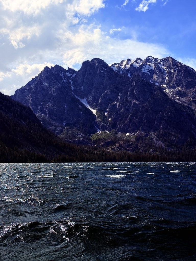
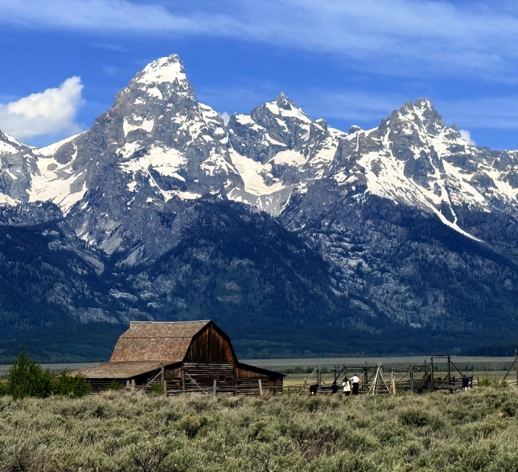
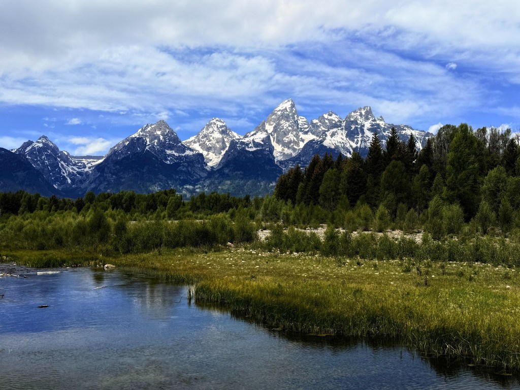
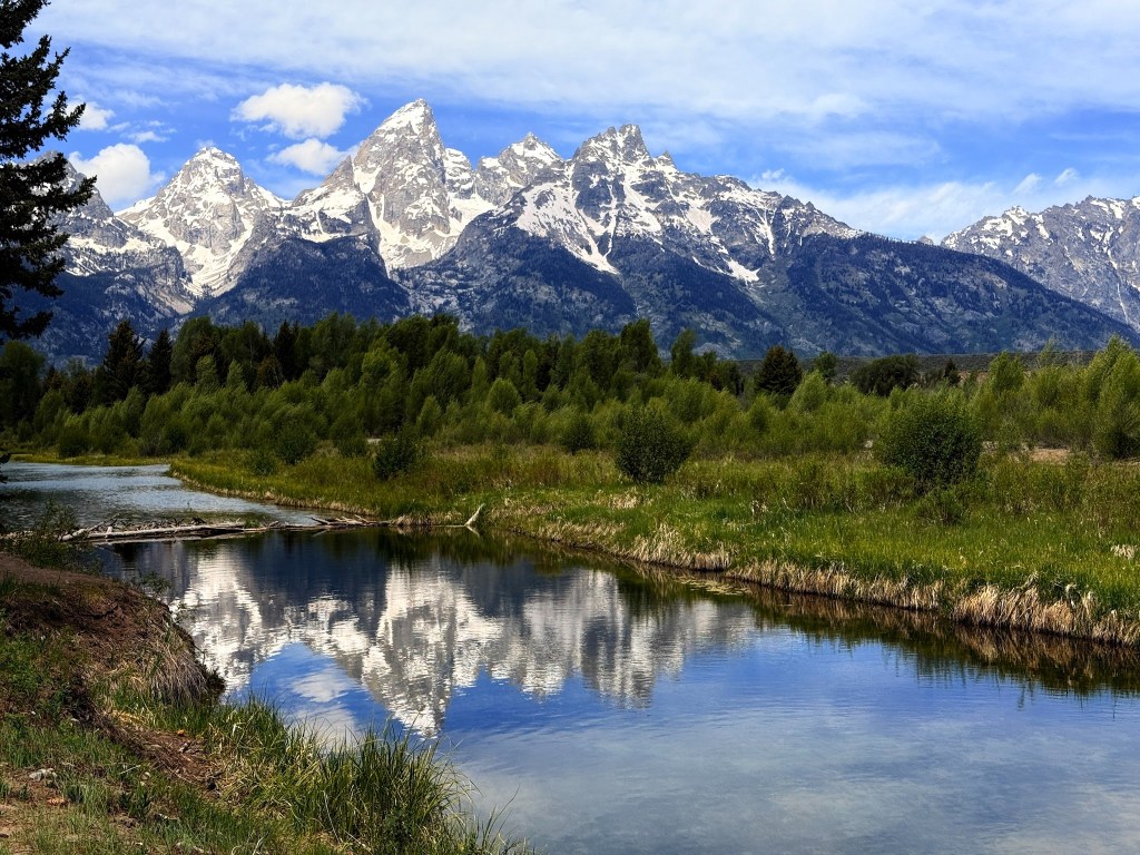
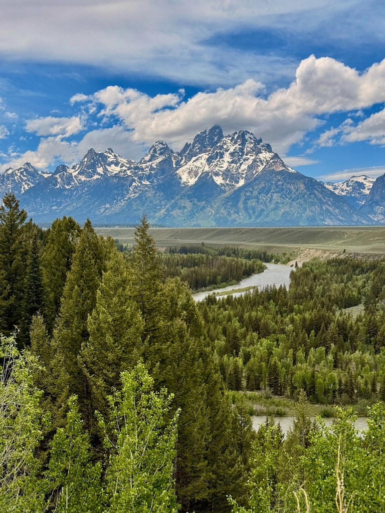
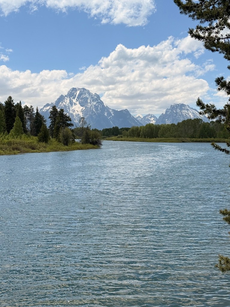
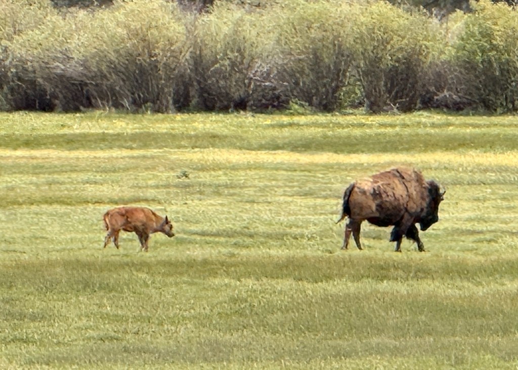
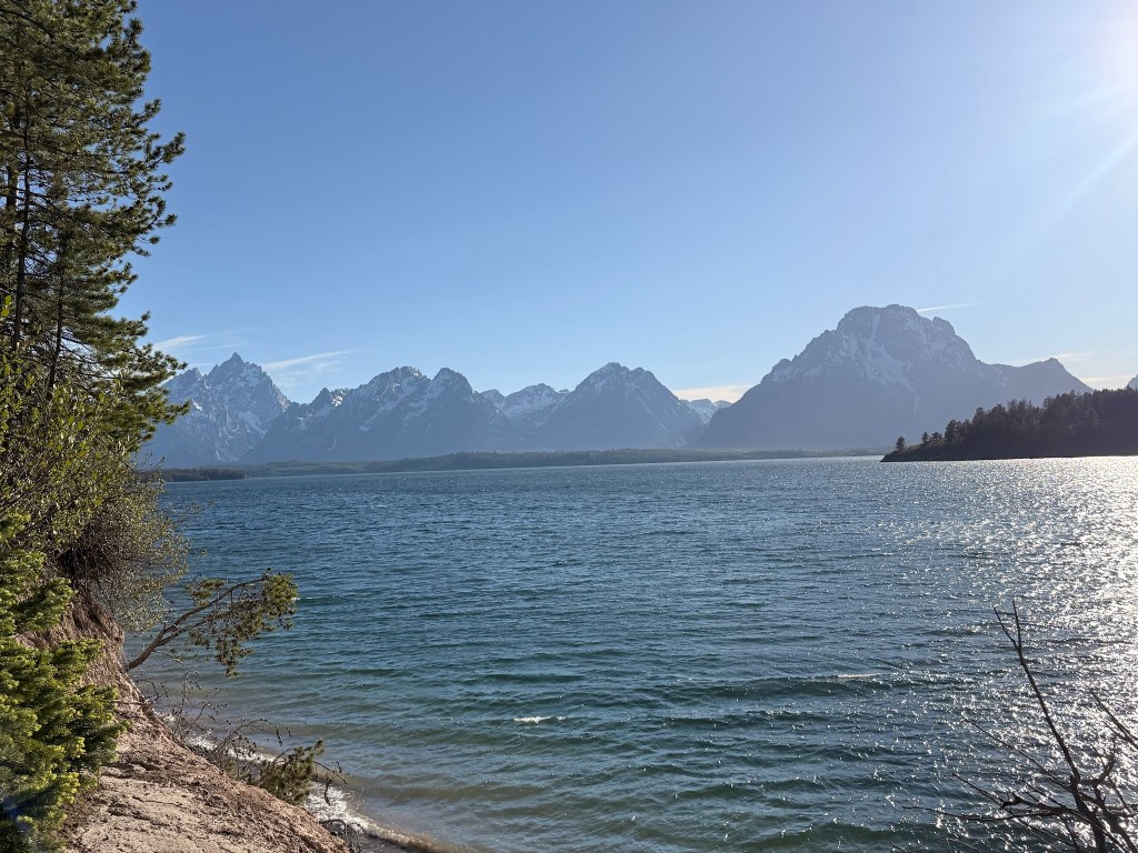
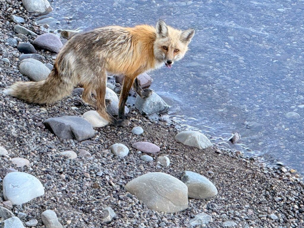
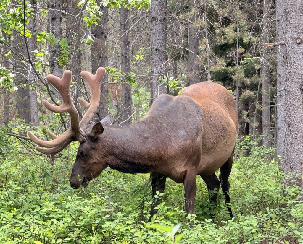
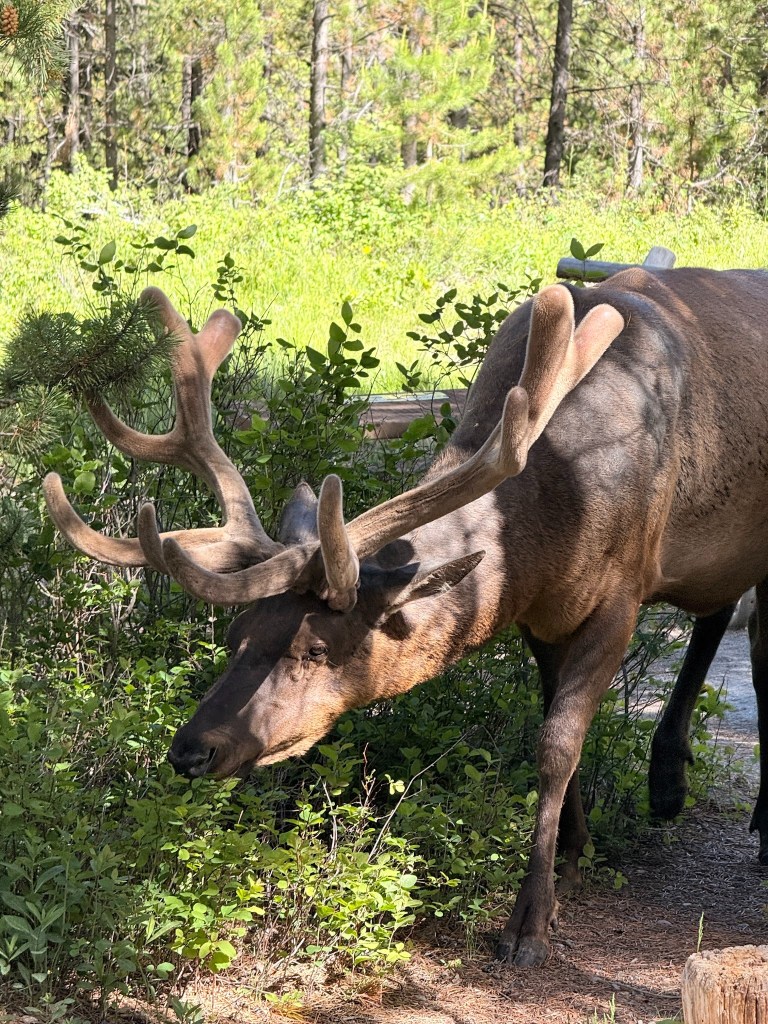
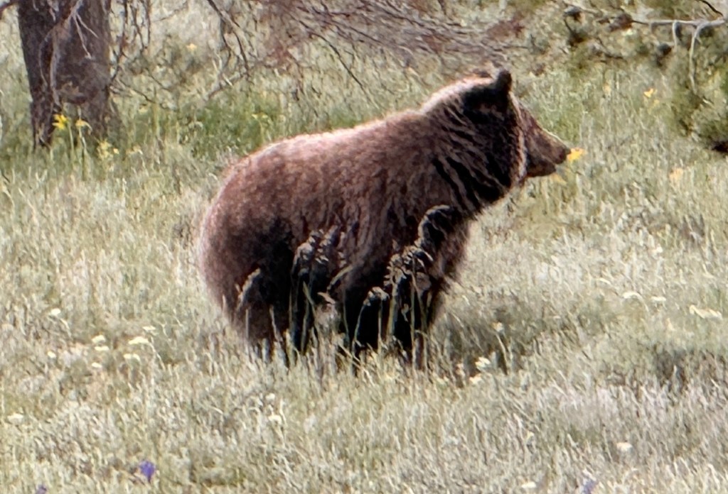
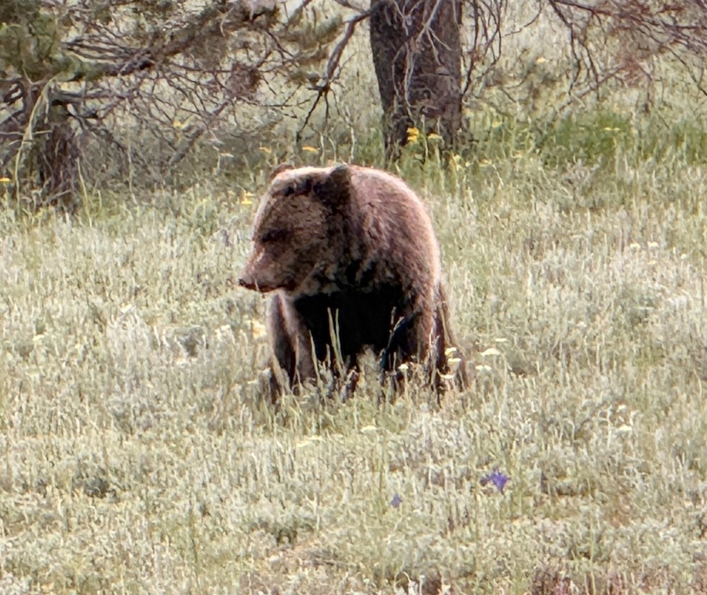
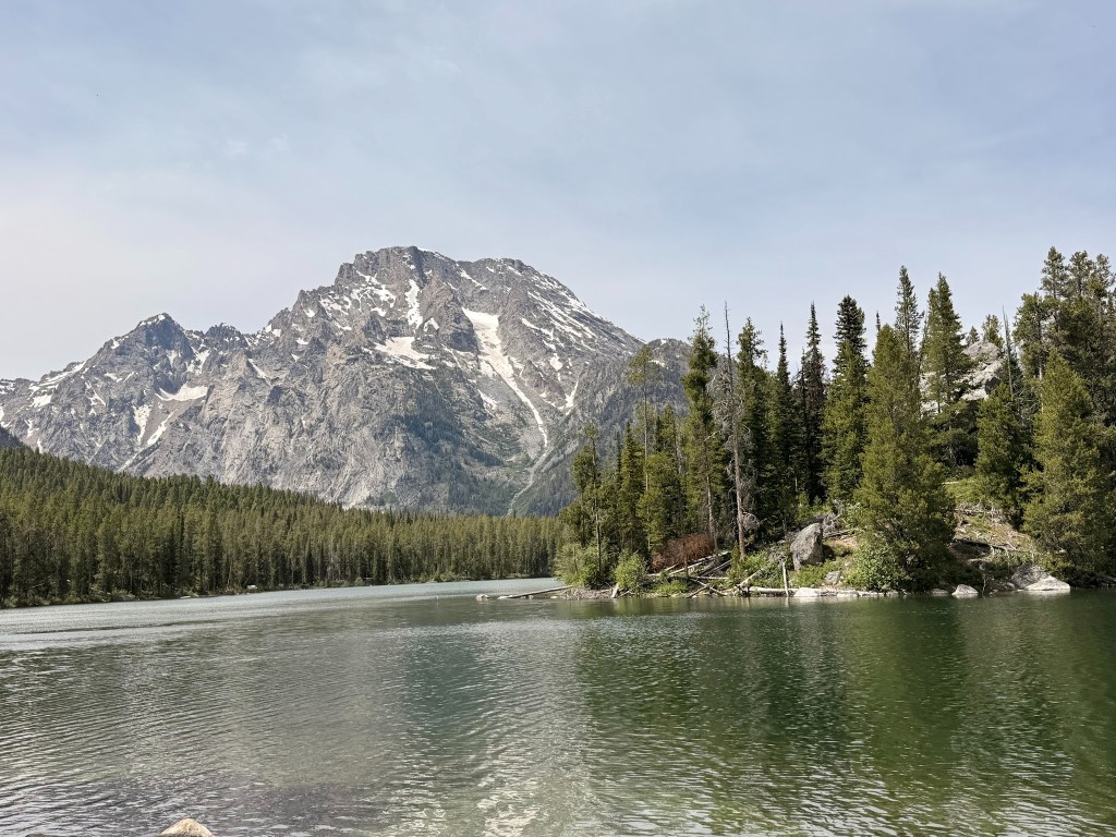
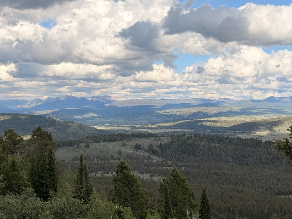
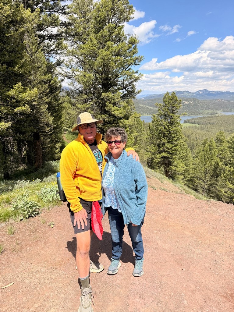
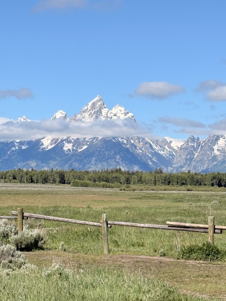
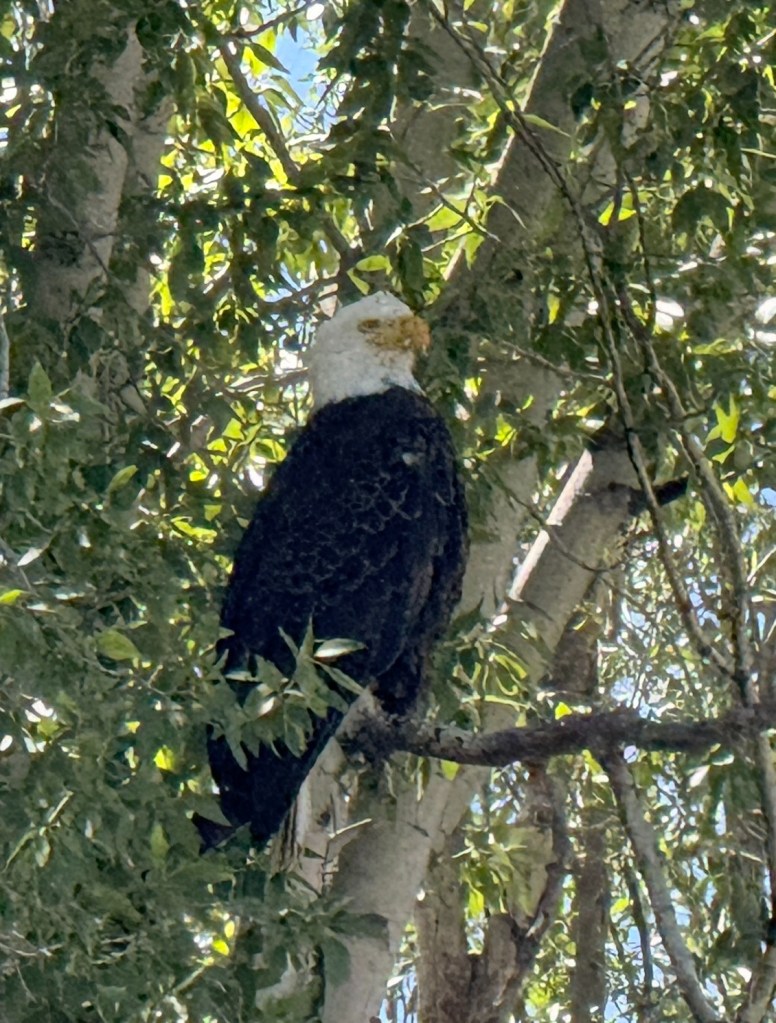
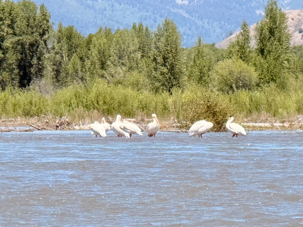
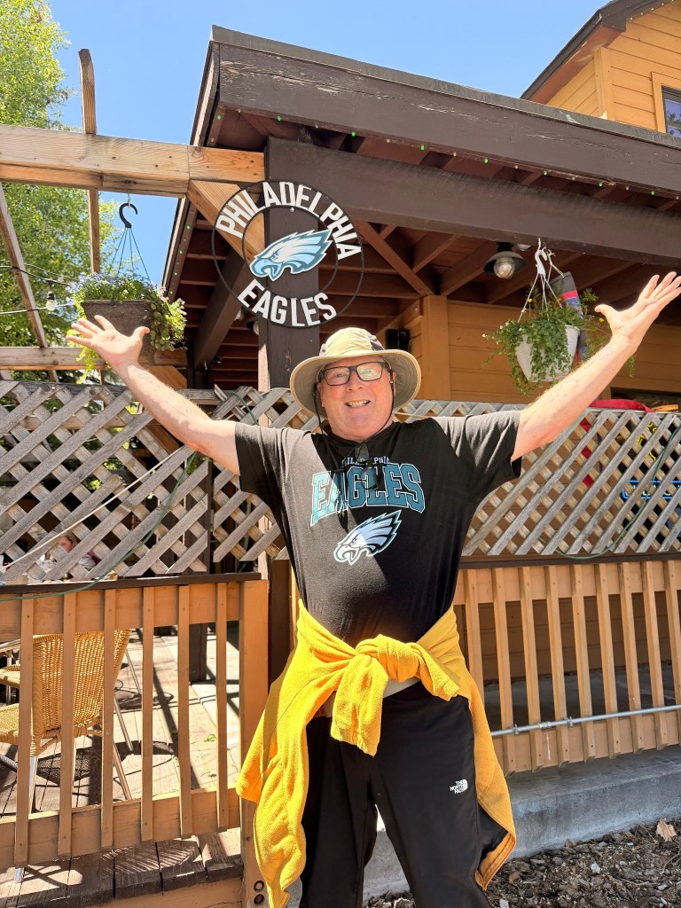
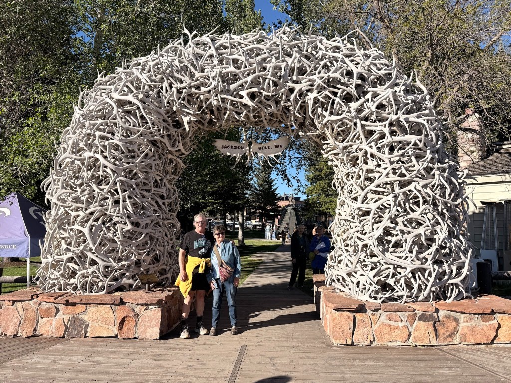
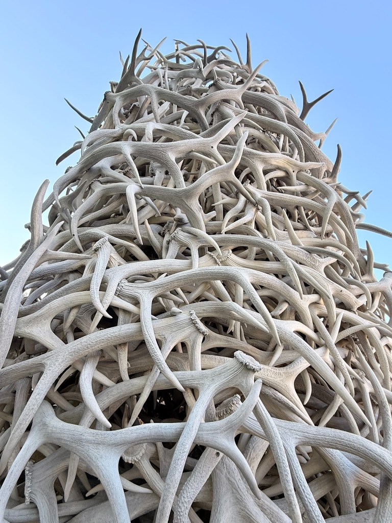
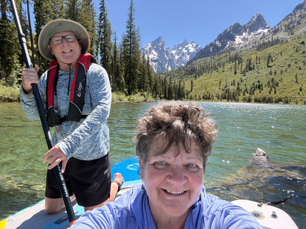
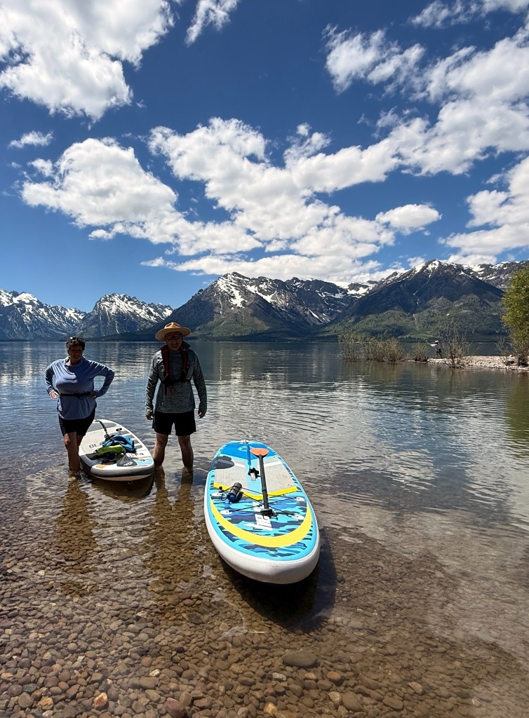
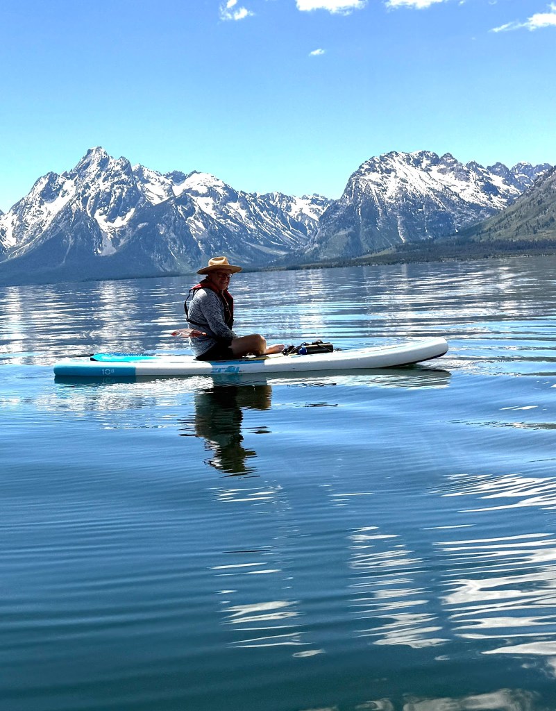
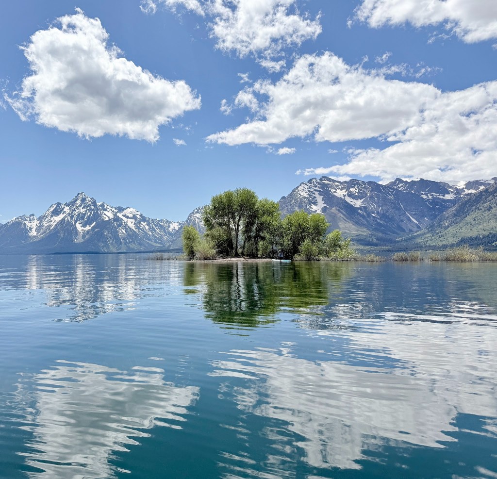
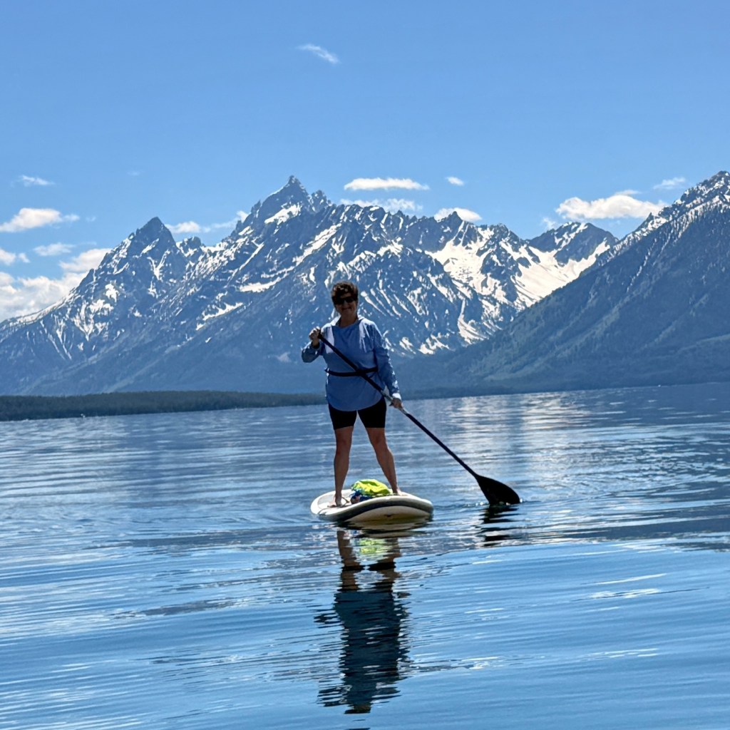
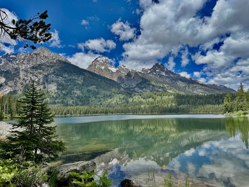
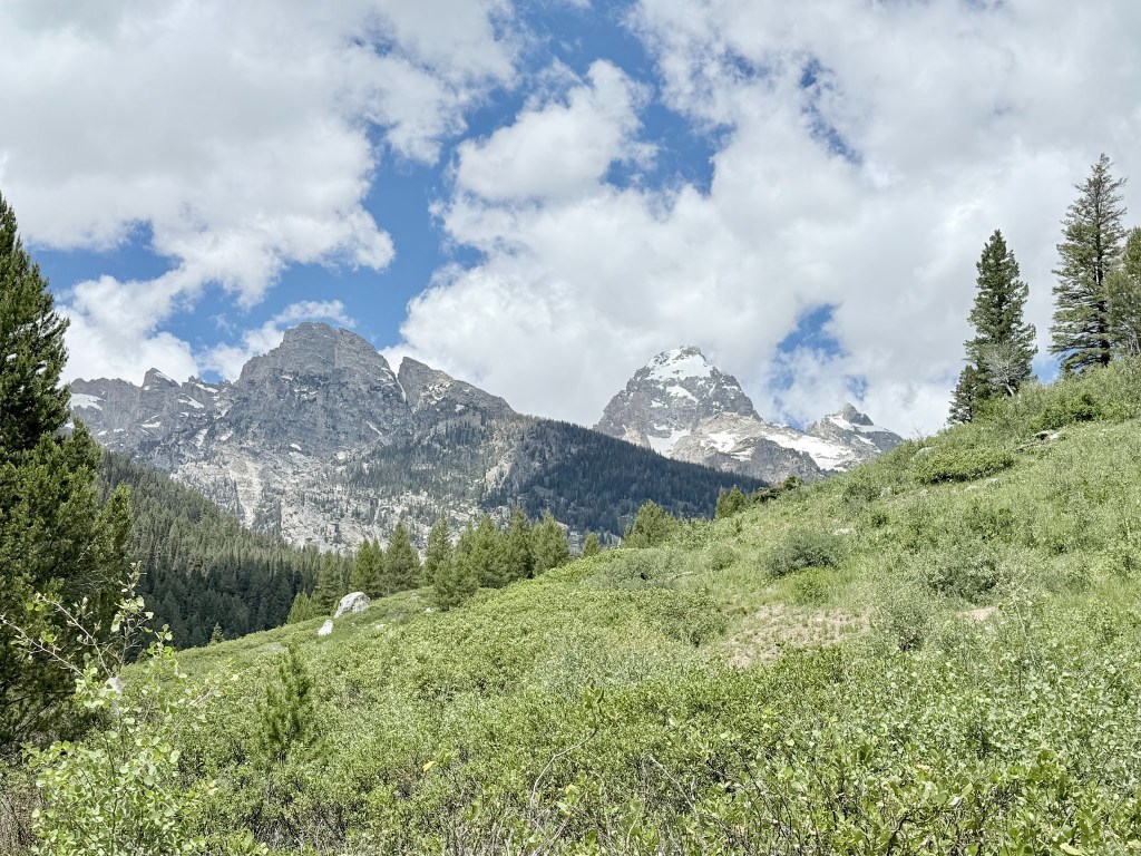
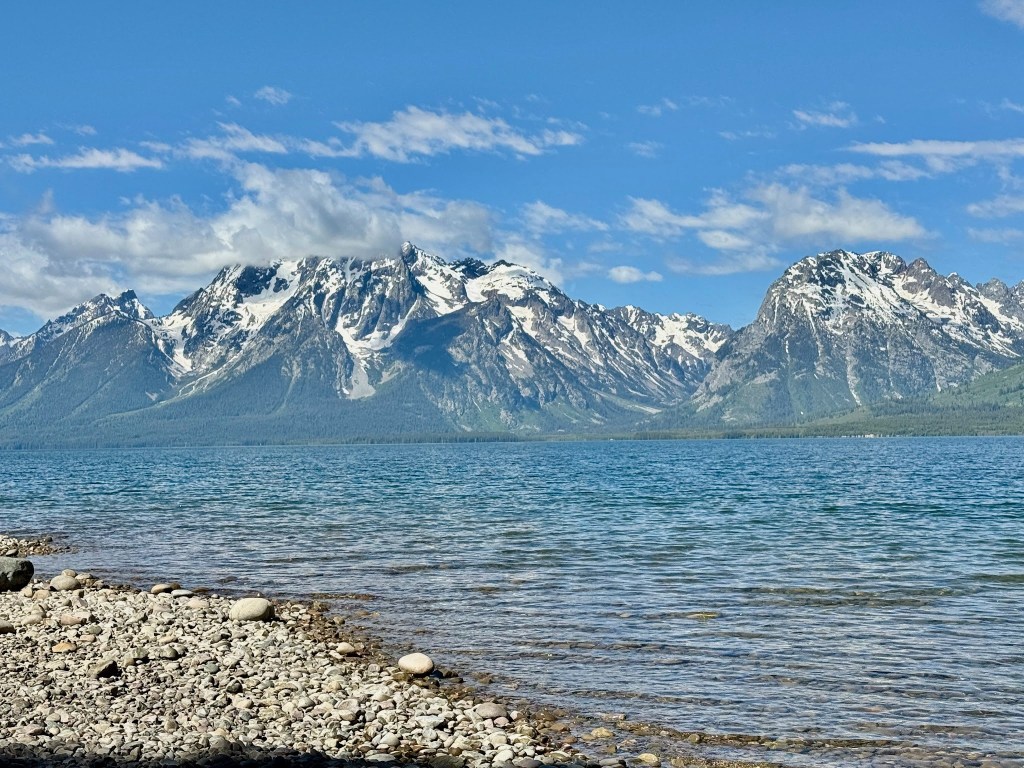
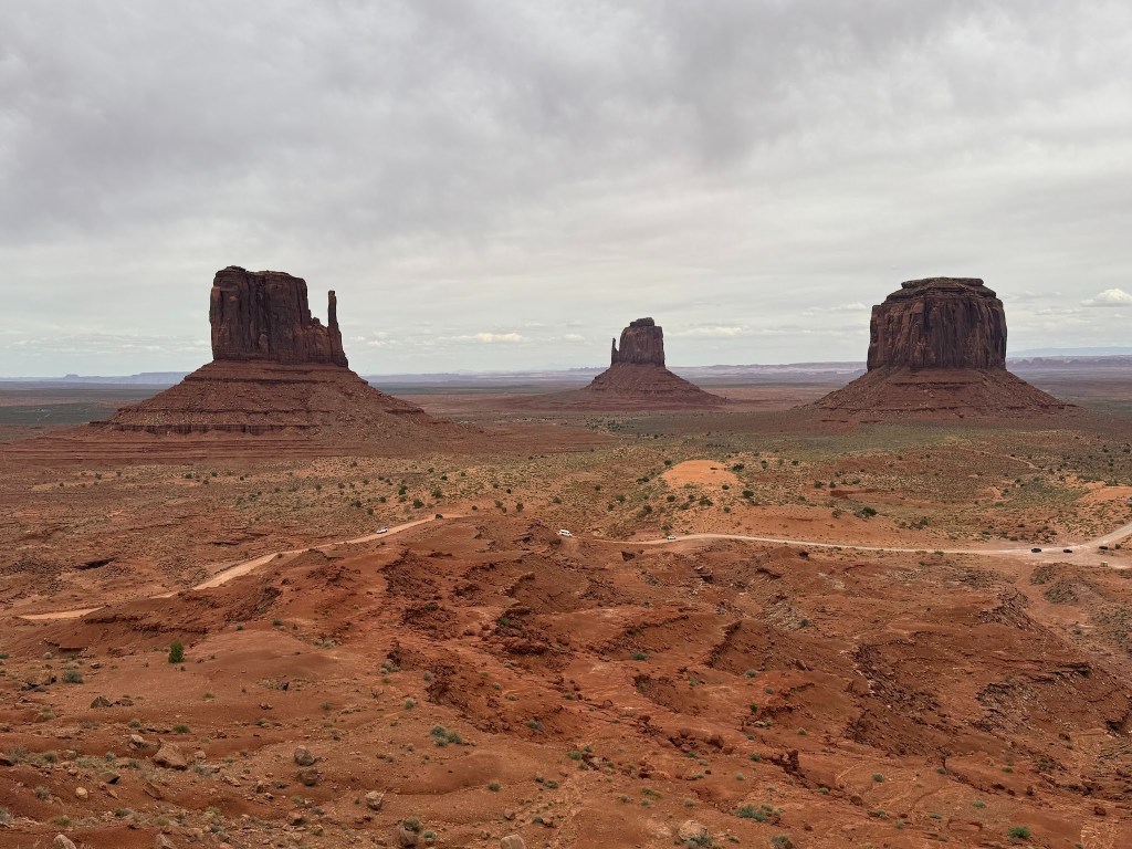
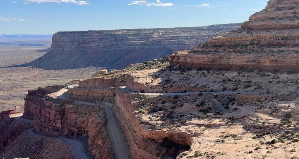
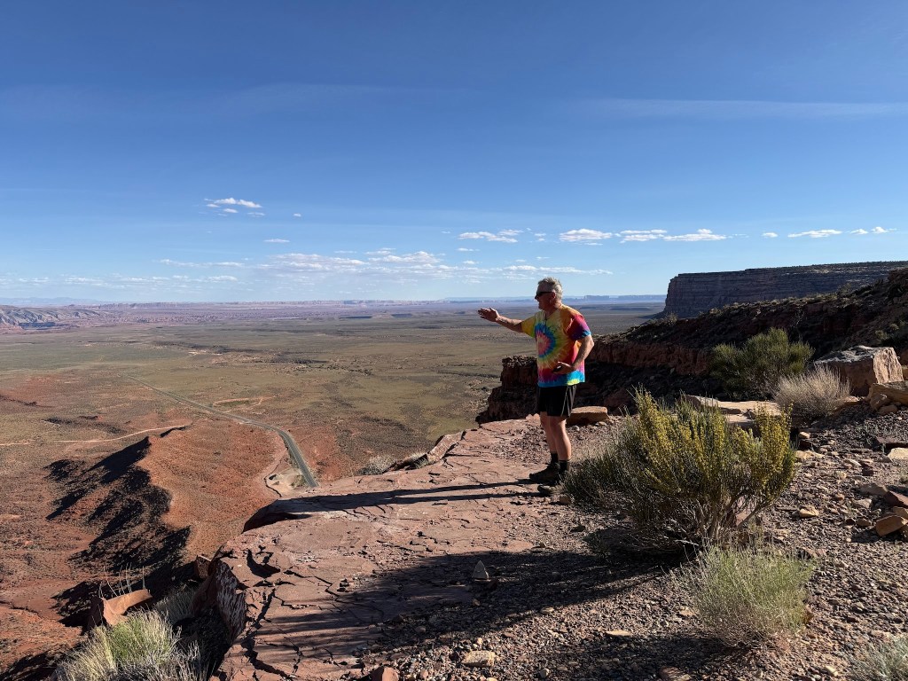
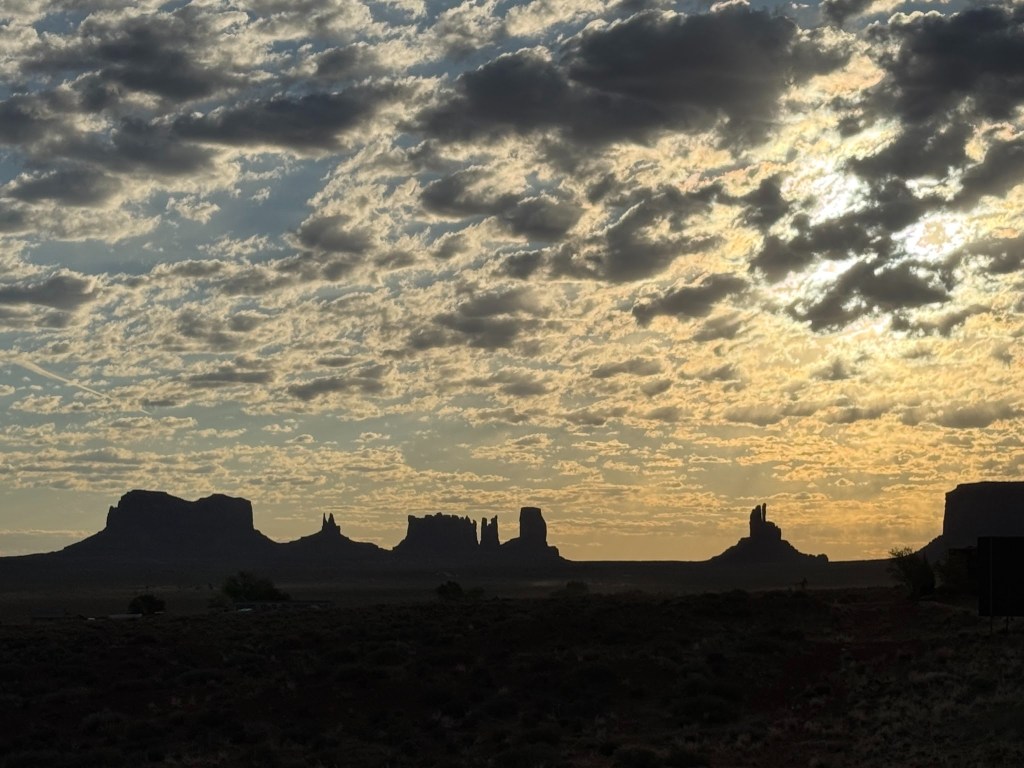
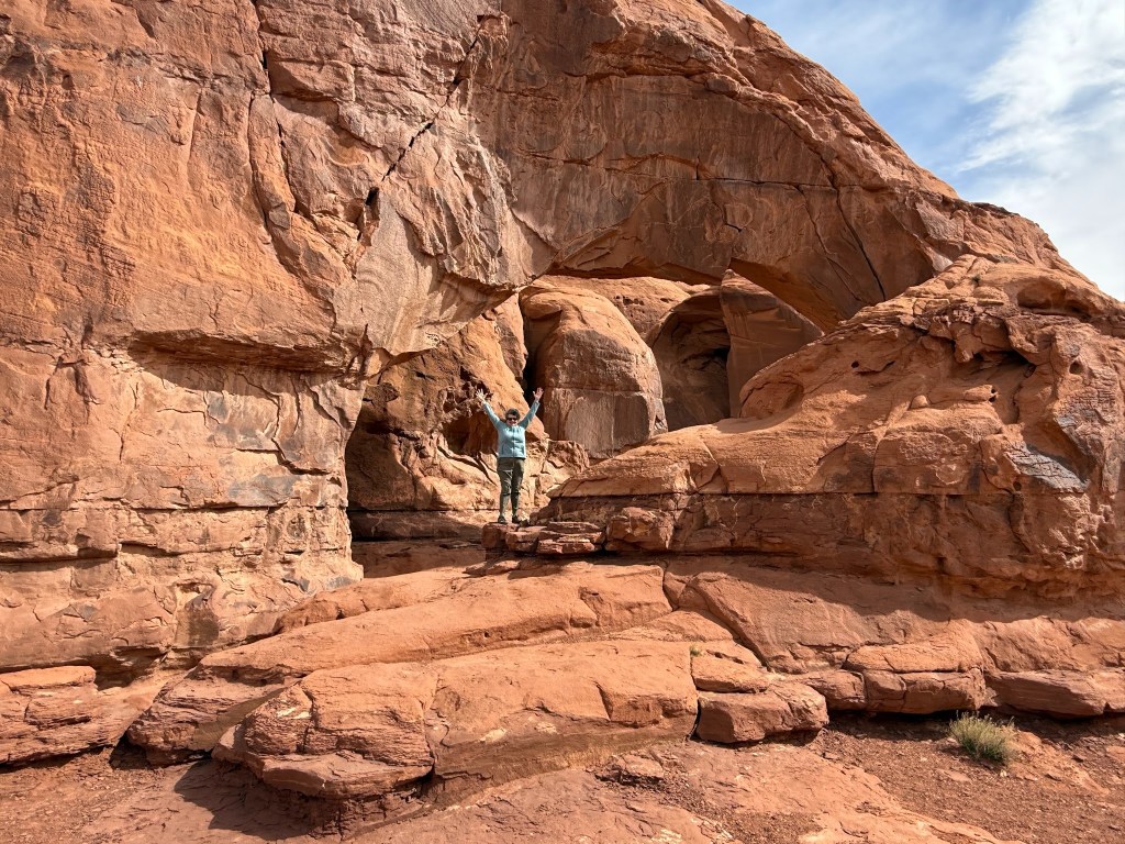
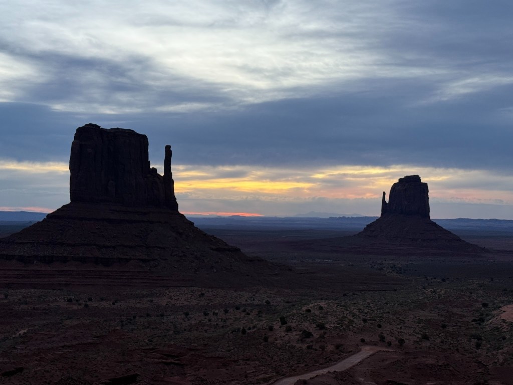
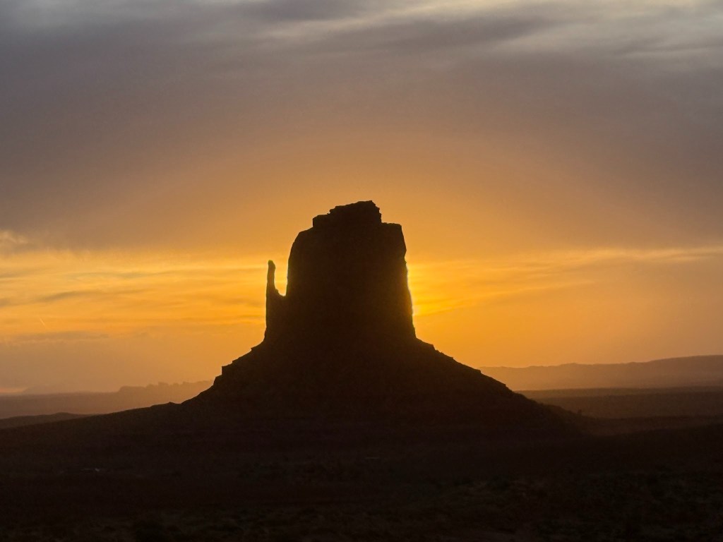
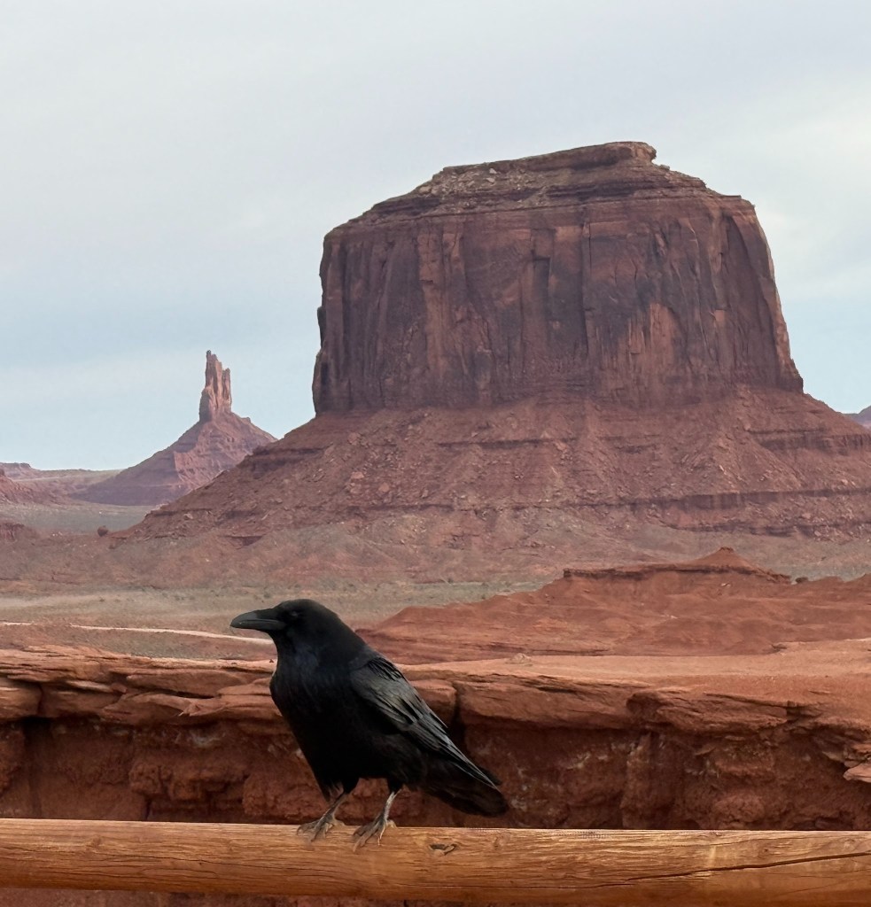
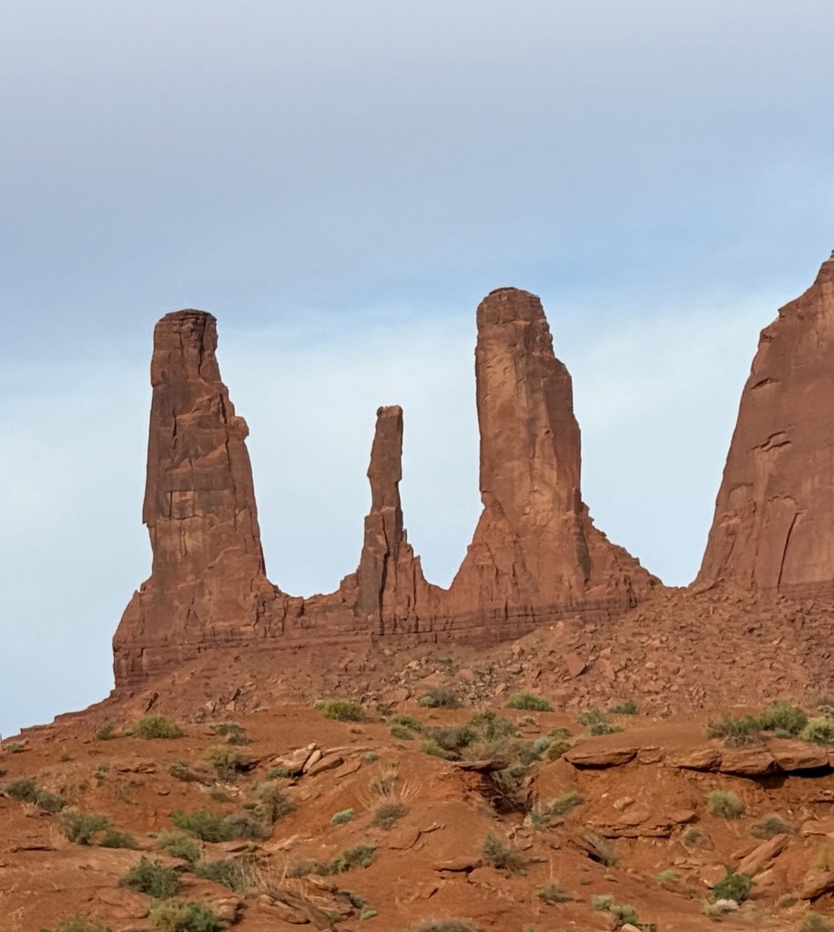
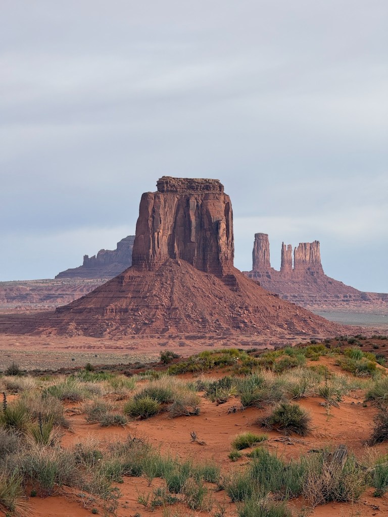
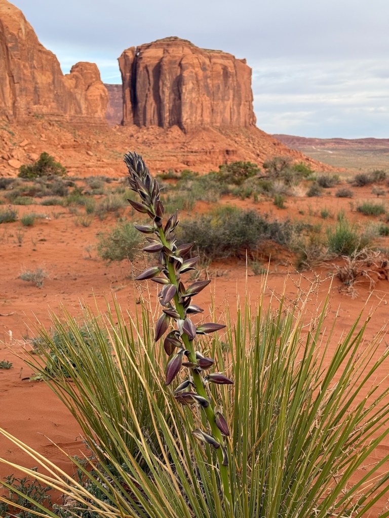
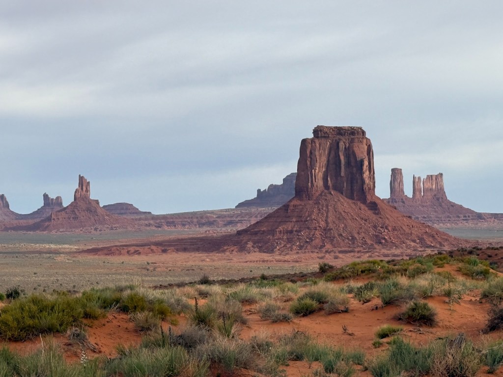
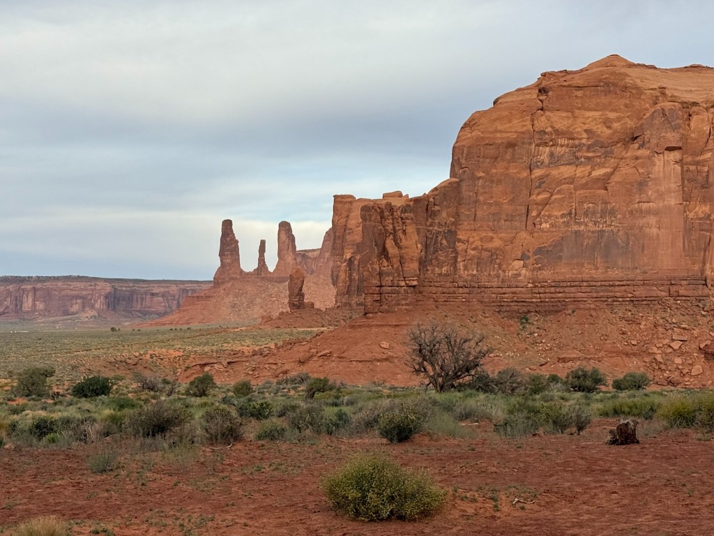
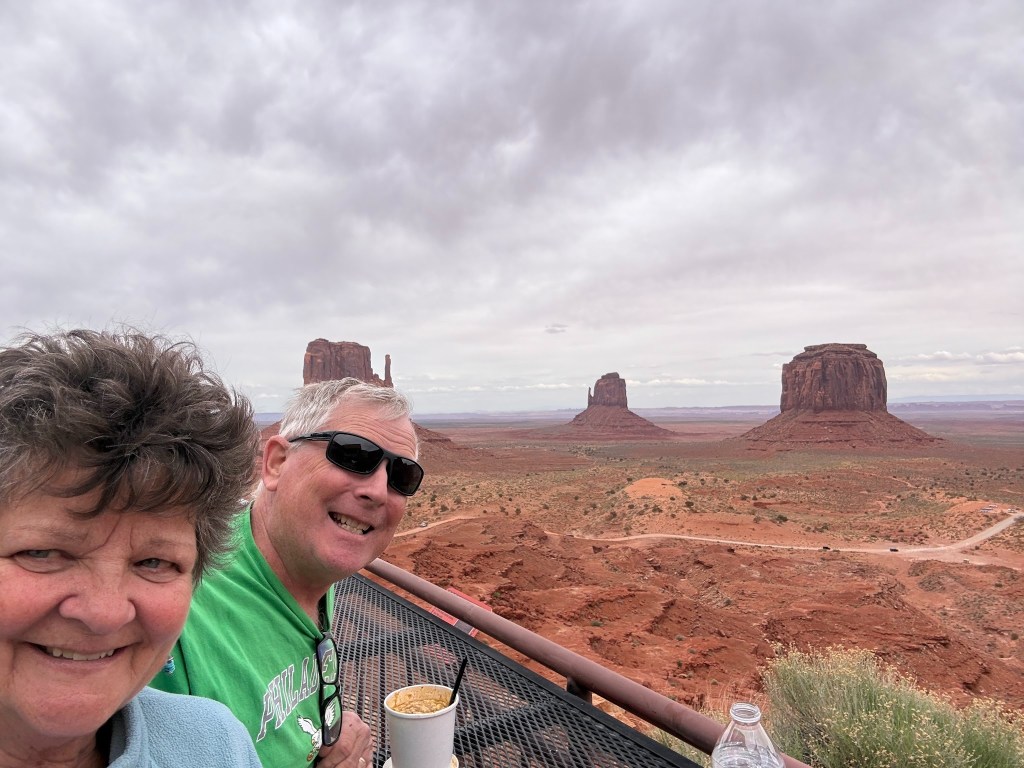
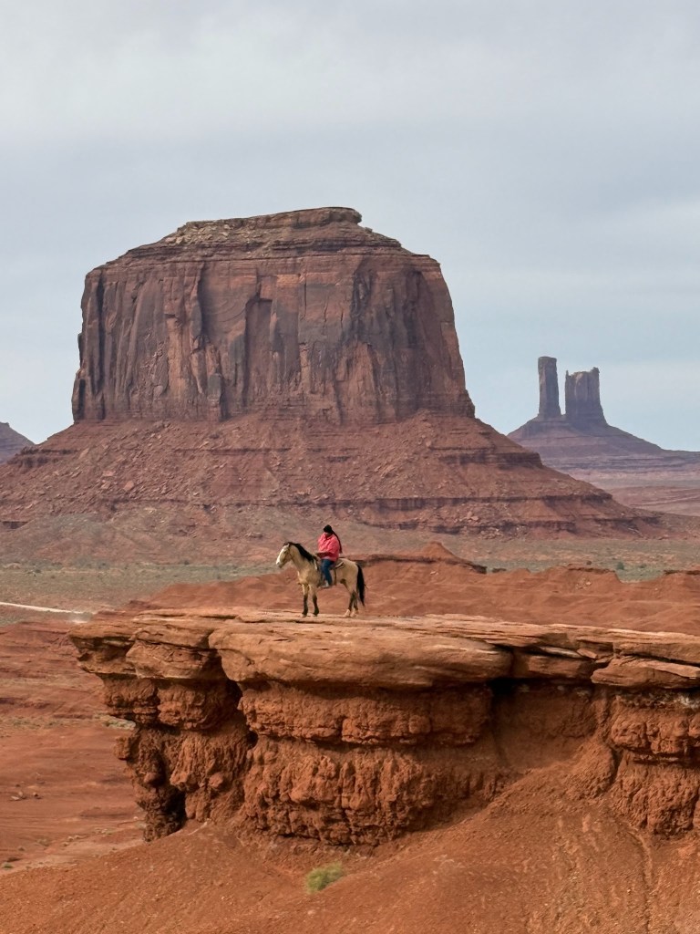
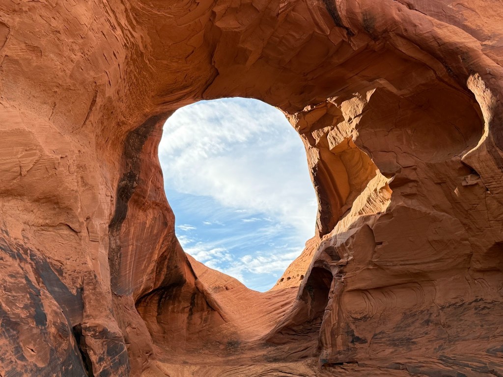
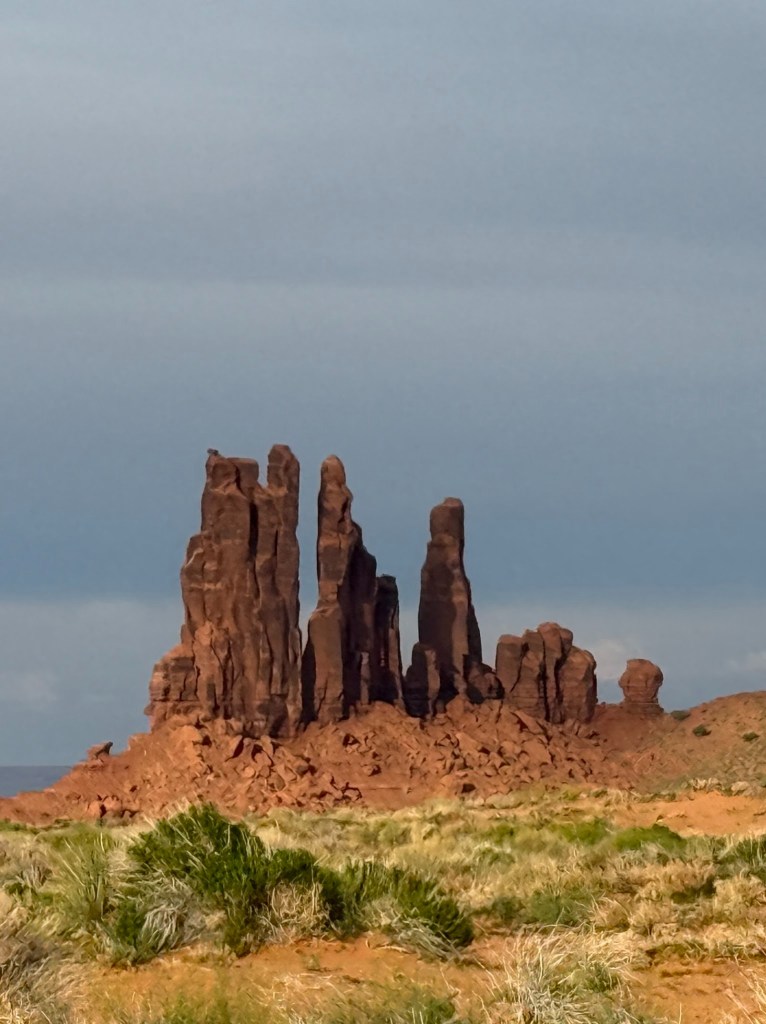
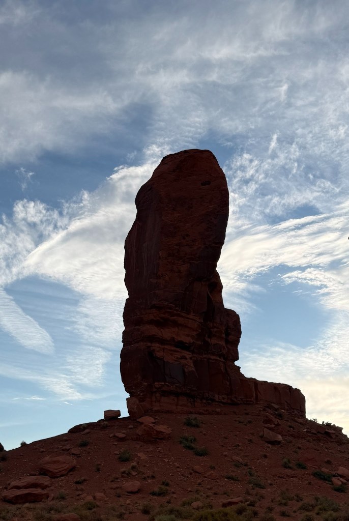
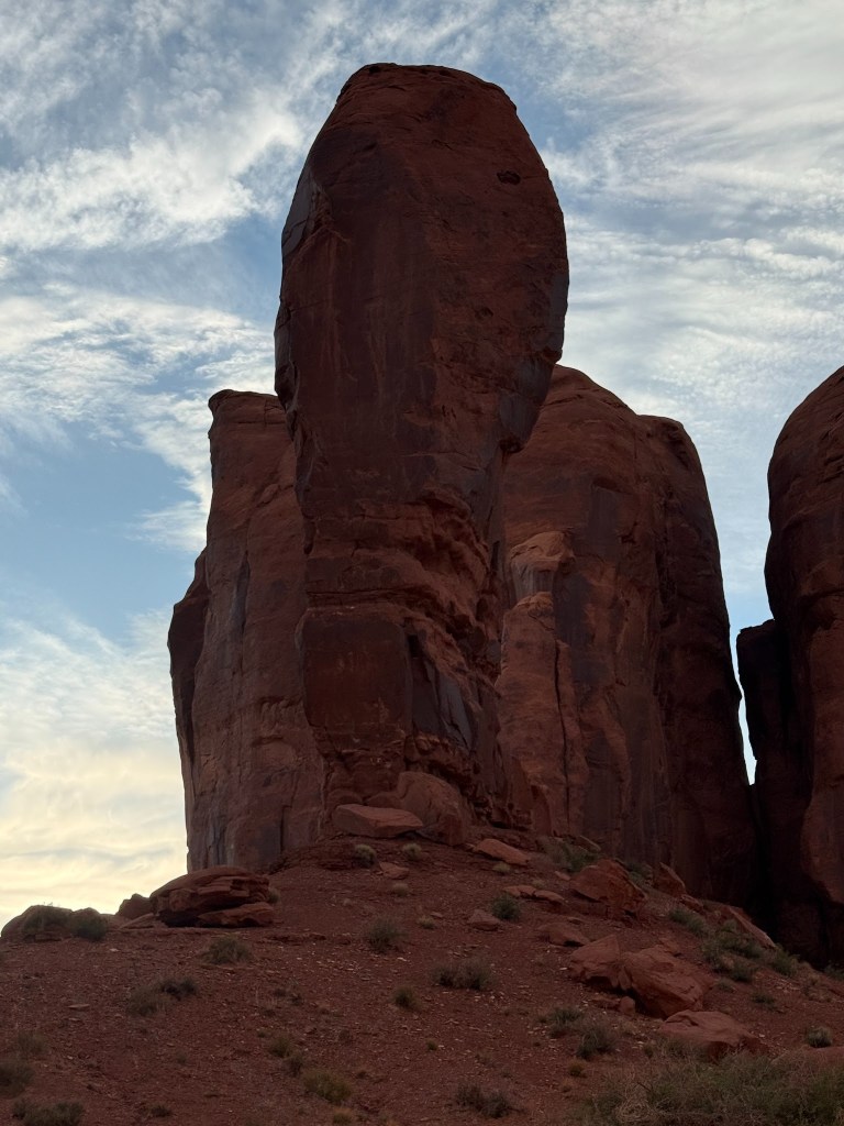
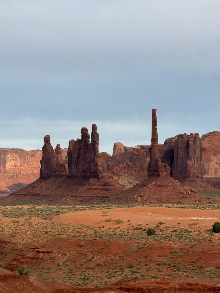
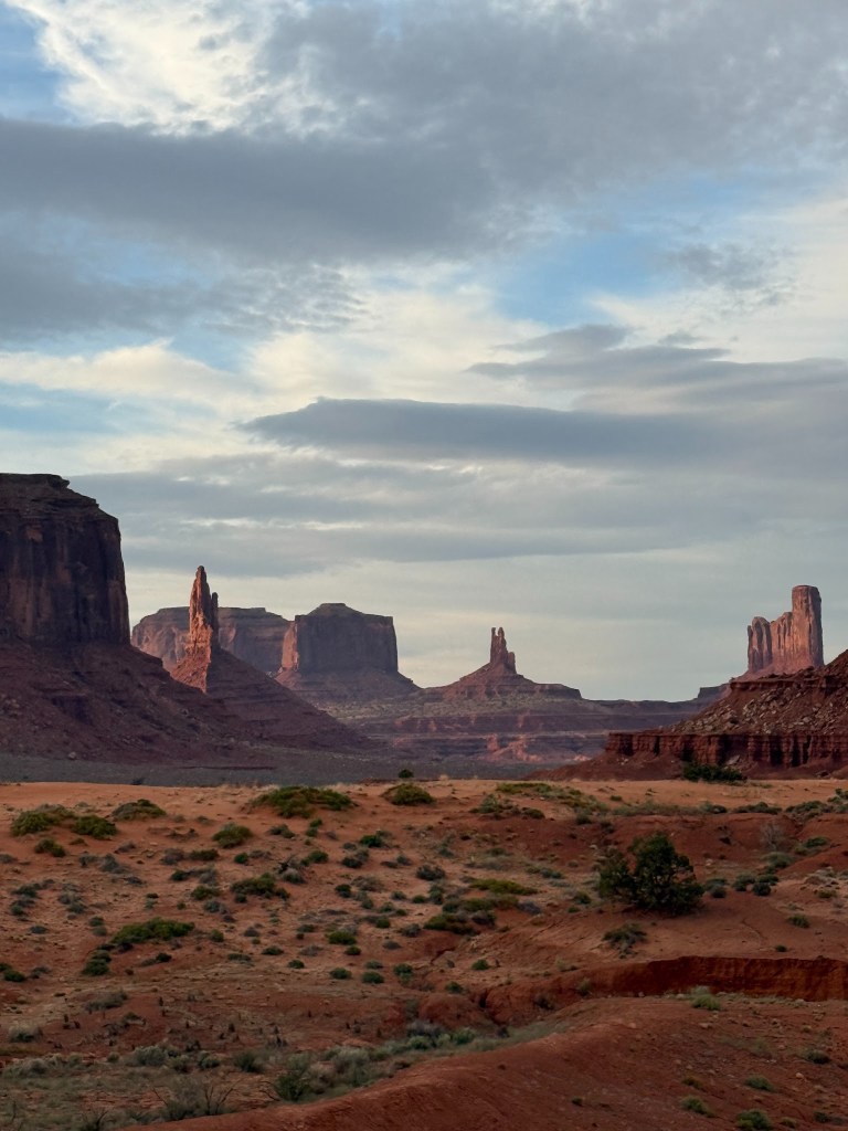
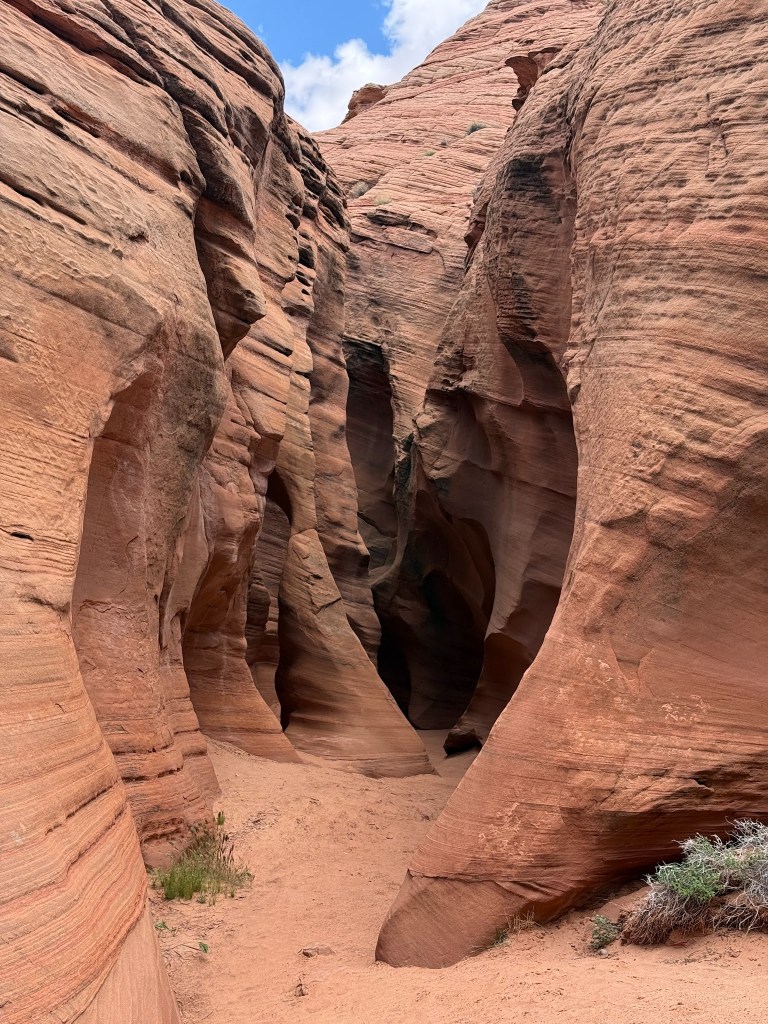
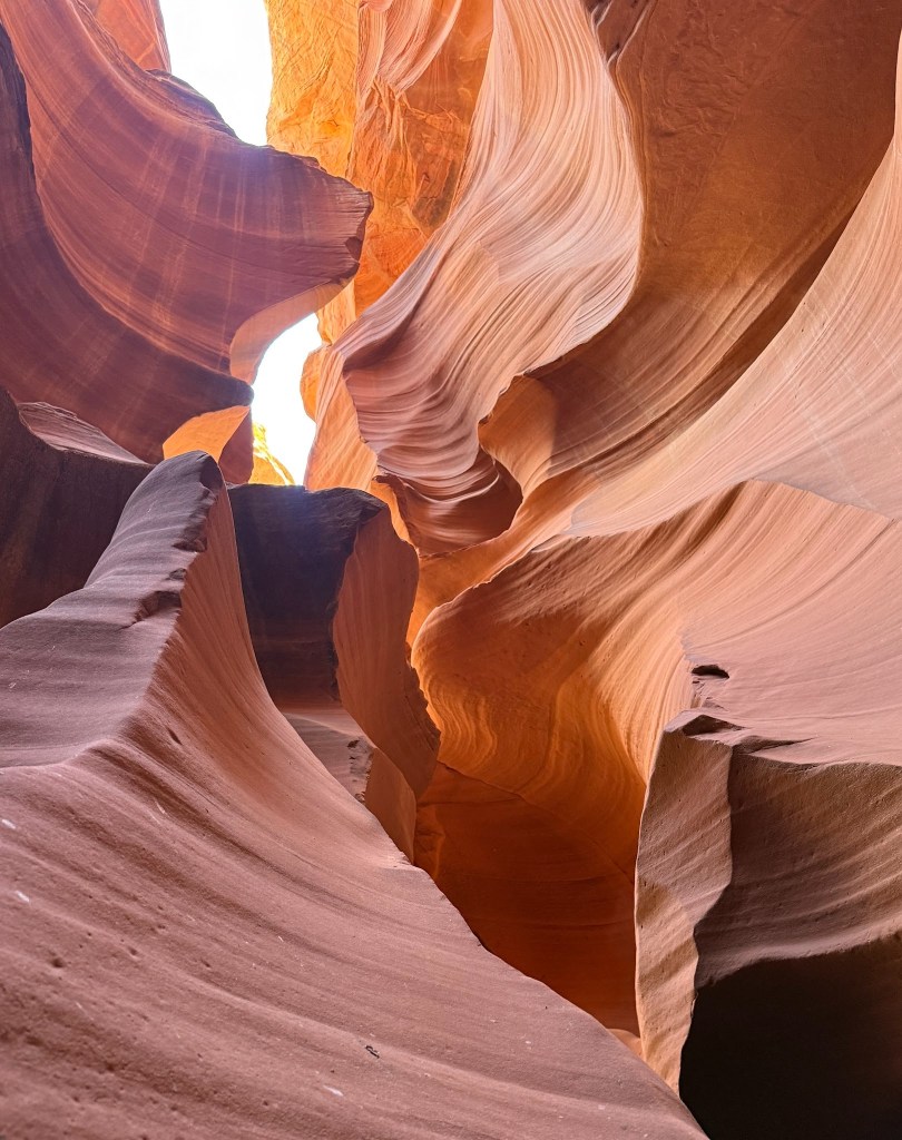
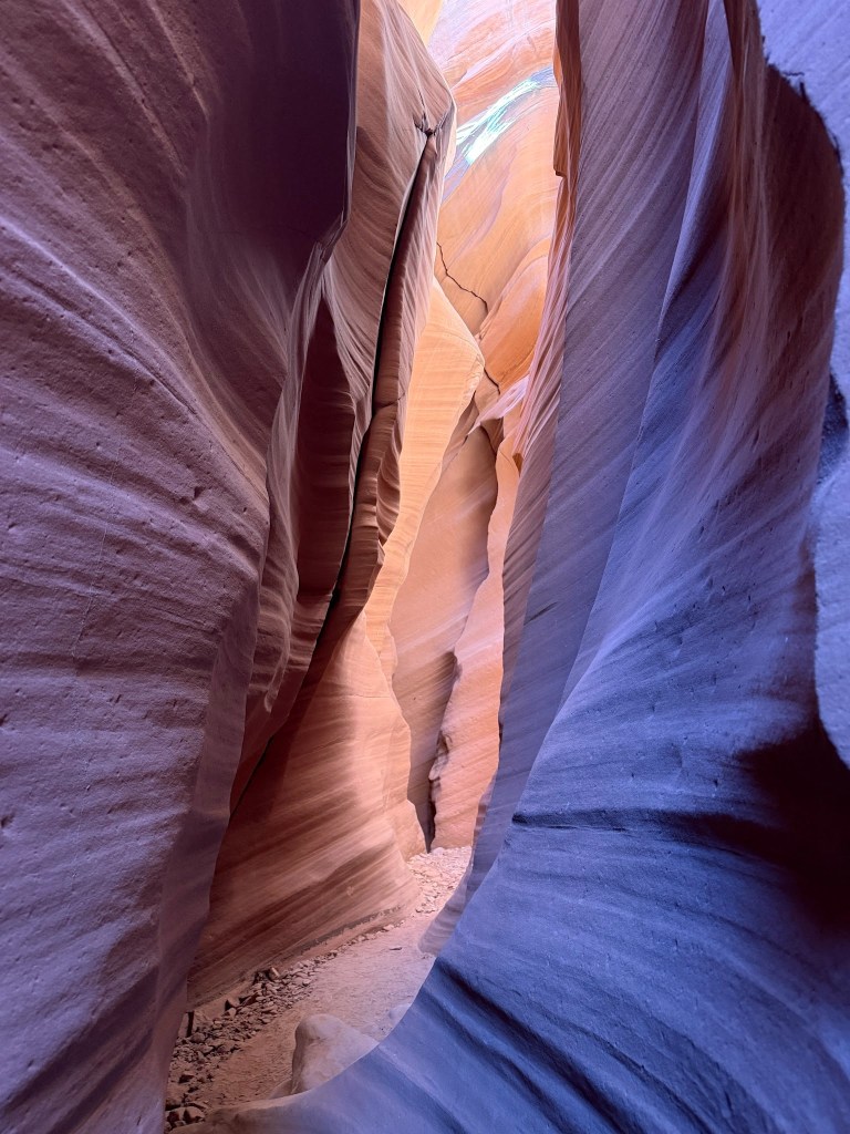
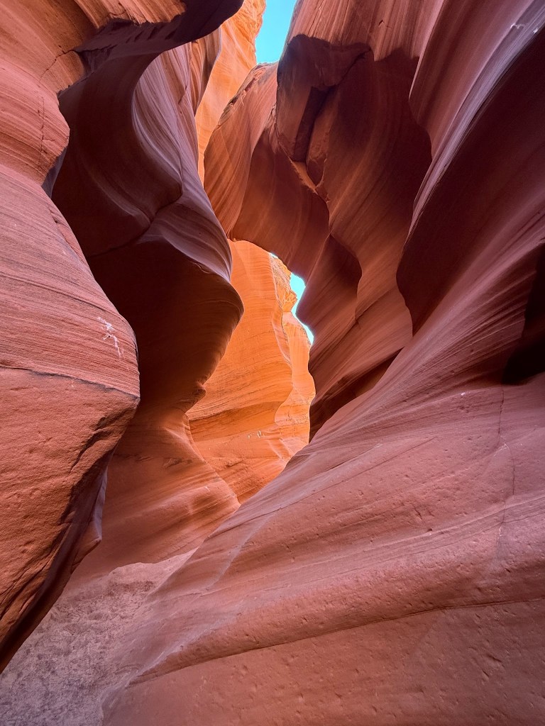
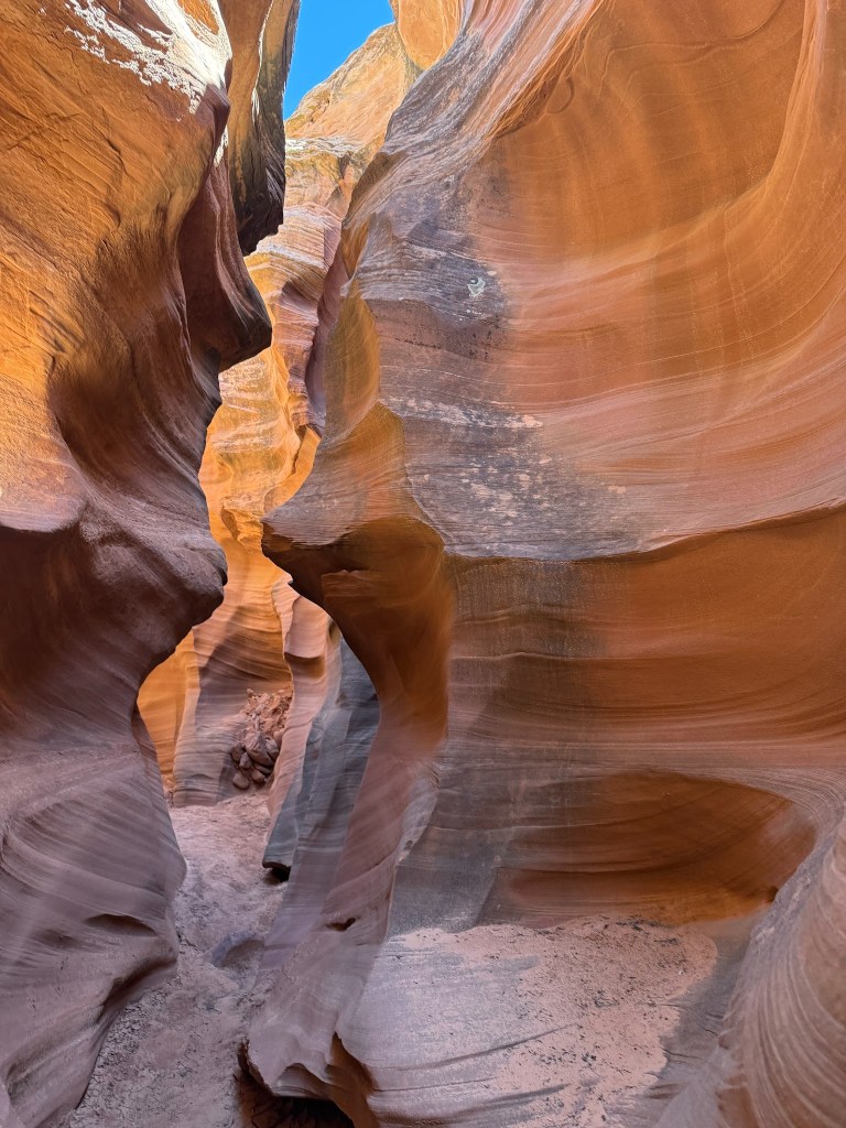
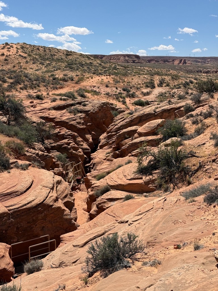
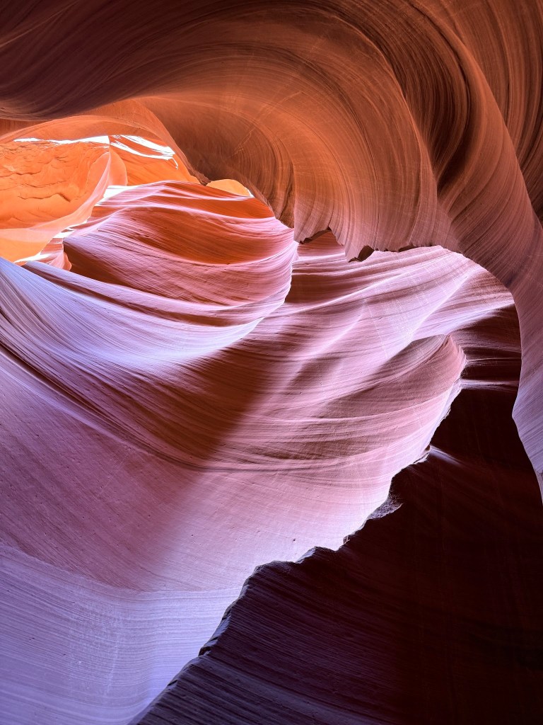
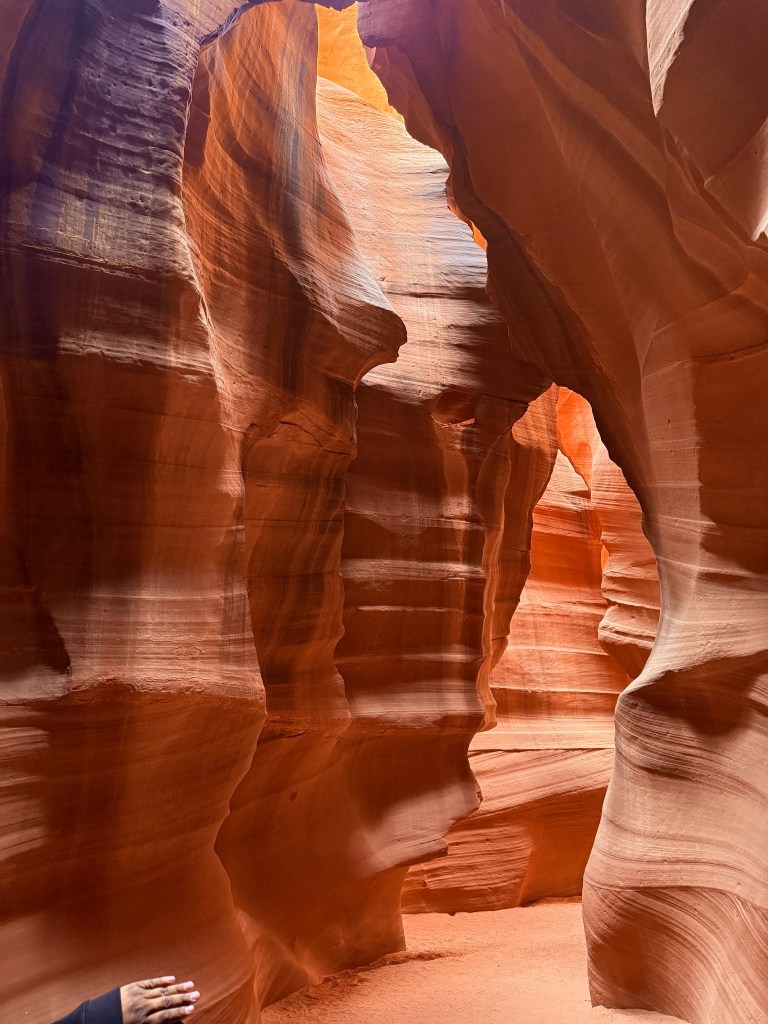
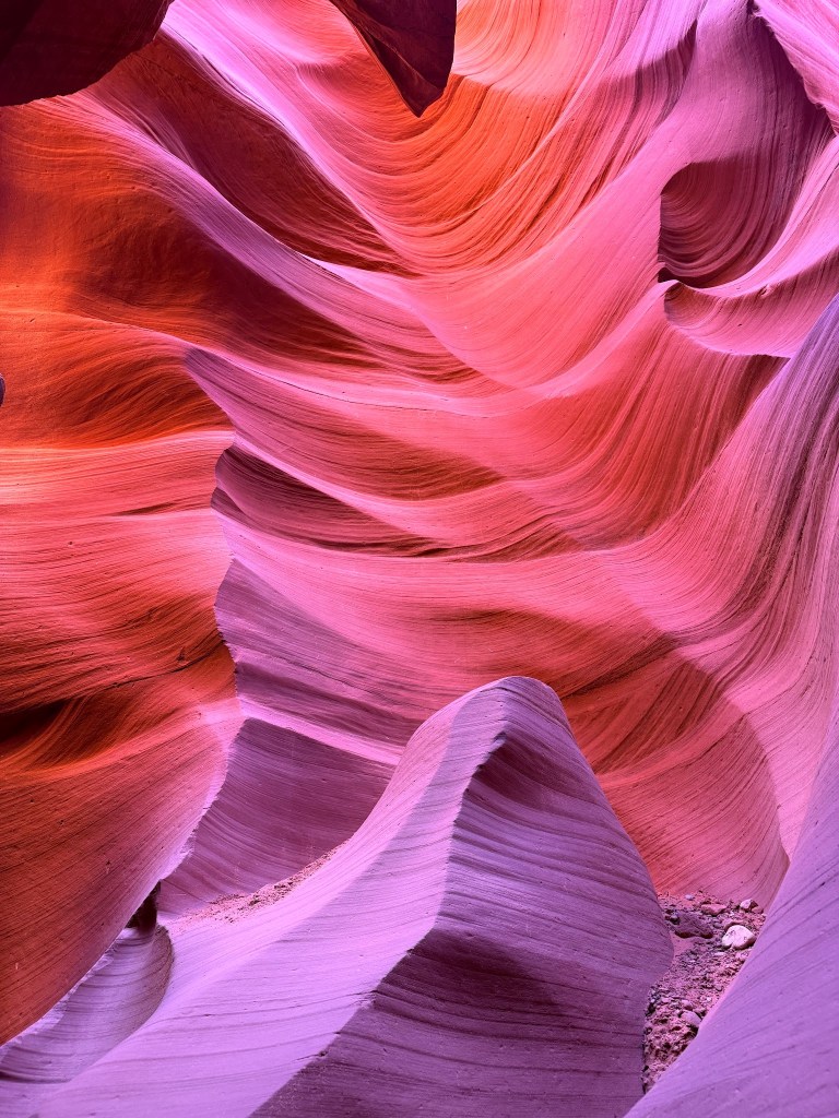
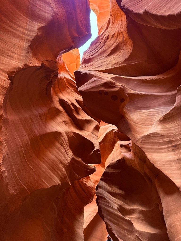
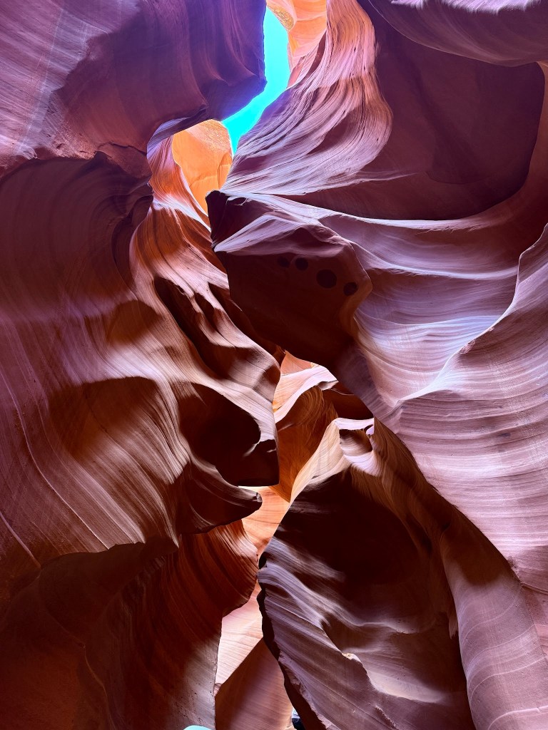
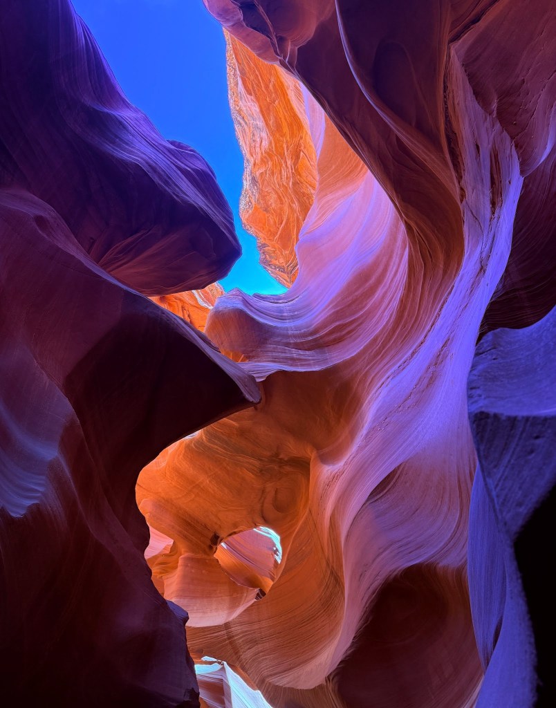

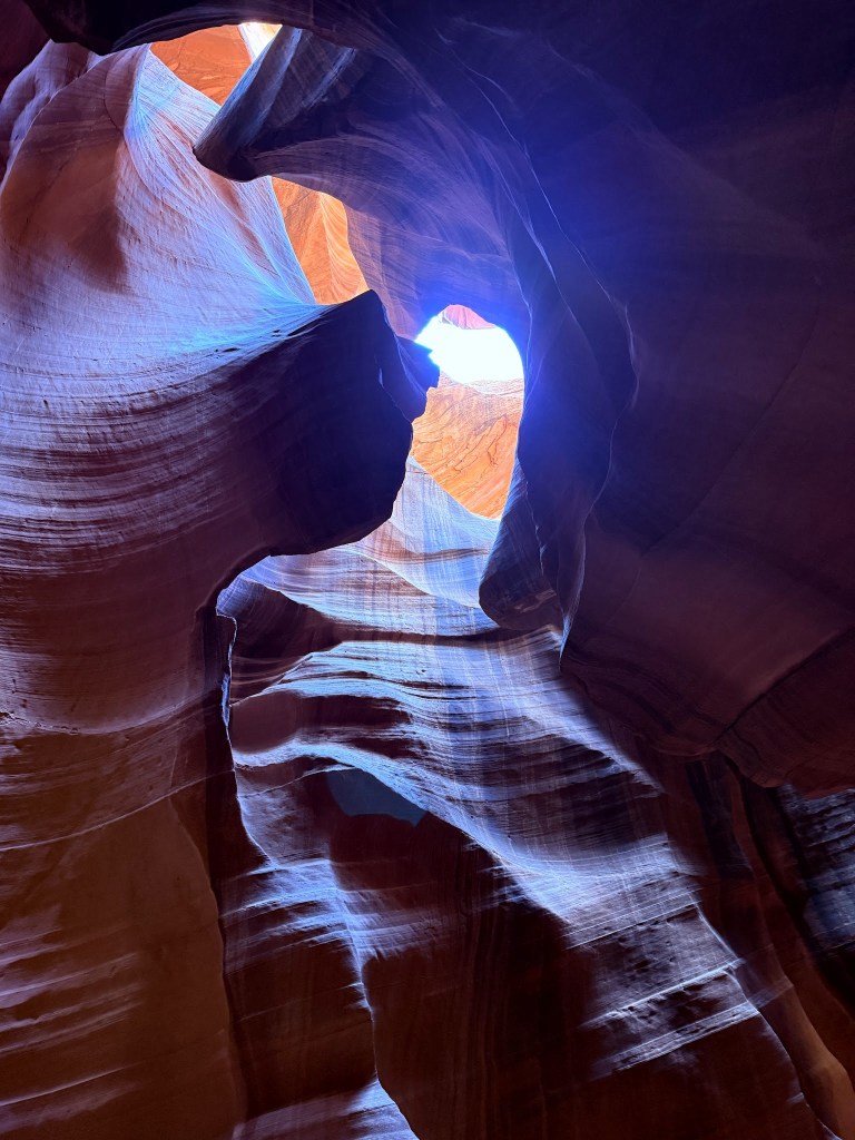
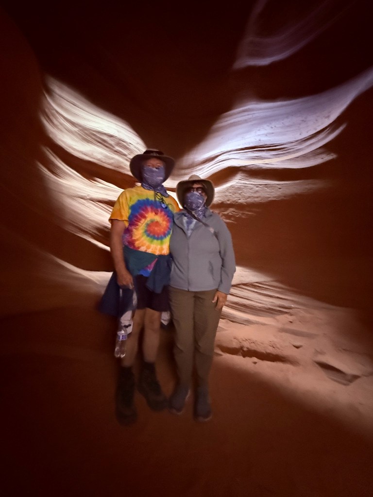
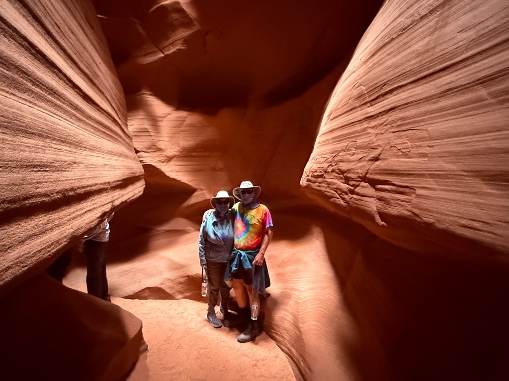
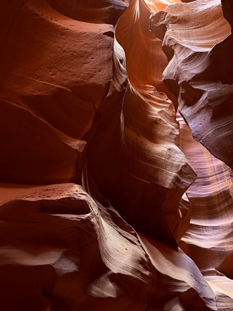
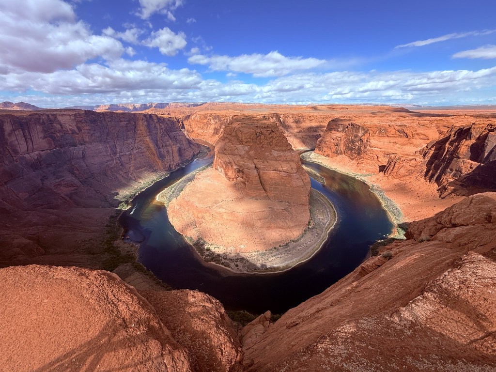
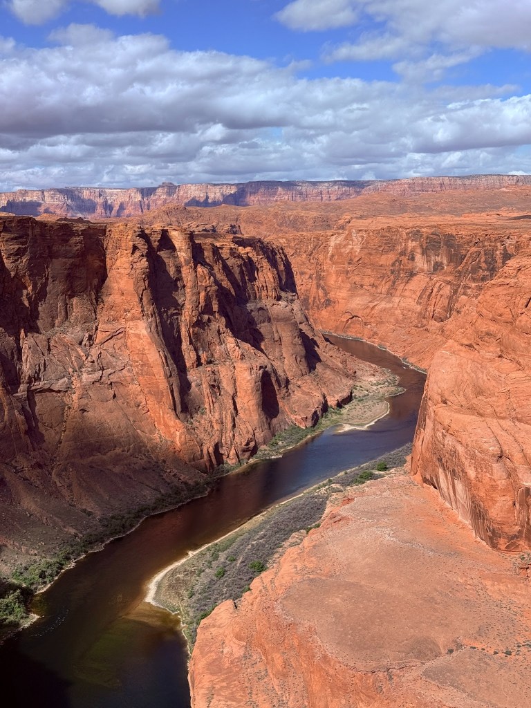
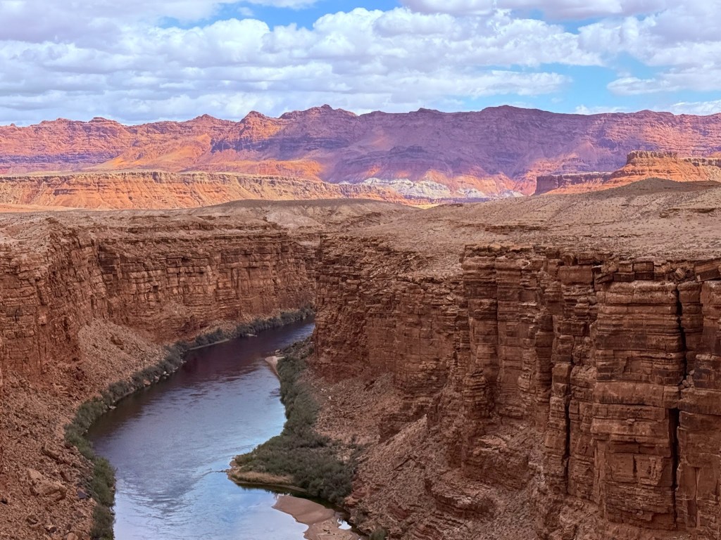
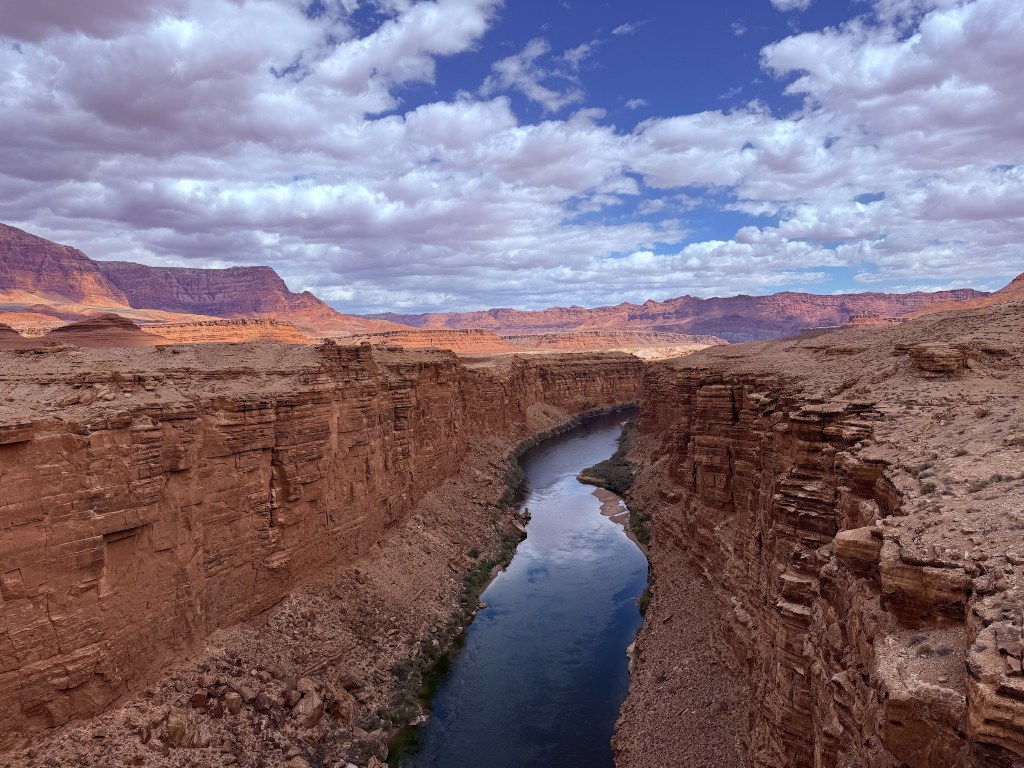
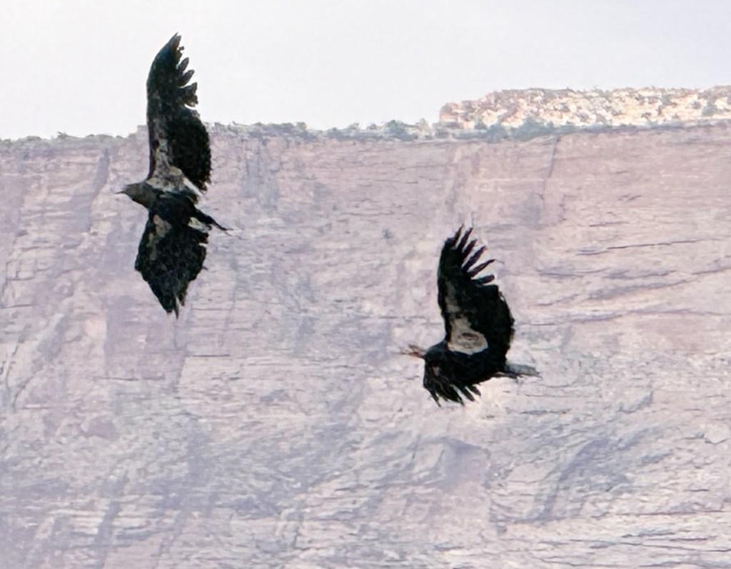
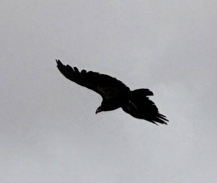
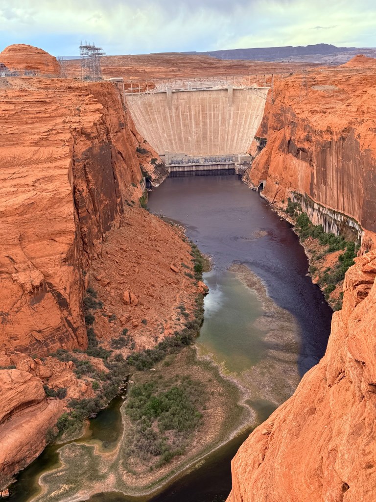
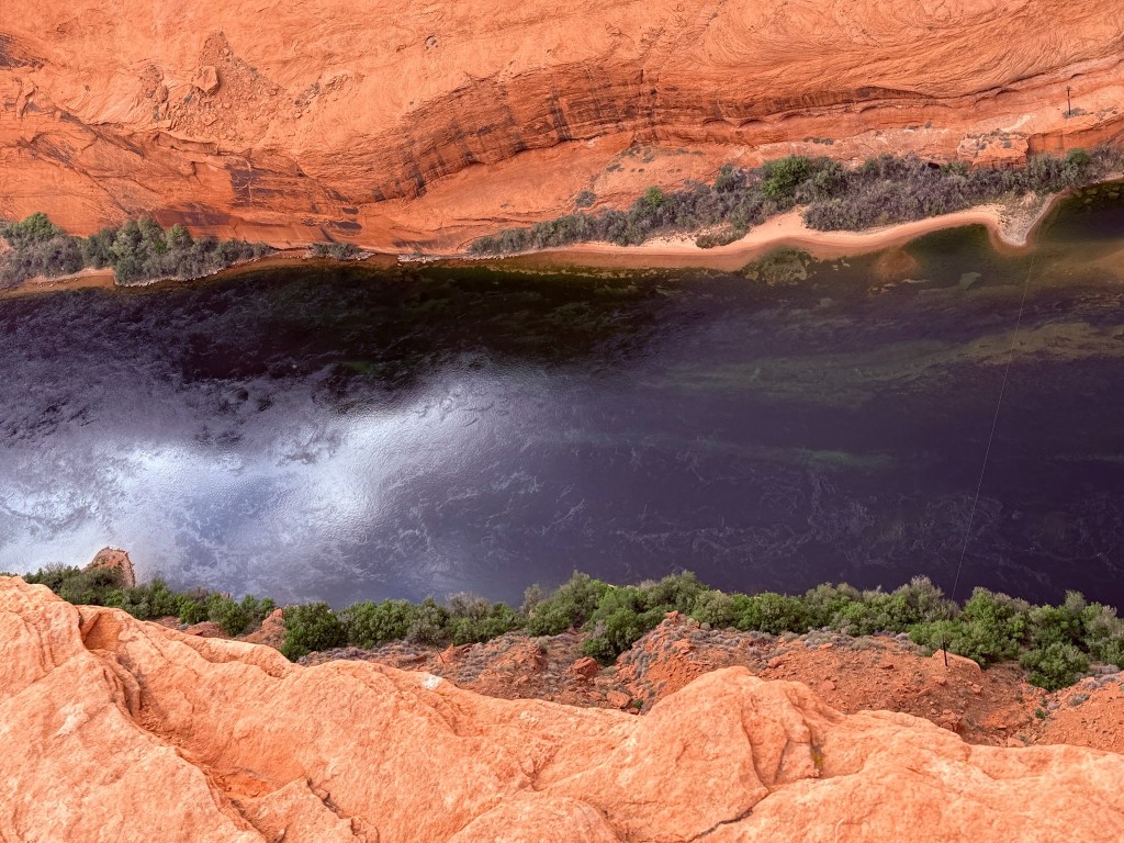
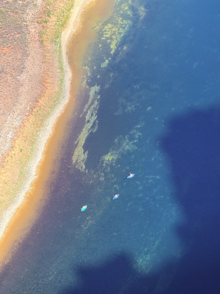
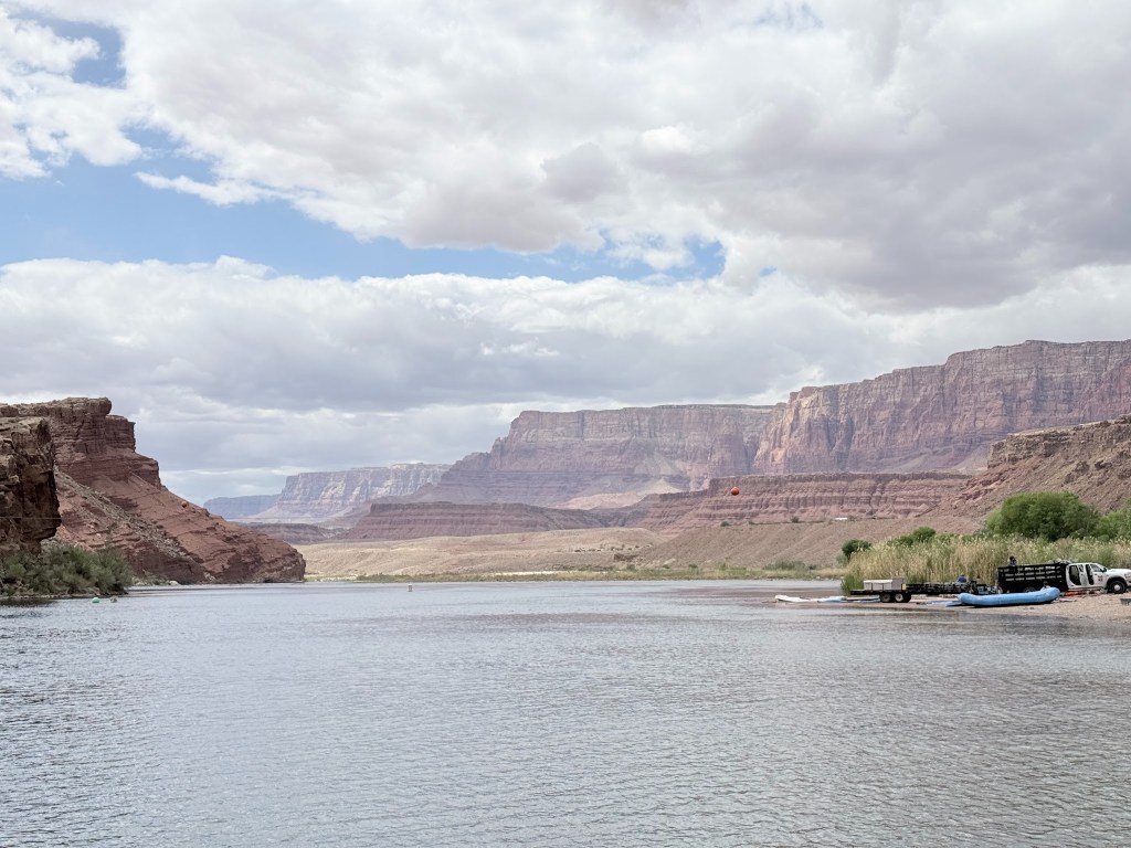
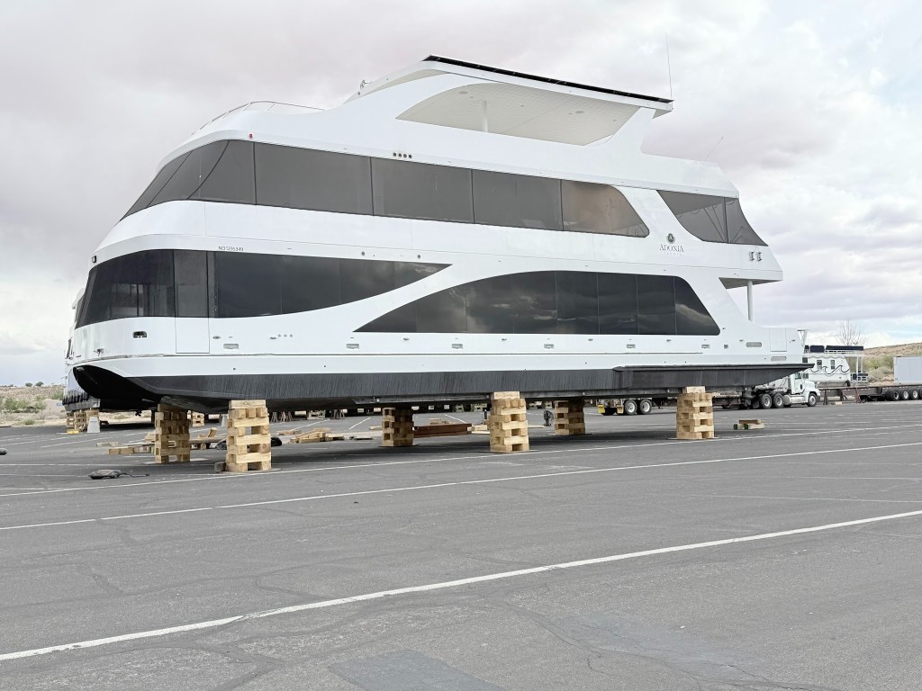
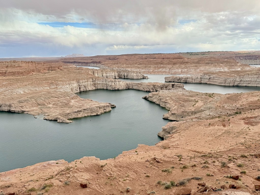
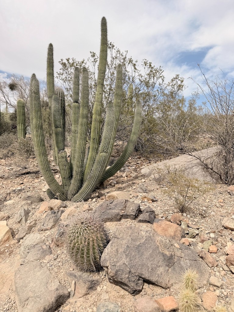
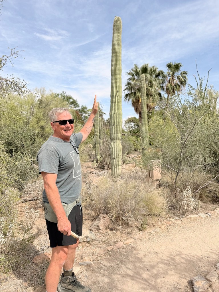
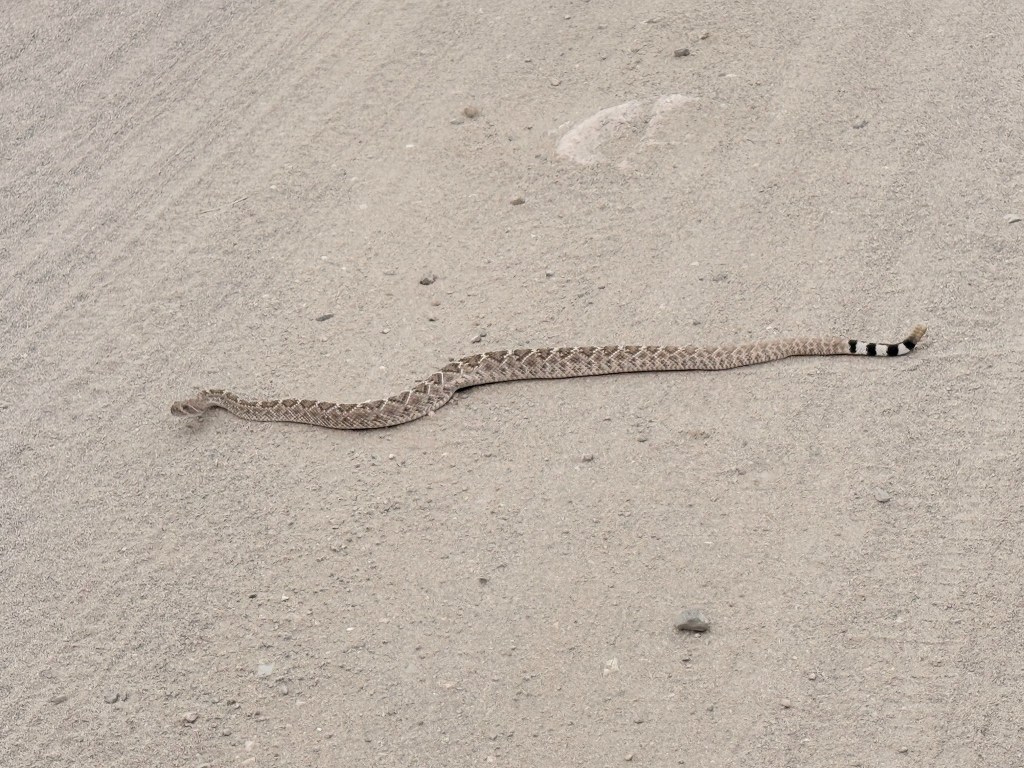
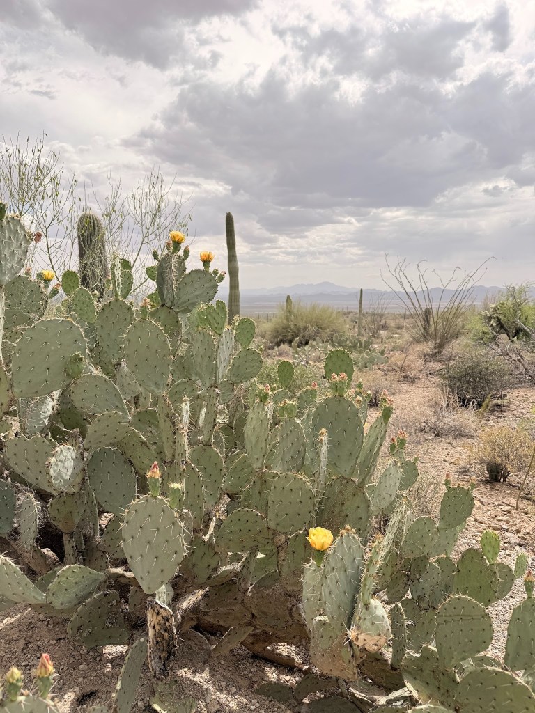
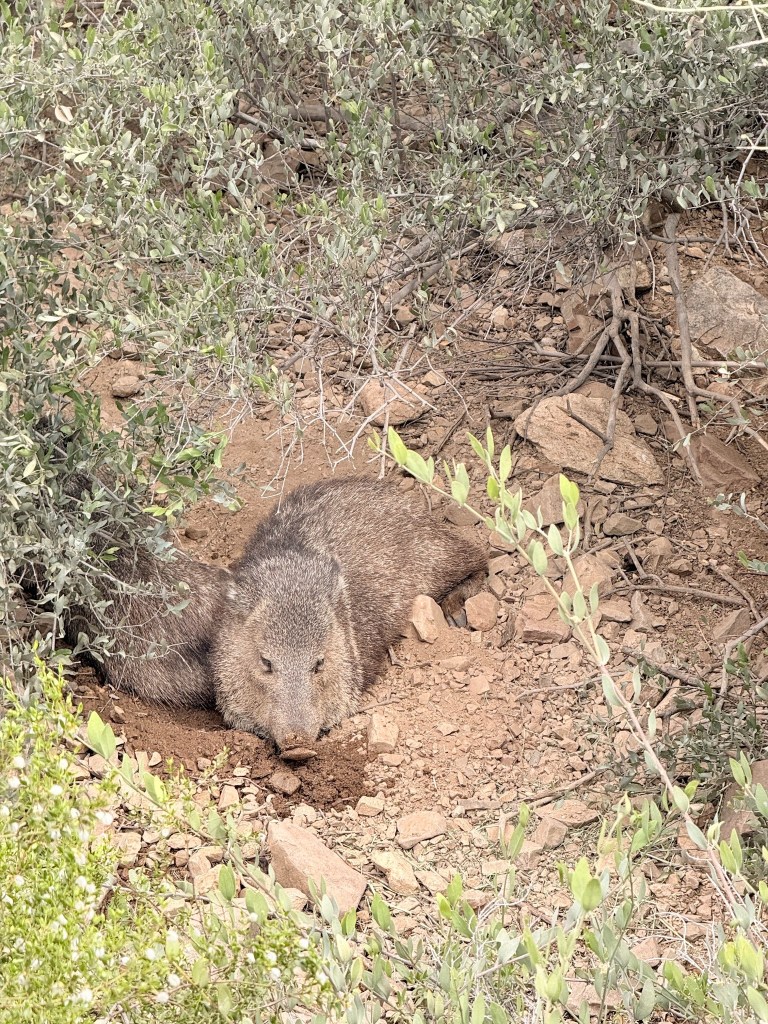
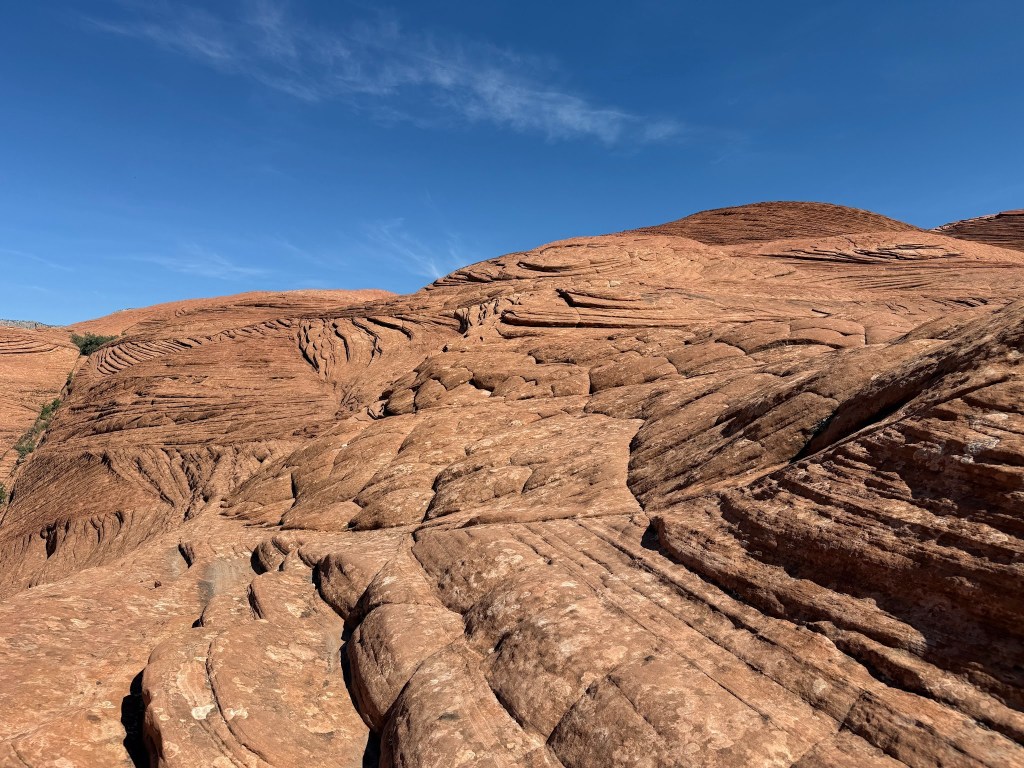
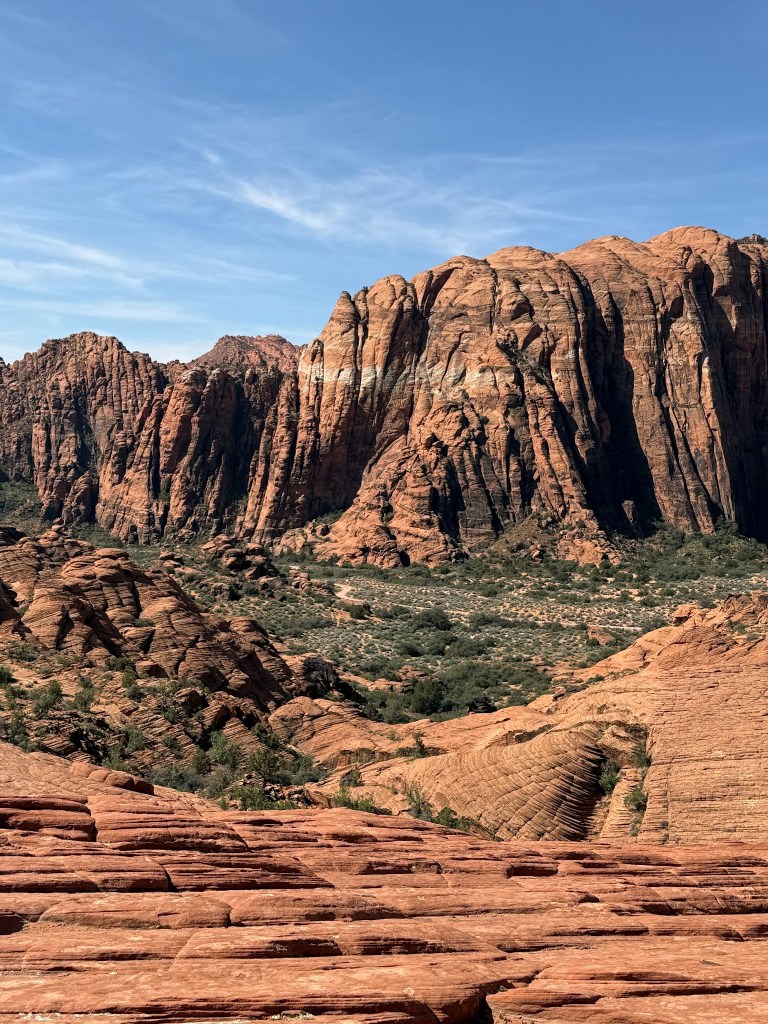
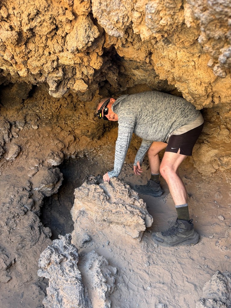
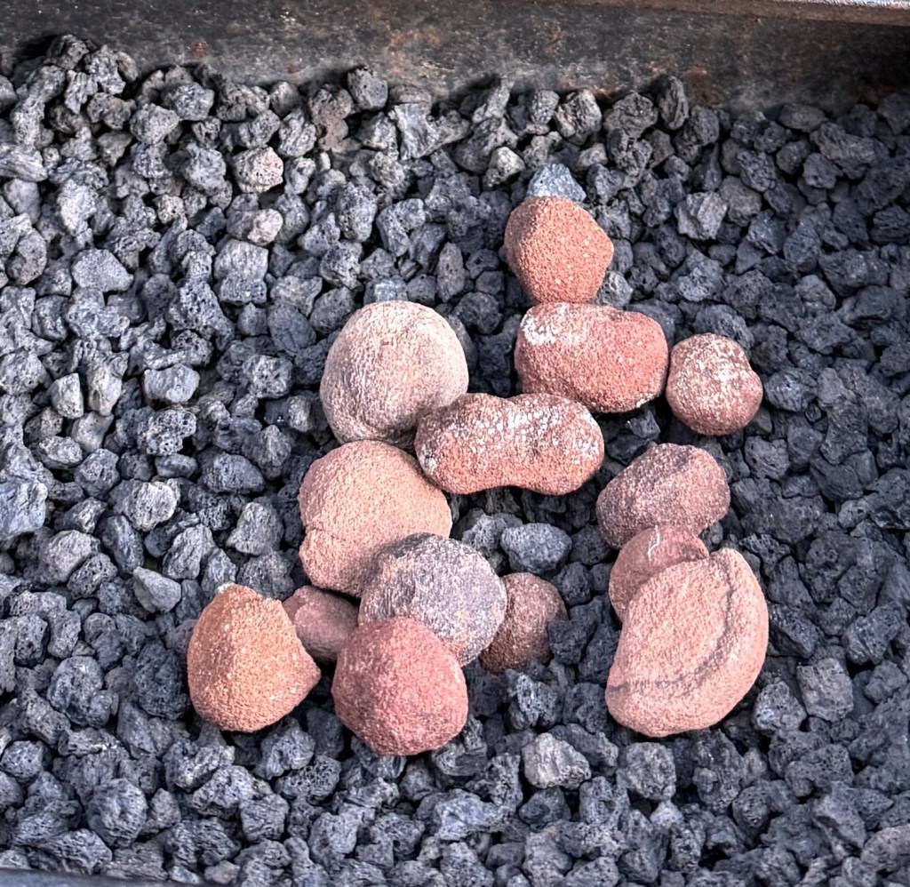
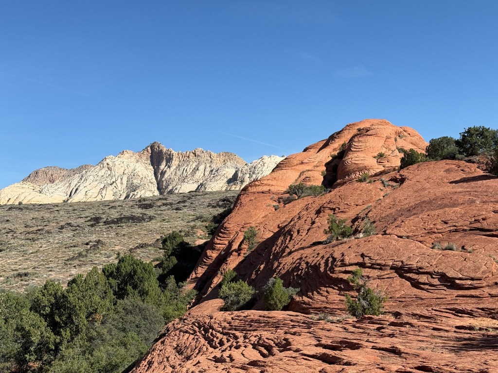
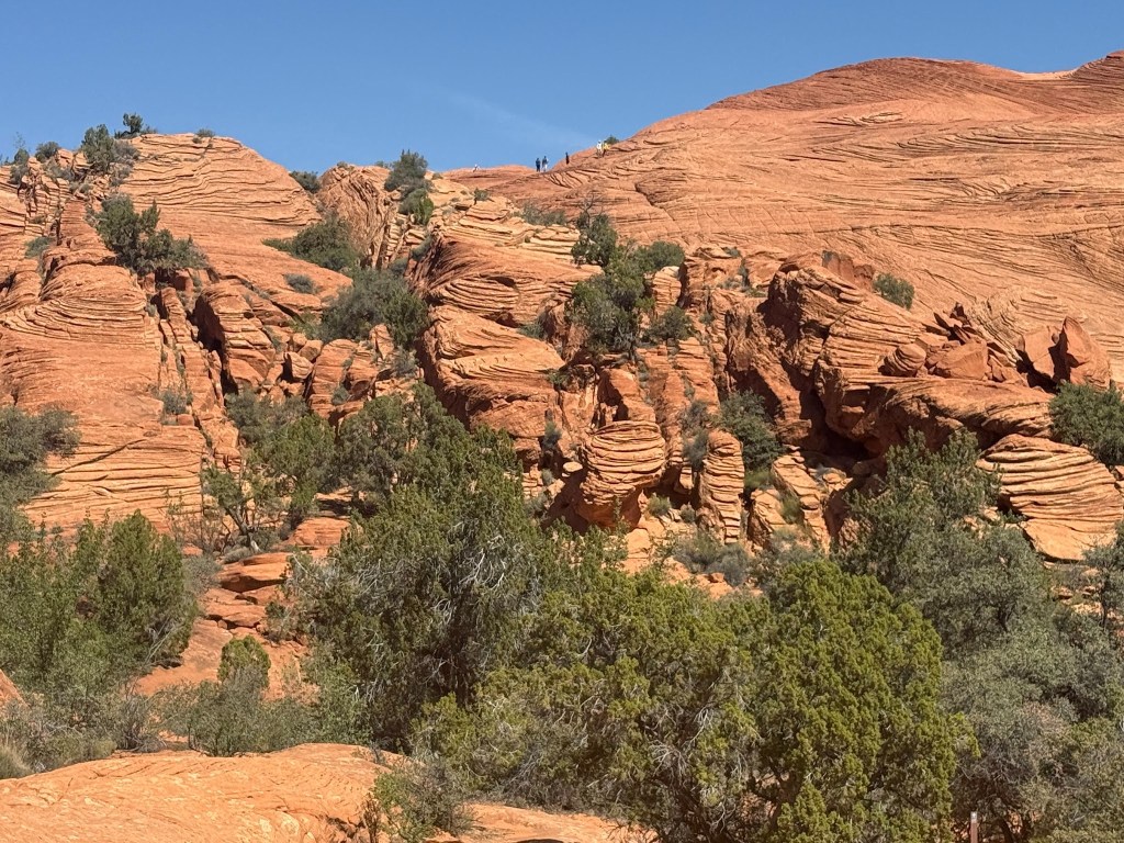
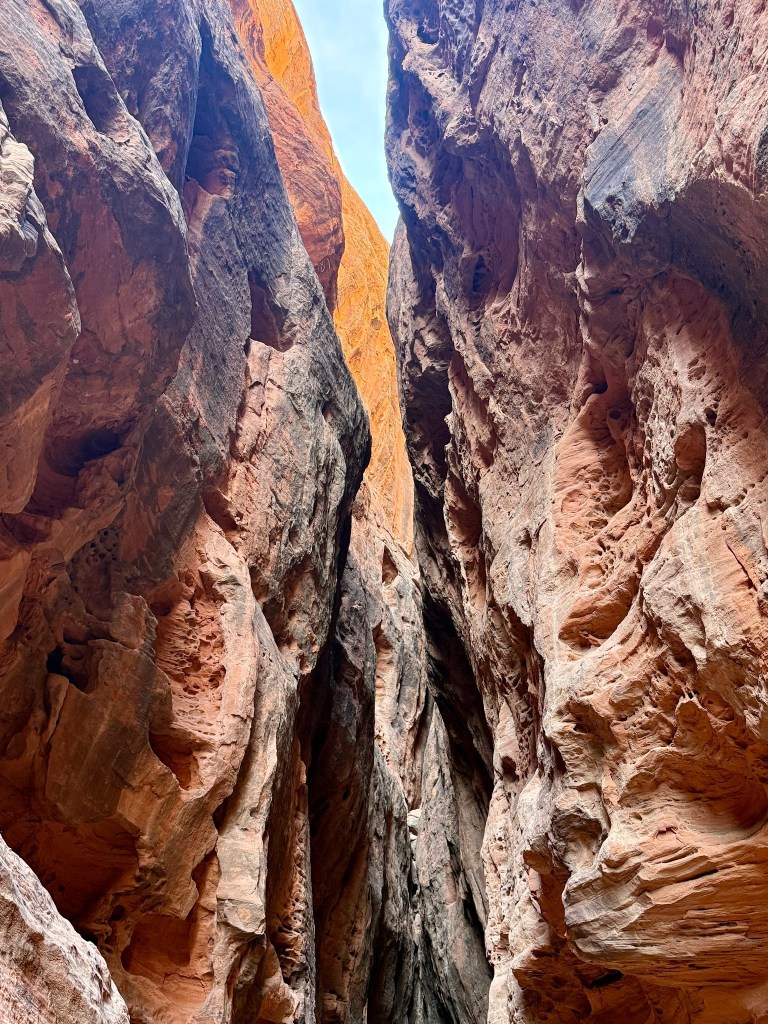
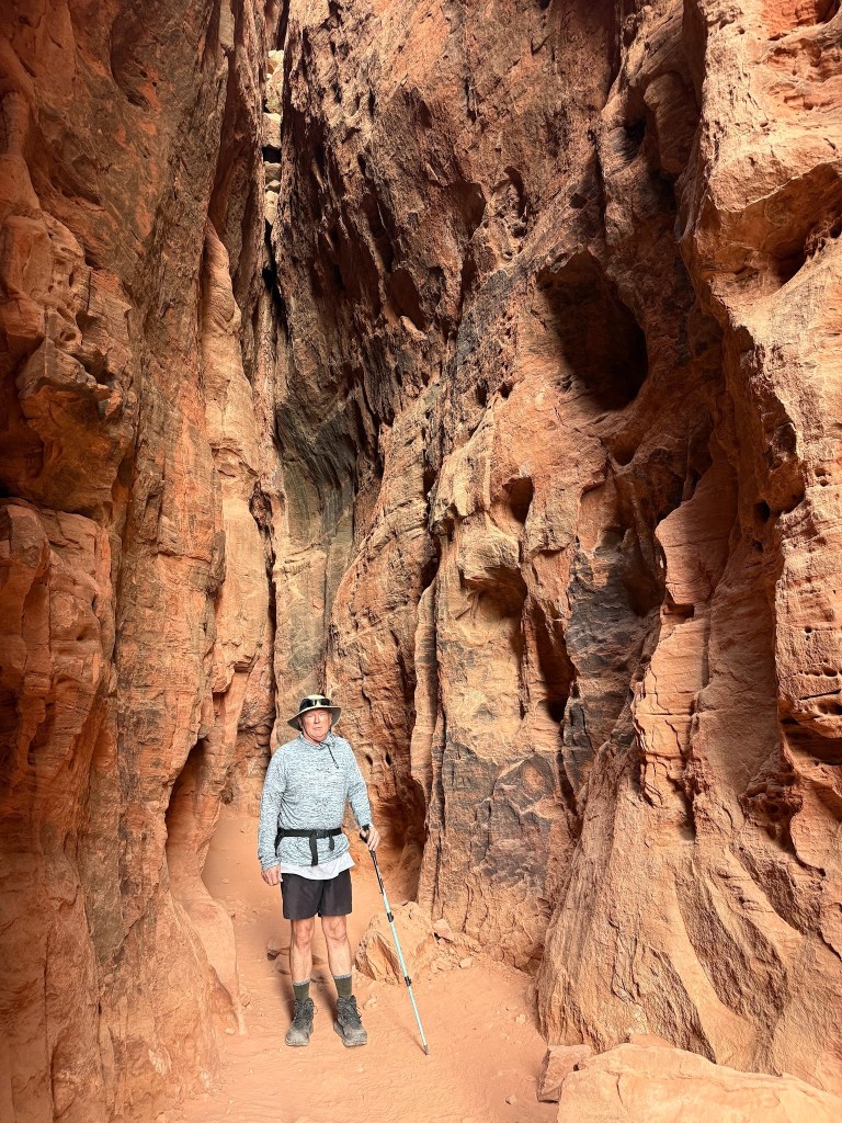
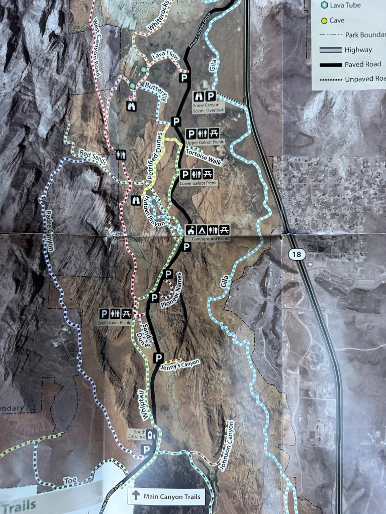
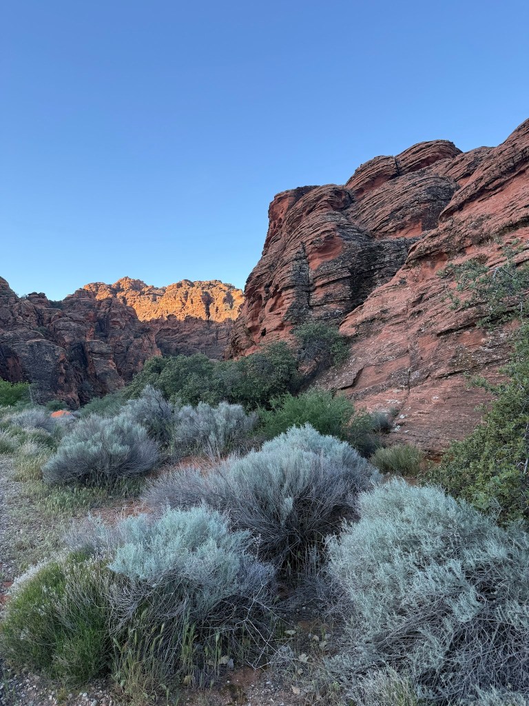
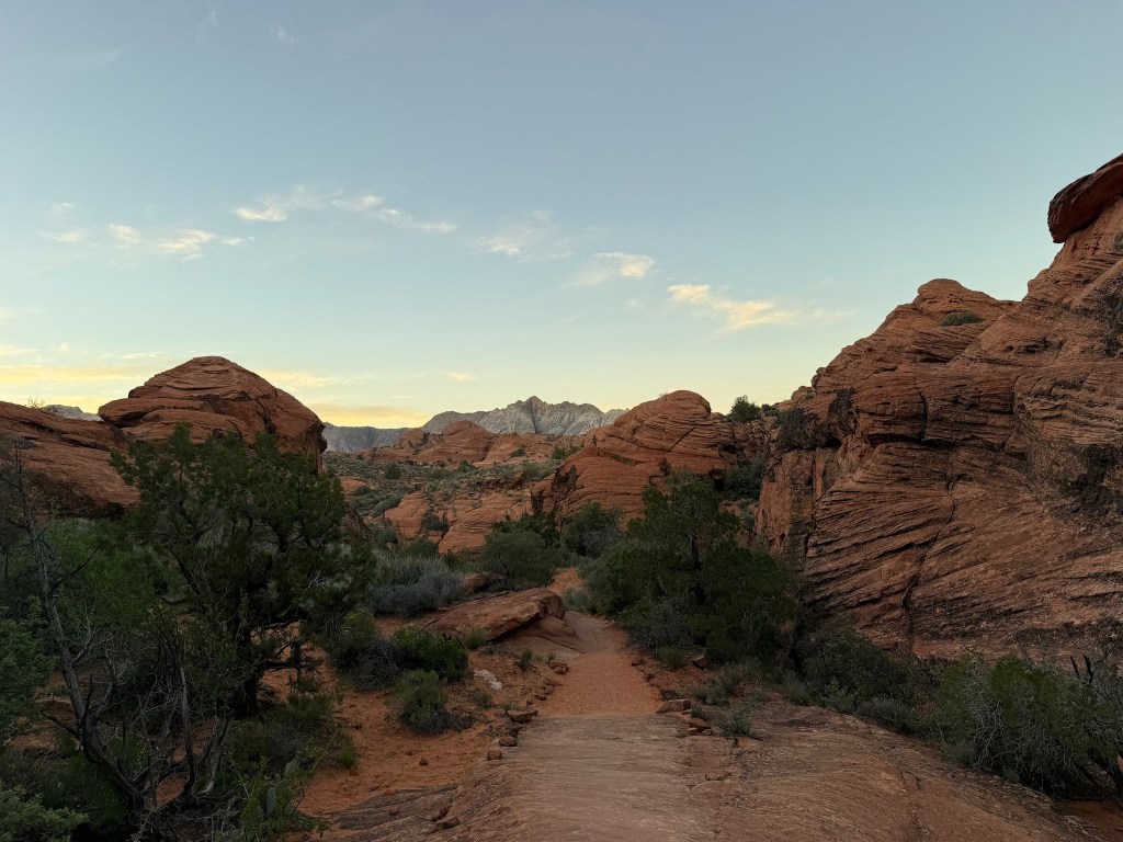
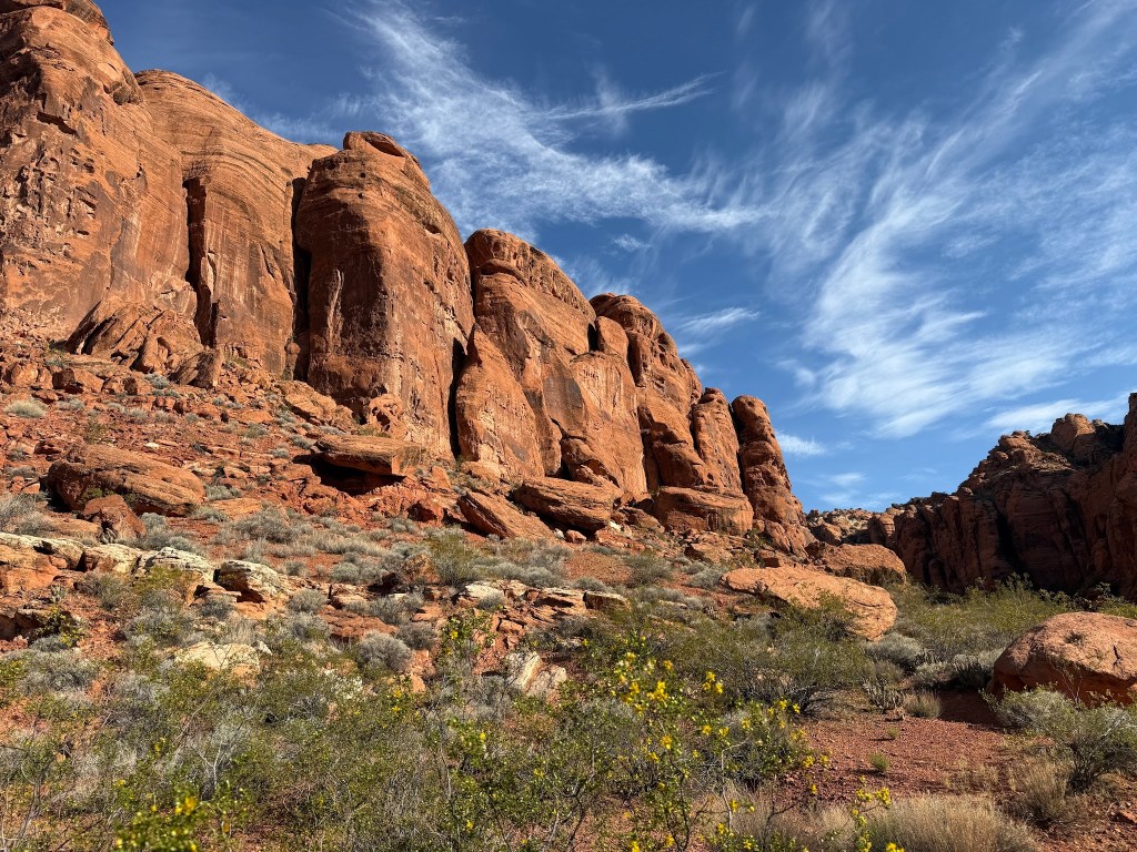
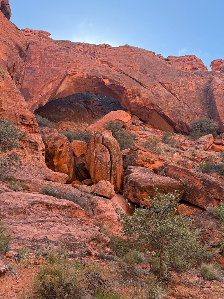
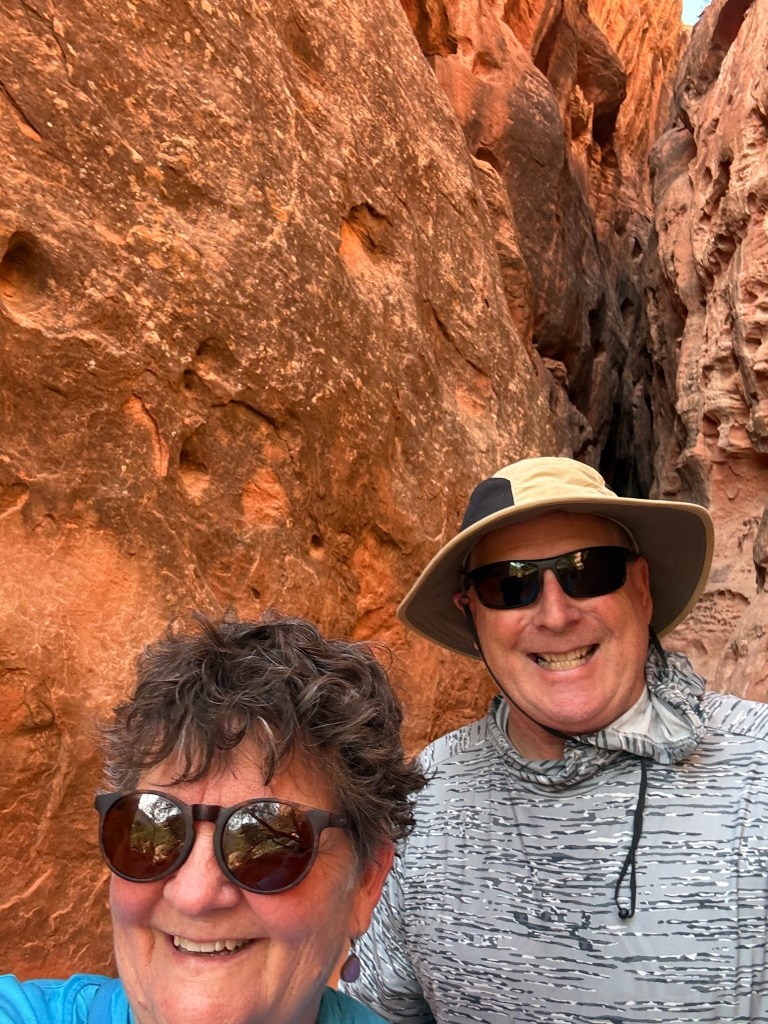
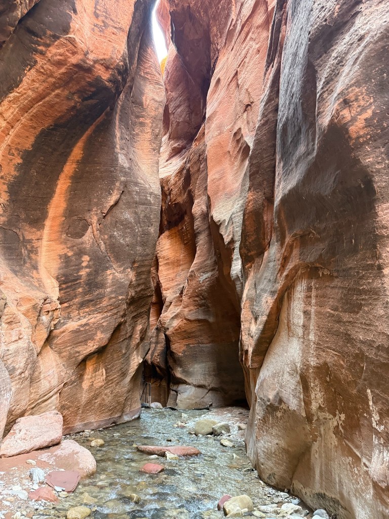
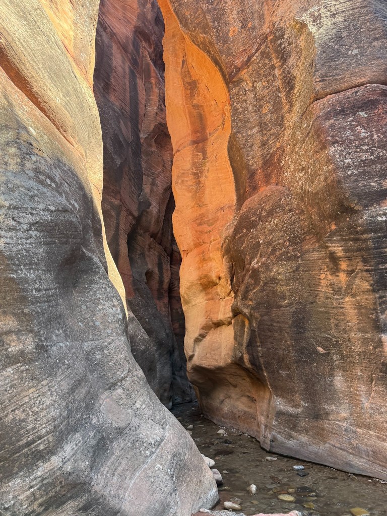
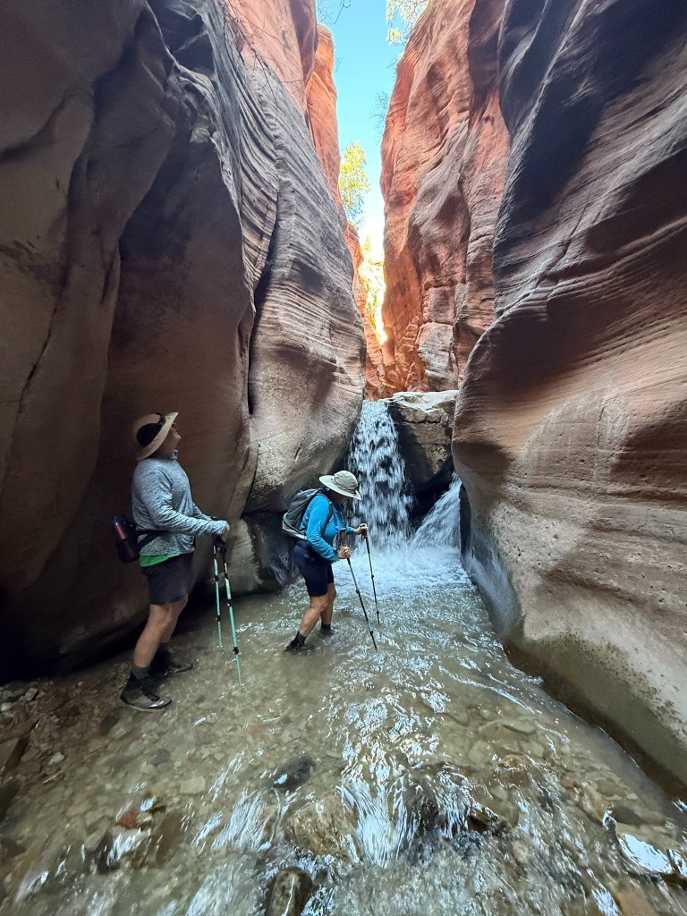
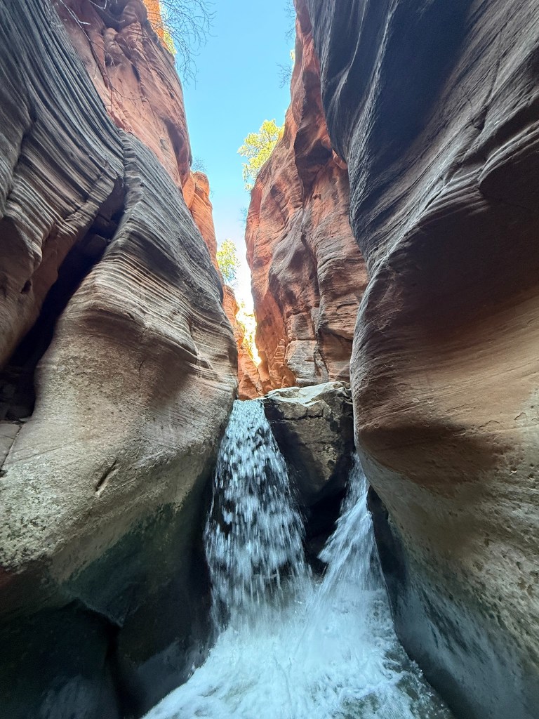
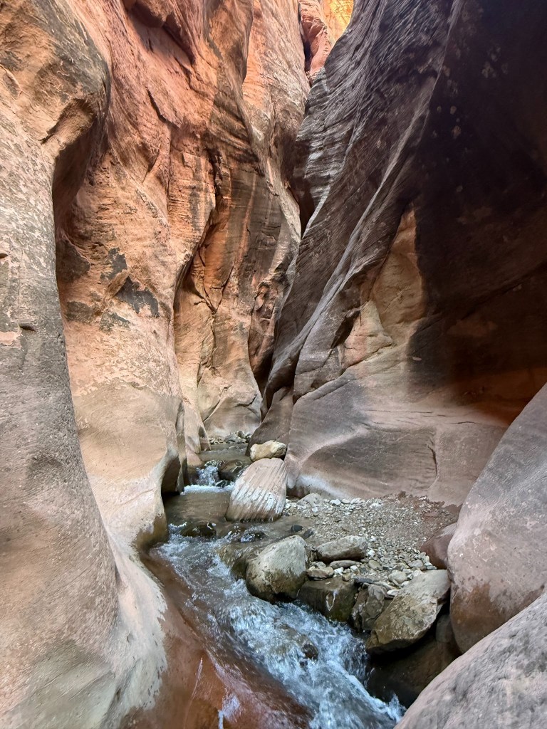
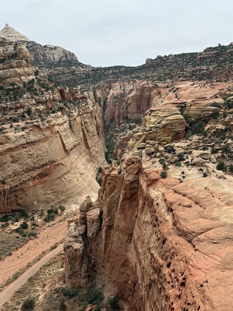
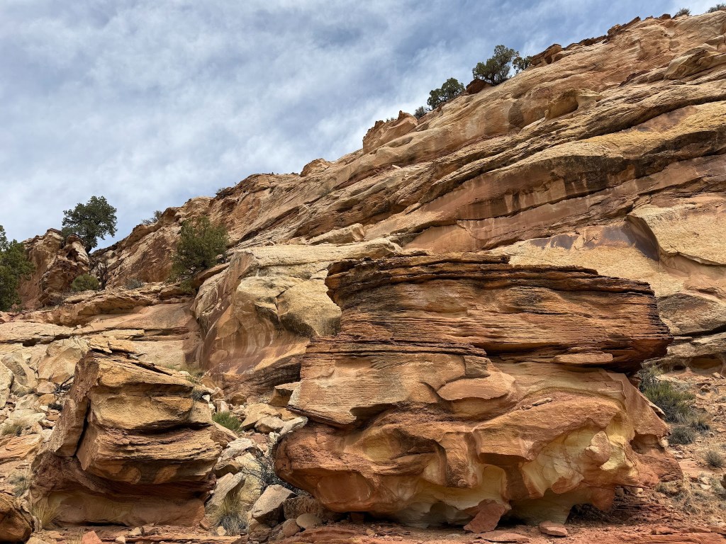
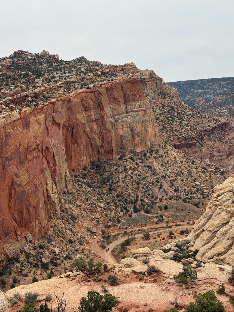
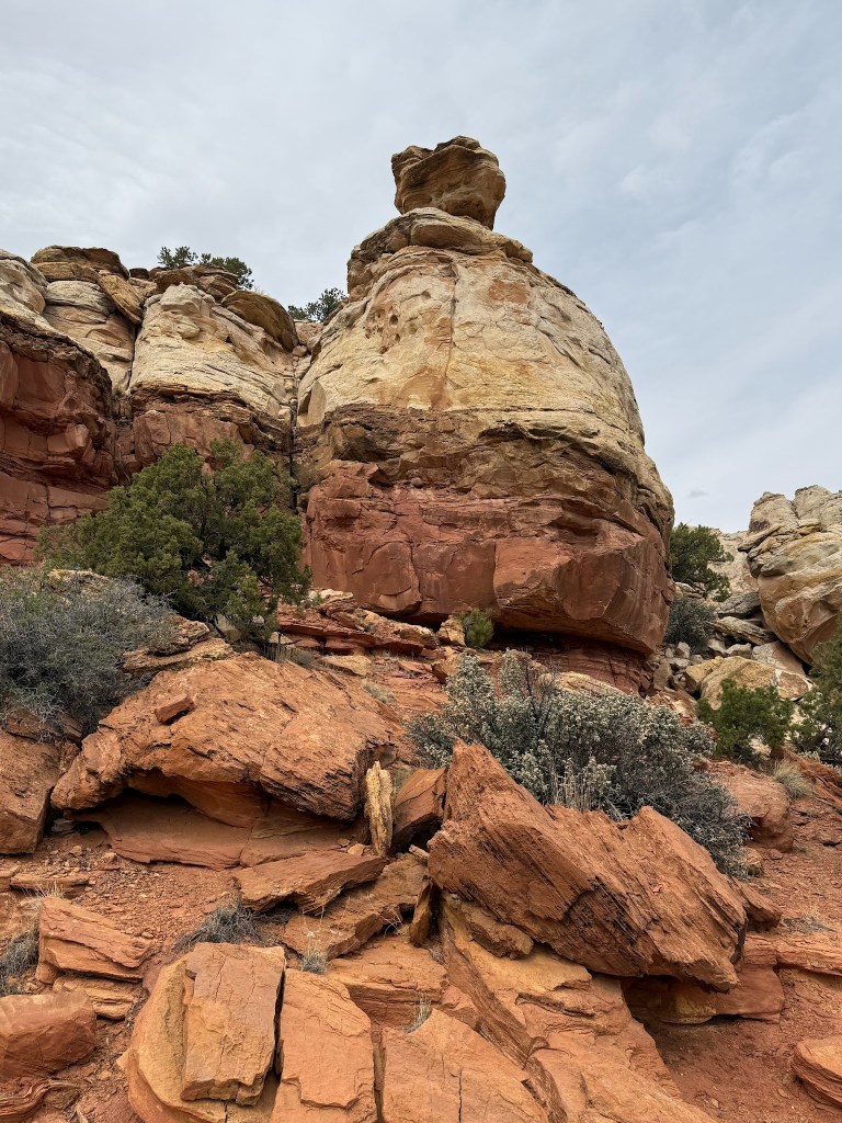
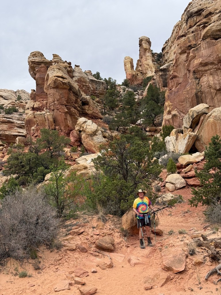
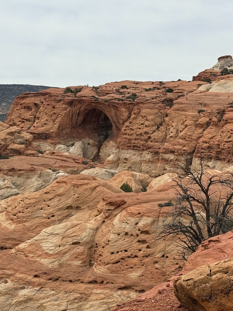
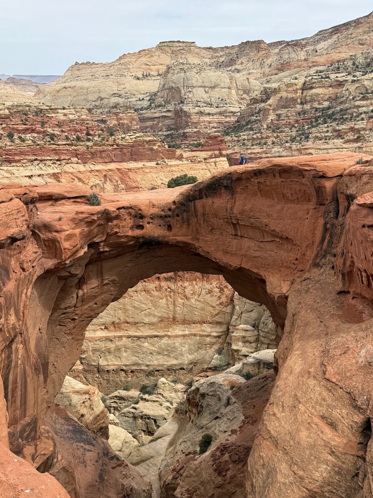
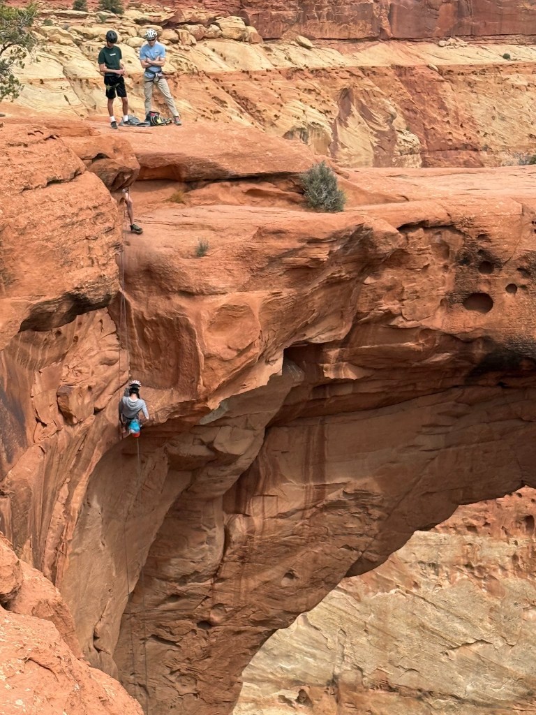
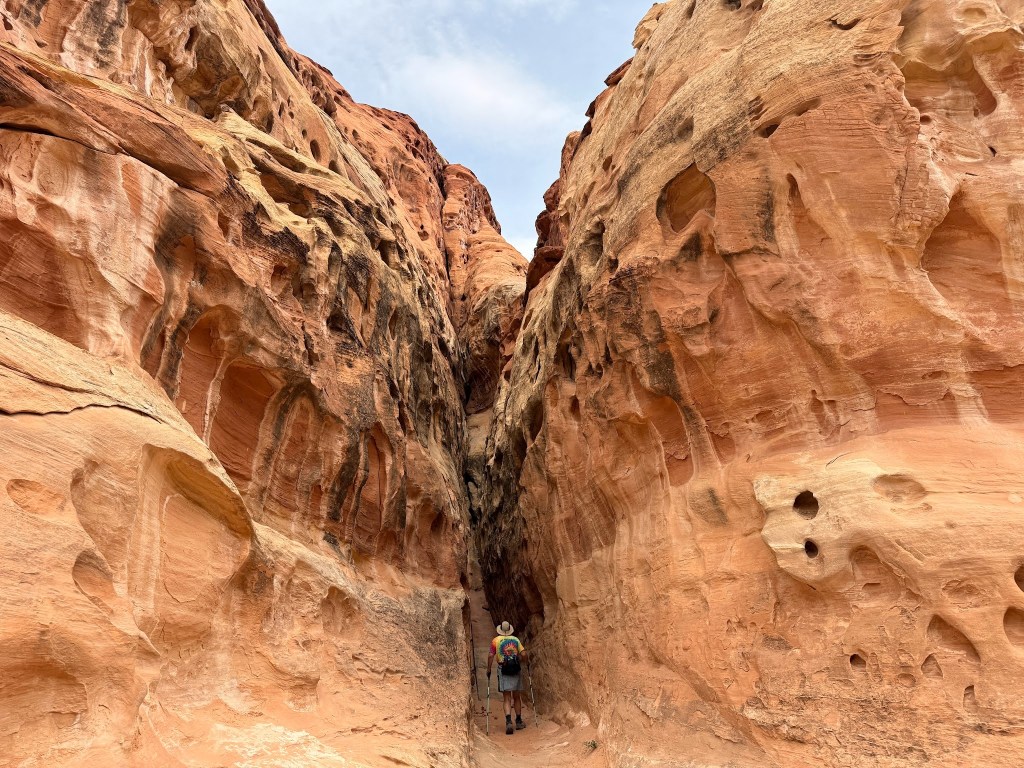
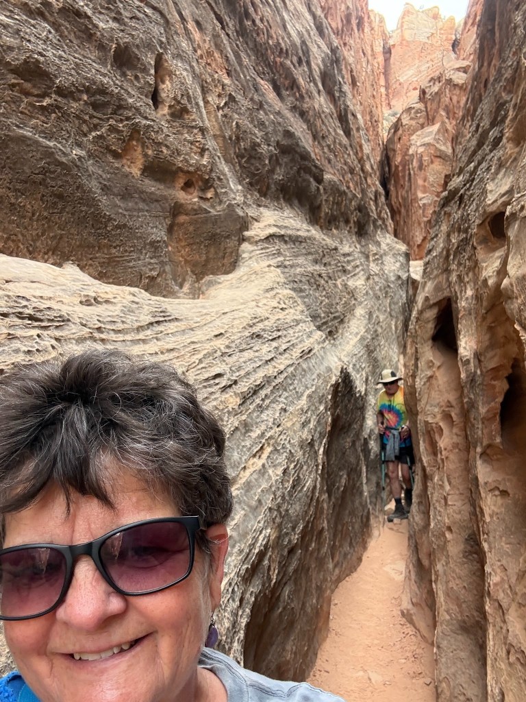
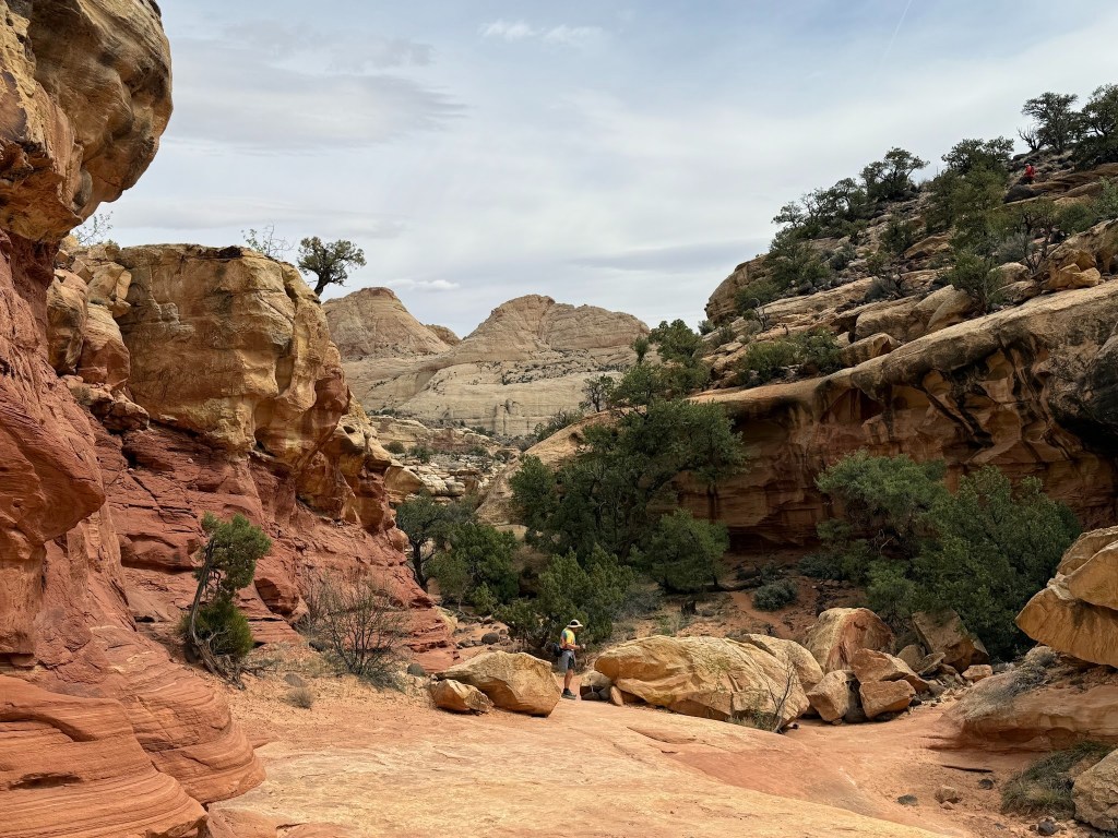
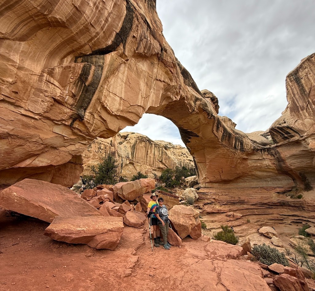
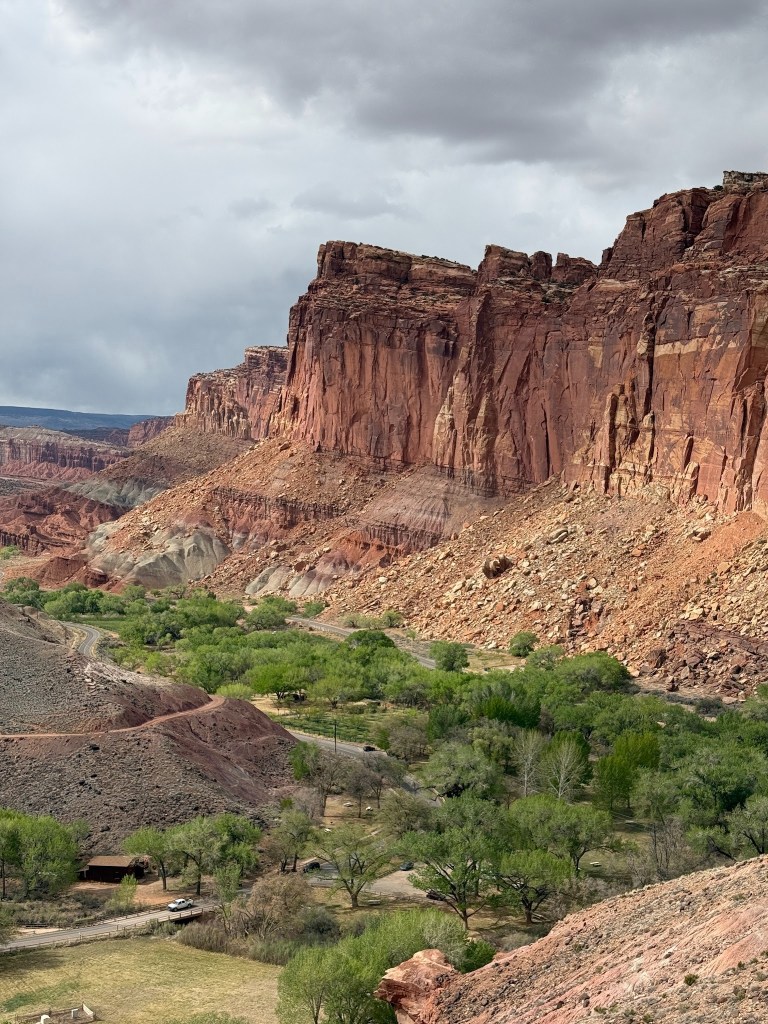
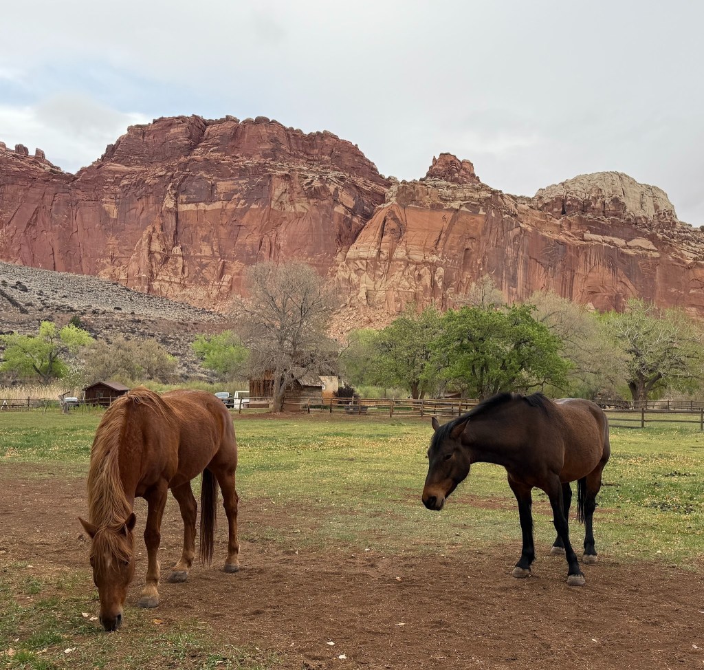
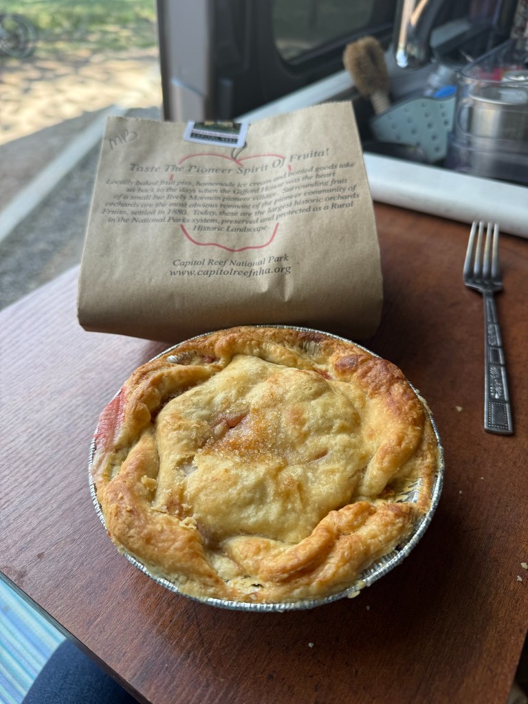
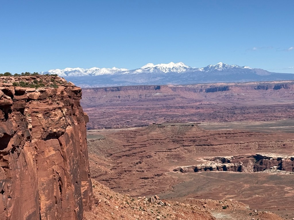
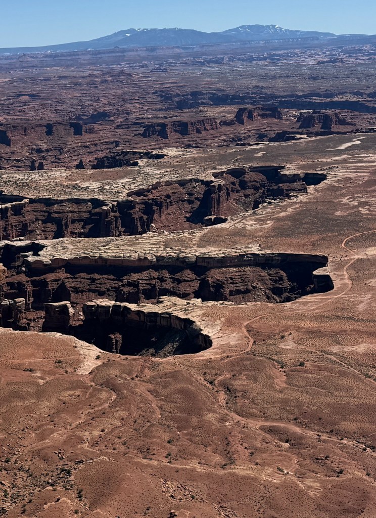
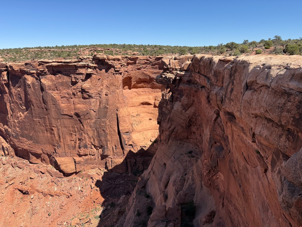
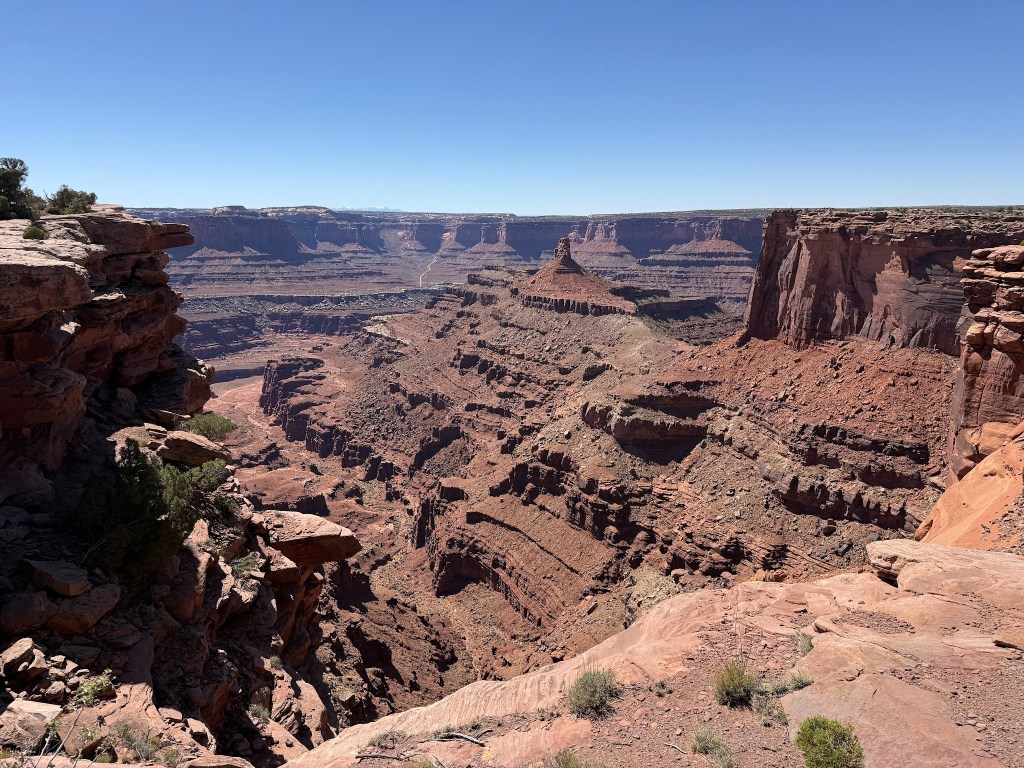
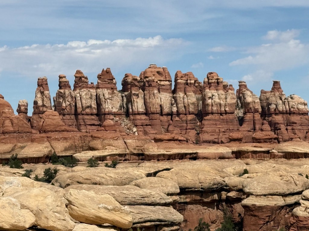
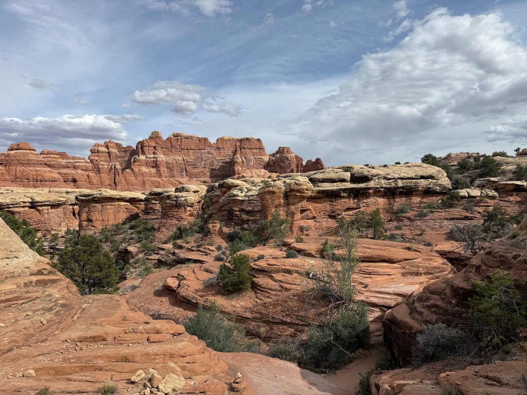
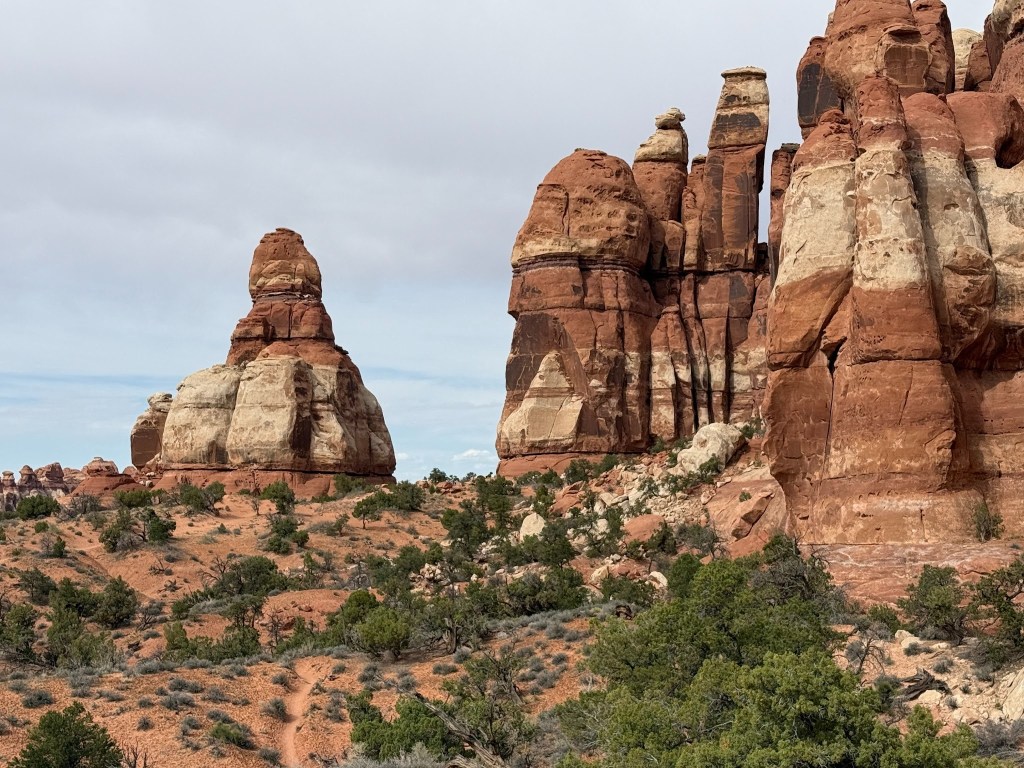
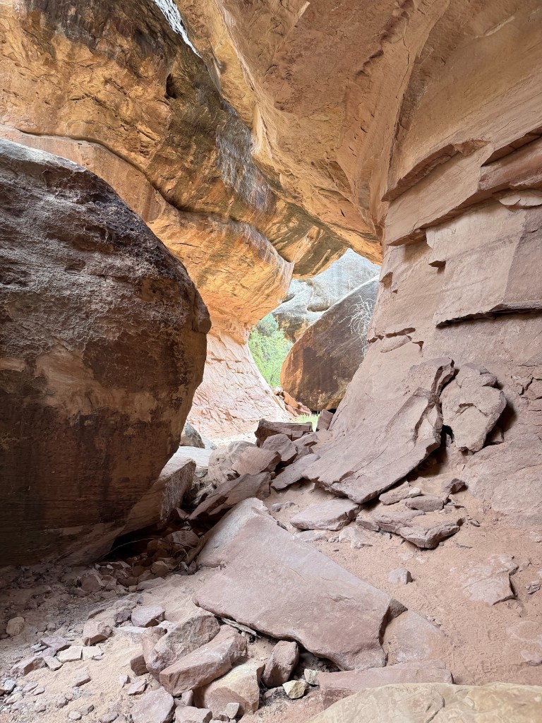
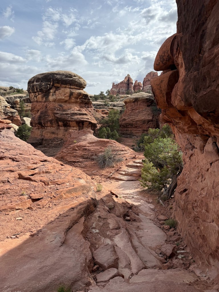
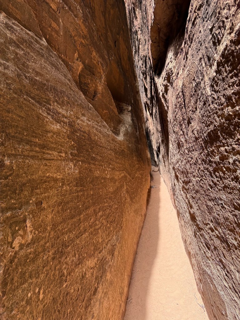
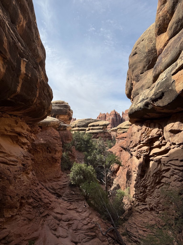
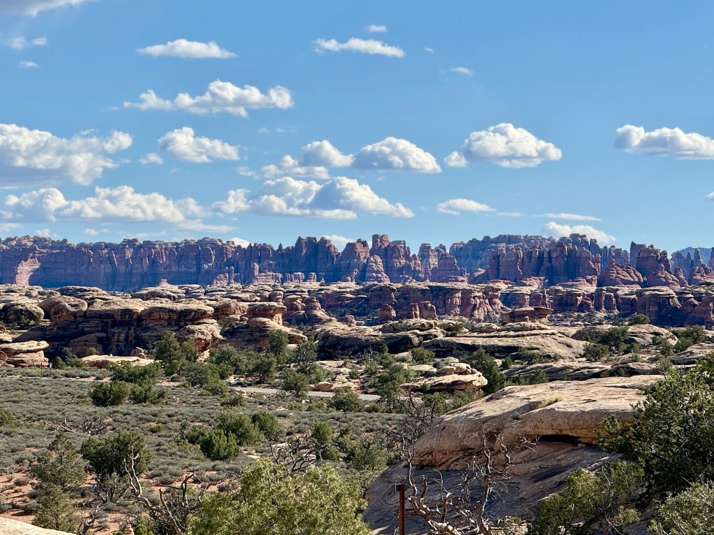
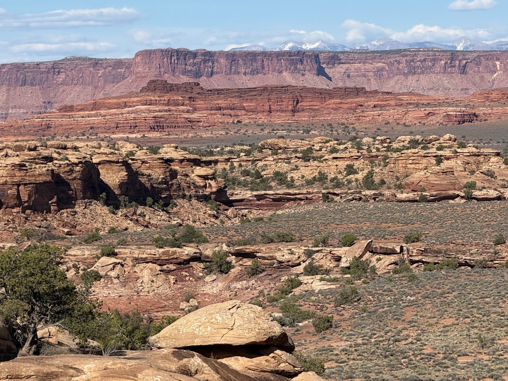
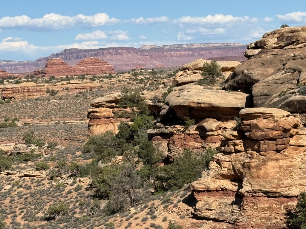
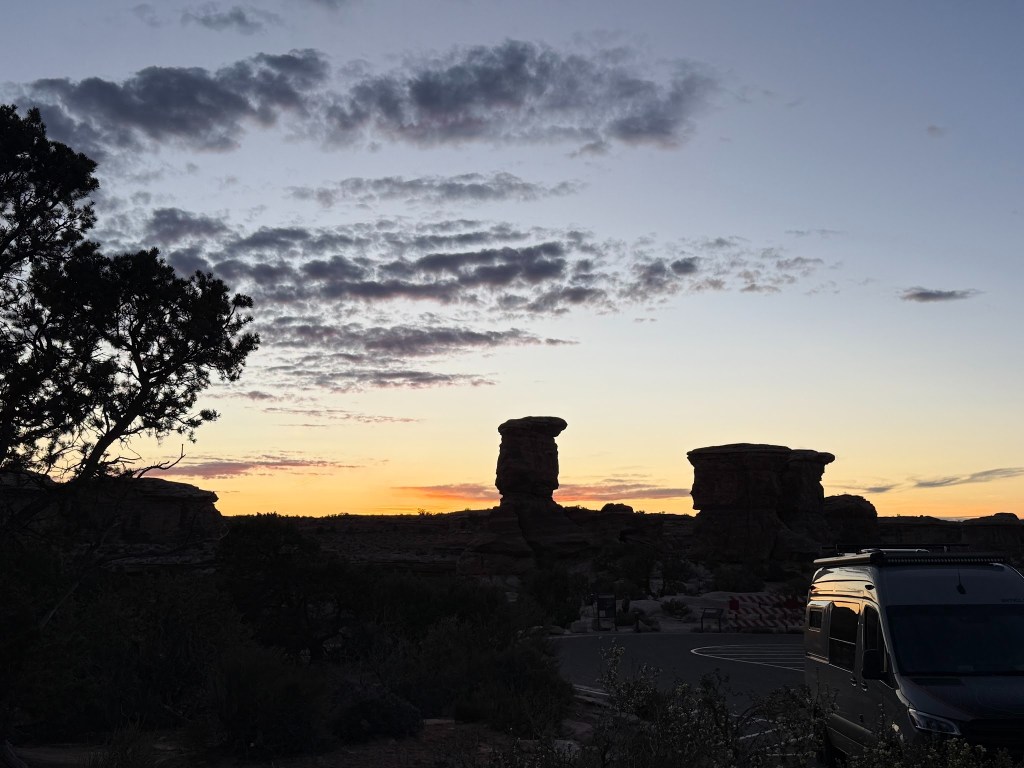
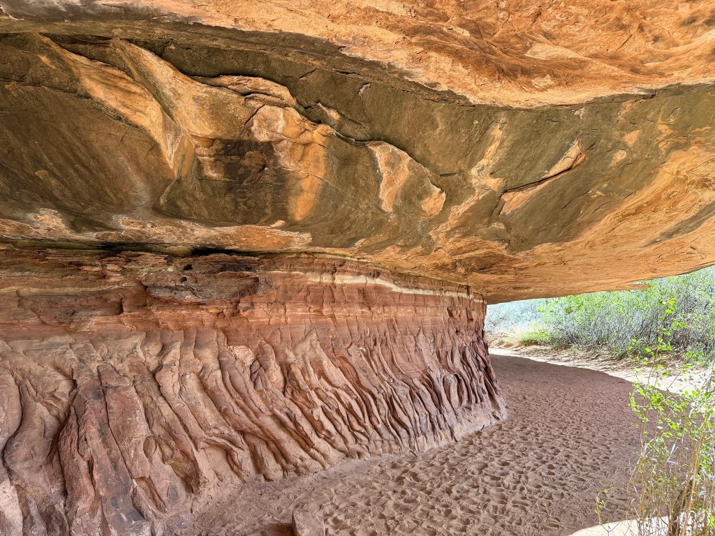
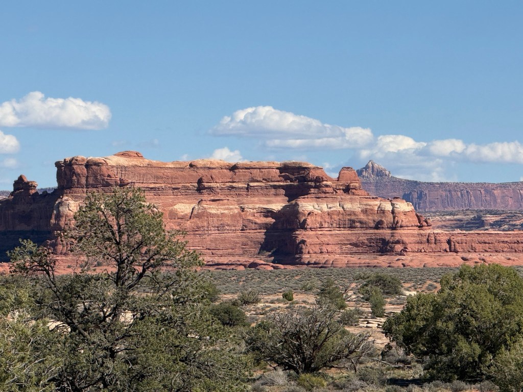
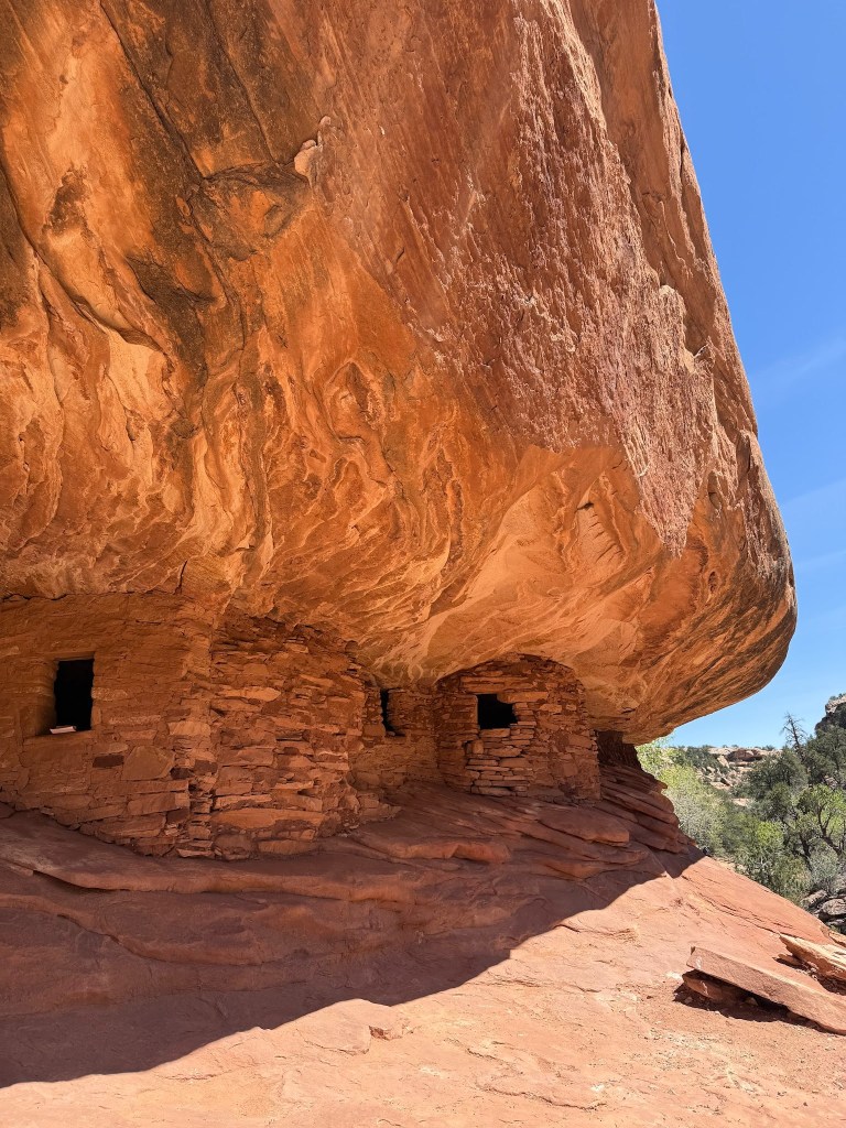
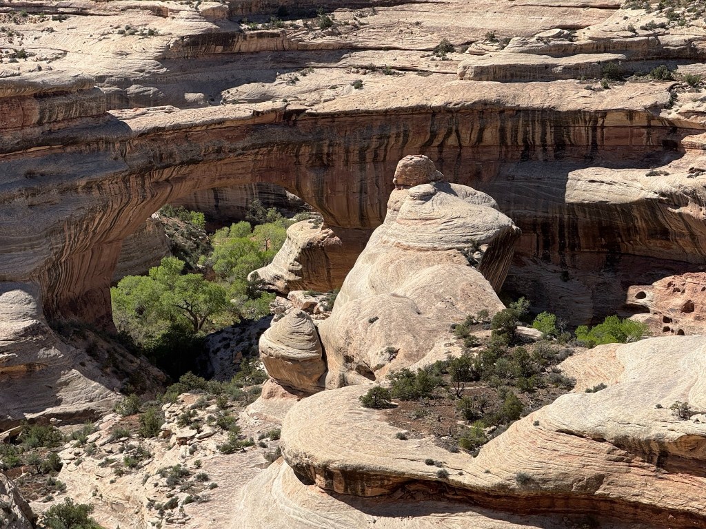
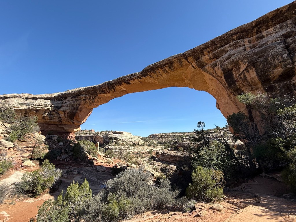
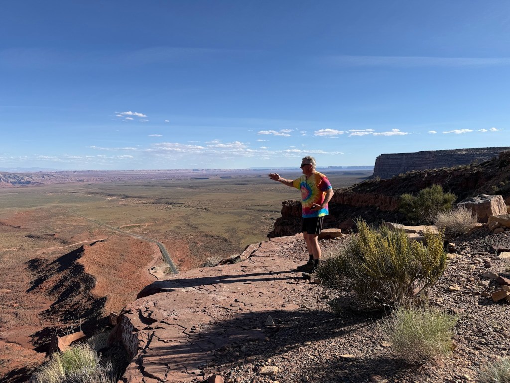
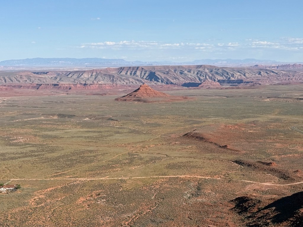
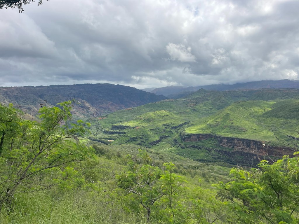
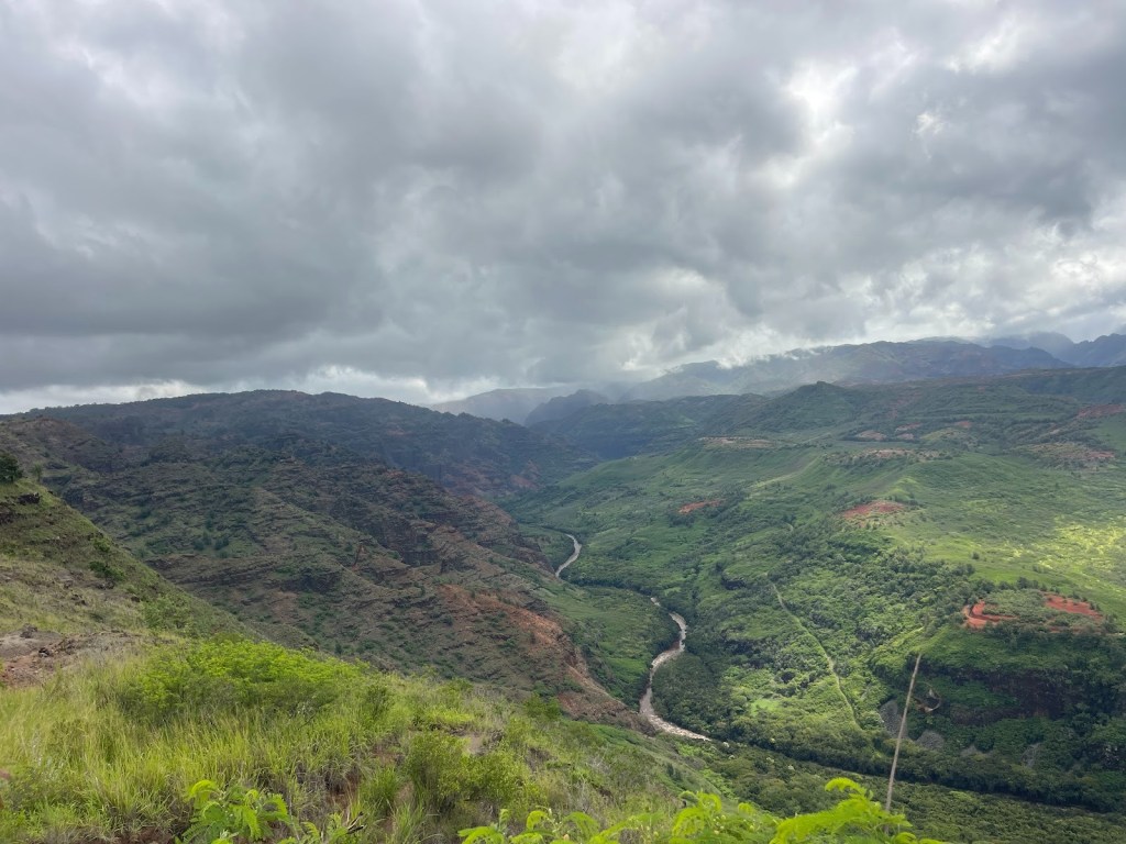
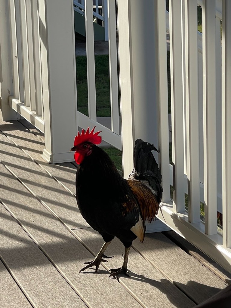
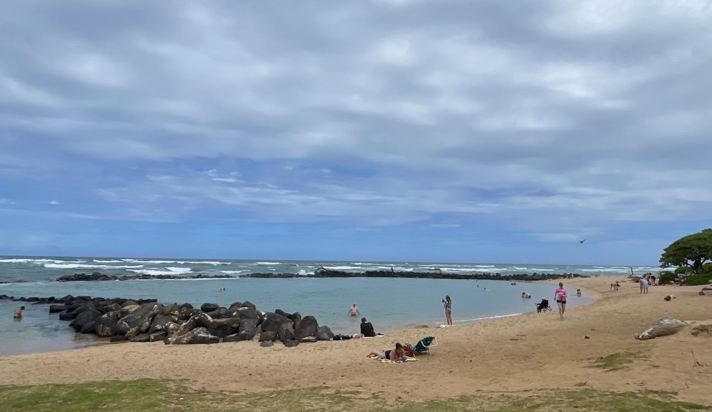
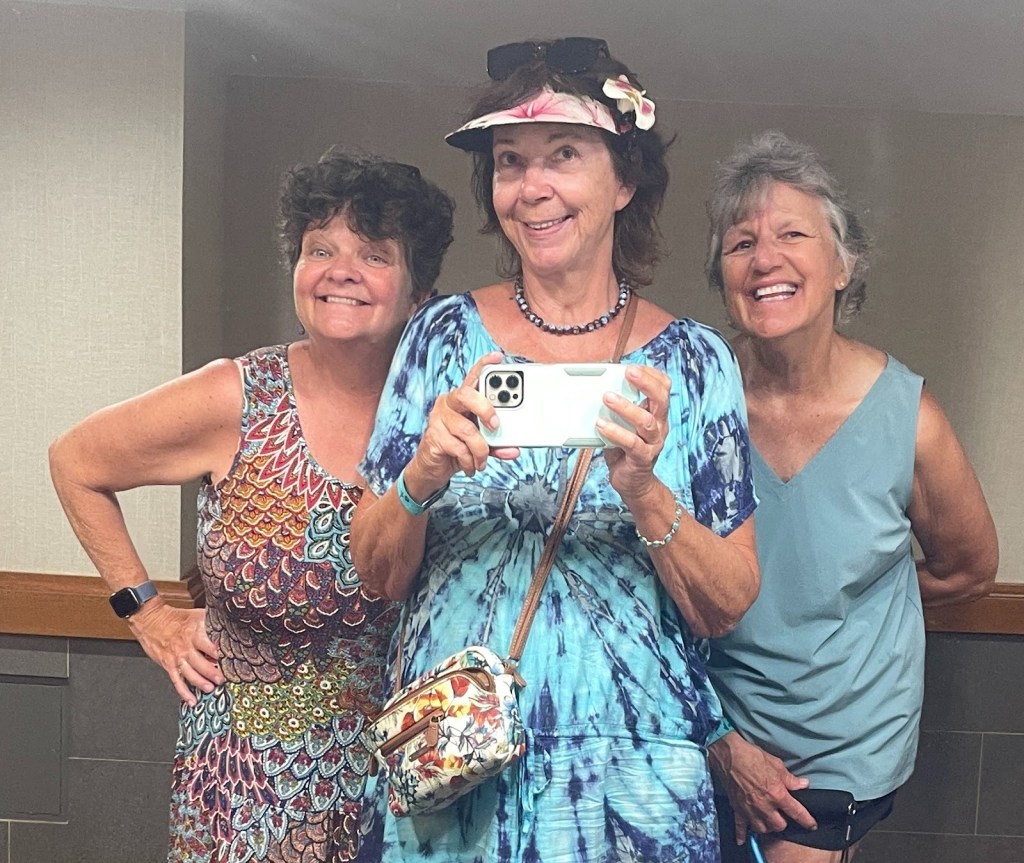
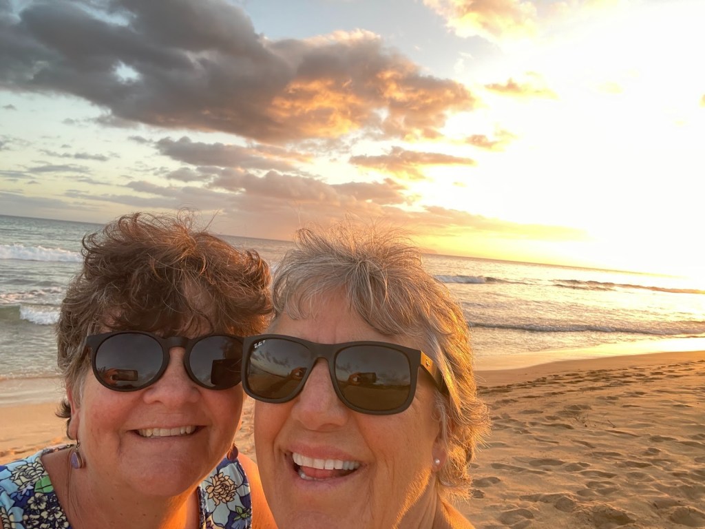
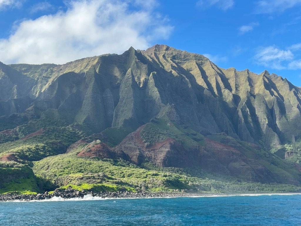
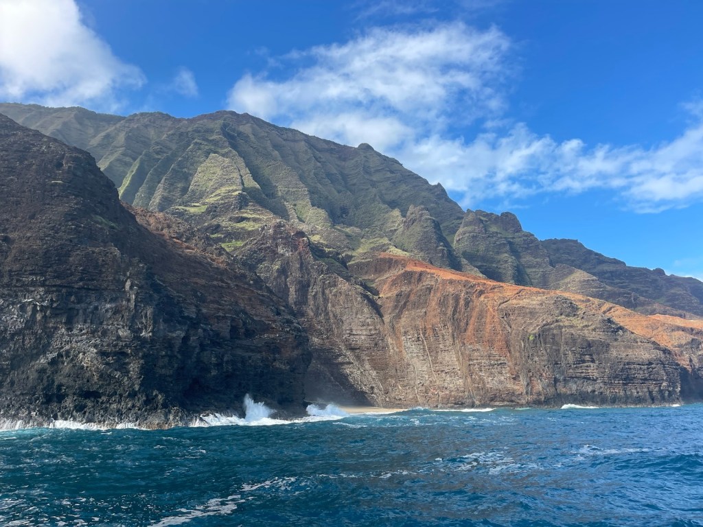
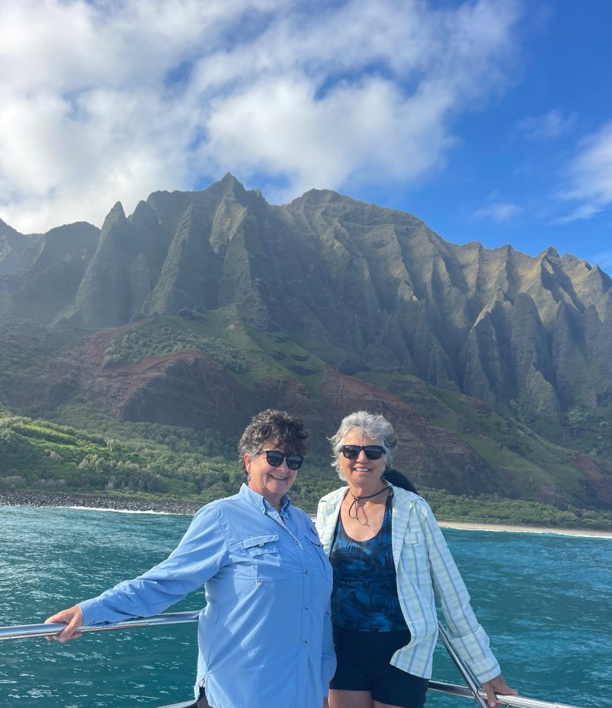
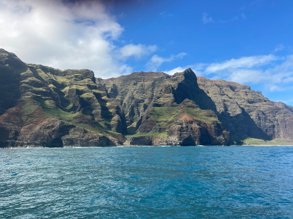
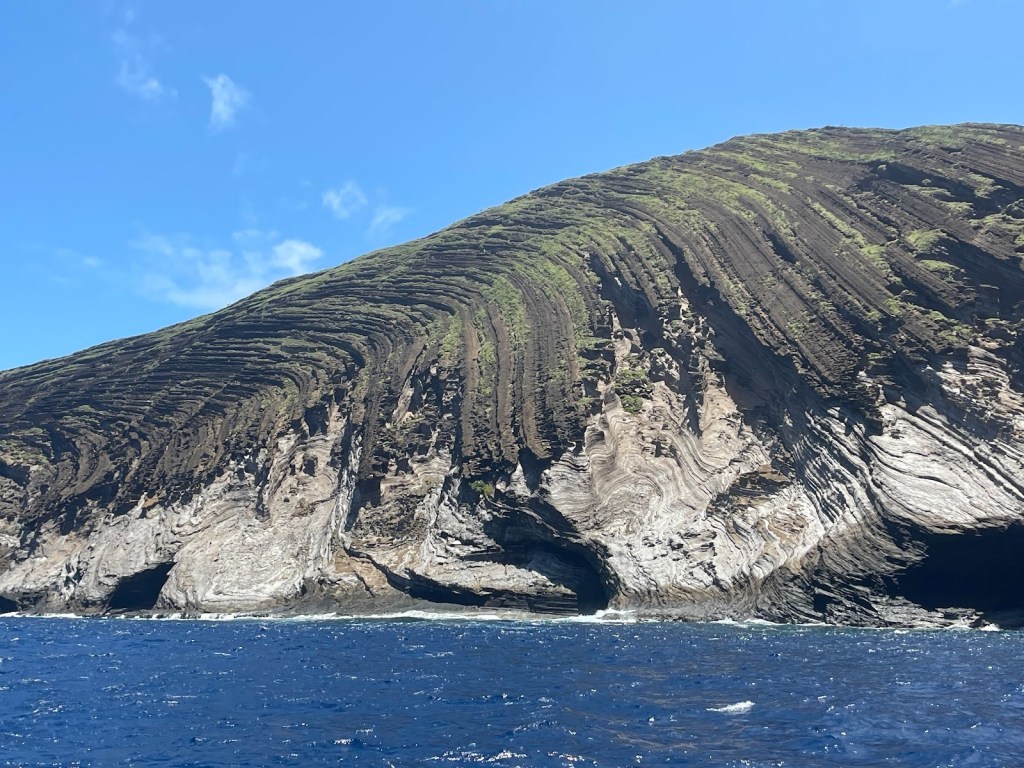
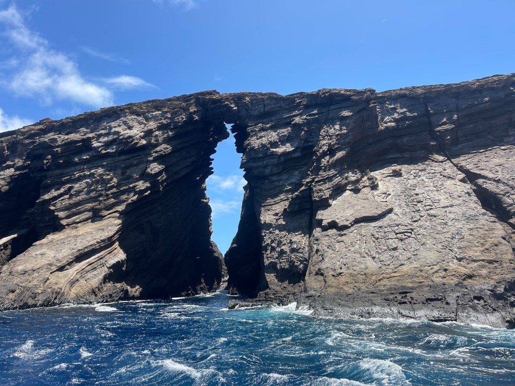
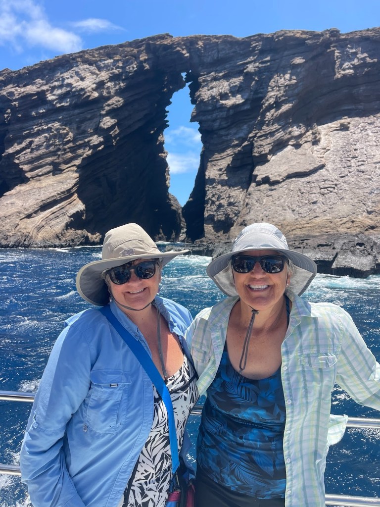
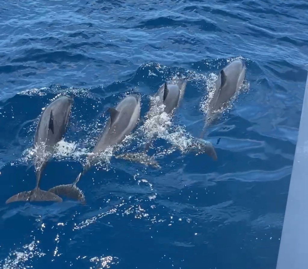
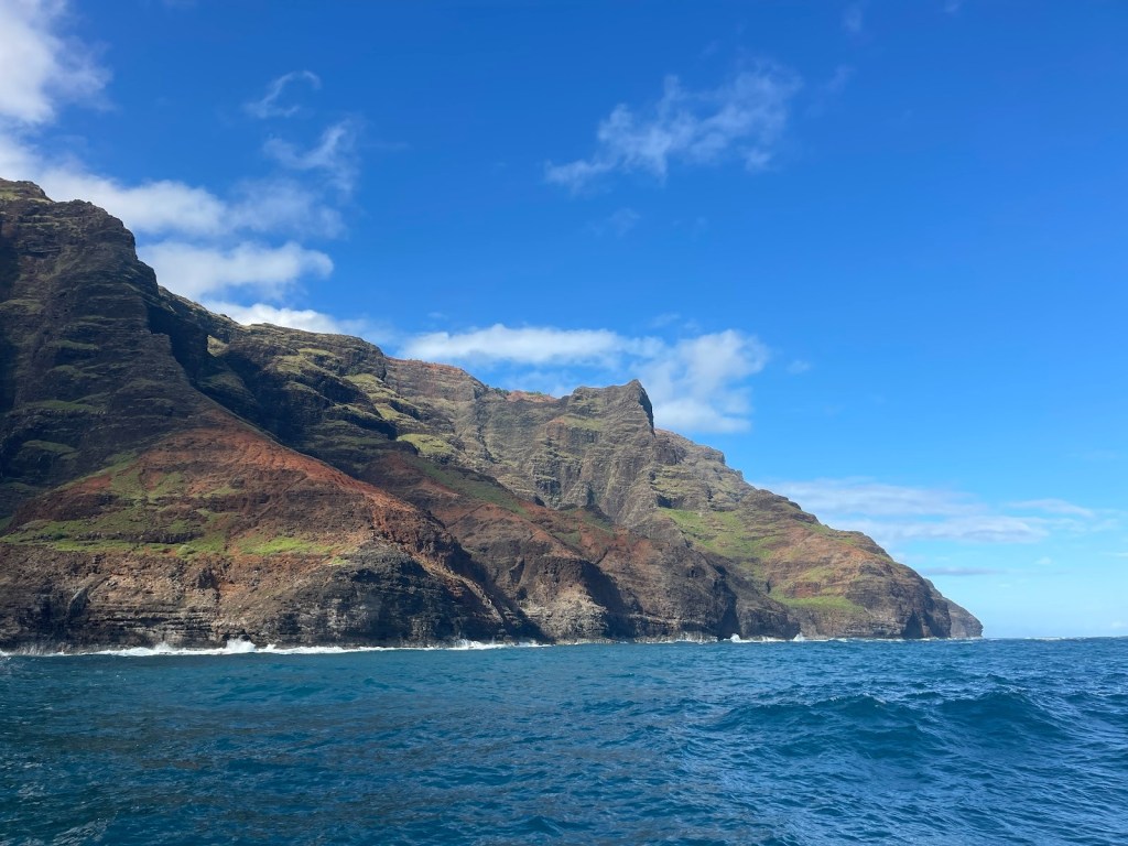
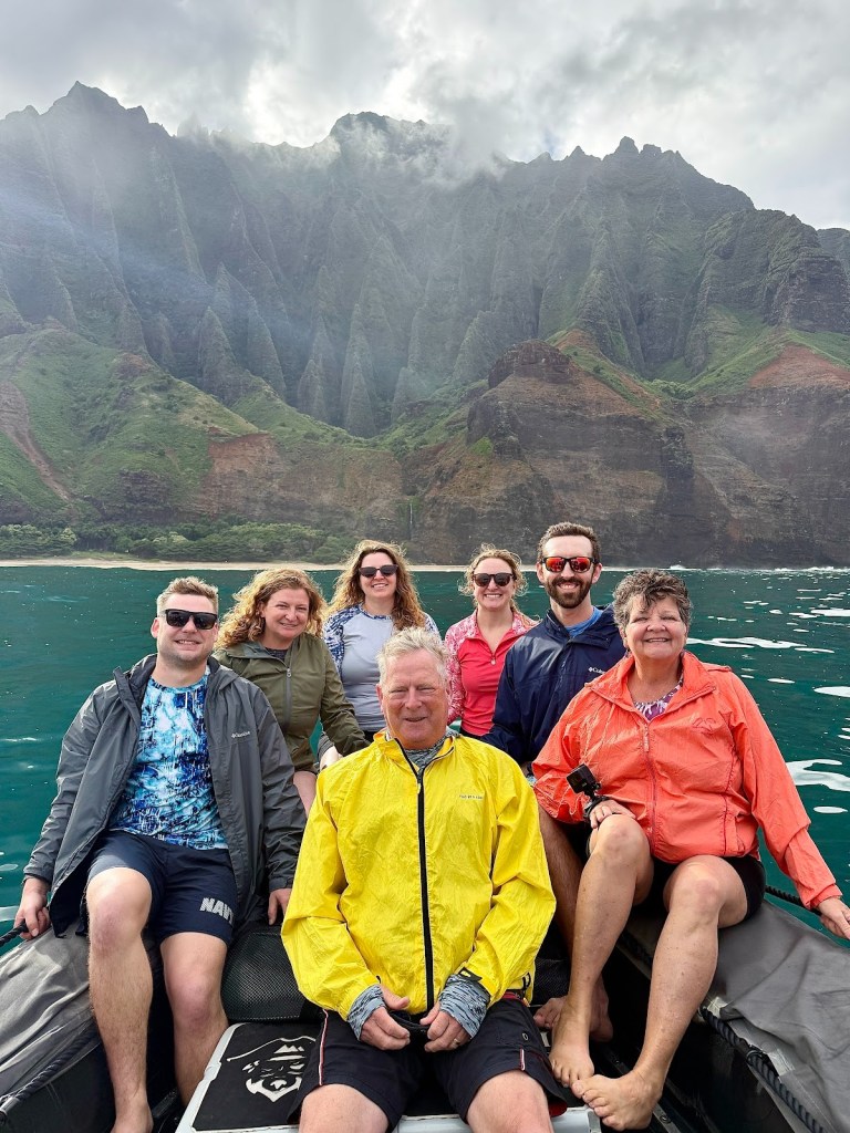
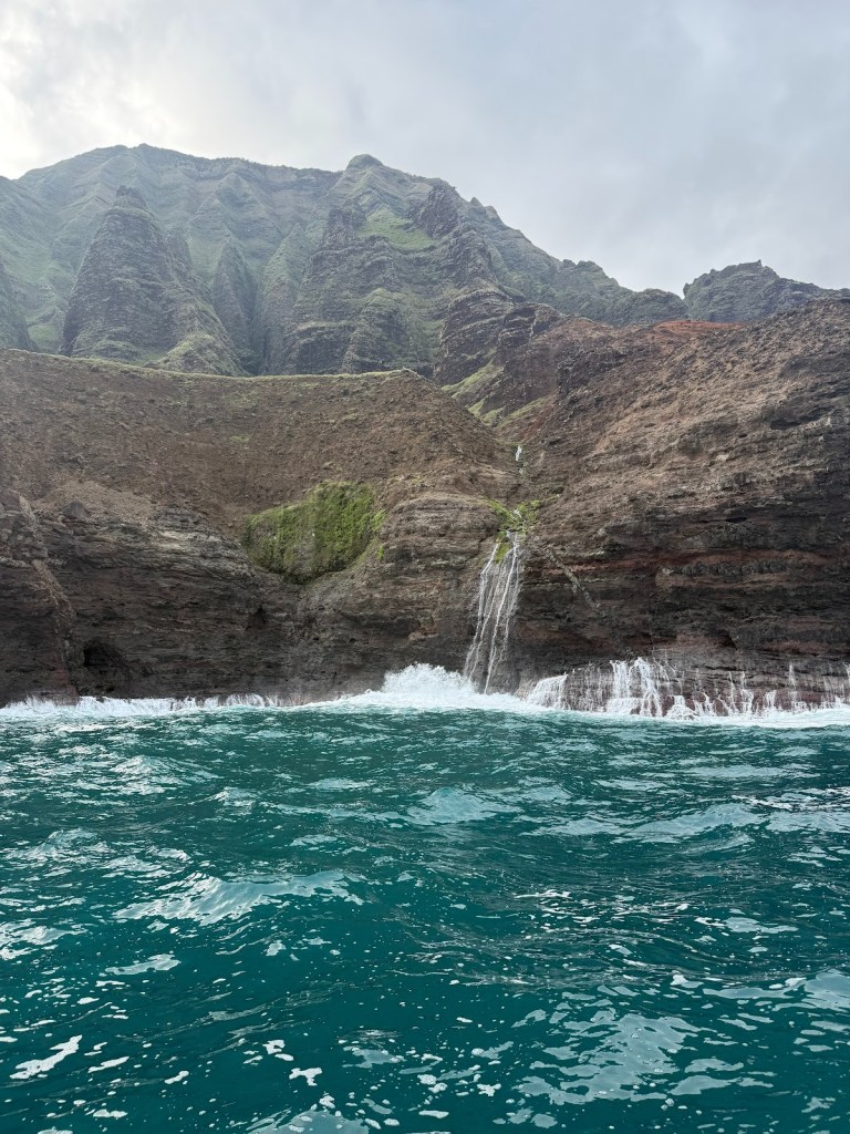
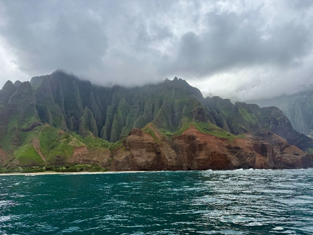
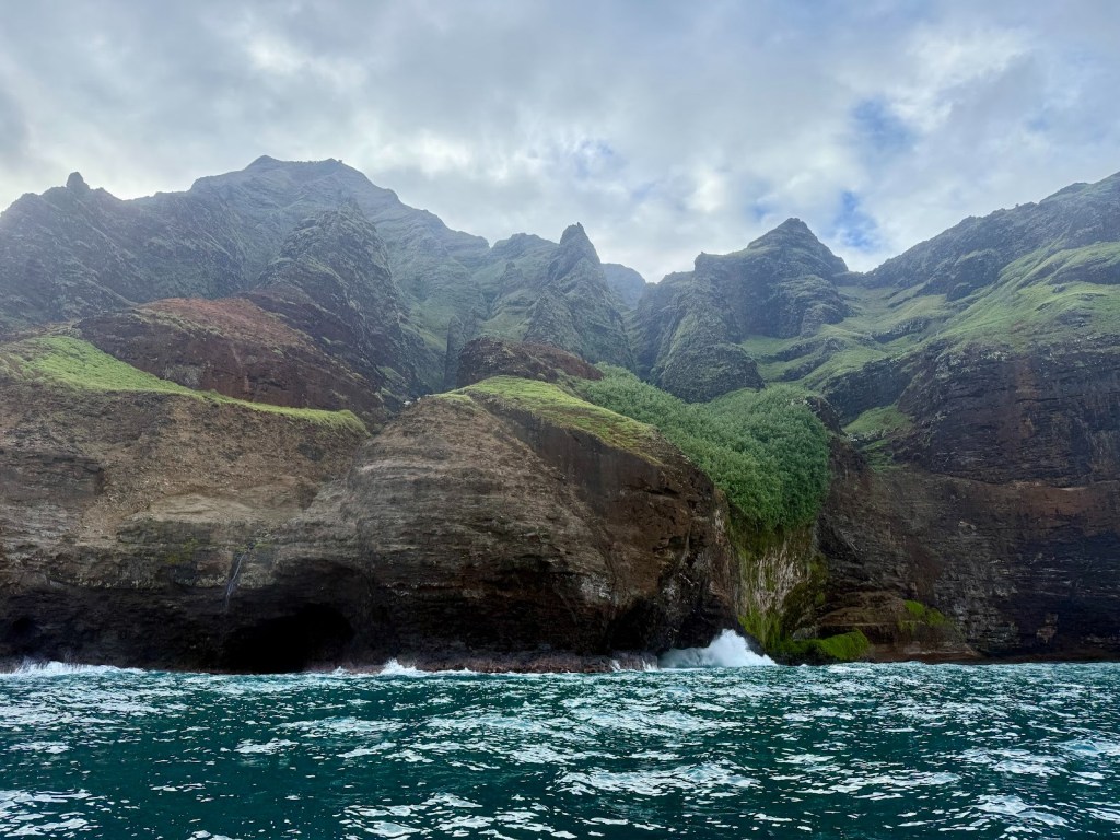
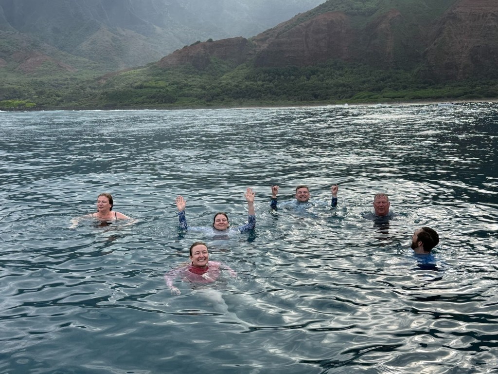
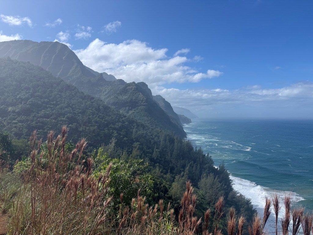
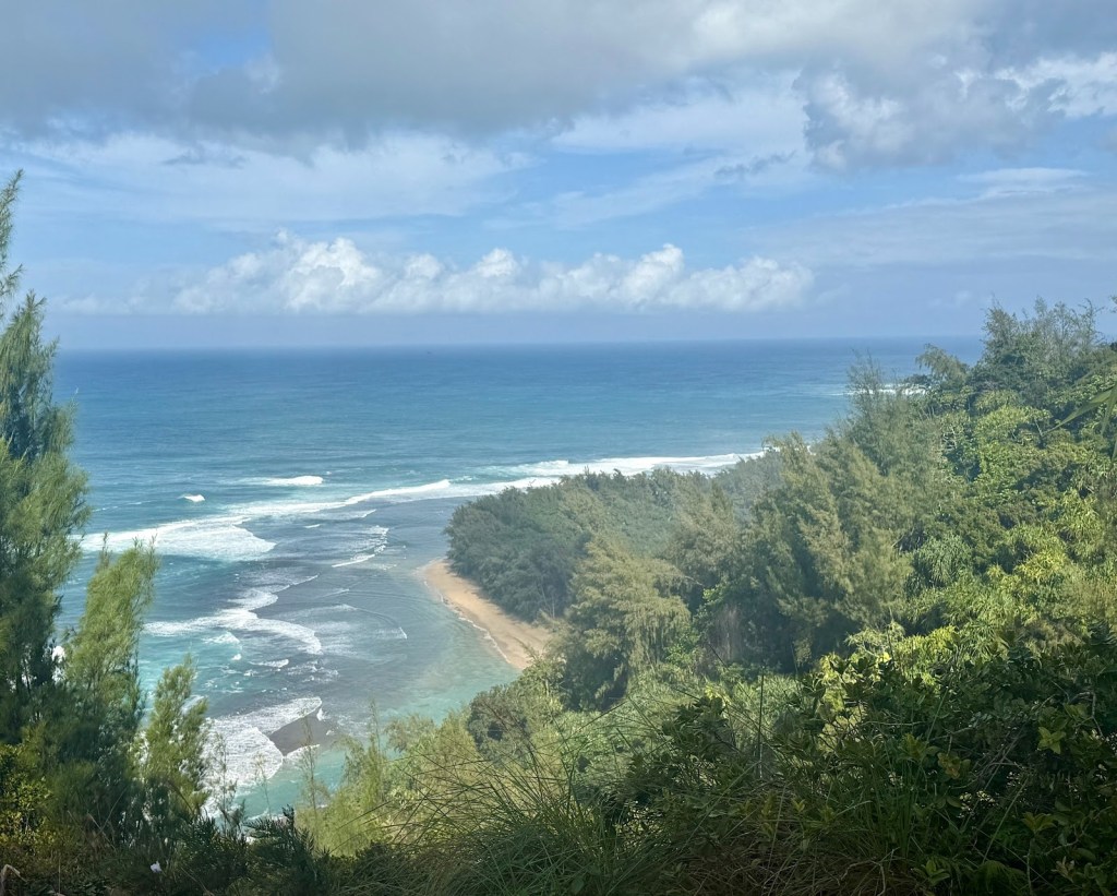
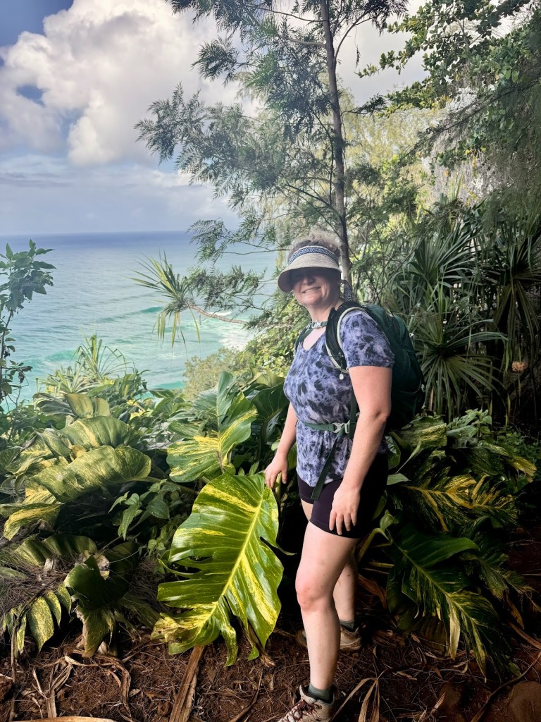
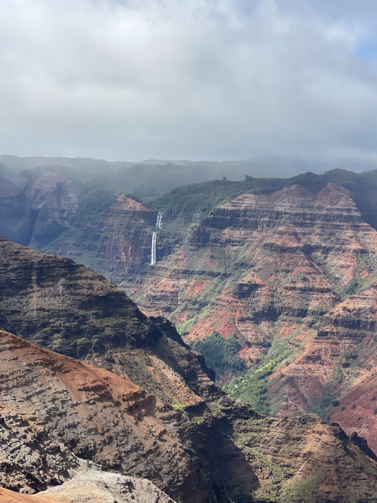
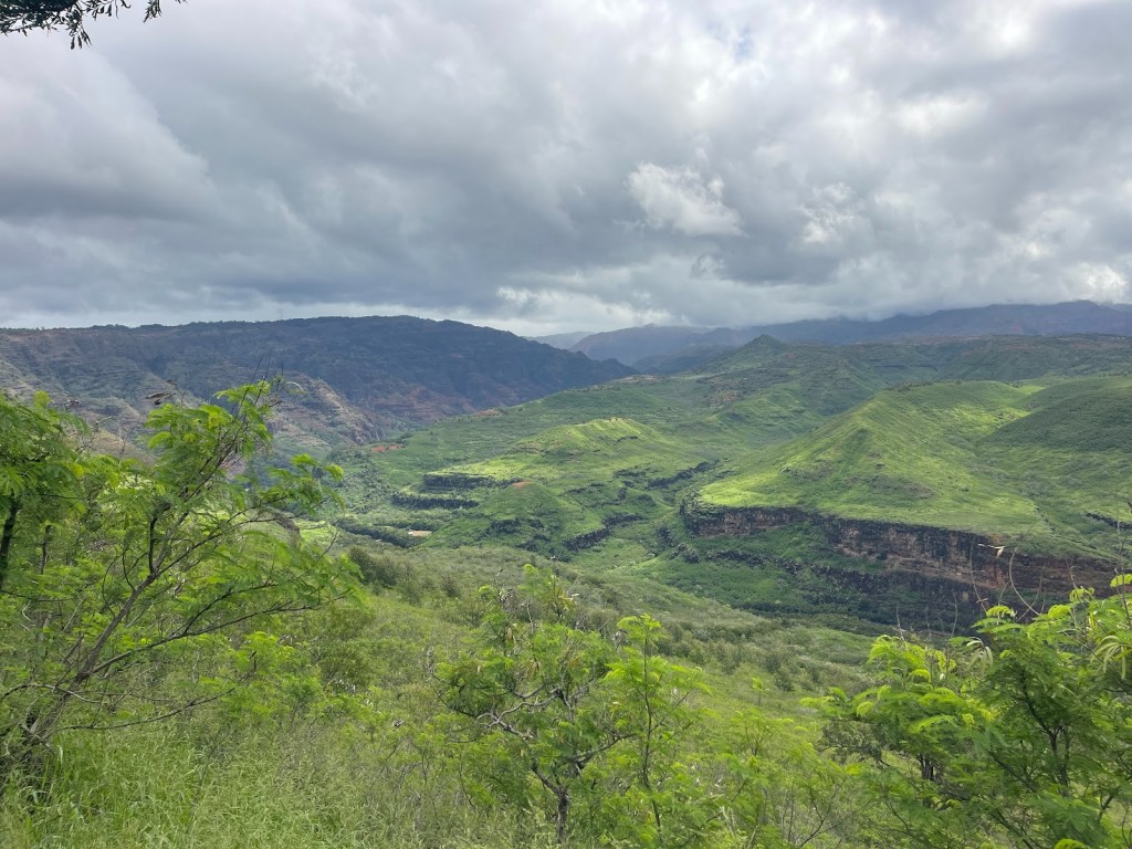
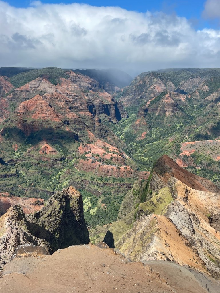
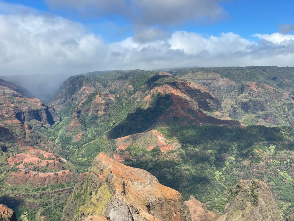
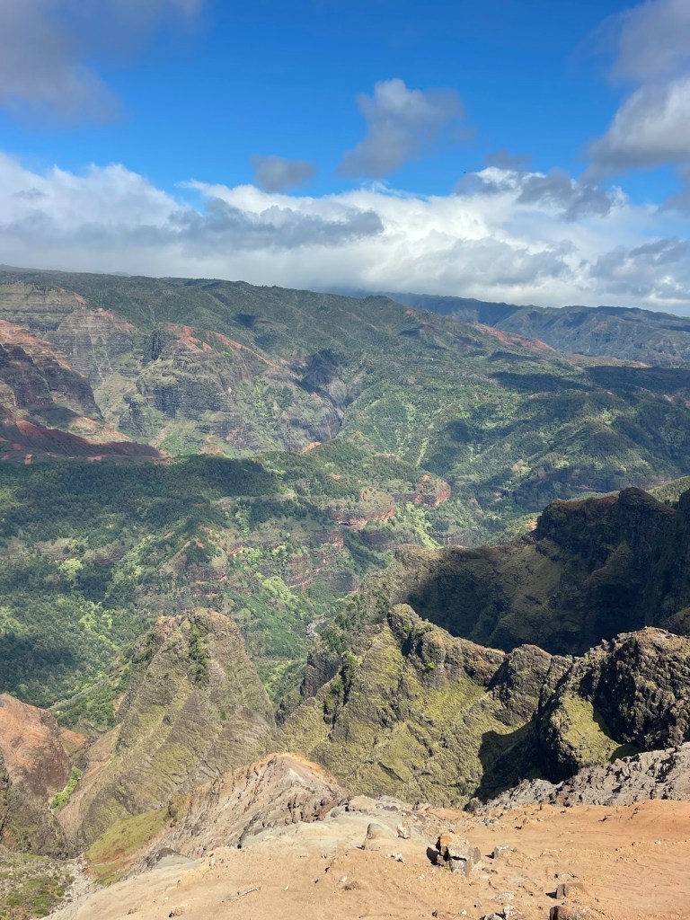
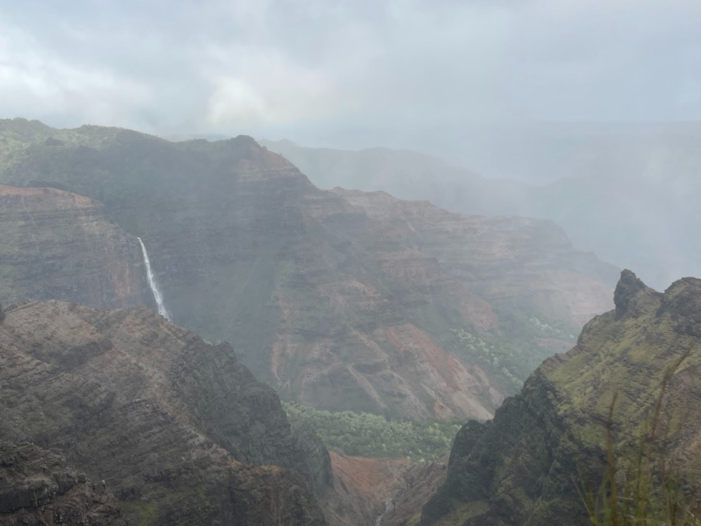
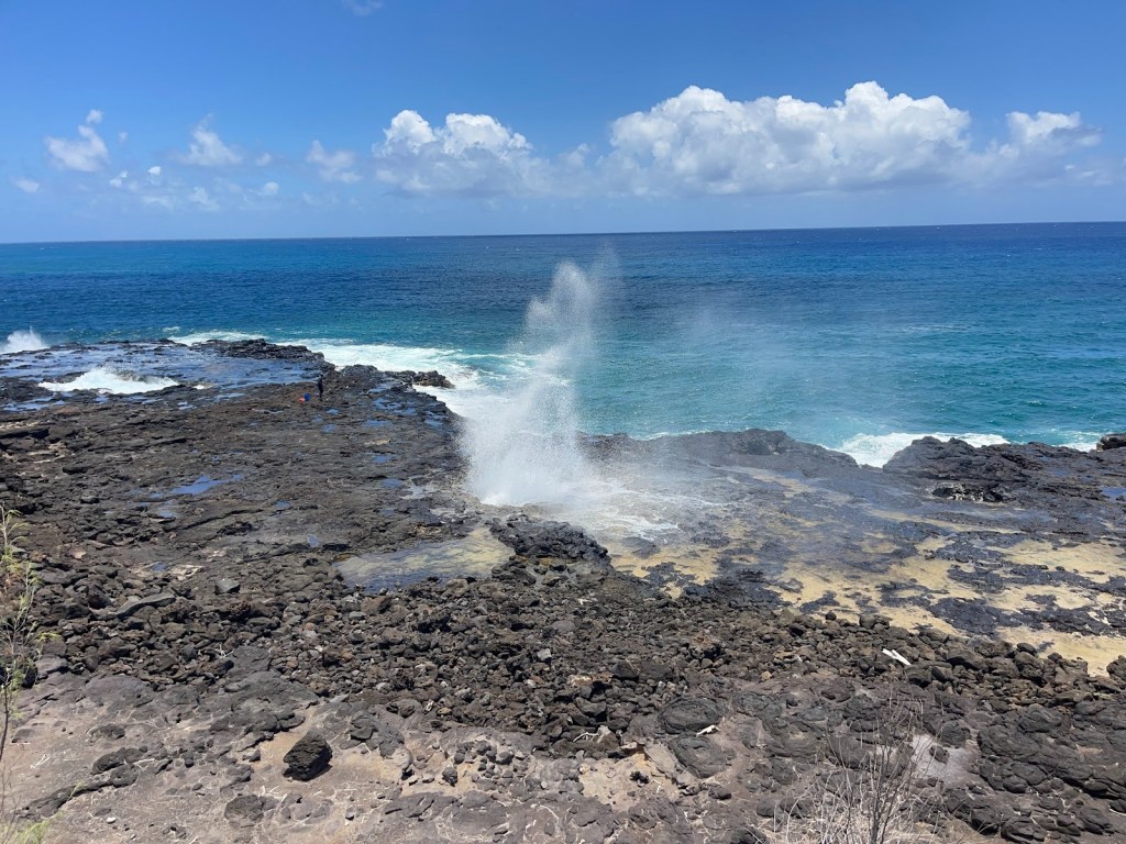
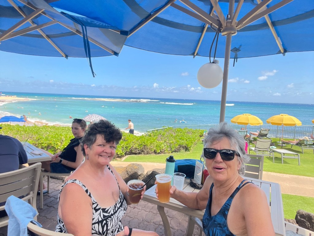
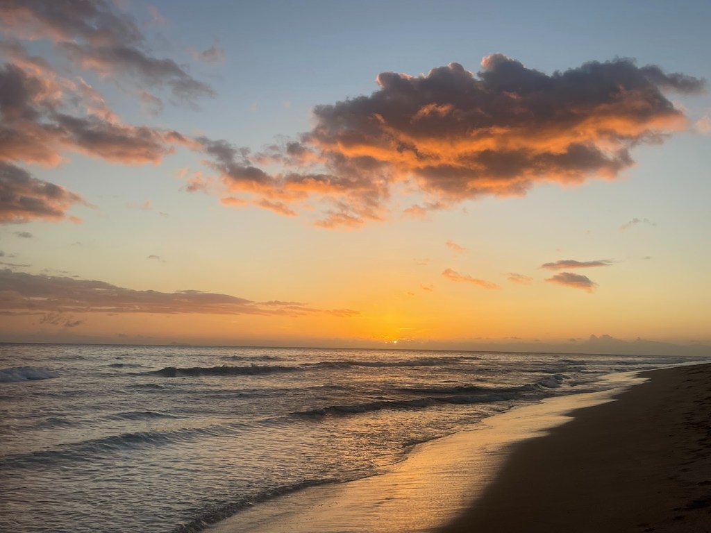
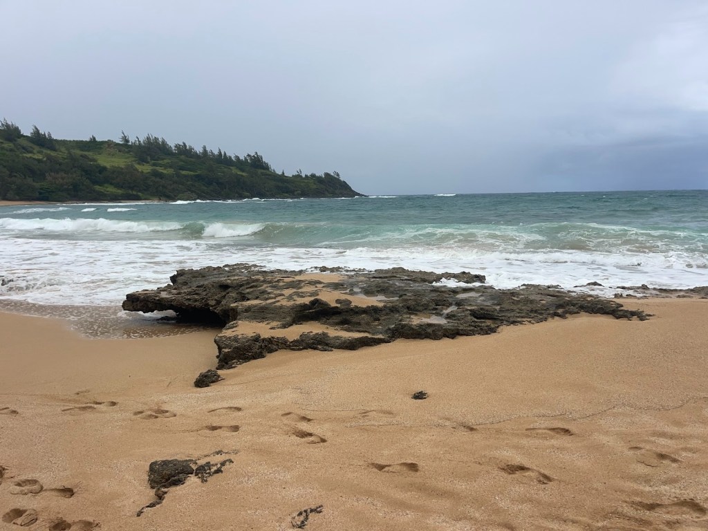
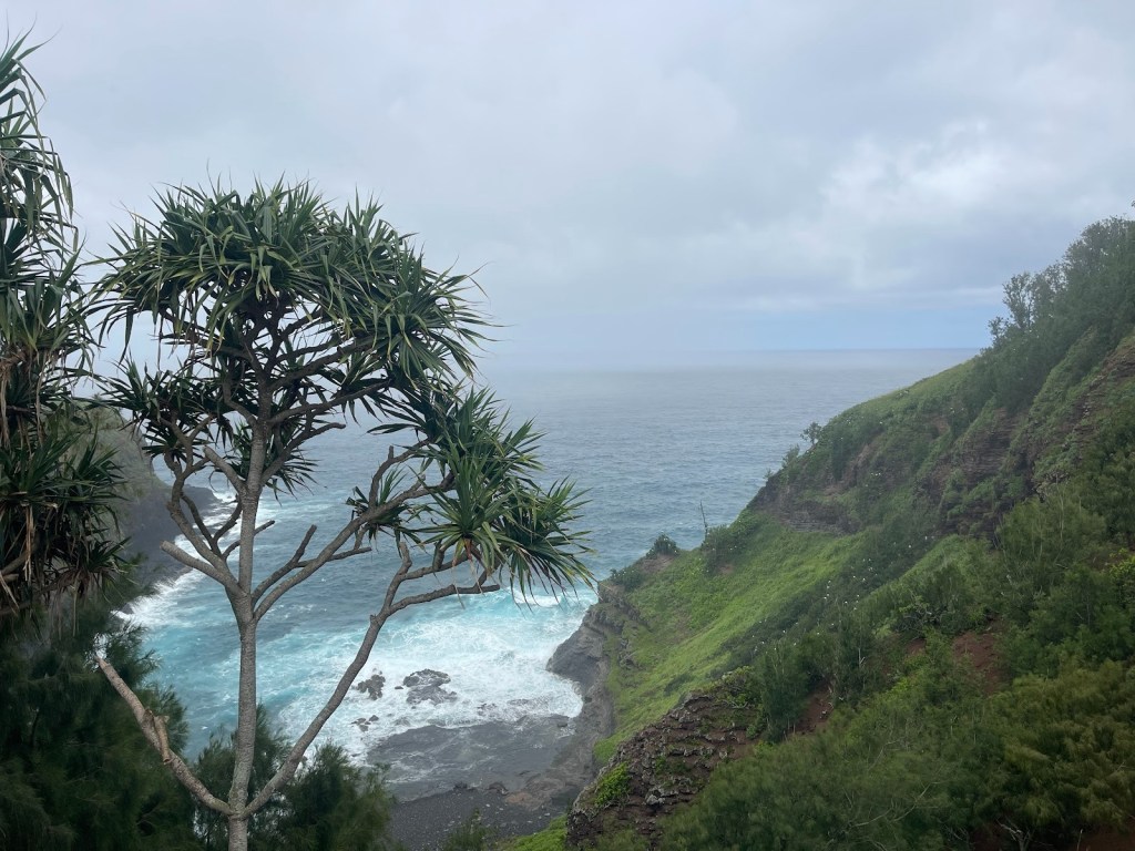
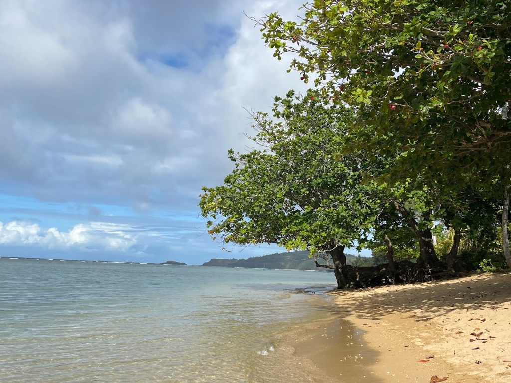
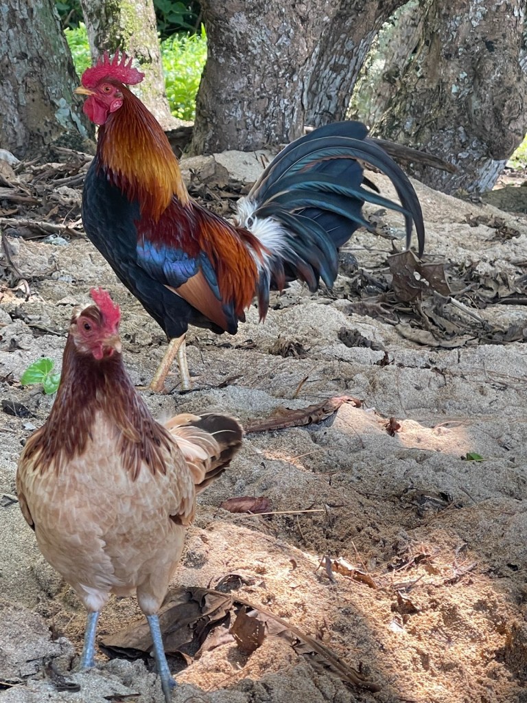
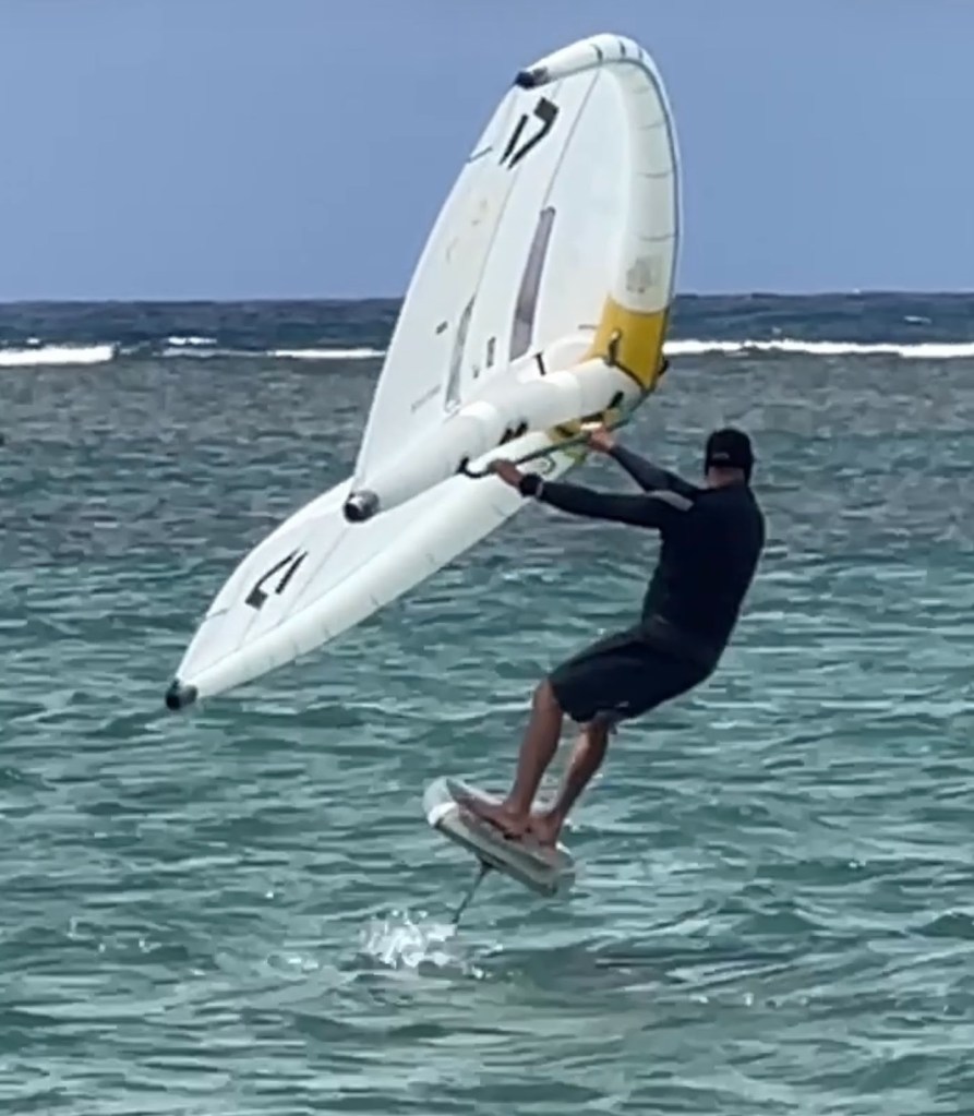
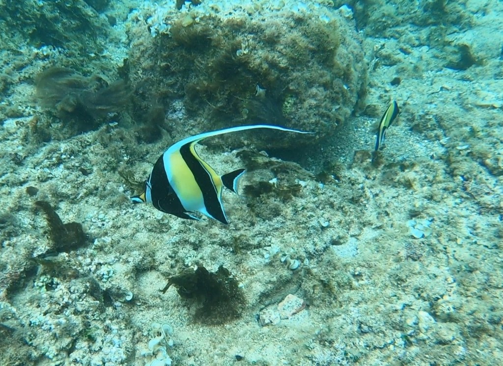
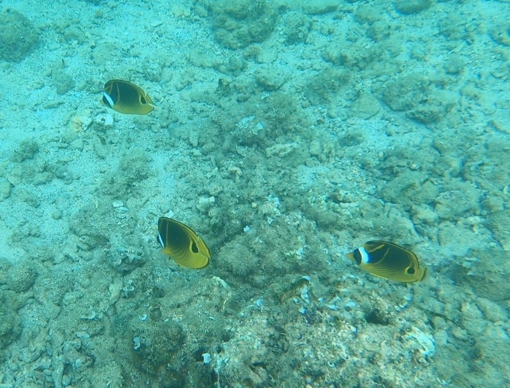
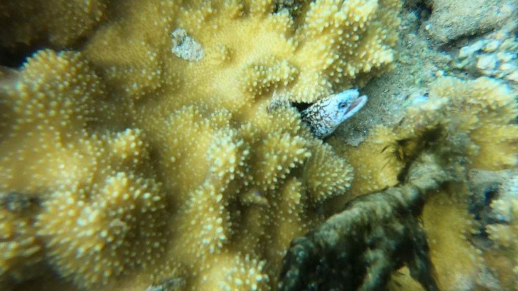
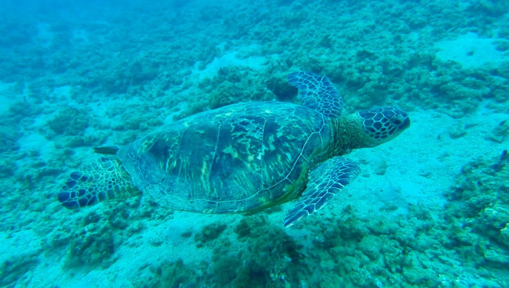
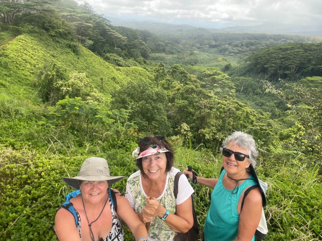
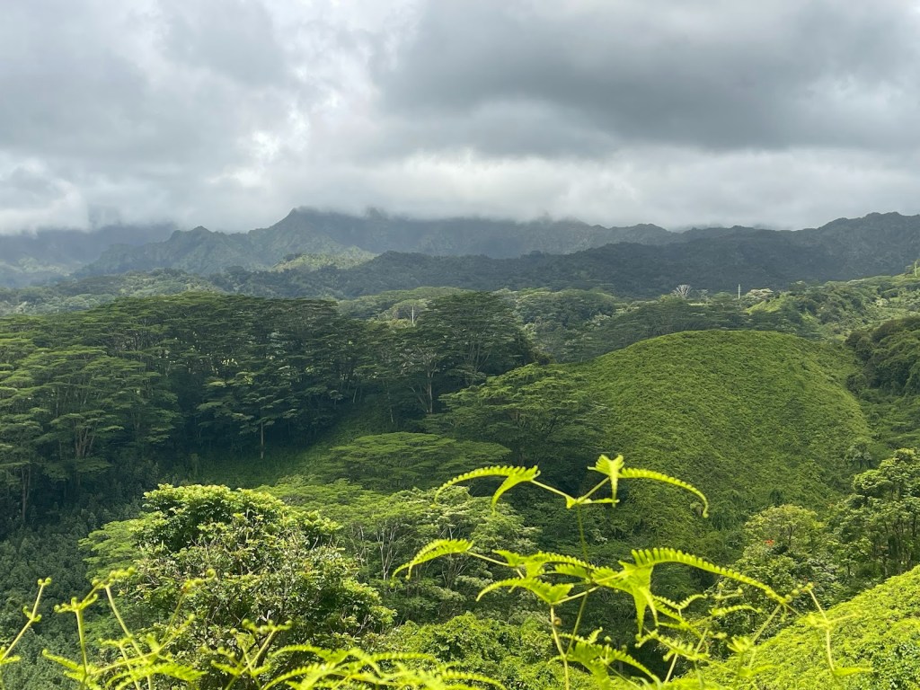
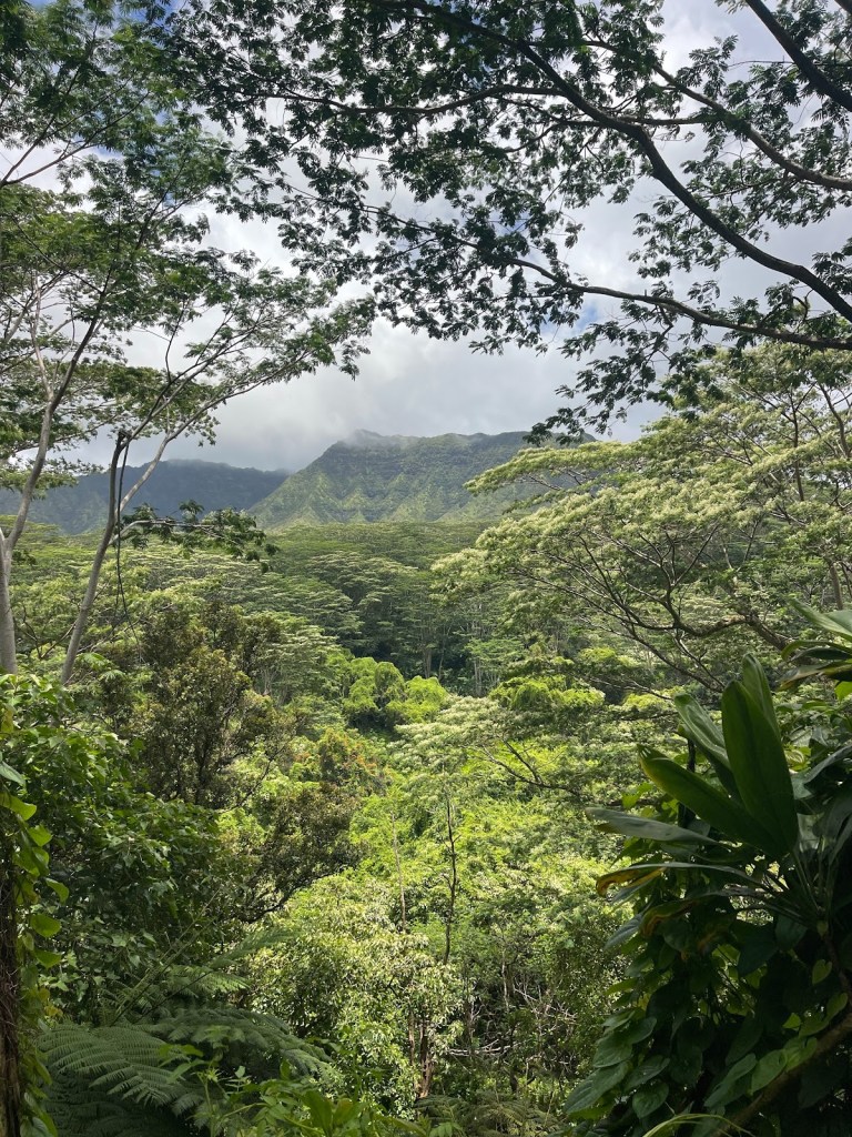
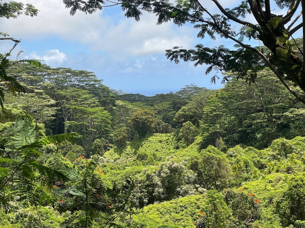
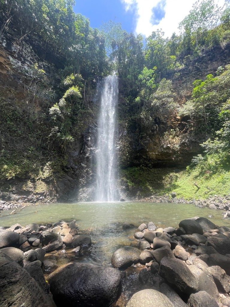
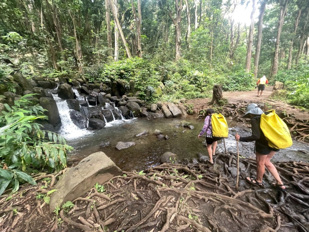
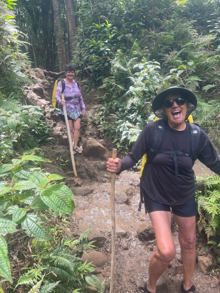
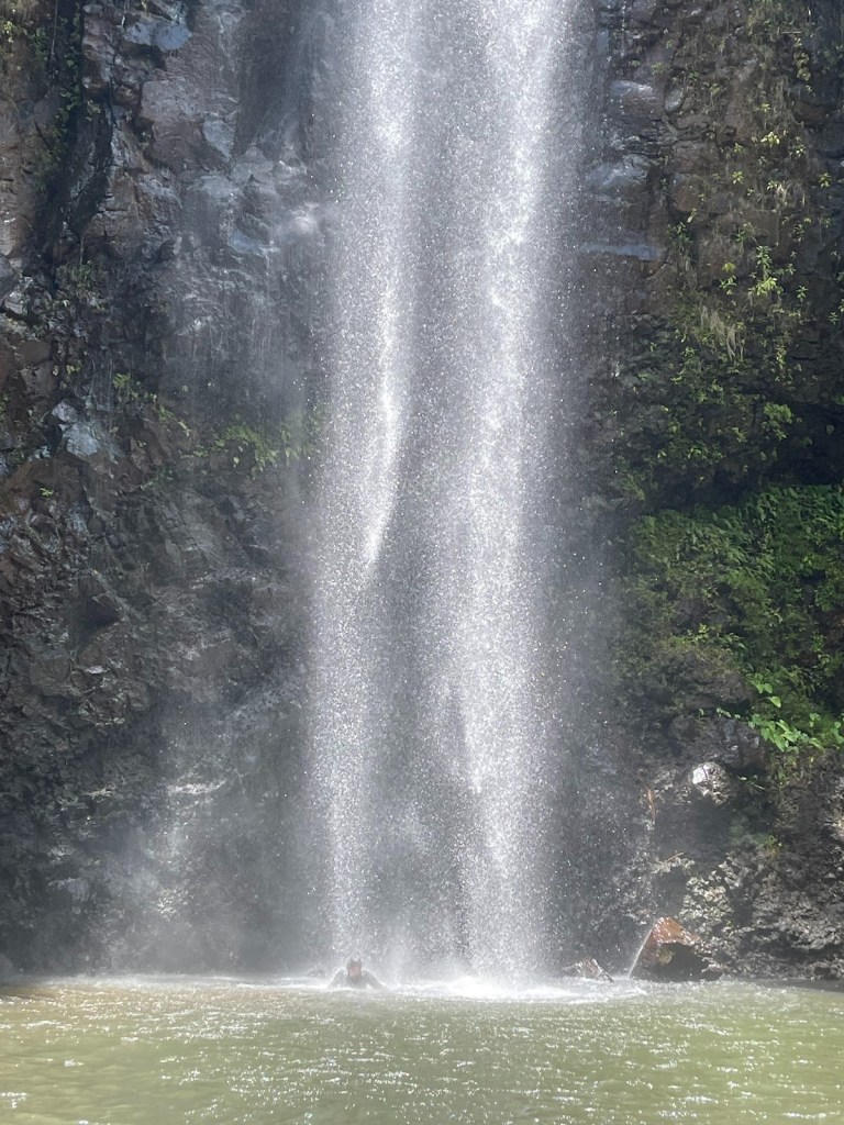
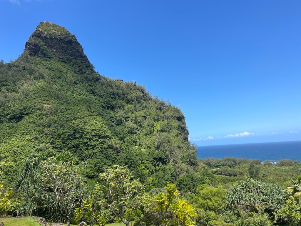
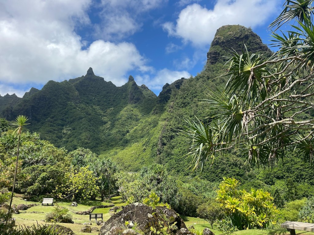
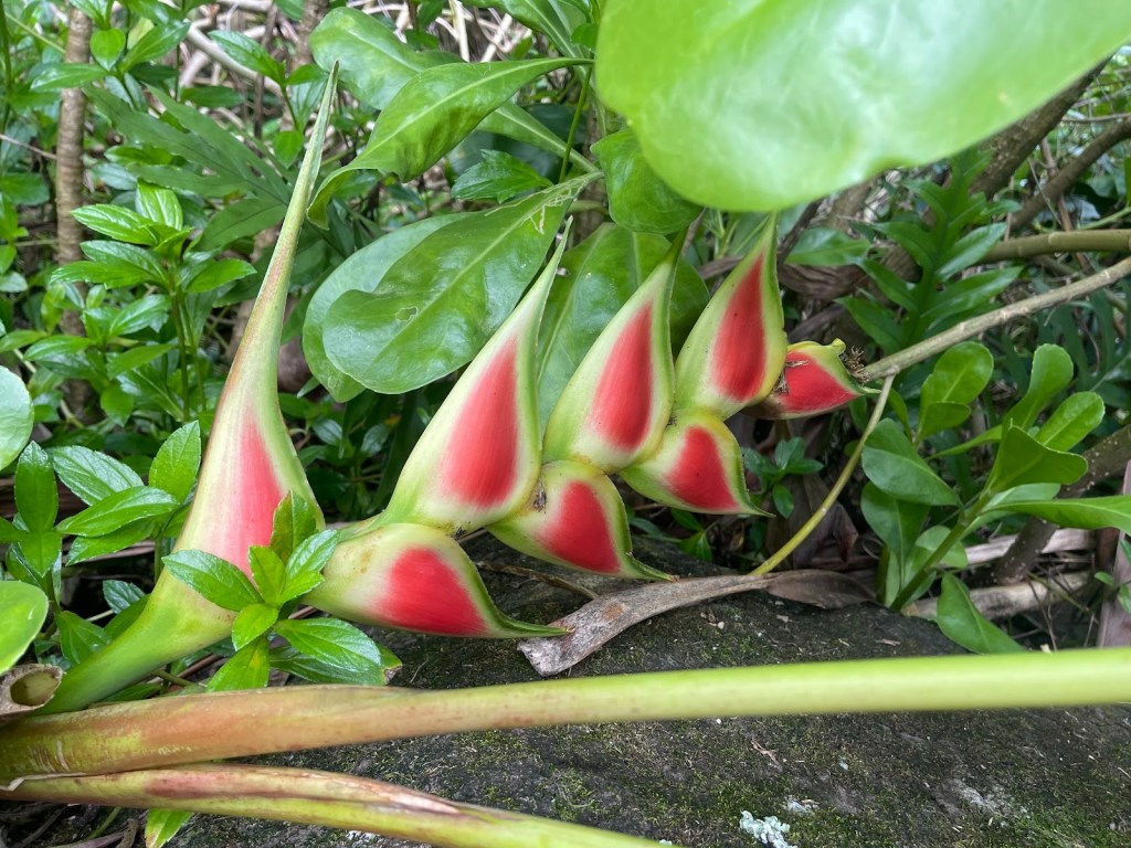
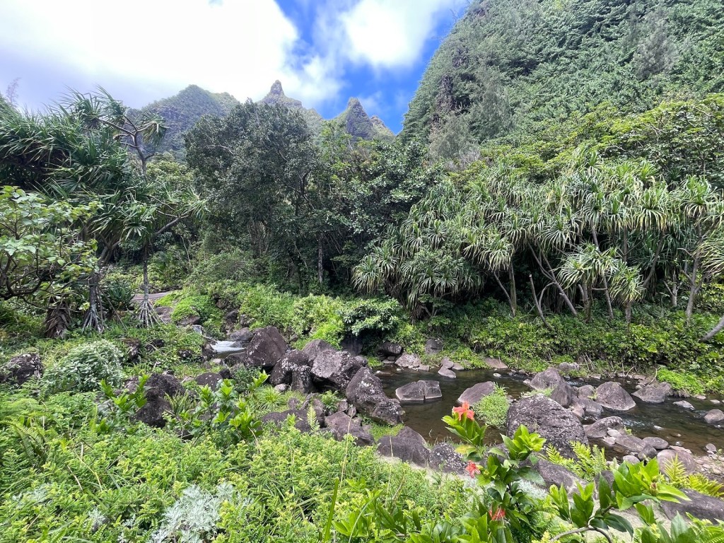
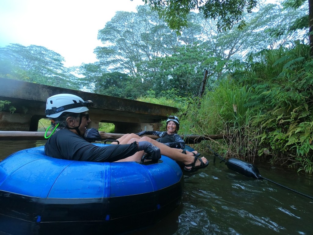
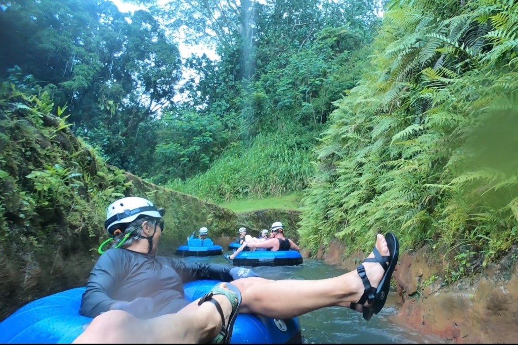
 Waipouli Park in Kappa to Donkey Beach and who knows maybe more . At least we think so.. we saw the path at Donkey Beach, but All Trails says it ends before this in Paliku Point. Trying to keep close to the trail, we took a turn into a gated community which wasn’t gated at the time. All the entrances to the grand houses in this community were gated, but we just drove right in, a little bit apprehensive, but with the people in the car that are used to breaking rules, it was no big deal. We ended up leaving this gated community through a gate which of course opens when you want to get out. But this time, the gate coming in was closed, so we felt very devious. We drove outside and made it to Donkey Beach on the main highway, and we noticed that we saw a bike trail and it probably was the same one passing through the gated community, but that’s something to be investigated. It is supposed to be a 7 mile bike path and would definitely like to rent bikes next time.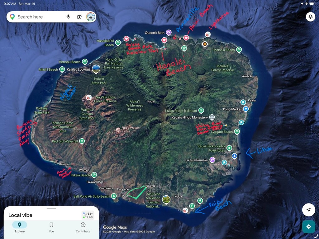
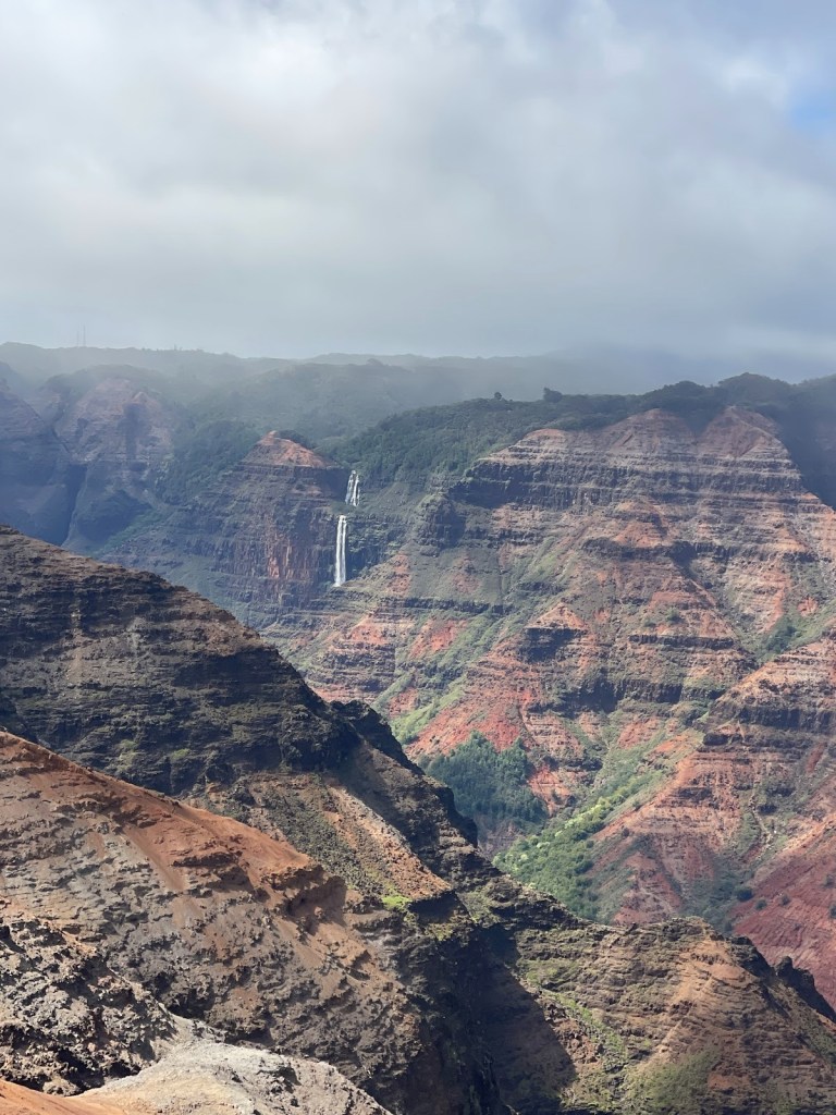
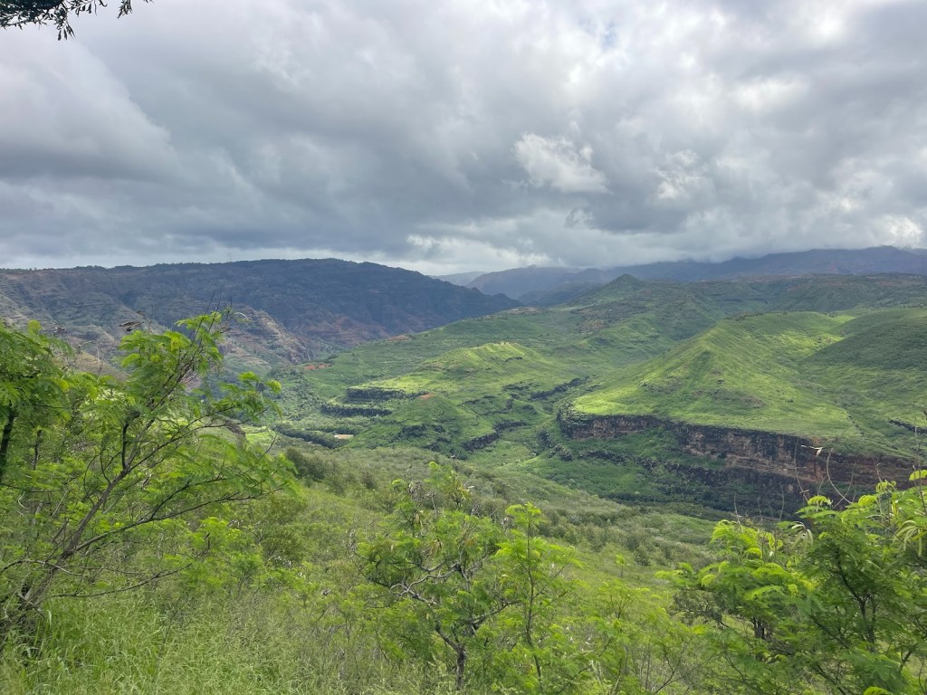
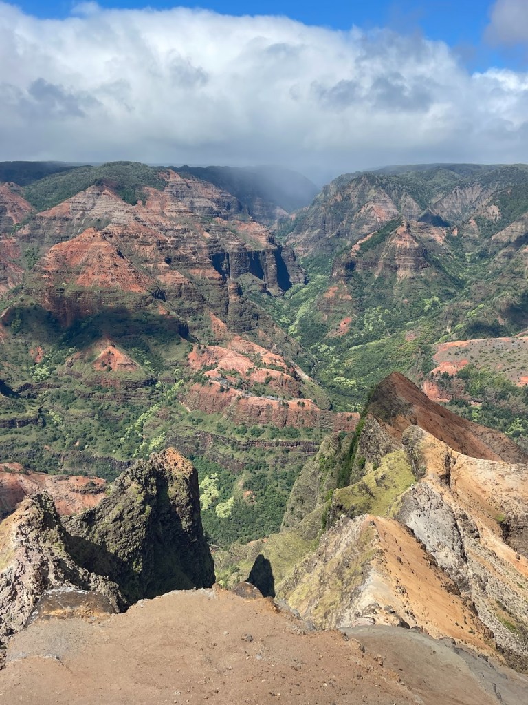
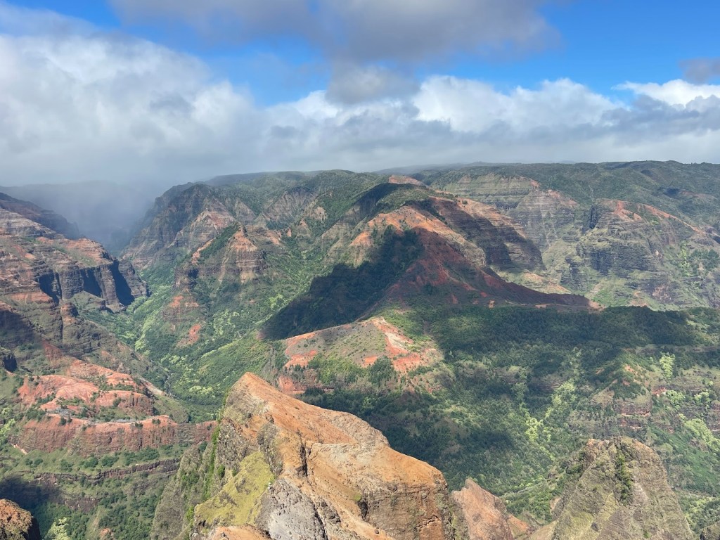
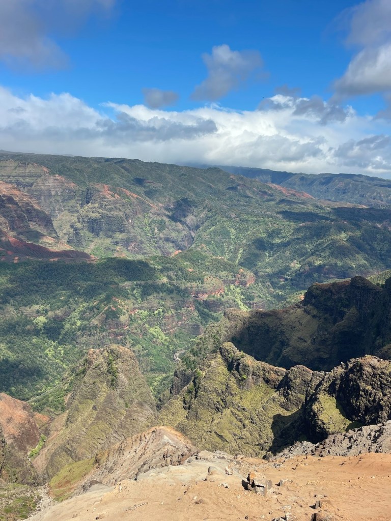
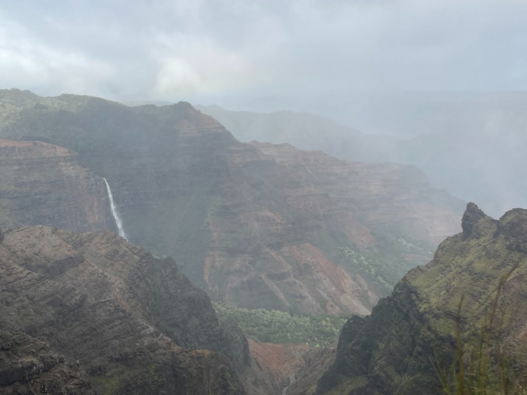
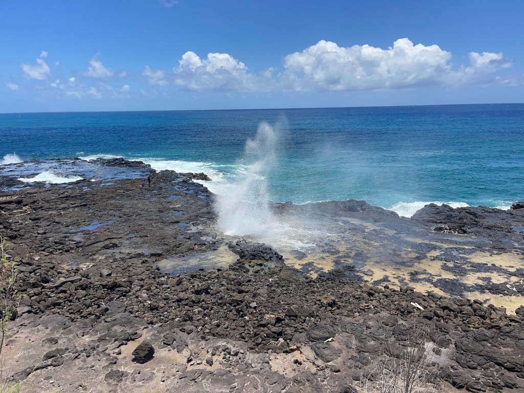
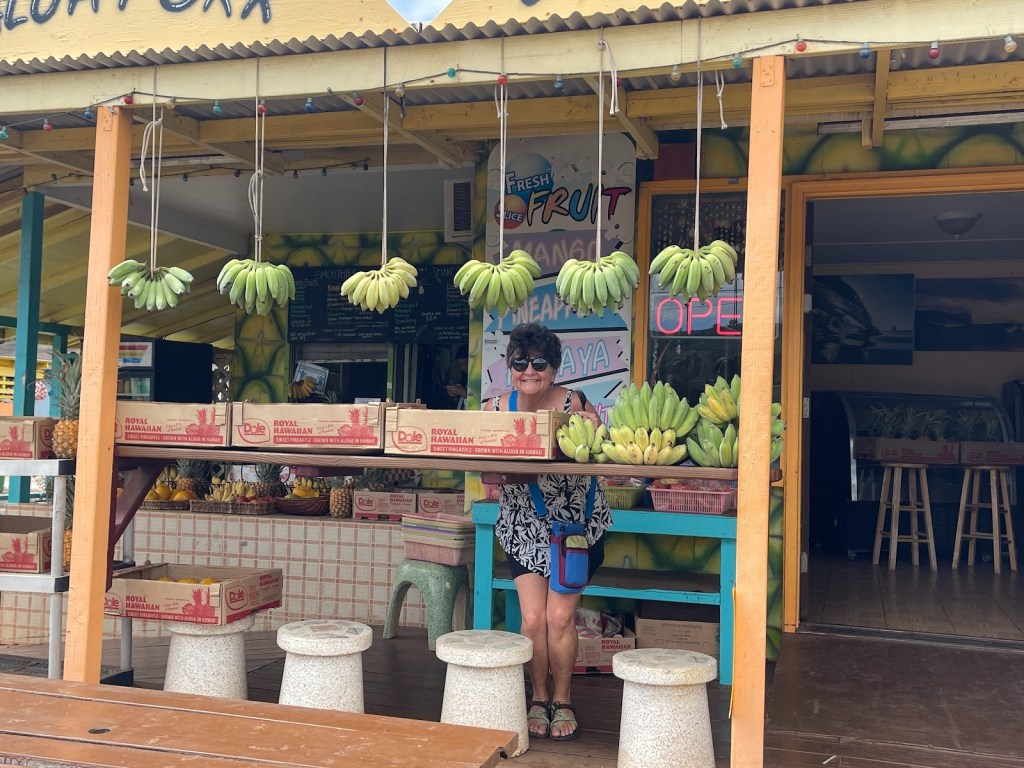
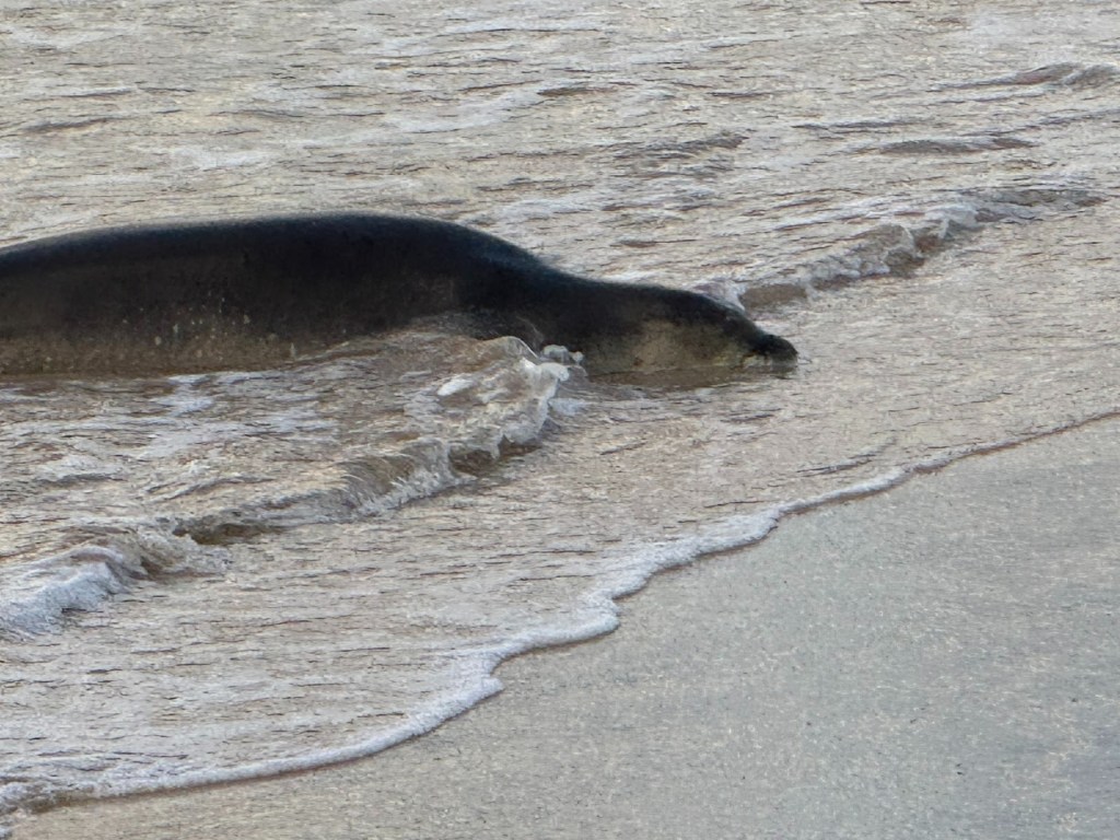
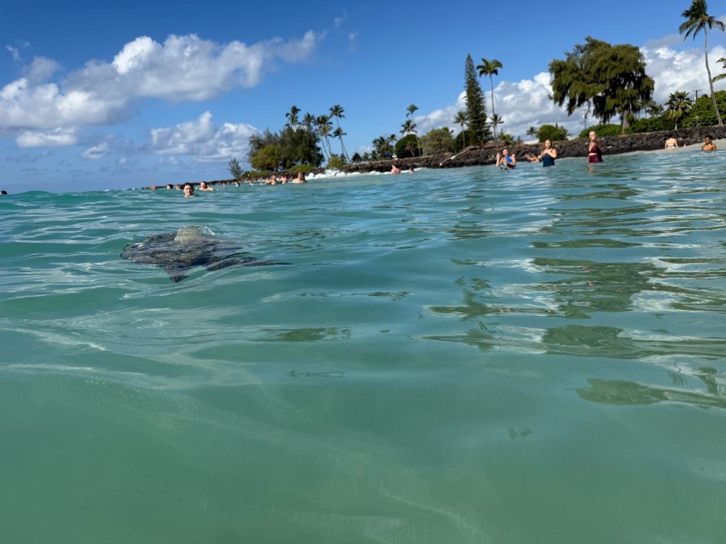
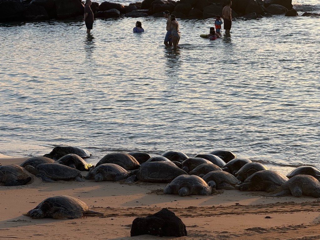
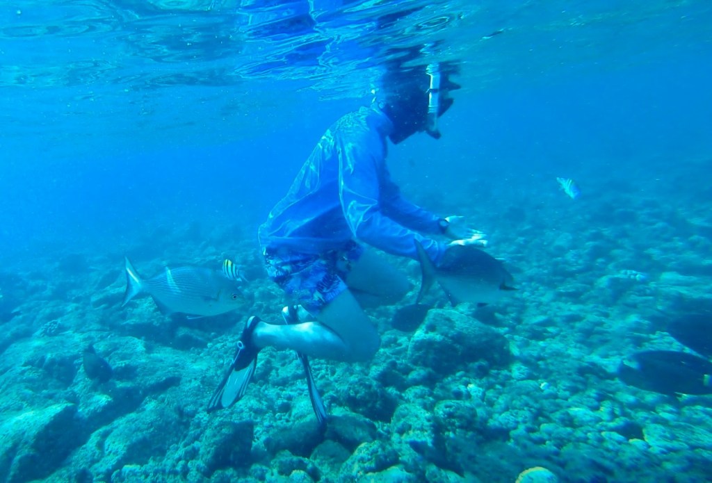
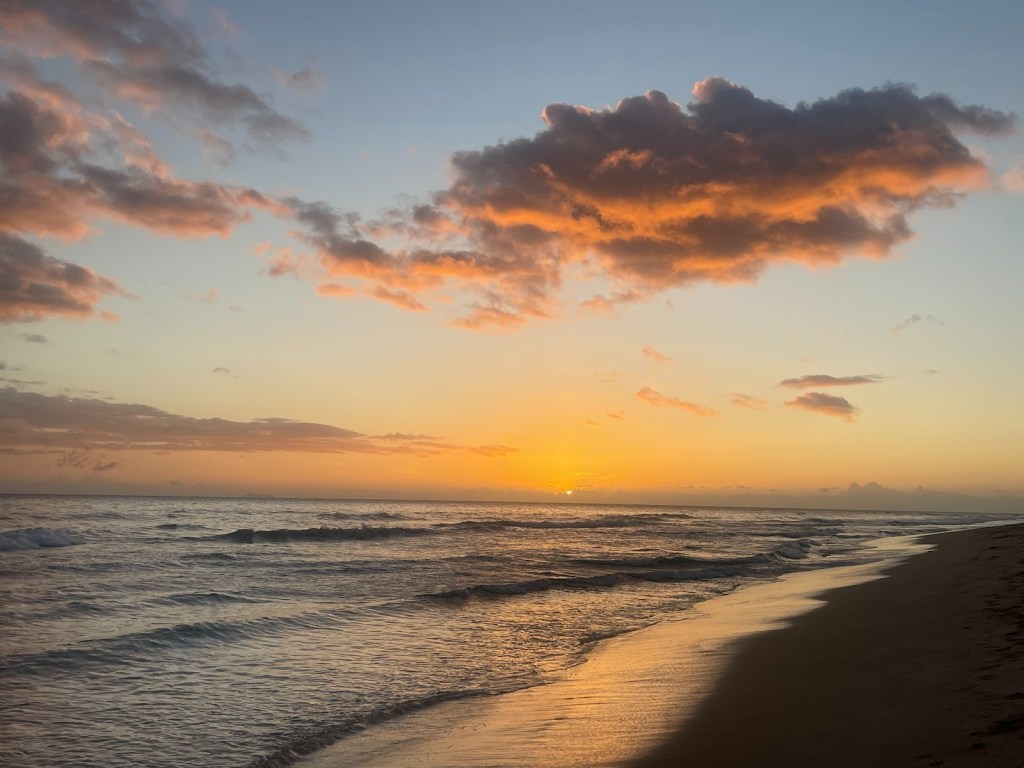
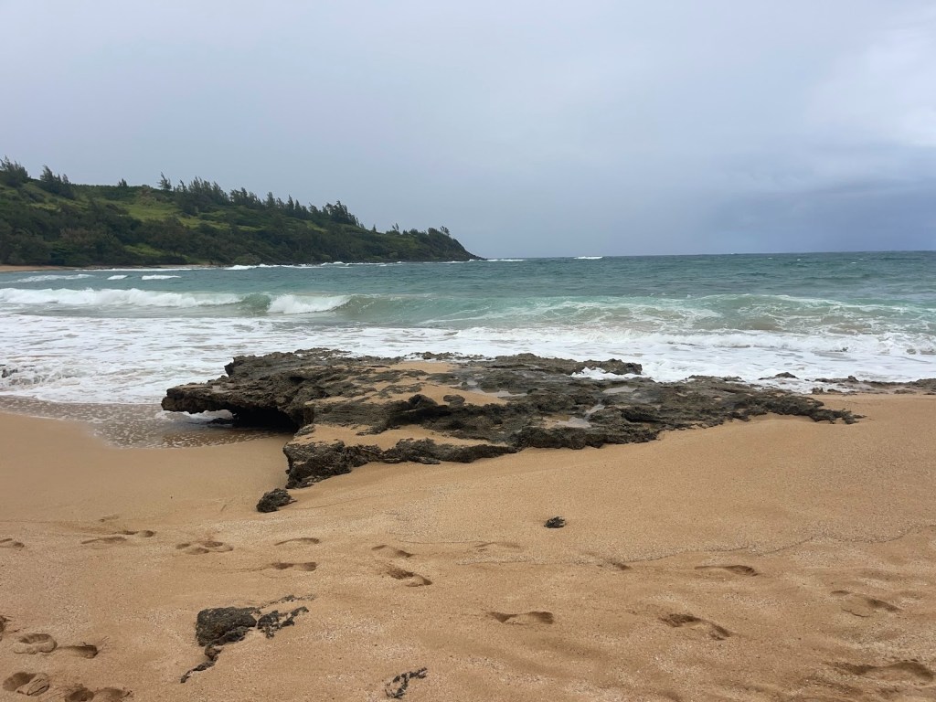
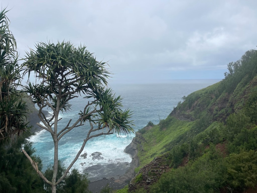
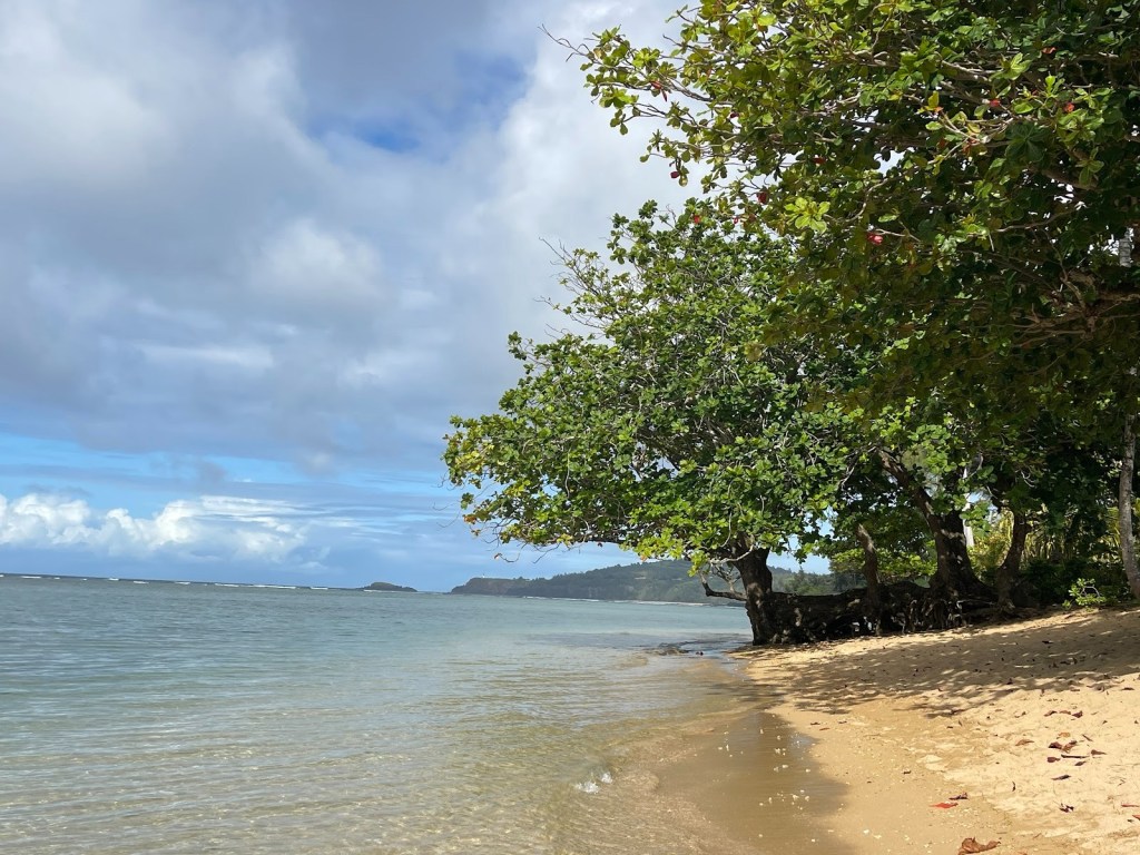
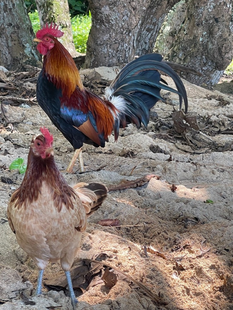
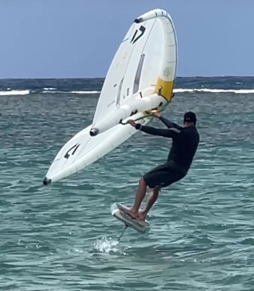
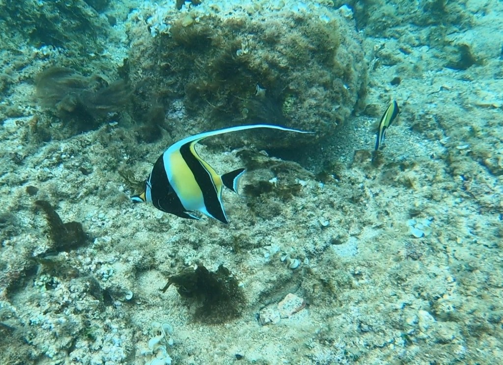
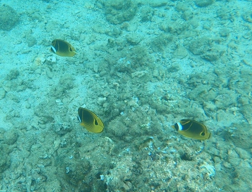
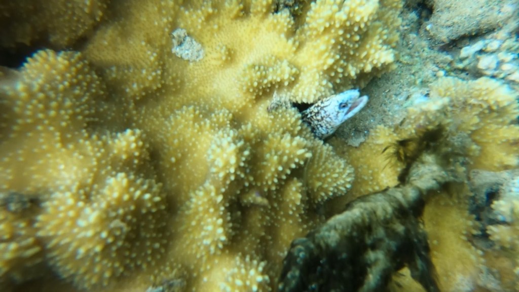
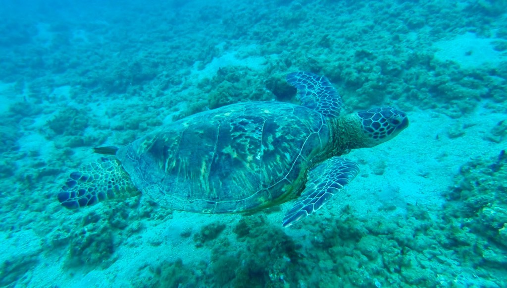
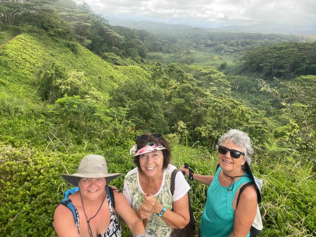
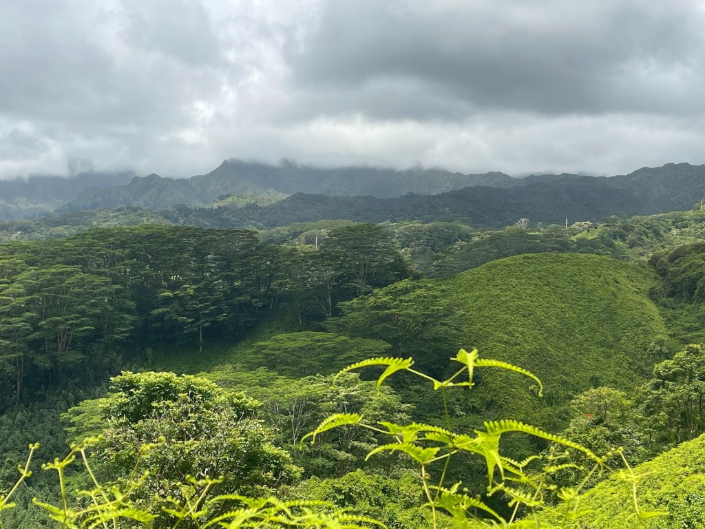
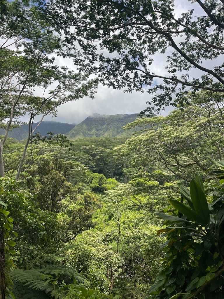
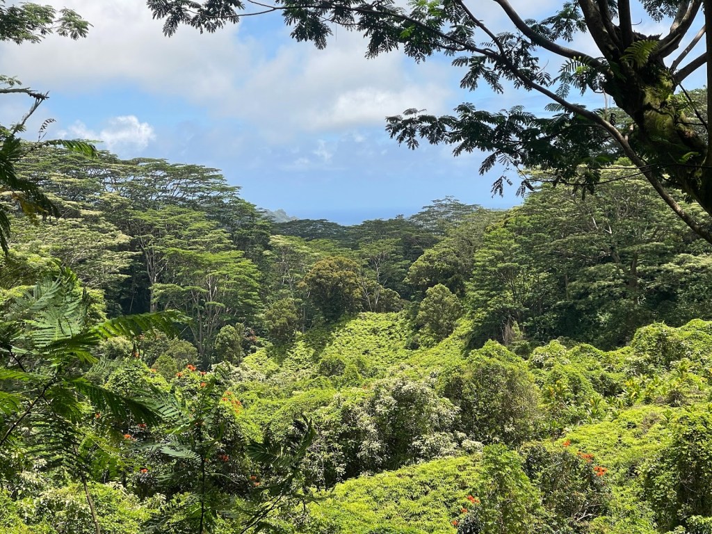
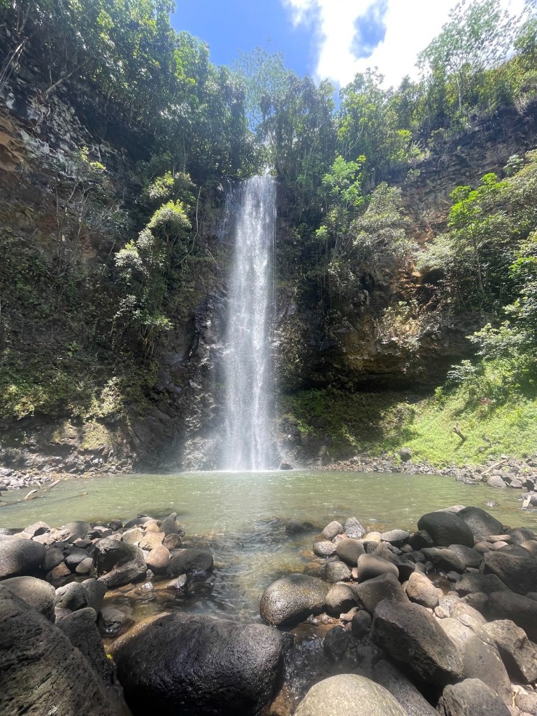
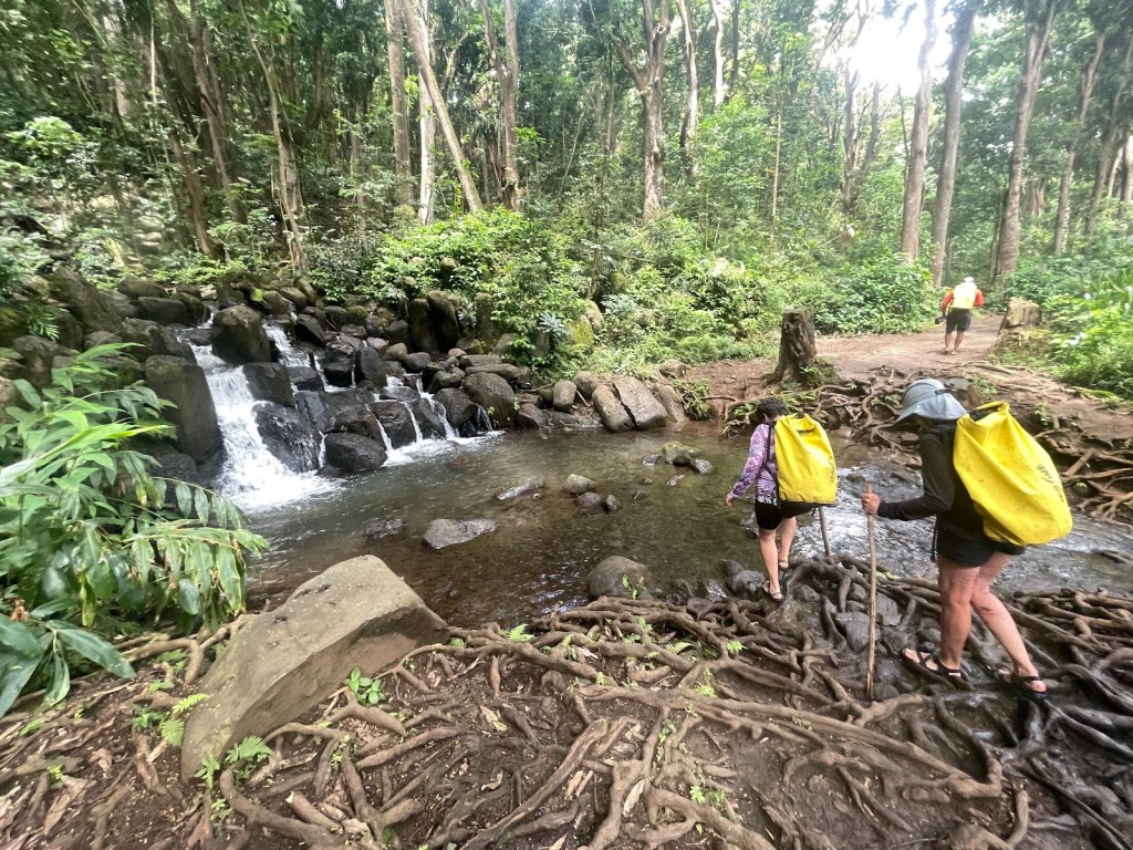
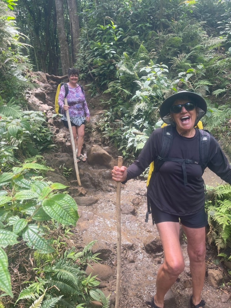
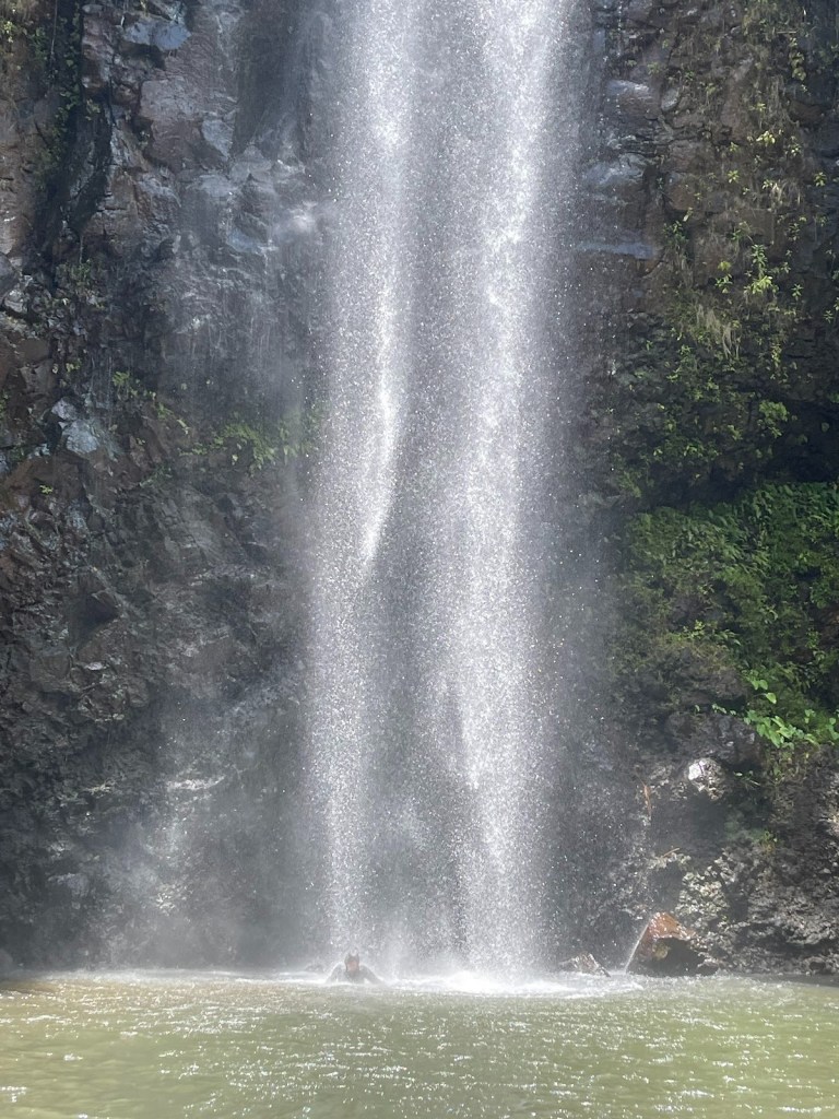
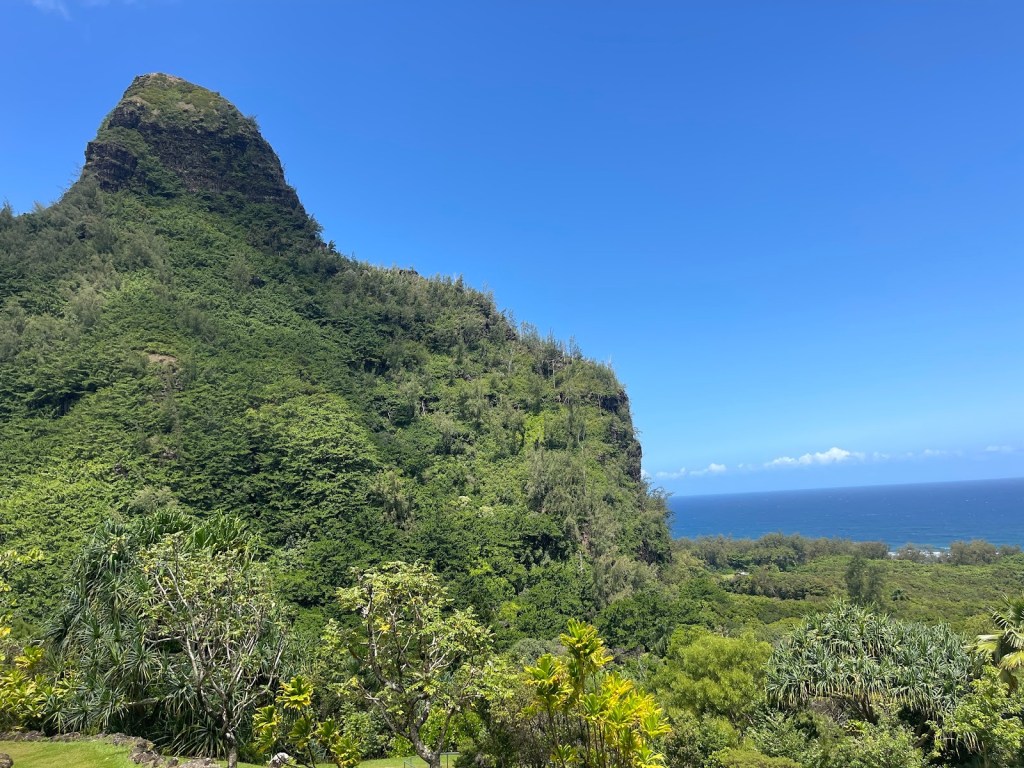
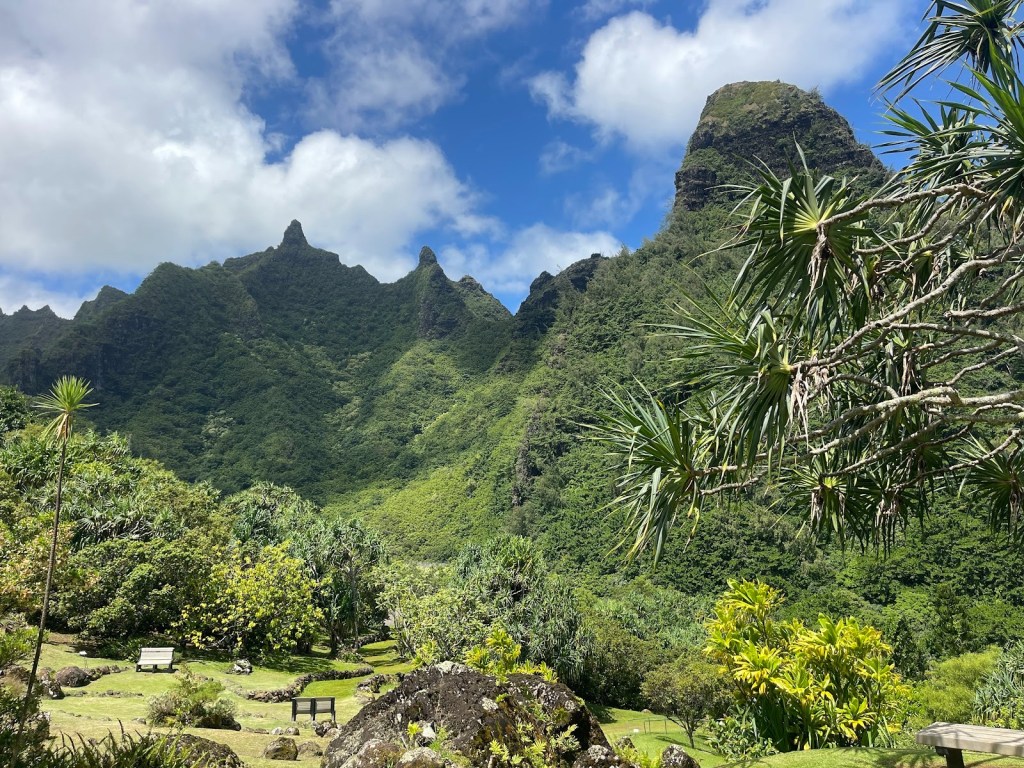
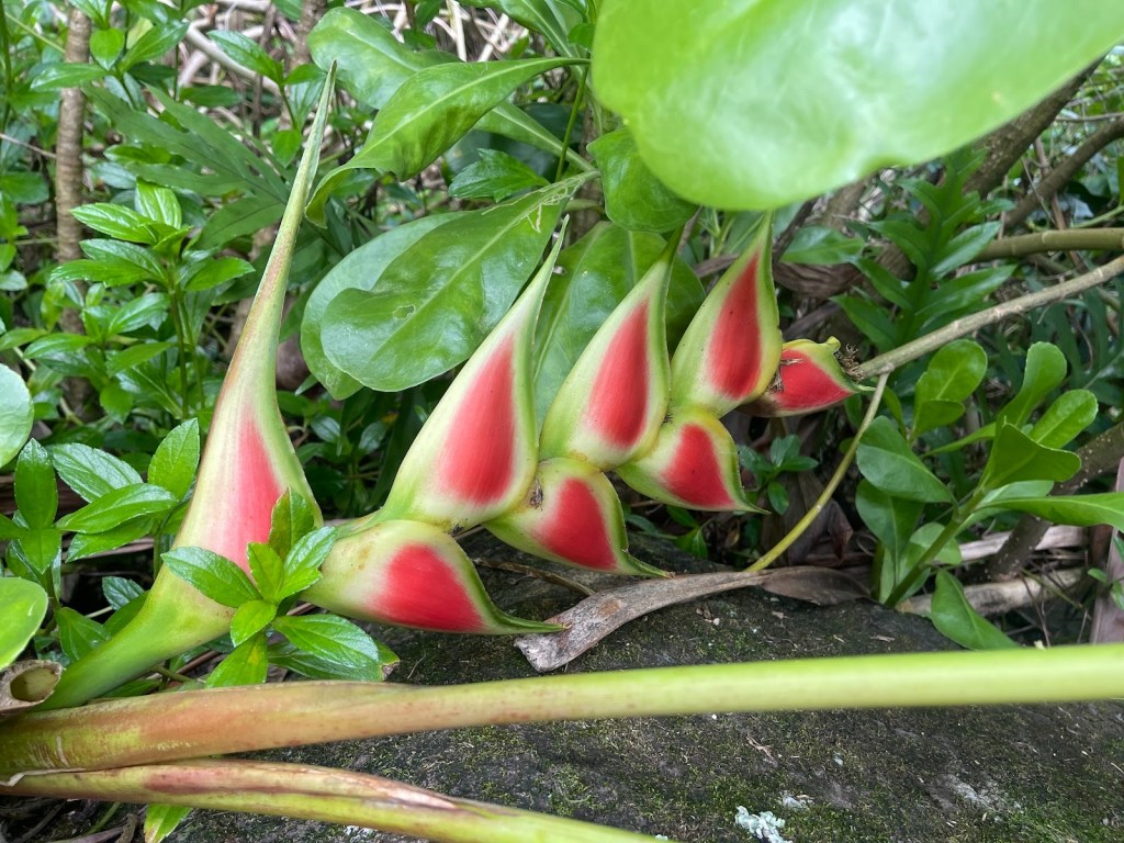
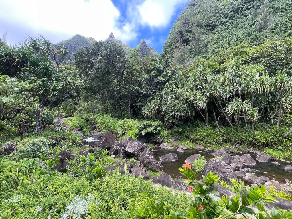
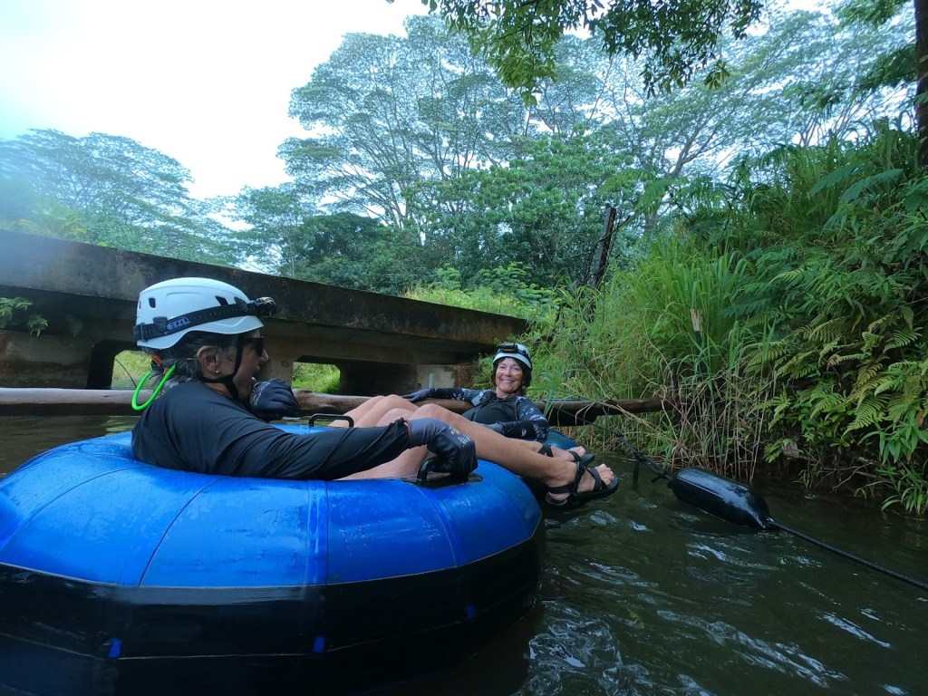
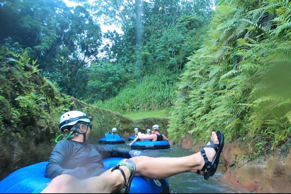
 Waipouli Park in Kappa to Donkey Beach and who knows maybe more . At least we think so.. we saw the path at Donkey Beach, but All Trails says it ends before this in Paliku Point. Trying to keep close to the trail, we took a turn into a gated community which wasn’t gated at the time. All the entrances to the grand houses in this community were gated, but we just drove right in, a little bit apprehensive, but with the people in the car that are used to breaking rules, it was no big deal. We ended up leaving this gated community through a gate which of course opens when you want to get out. But this time, the gate coming in was closed, so we felt very devious. We drove outside and made it to Donkey Beach on the main highway, and we noticed that we saw a bike trail and it probably was the same one passing through the gated community, but that’s something to be investigated. It is supposed to be a 7 mile bike path and would definitely like to rent bikes next time.