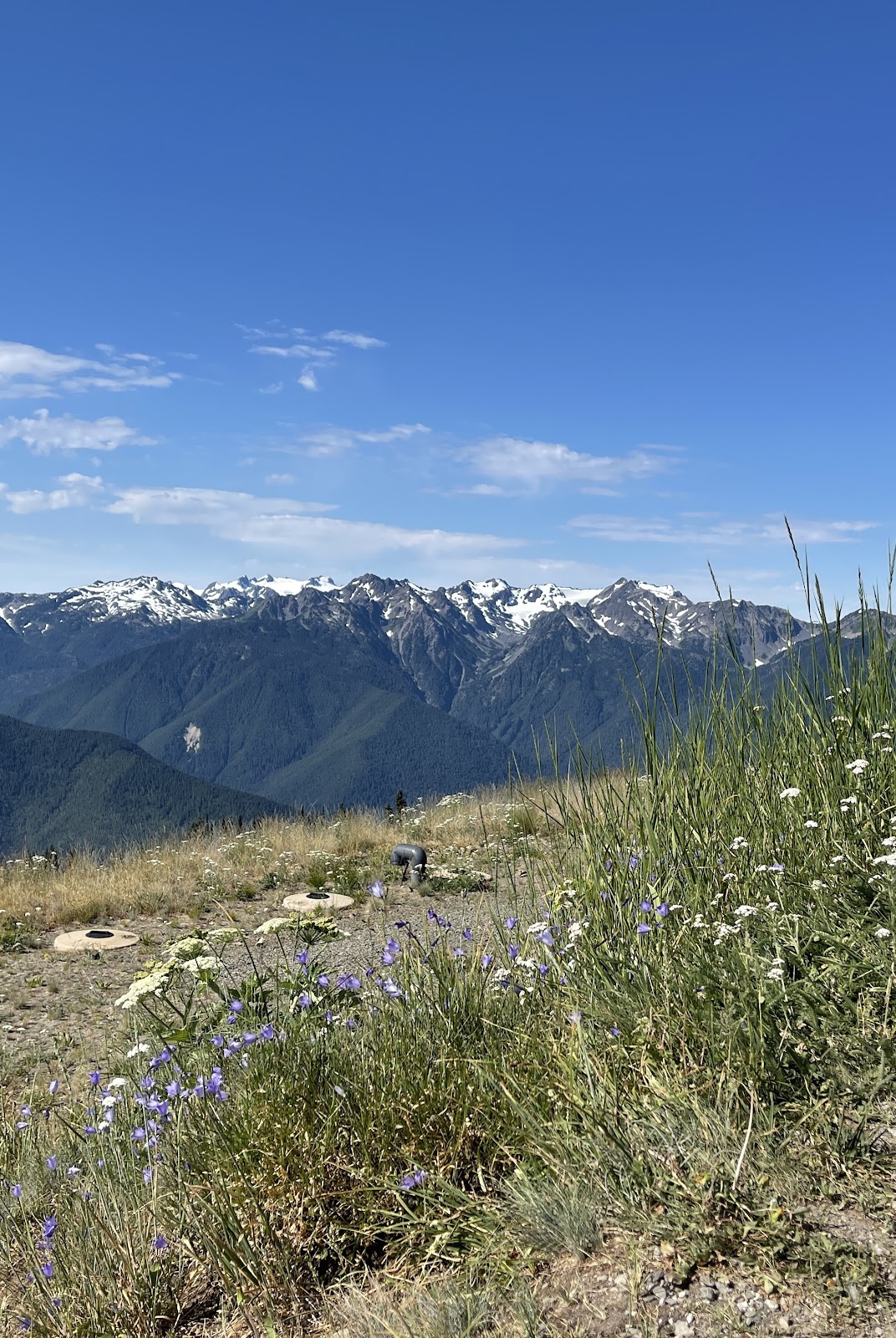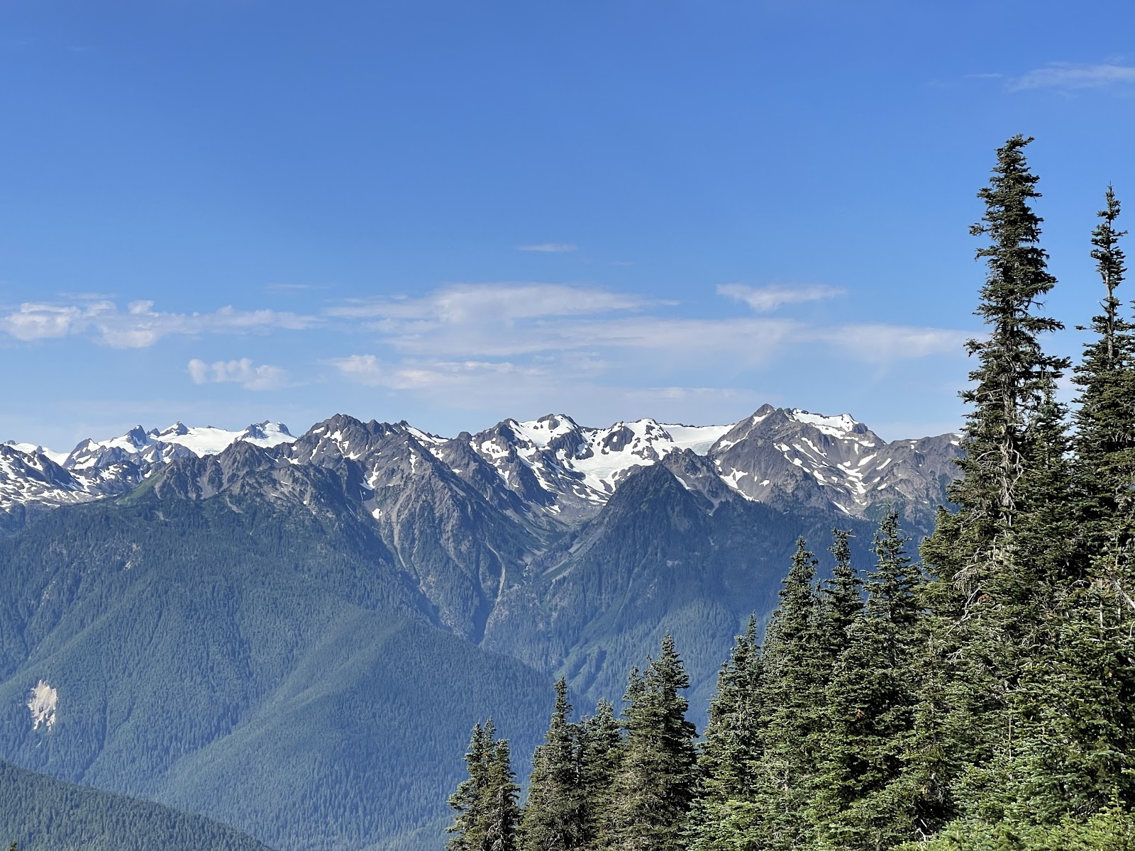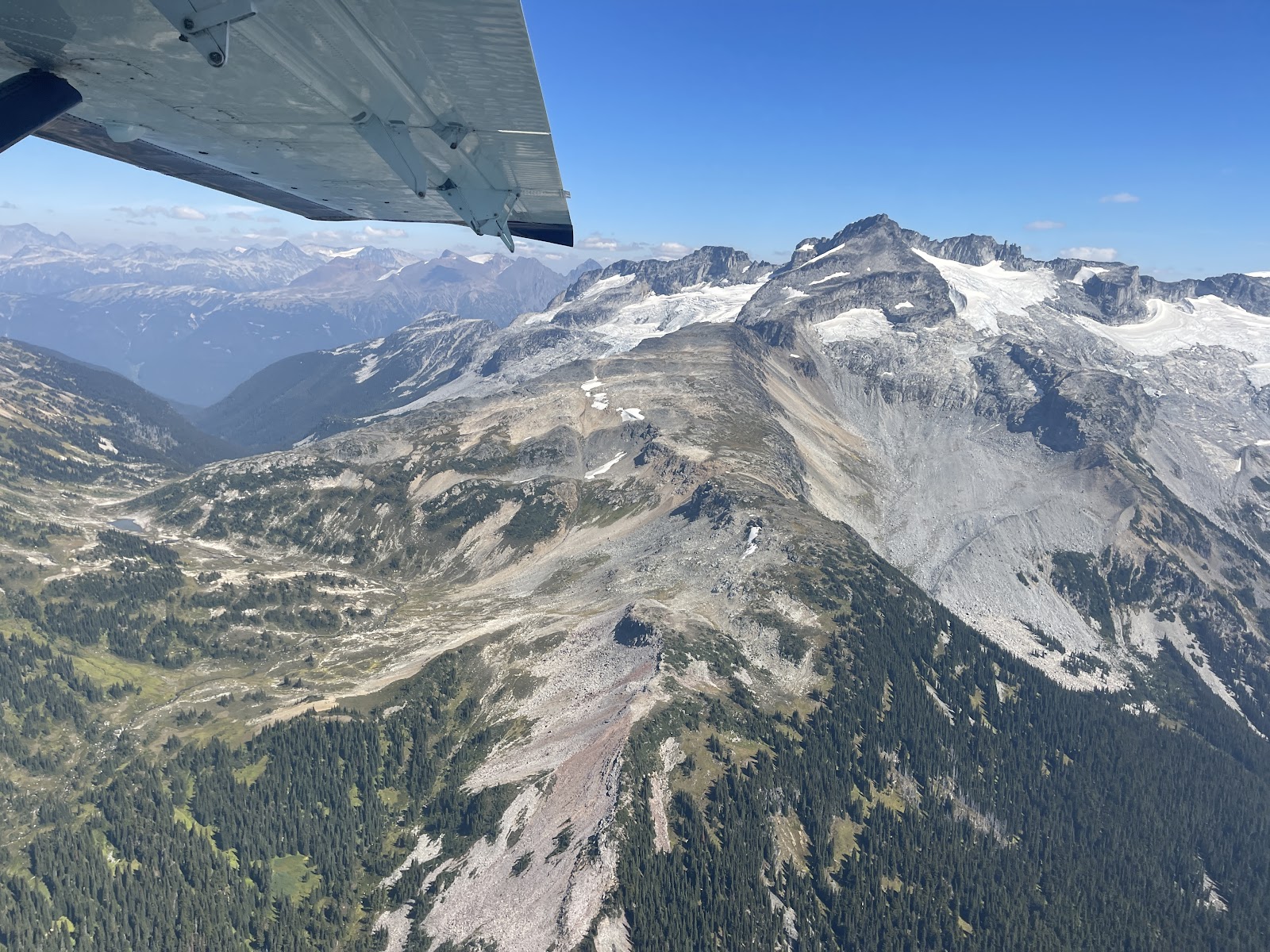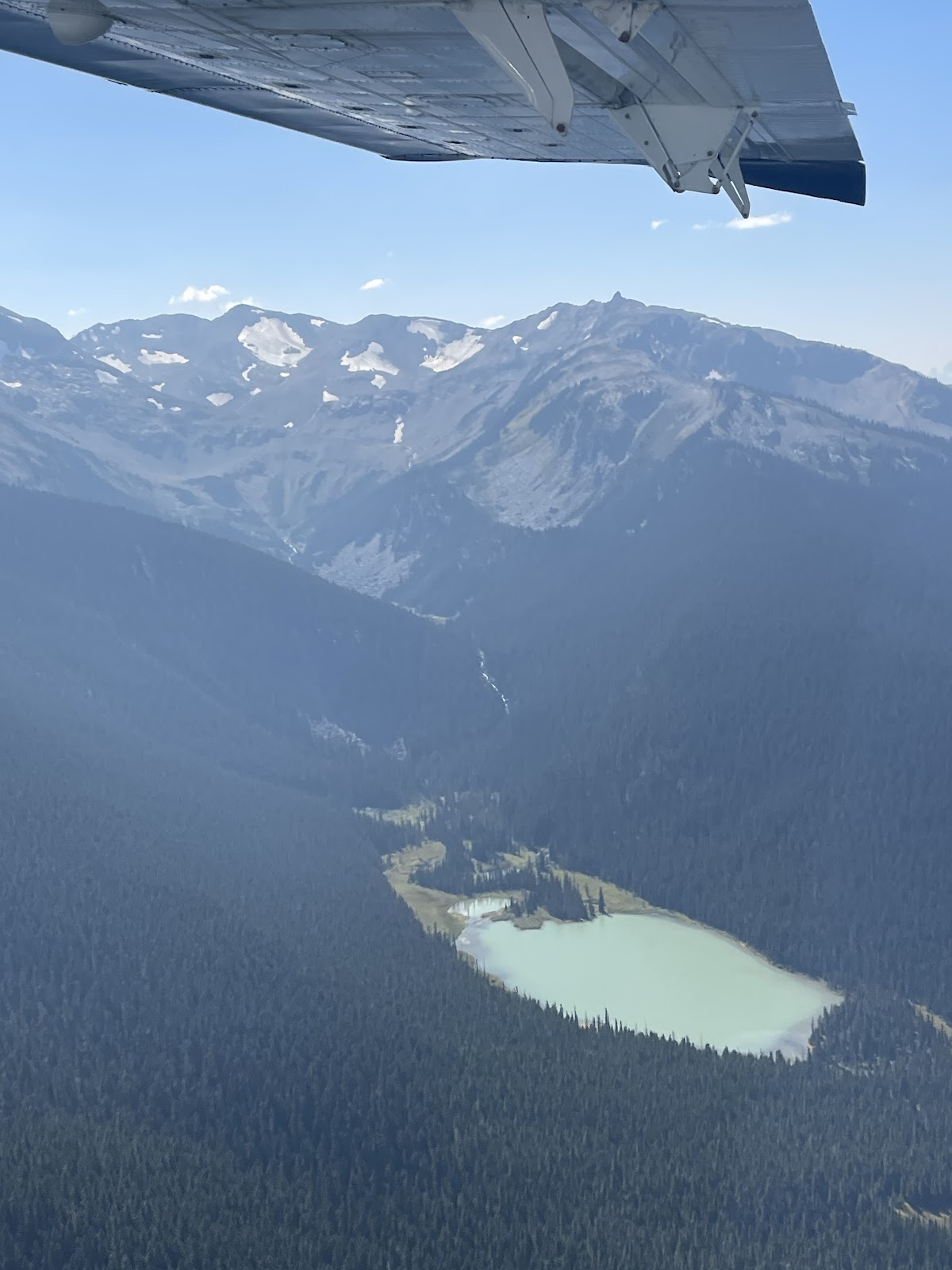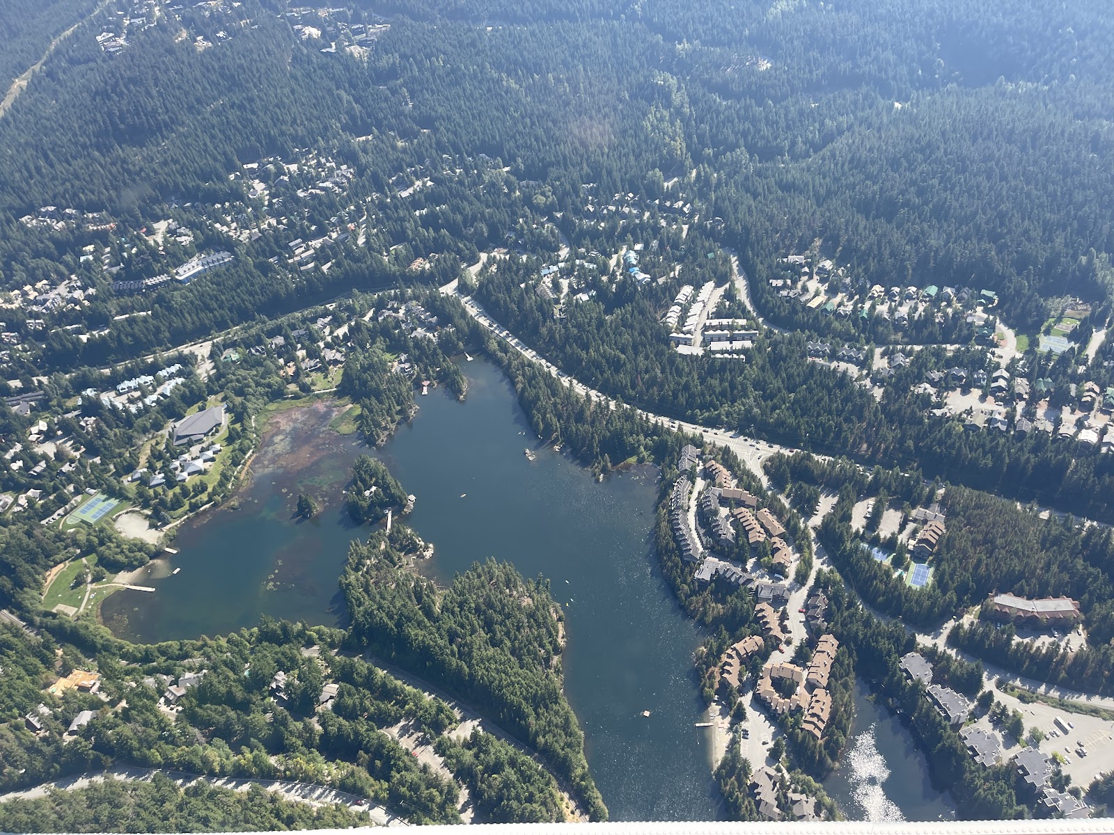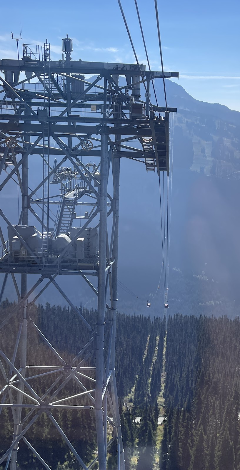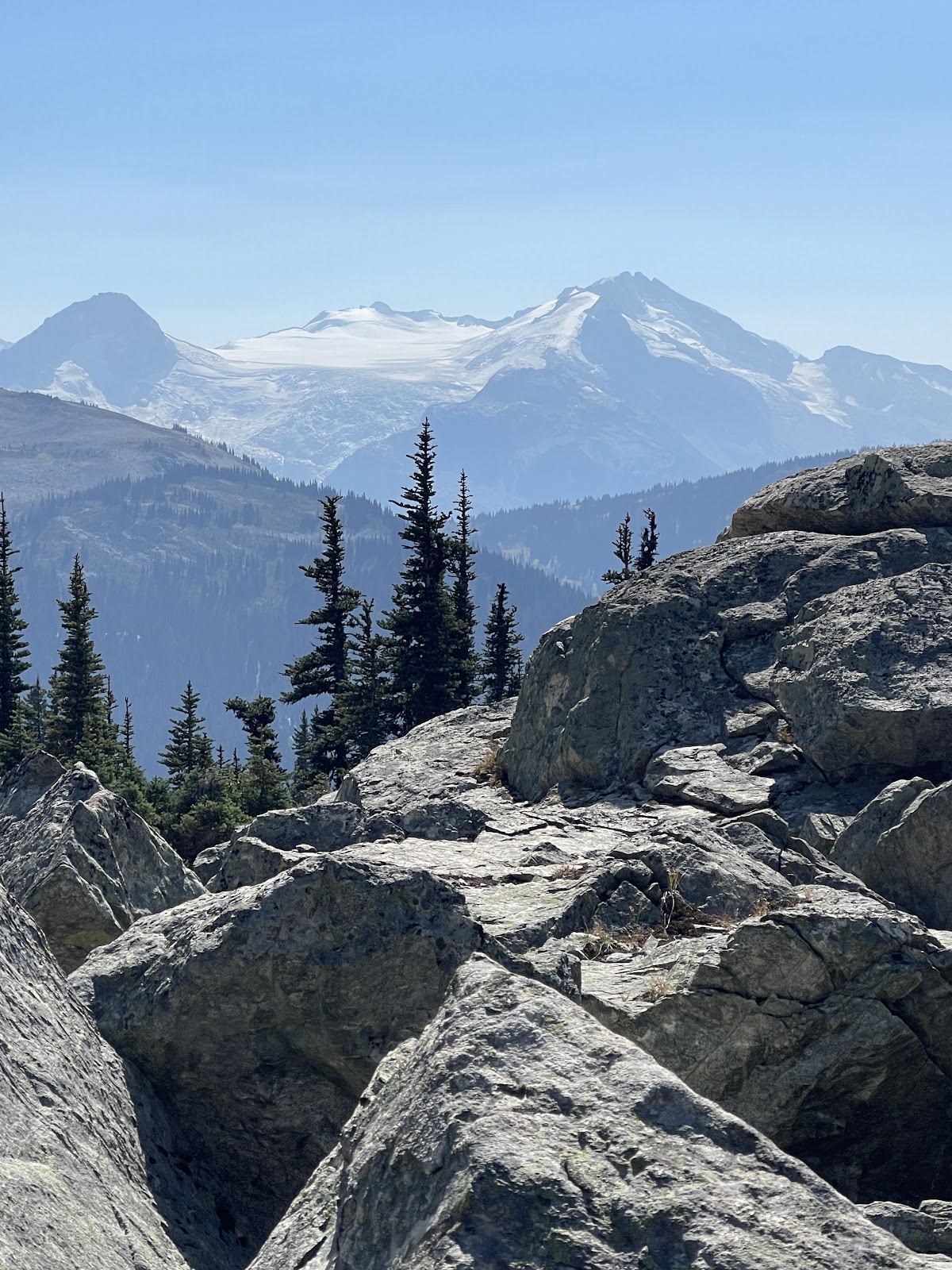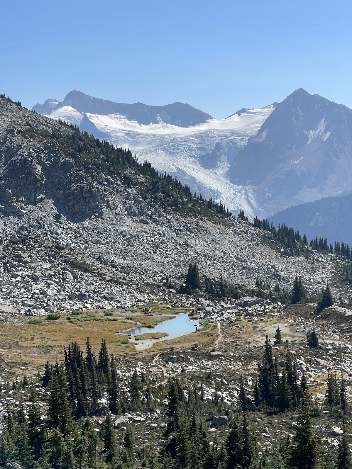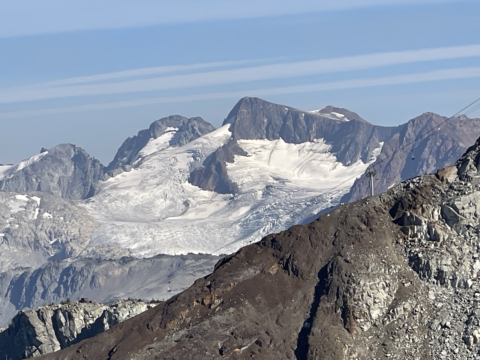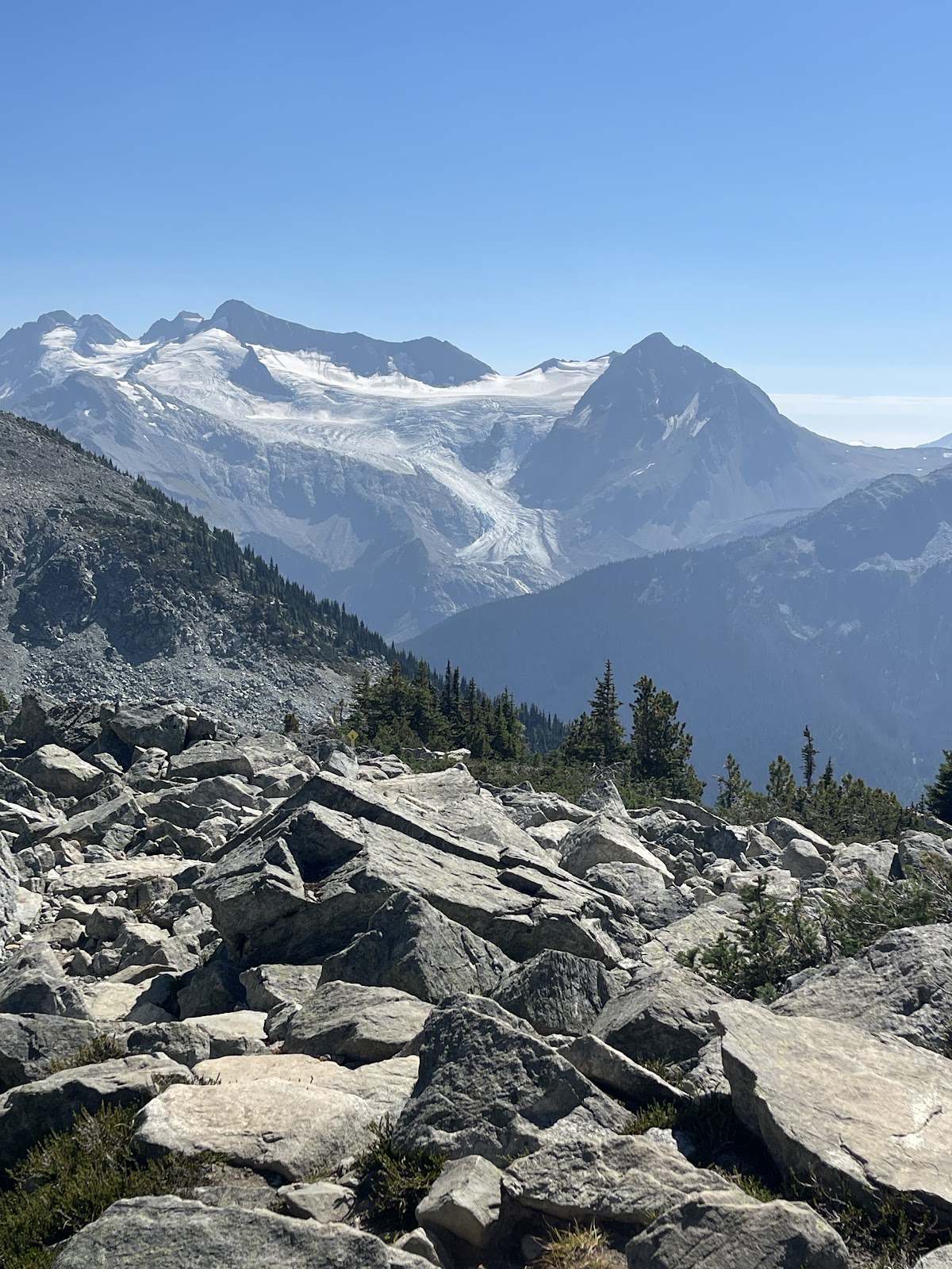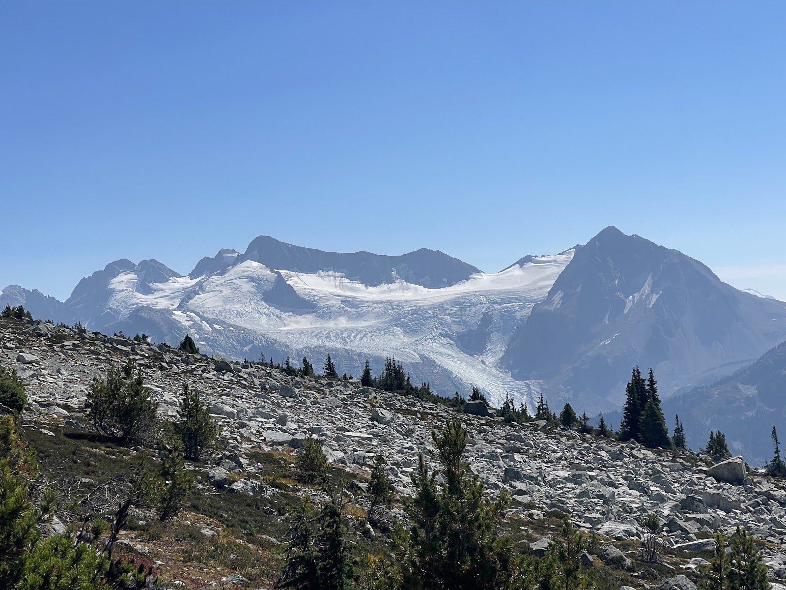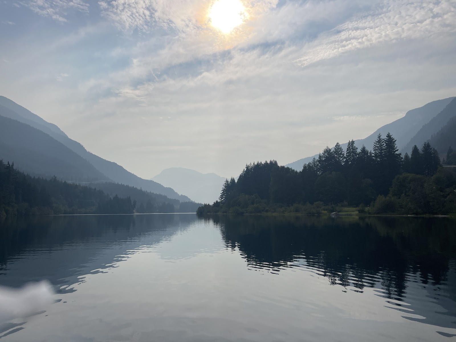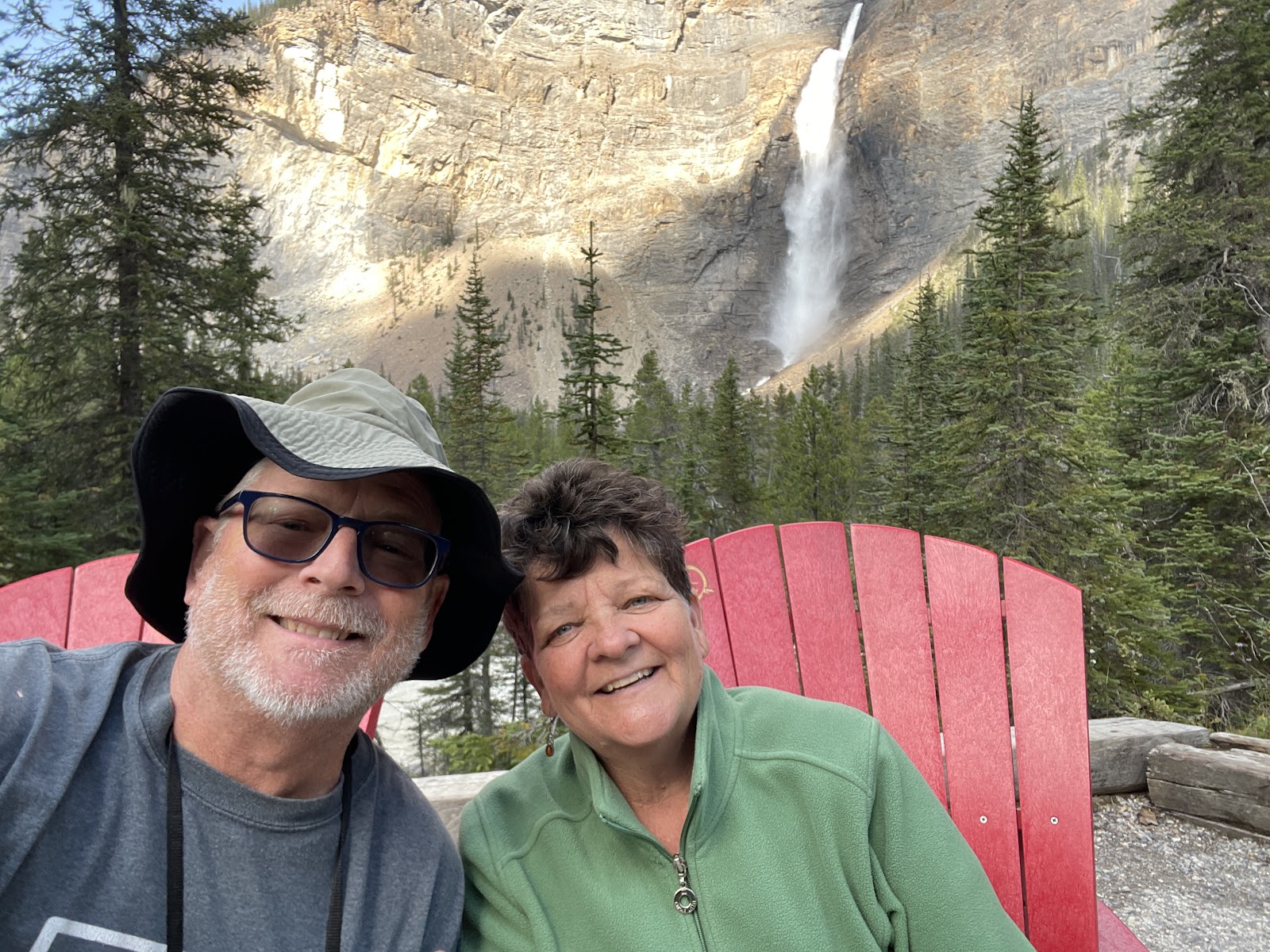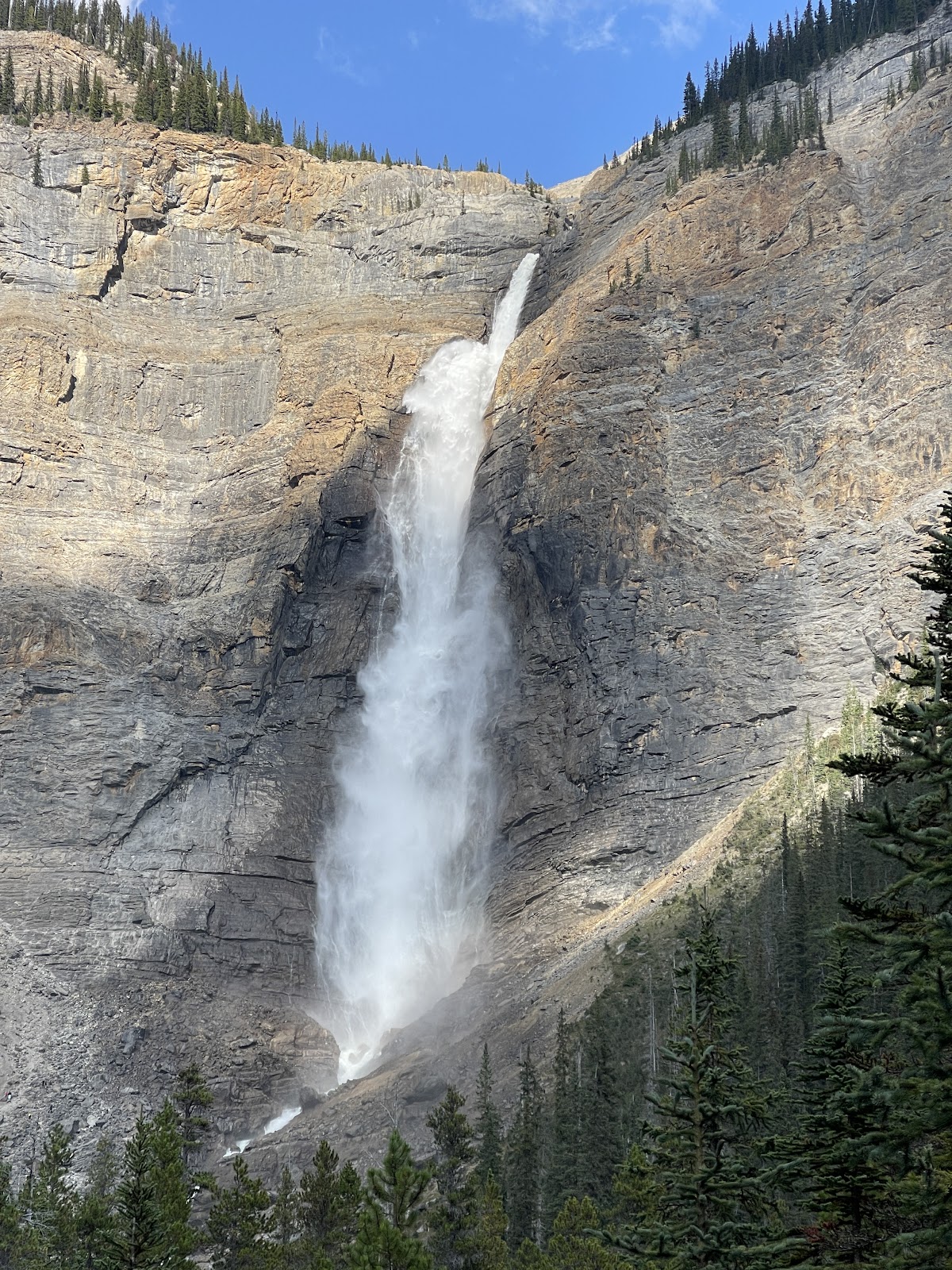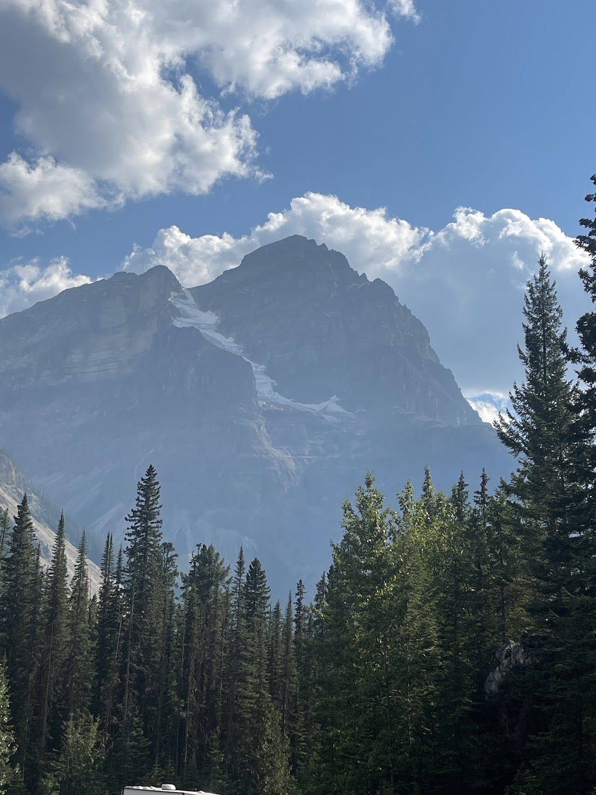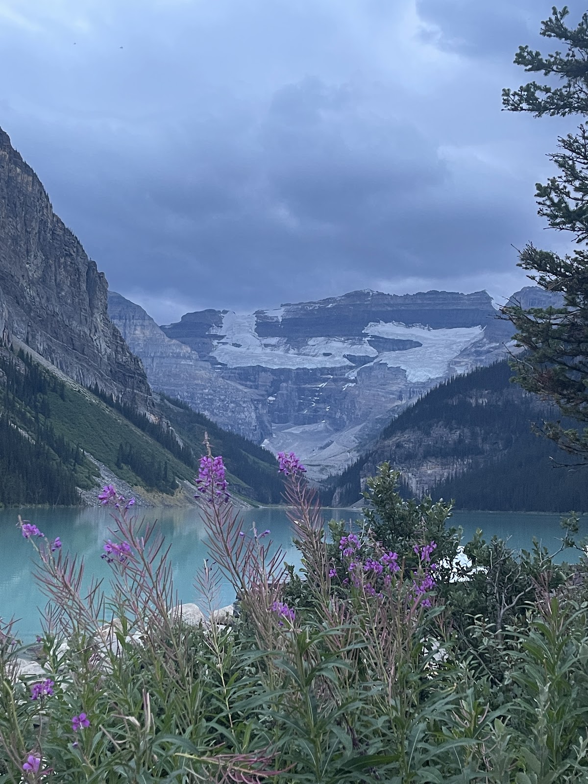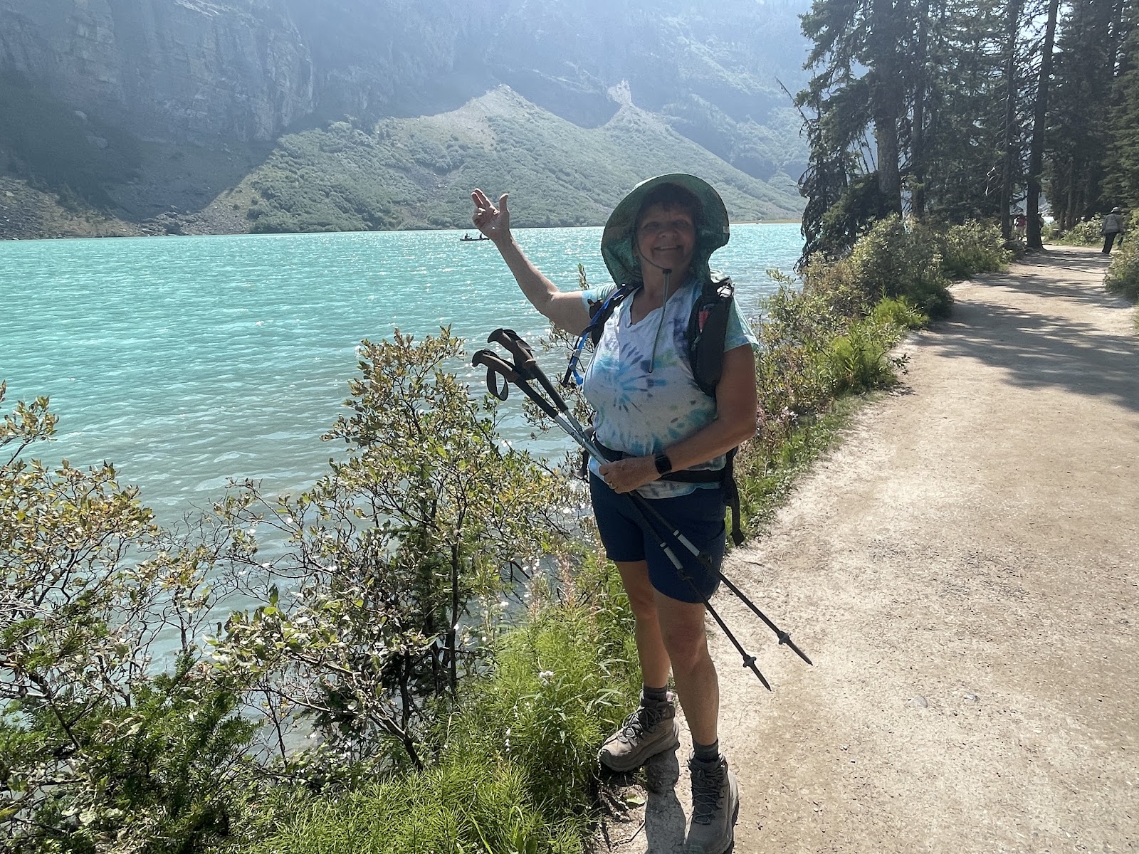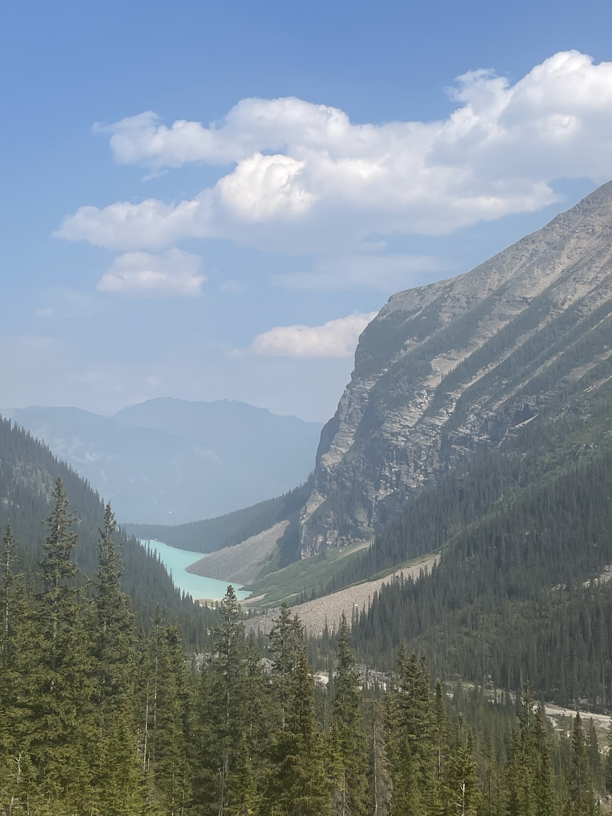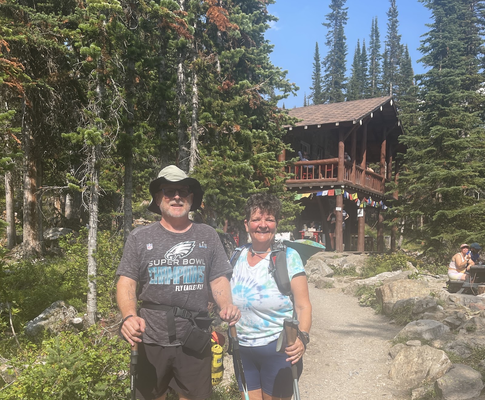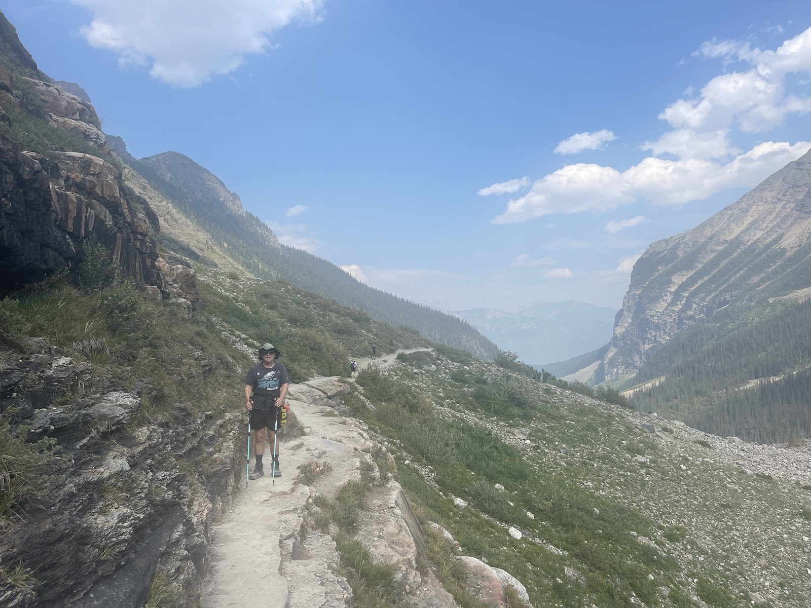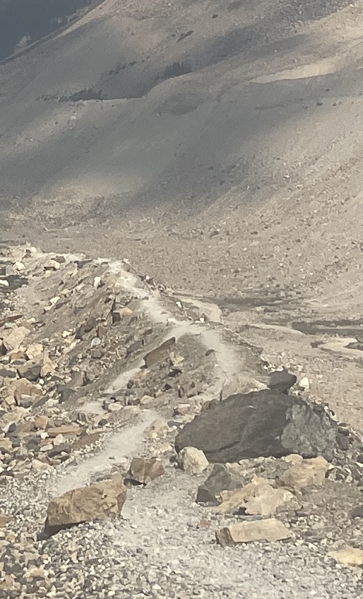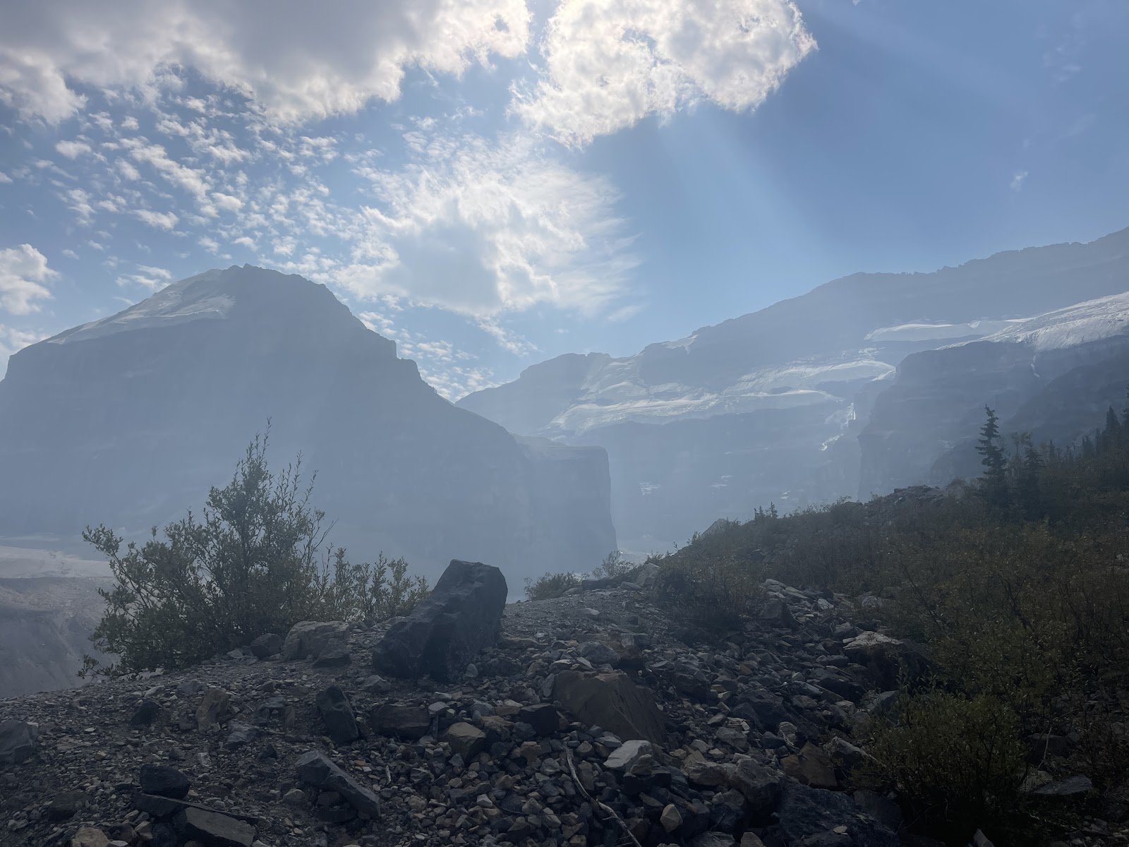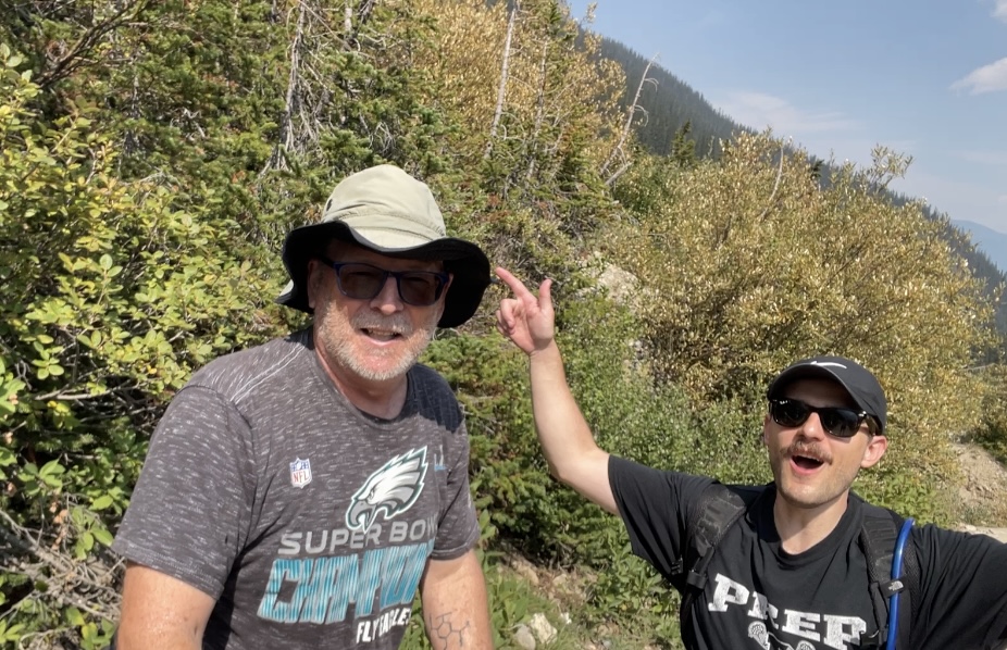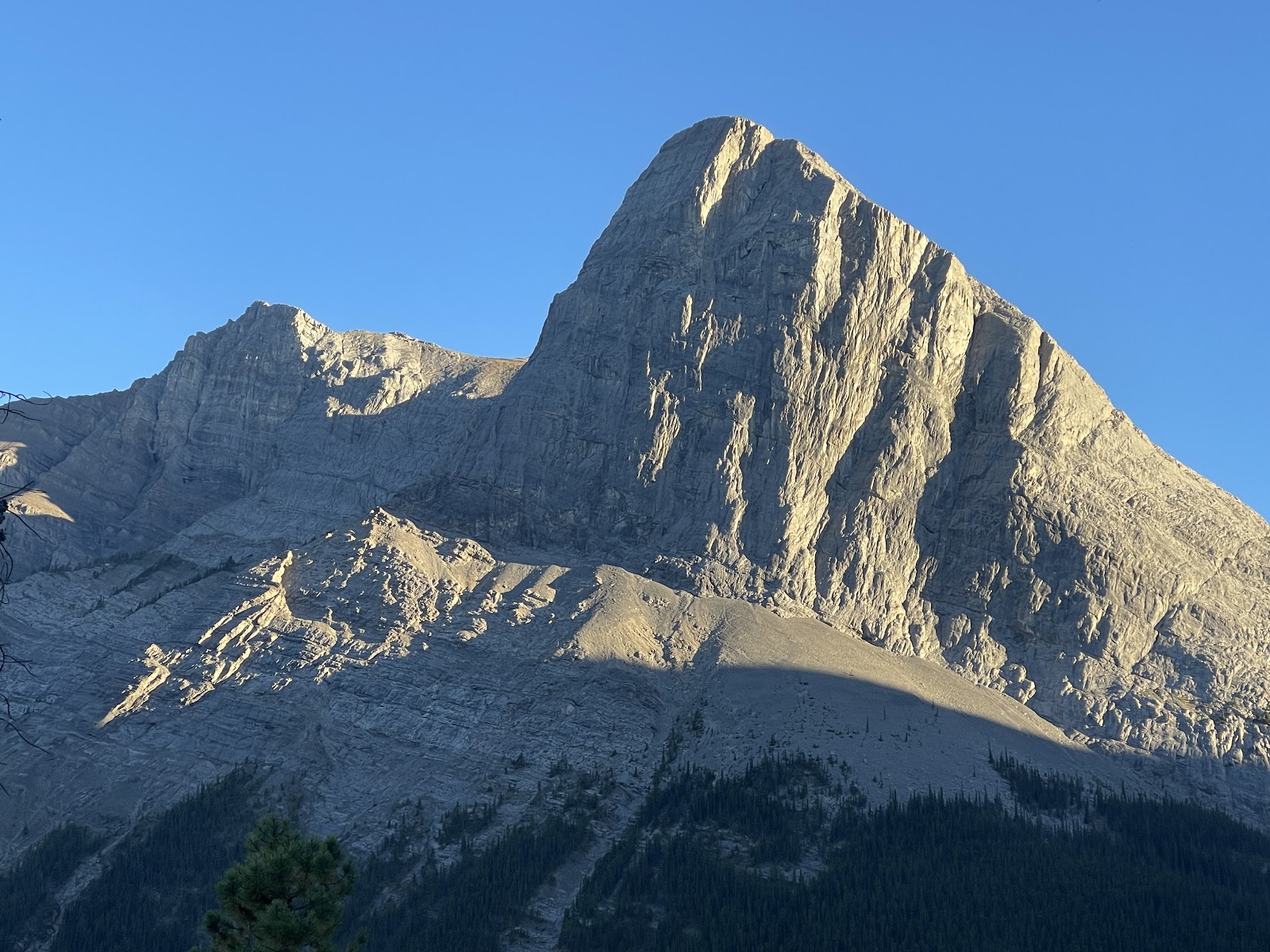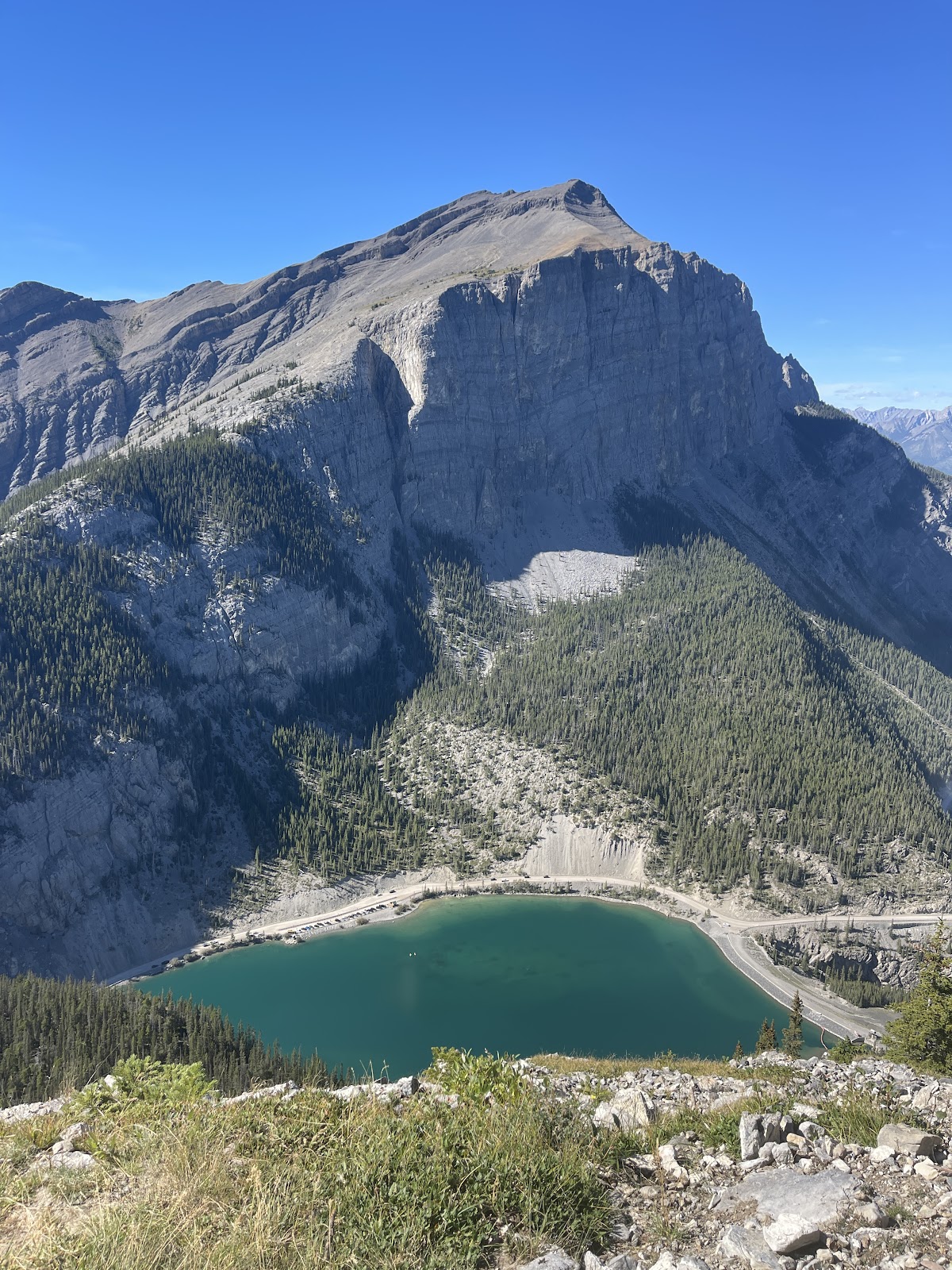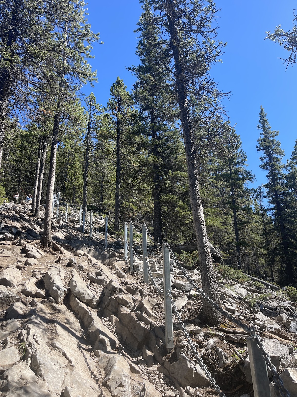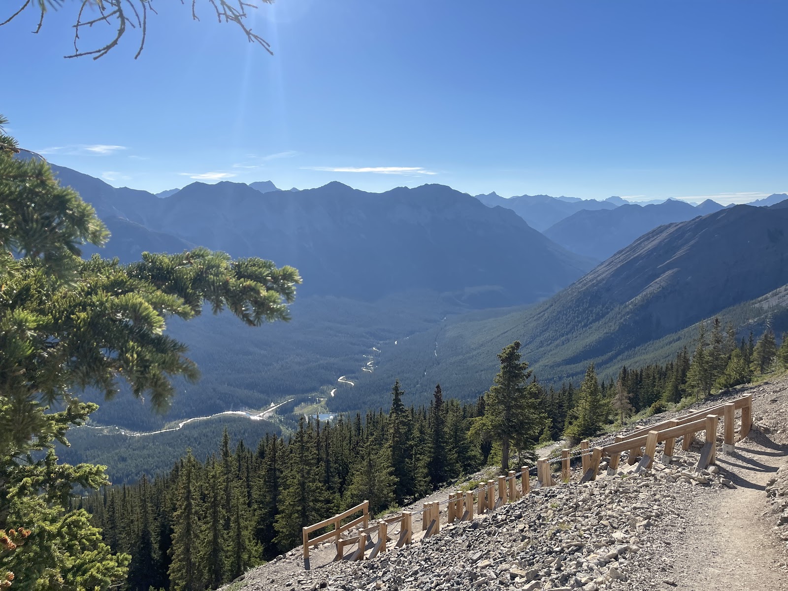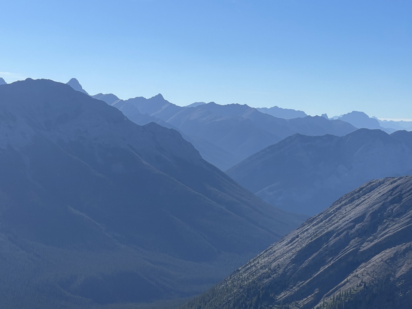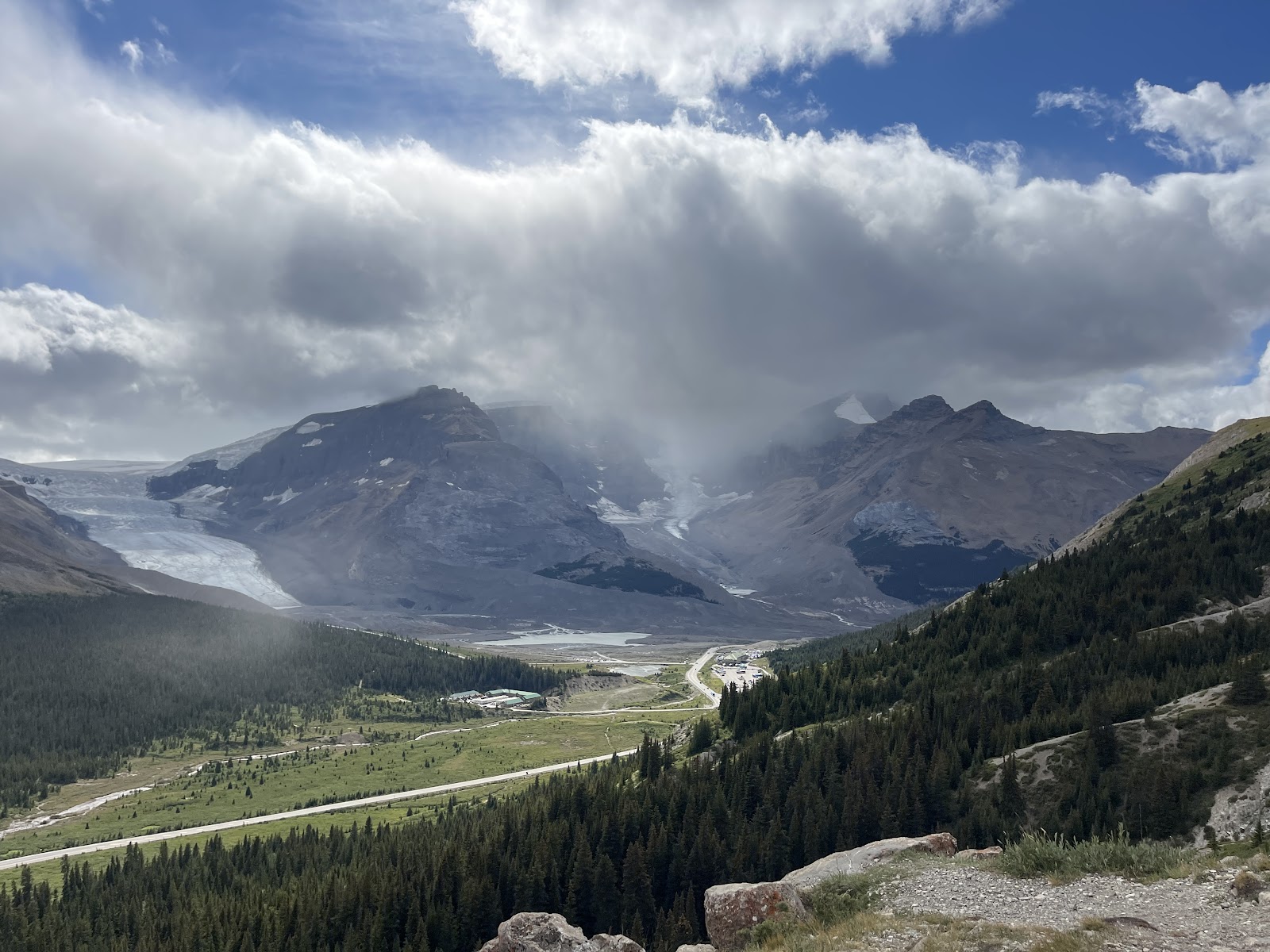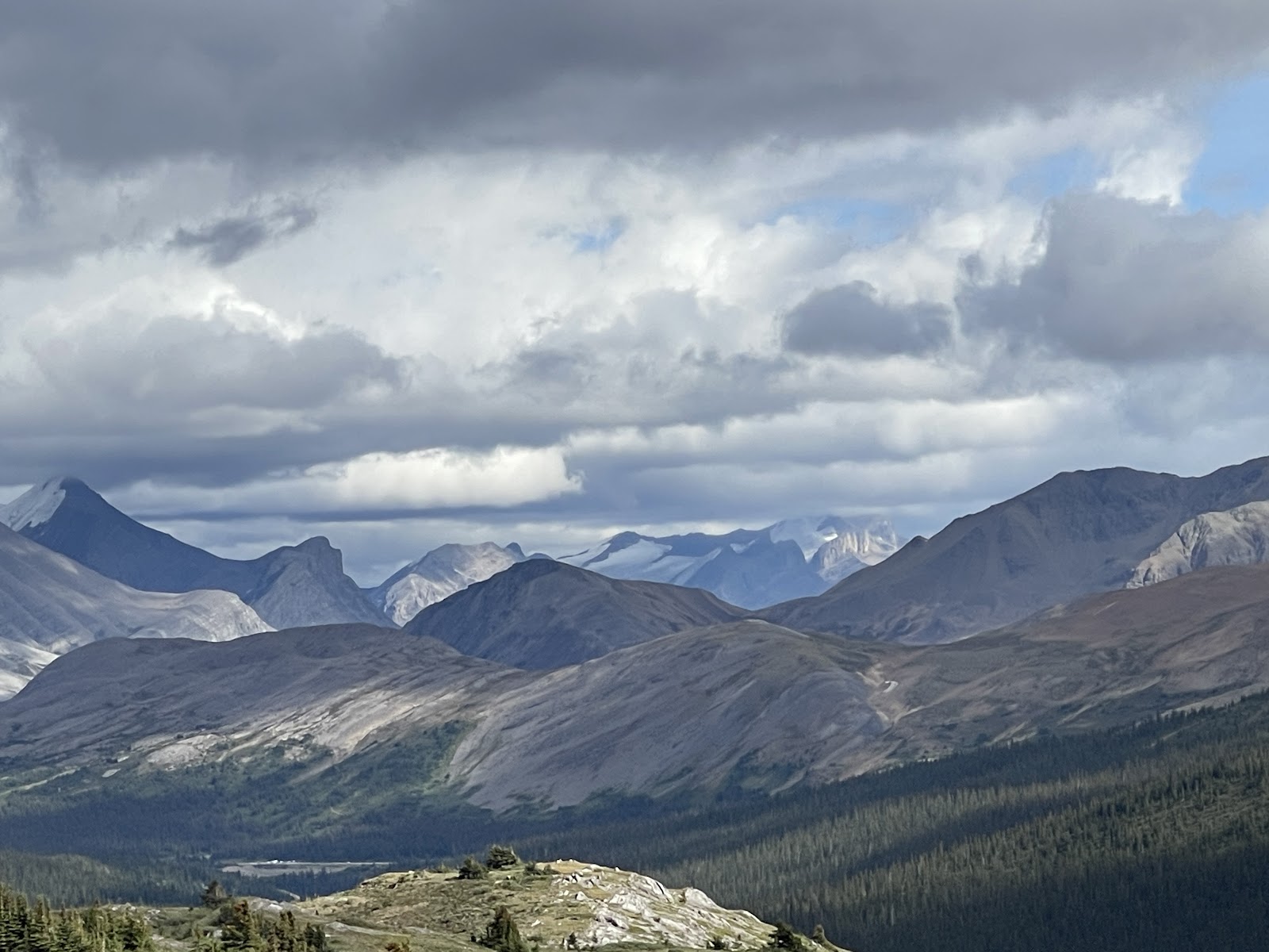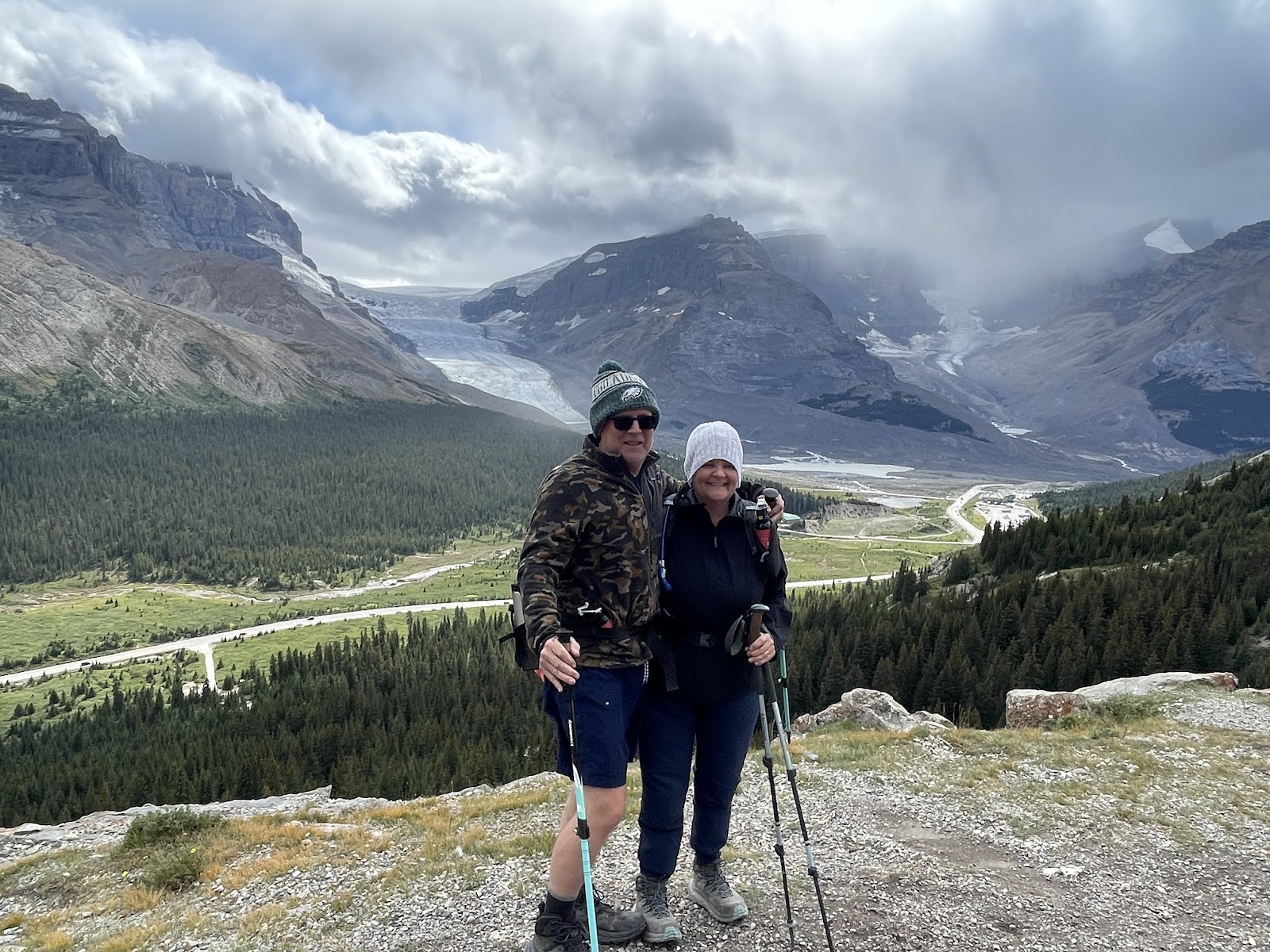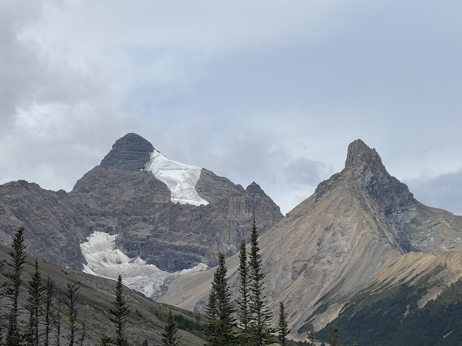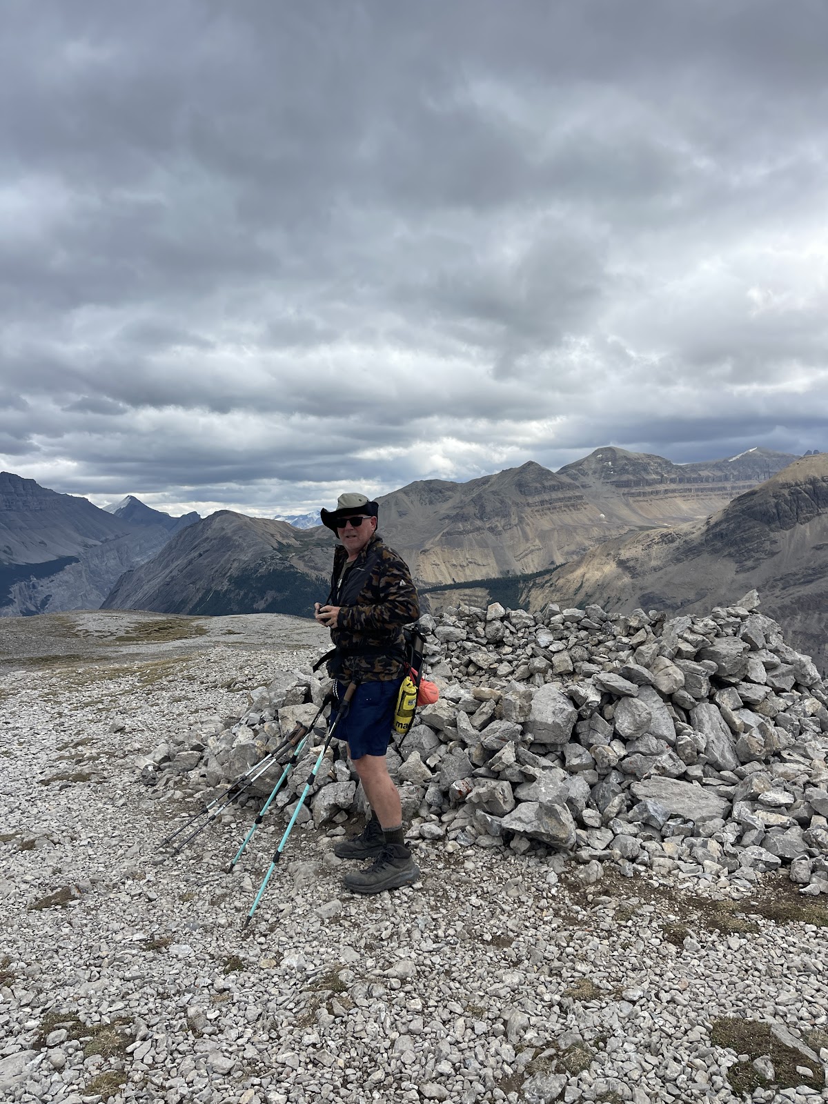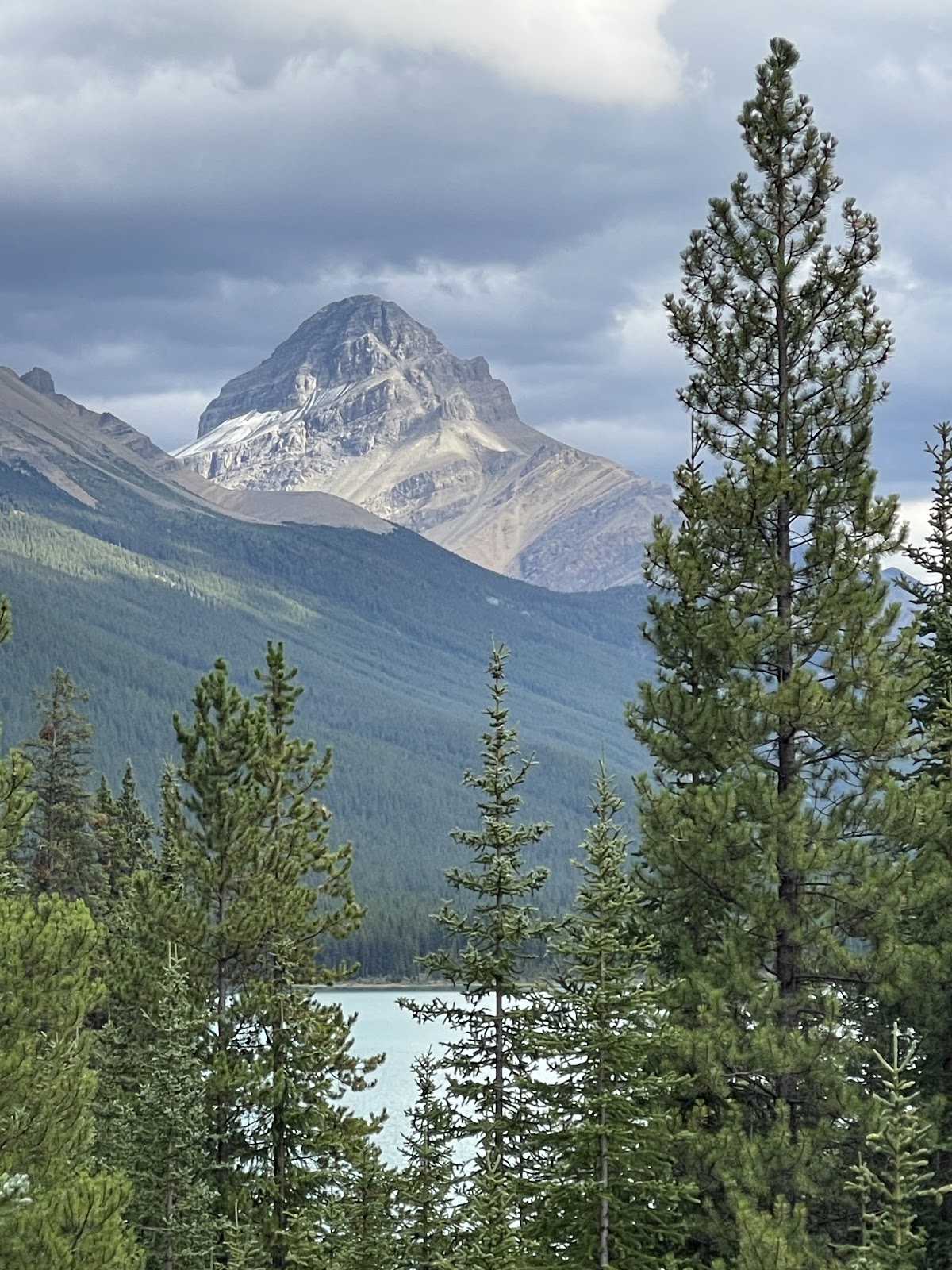
It’s another Athabasca Day, this time seeing the Athabasca Glacier way up high from across the Valley at Wilcox Pass as well as Snow Dome Glacier and Dome Glacier on the way up.
Yes, a steroid Canadian Rocky Moment.
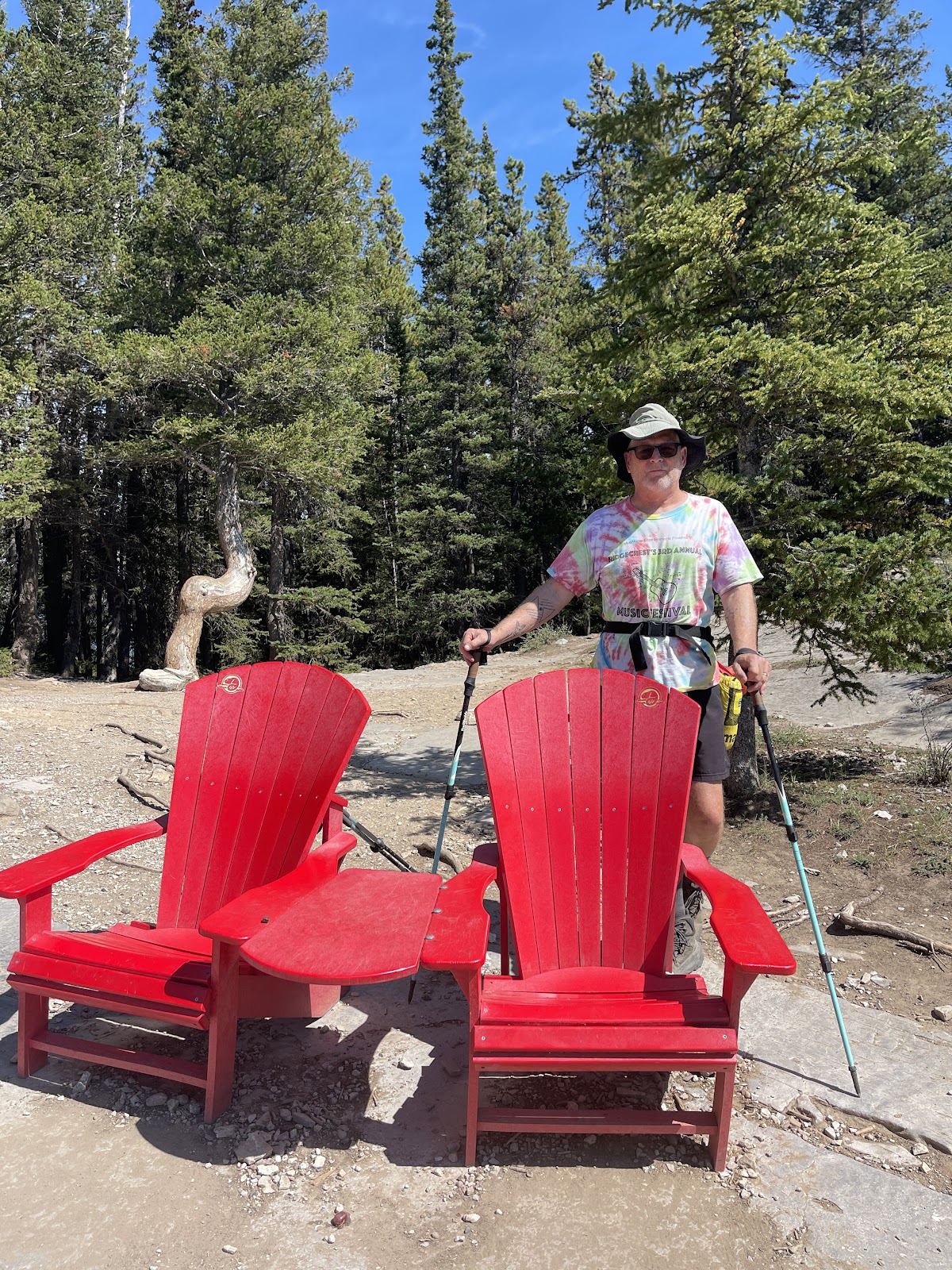
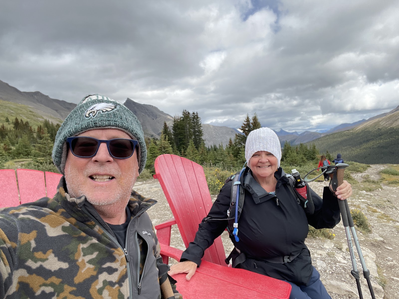
We were able to experience the Athabasca Glacier from afar this time on this incredible, 7 mile, Wilcox Pass Hike through the Christmas Tree forest, to the windy cold infamous Red Chairs about 1 mile up,
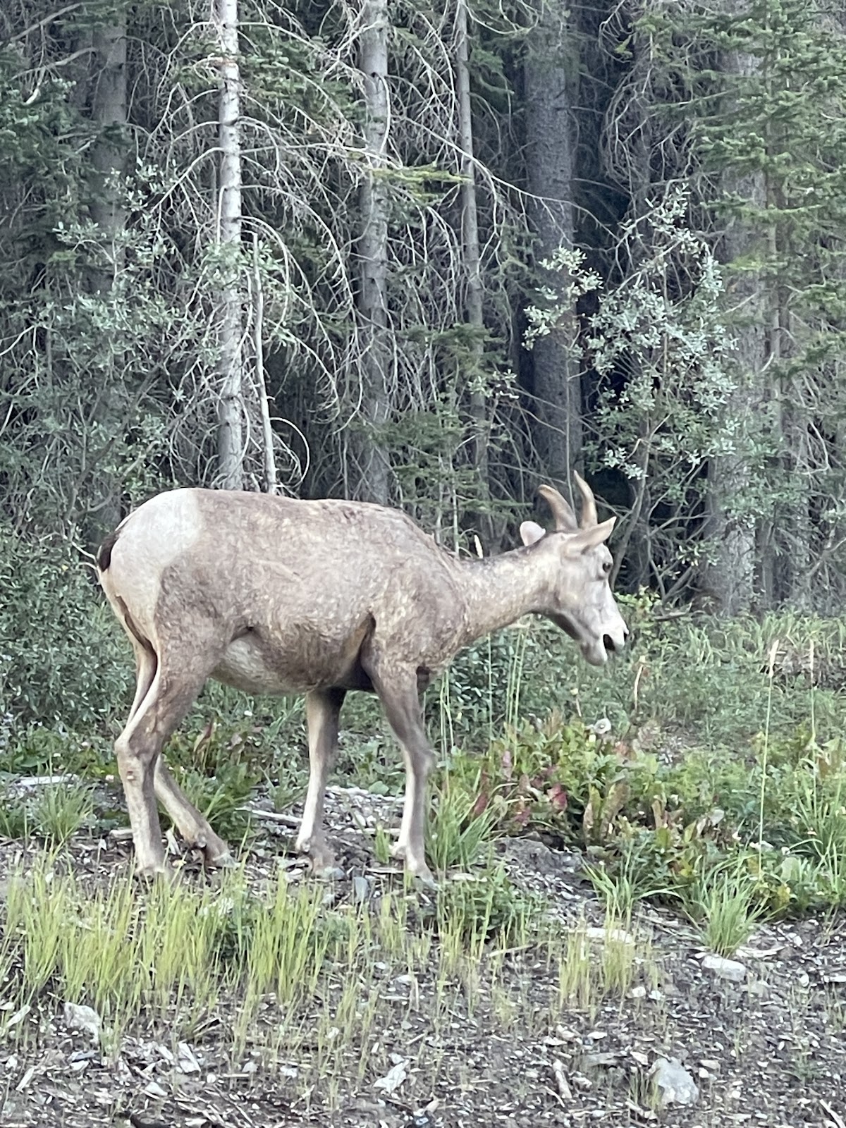
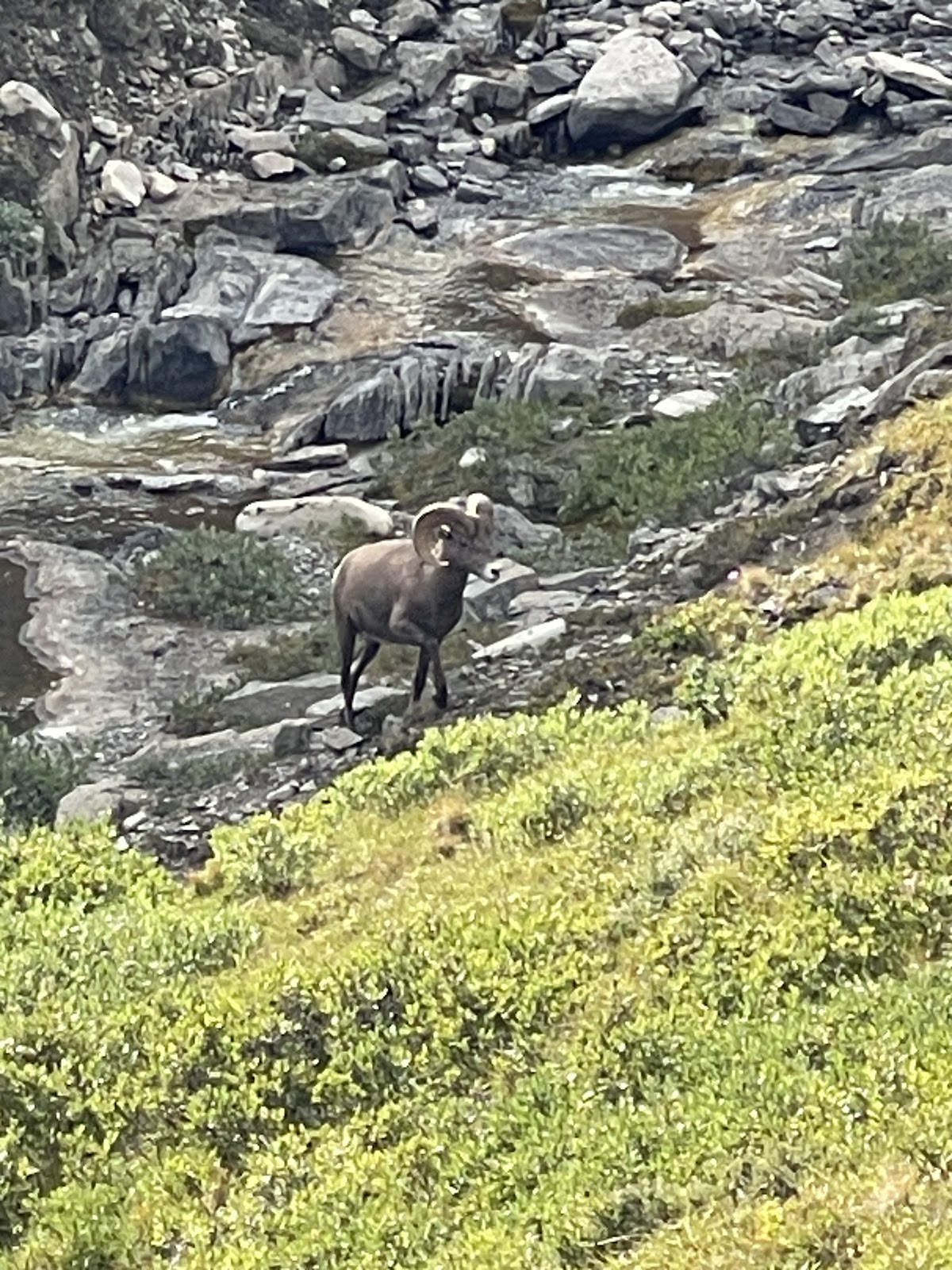
And onto the peak with sun, wind, clouds and rain sprinkles and through the alpine meadows where we saw bighorn sheep grazing.
The weather was quite varied and we started the hike by taking a nap because it started to rain, but then parts of the sky were blue and the sun shown in the puffy cloudy day so we were off to peel off all the layers in some sections, getting blown where I needed to wear my beanie as face protection, to getting out puffy jacket/purple gloves on the way back.
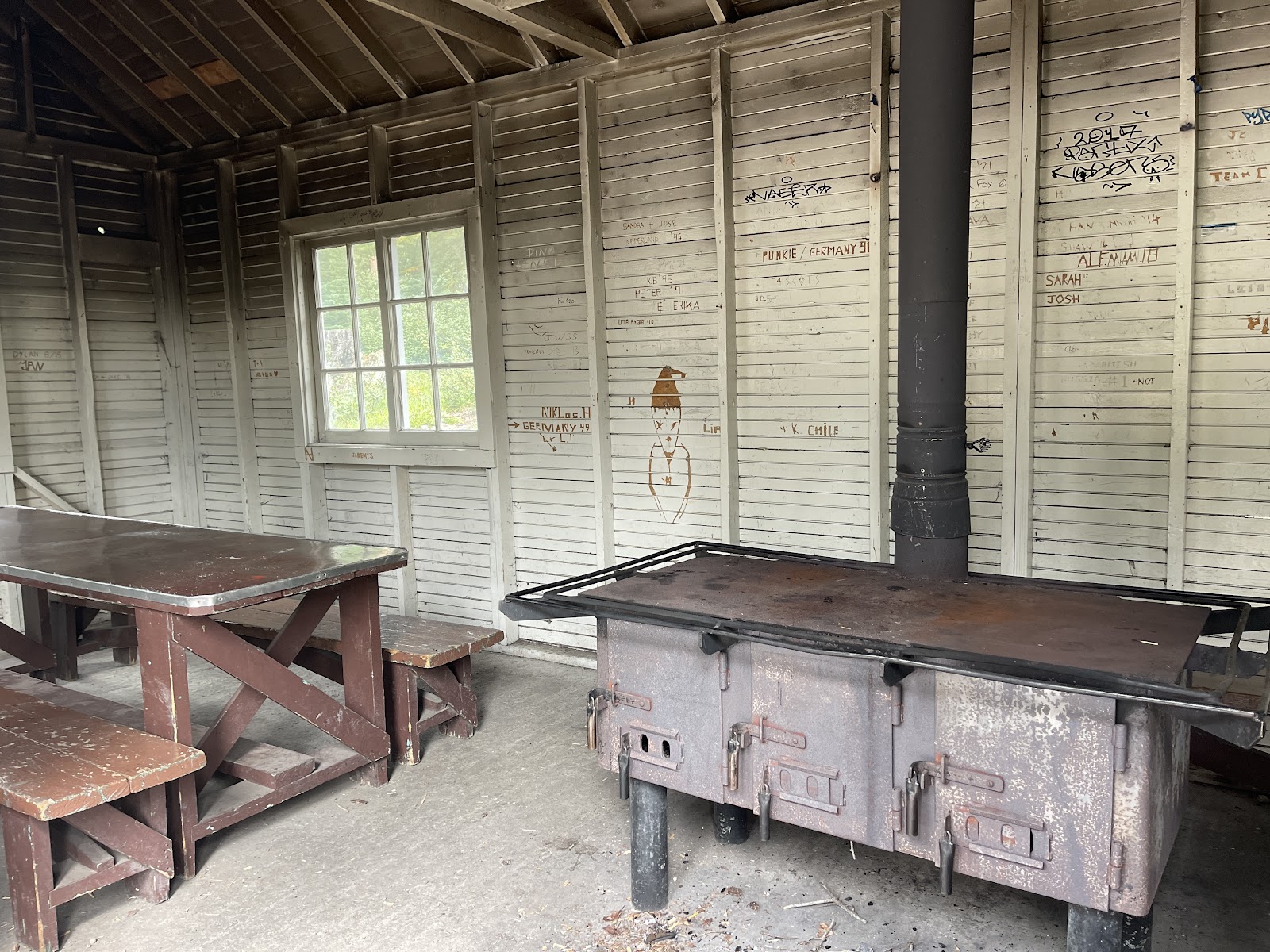
Back to our most rustic first come first serve campground, Wilcox Creek, where we had already self-registered and accumulated fire wood for the evening. As we descended the mountain, it became still and the fire, not only built for ambiance, but also kept us warm, as we had our bear spray on the ready fireside. Seems like Canadian campgrounds have kitchen areas with tables, water, and this one even had a huge wood burning cast iron stove that was burning hot out of the shelter’s chimney when we arrived back at camp.
And it got cold and I could even see my breath this morning.
Parker Ridge Hike
Another day another glacier viewing hike,
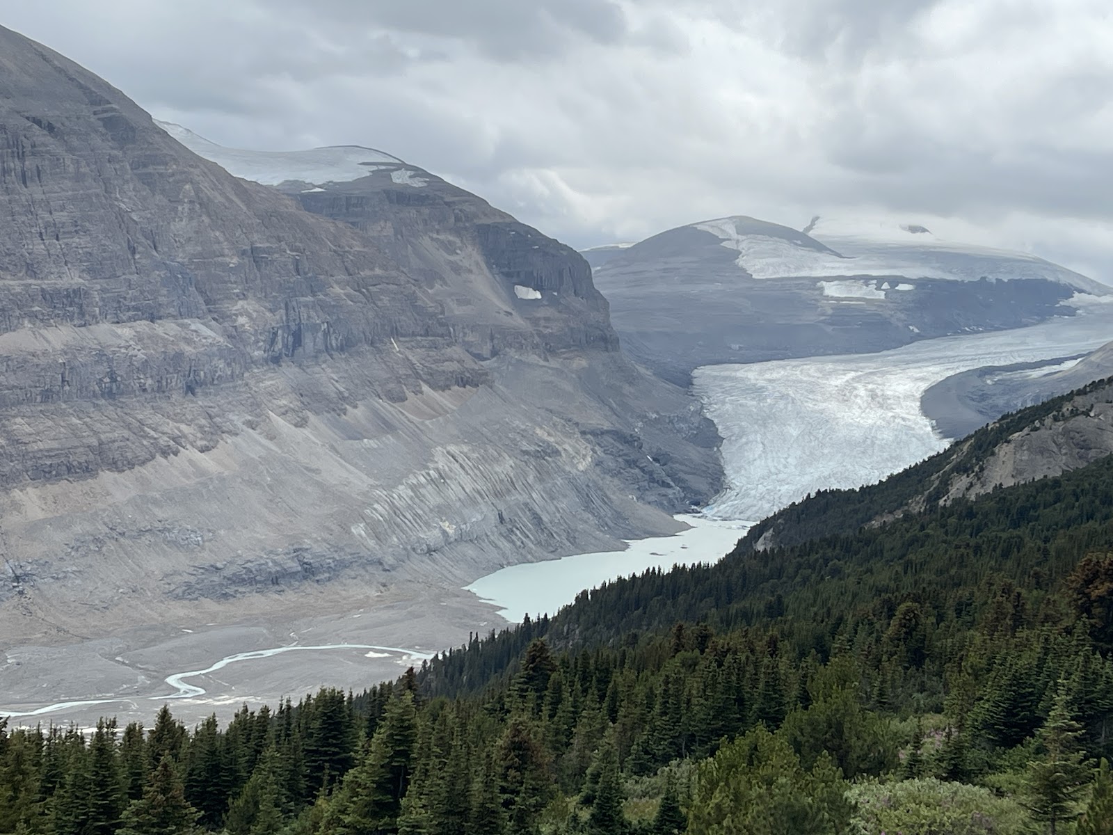
Parker Ridge, we are again surrounded by the dominating mountains. Saskatchewan Glacier, the largest of the Columbia Icefields Valley is in grand view.
Another hike through the Christmas Trees, and up to the alpine meadow. We first took the main trail that went along a steep ledge to the end. This included some rocky ledges about which John was not too excited.
All along the trail, a beautiful view of the meandering, light blue milky Saskatchewan River into which the glacier(s) flows. Then we took an off shoot up higher here the wind blew and on went puffy green. I forgot John’s Eagles hat so he had only his sunhat and shorts. Well, after two days of 5 mile plus hike with elevation gains of over 1000 feet, we sat back and enjoyed the Columbia Icefields Parkway ride into our next stop, Lake Louise Campground.
We couldn’t resist stopping at some viewpoints along the way. I was intrigued by Panther Falls, which I learned afterward is a short up and back .8 mile hike, which normally would be a nice leg stretcher at 256ft elevation gain. Around the Big Bend (no, not Texas) Over the Saskatchewan River to more blue, blue Lakes.
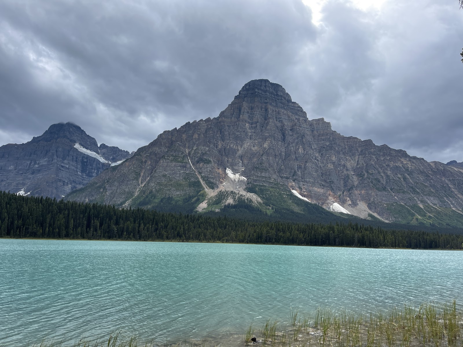
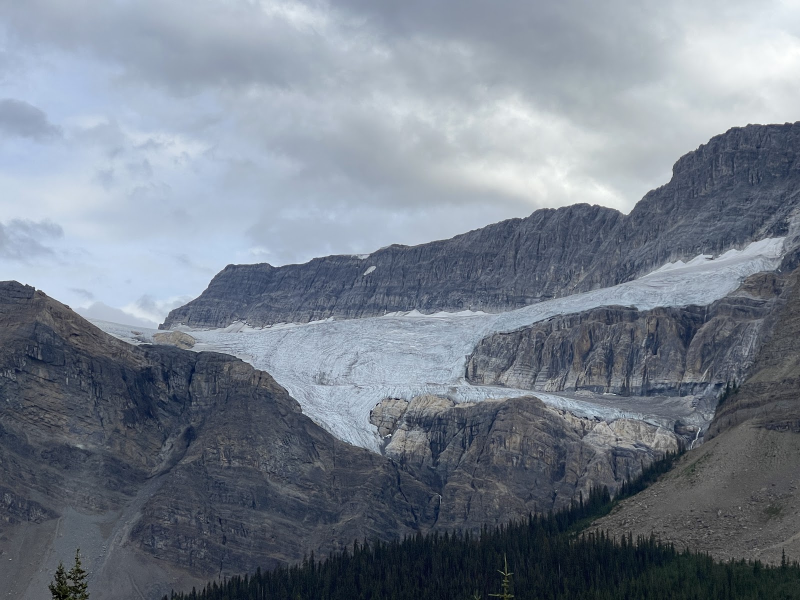
Waterfowl Lake was beautiful and also has a campground. Then Bow Lake and Crawford Glacier ~had to stop and take a pic for our favorite Crawford’s, Steve and Terri.
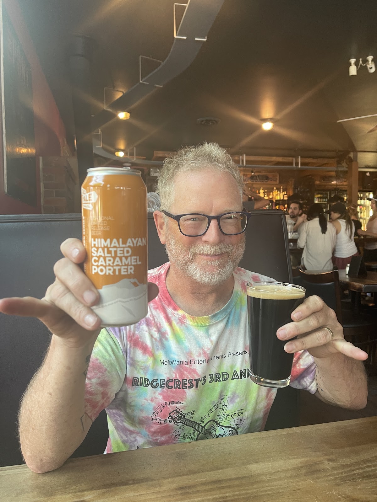
Of course upon arrival in most places, a brewery was in order.
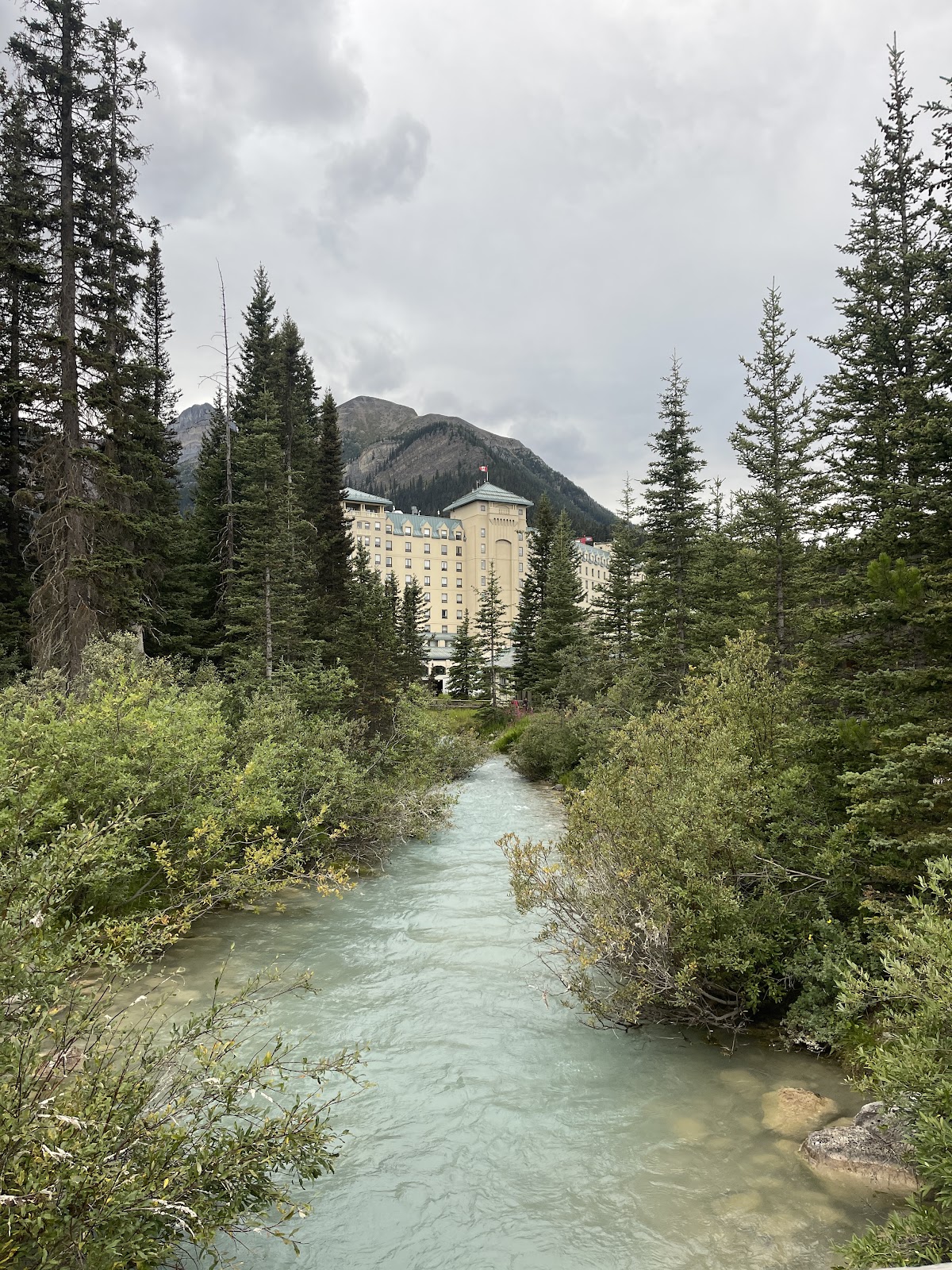
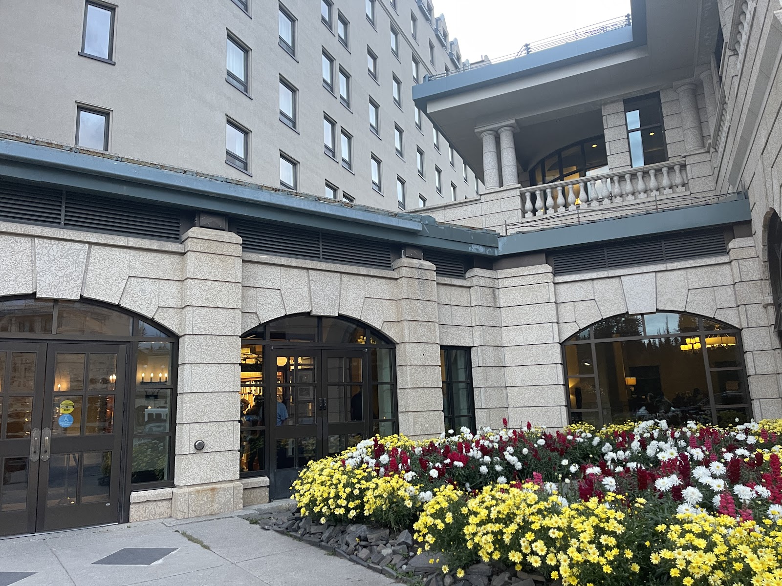
This time a very fancy pants place down in the basement of the Fairmont Hotel which is right
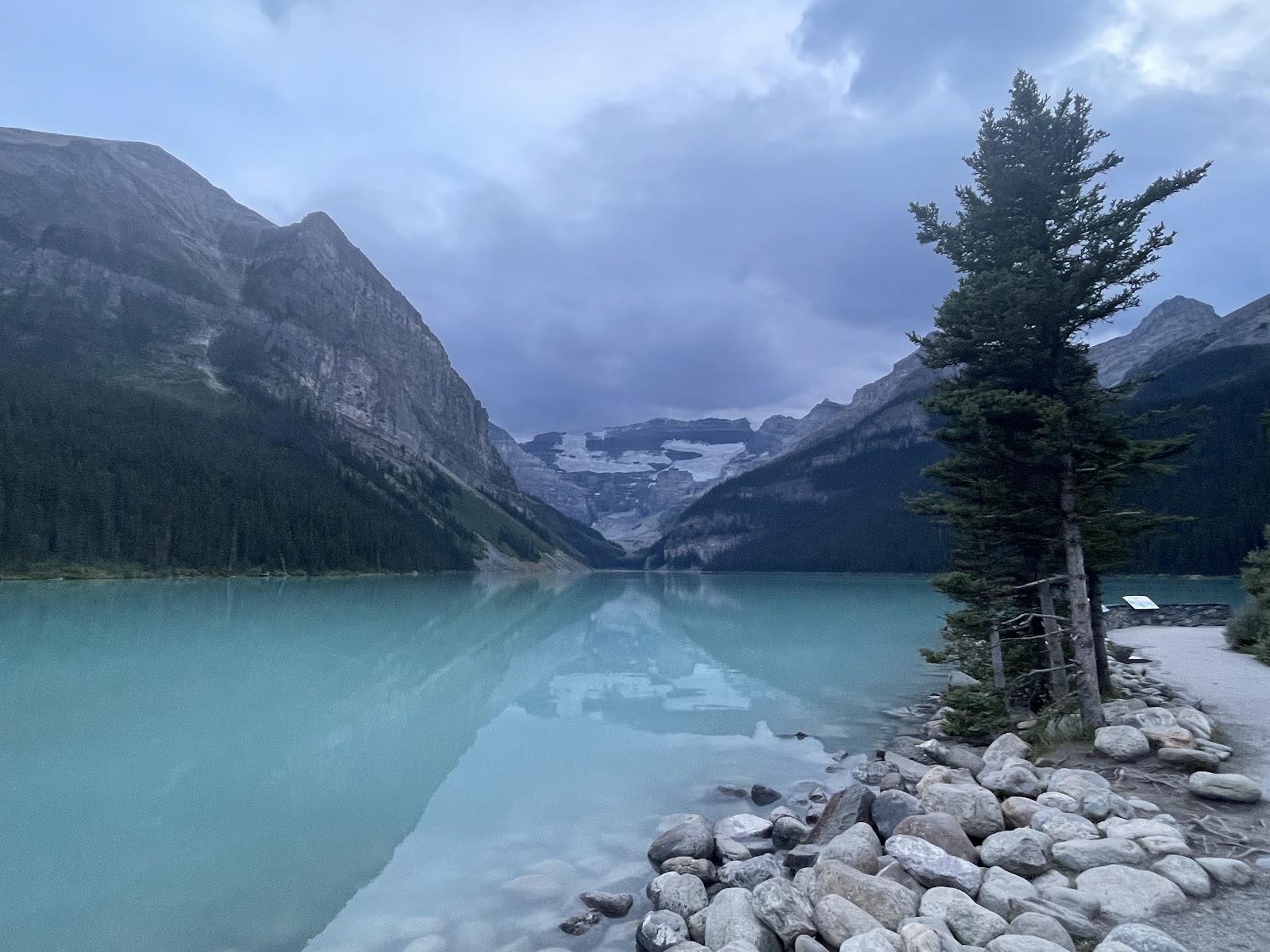
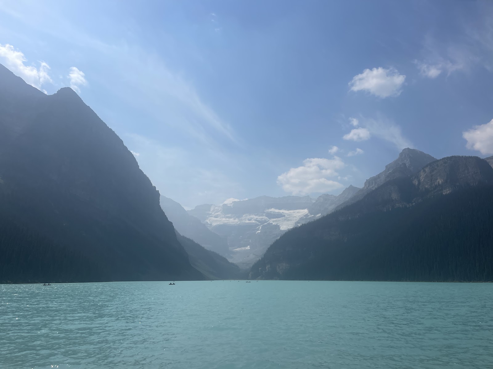
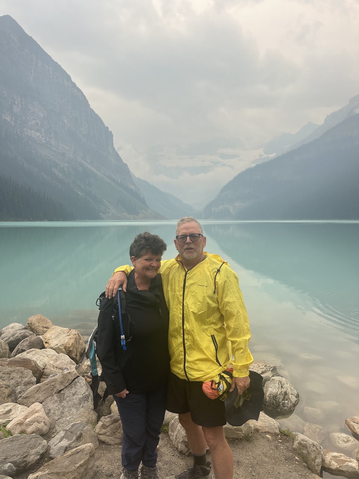
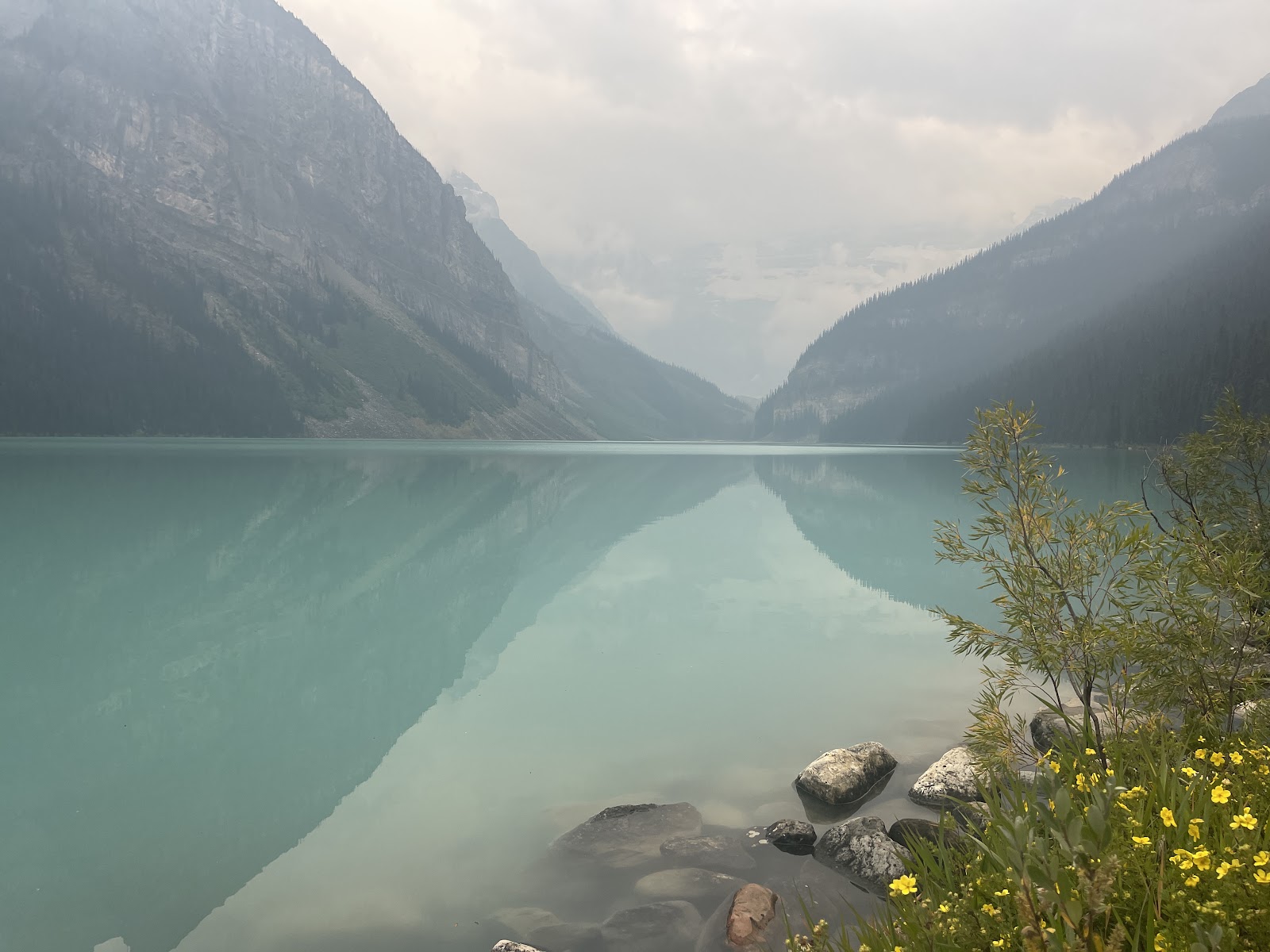
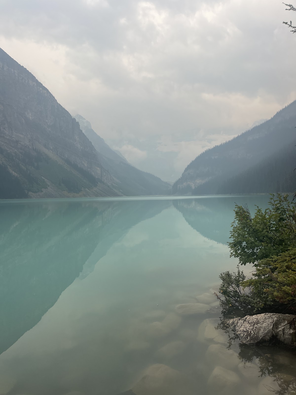
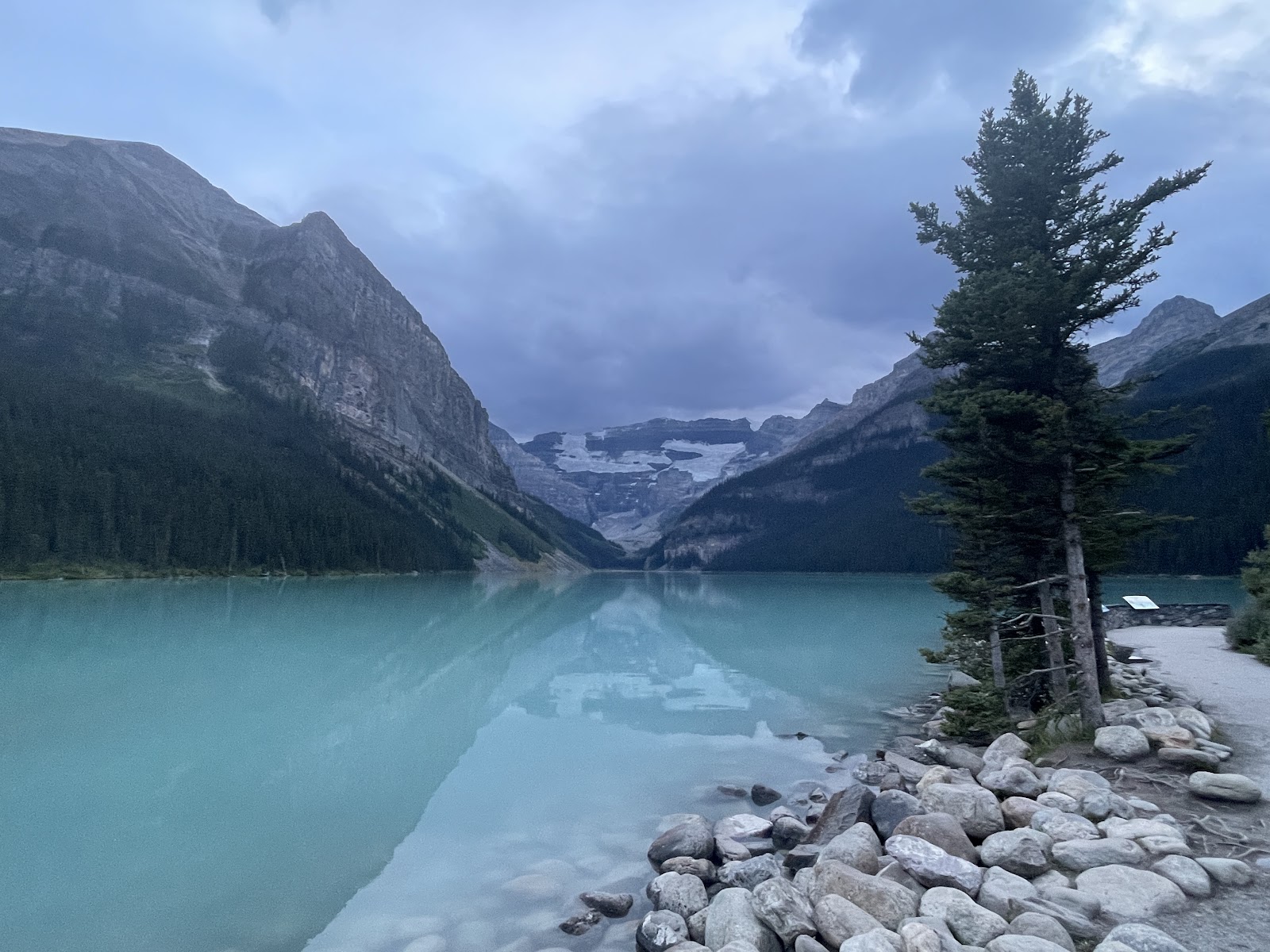
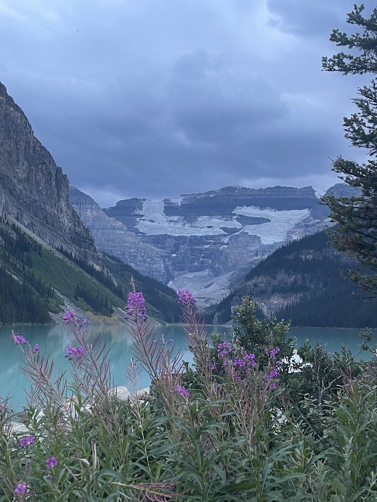
on the famous Lake Louise.
Normally parking is for Hotel Guests only, but as it was 7pm, things were emptying out and we scored. I don’t think we saw Louise in her blue glory since it was getting dark.
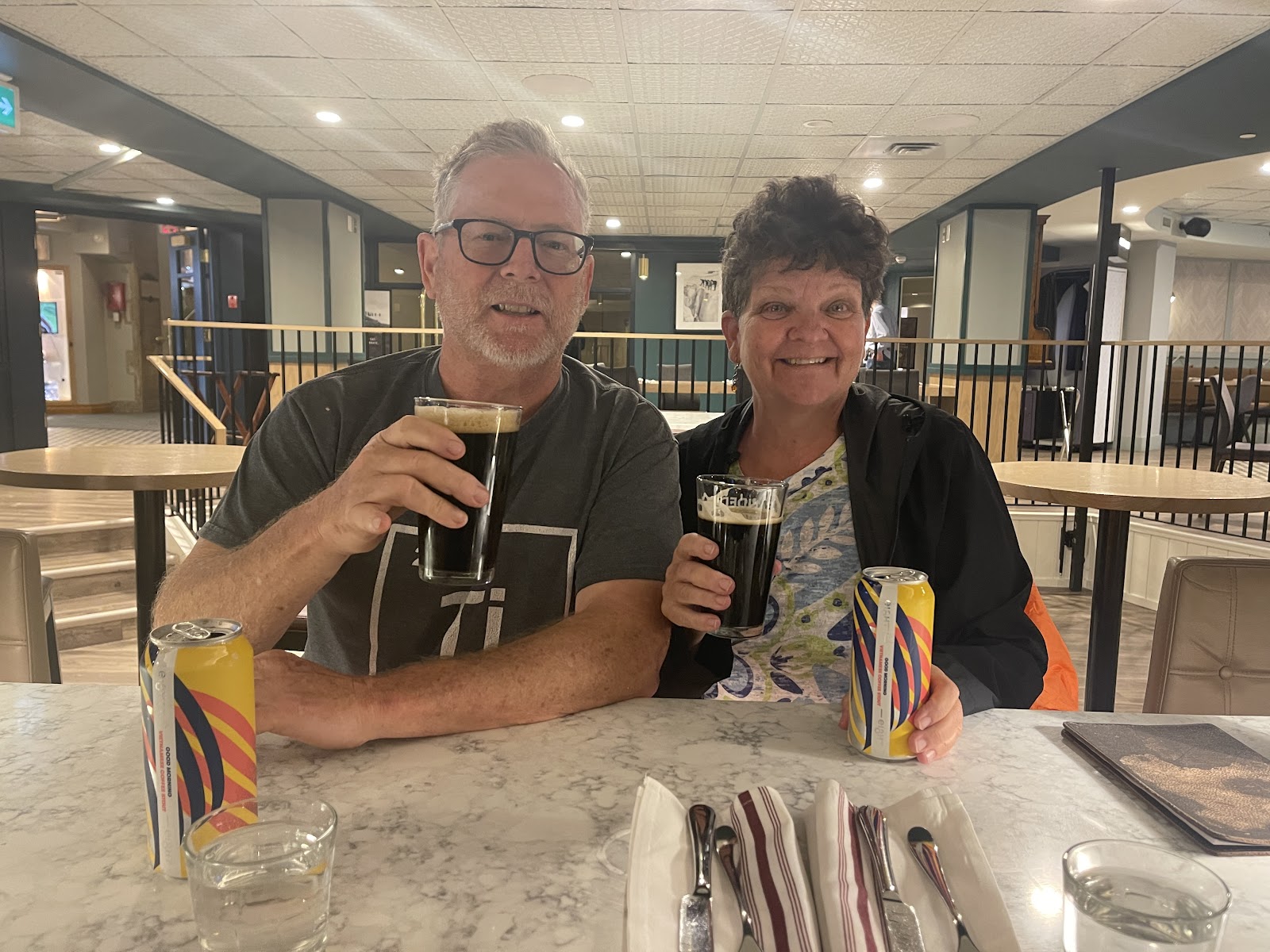
Greeted with a grand hotel setting, women playing and a grand piano in the lobby, we snuck by the “Hotel Guests Only” sign to descend to the restaurant bar. Luckily they had John’s new favorite Good Morning Vietnam Coffee Stout, not on tap like the Birch, but good enough, and the food very good. It’s so nice to have daylight and we arrived around 10pm to our lovely wooded campsite for the night at Lake Louise Trailer (hard side). Evidently the soft side area has an electric fence around it for bear mitigation. We had also discovered John needed a new tube and the tire was balding so needed to look into that.
As soon as we got into Jasper Country the milky light blue water of Athabasca River pulled us out of Vinny and we staggered down to the sandy beach.
It was a very placid wide shallow section and others were frolicking in her water, and they didn’t even look cold ~Never have seen this glacier flour water, as it has glacier particulates that cause the color. The Athabasca flows in a northeast direction and at this point we were 200 kilometers from its Glacier Source, and it had warmed up and gotten peaceful, much different than we would discover upstream.
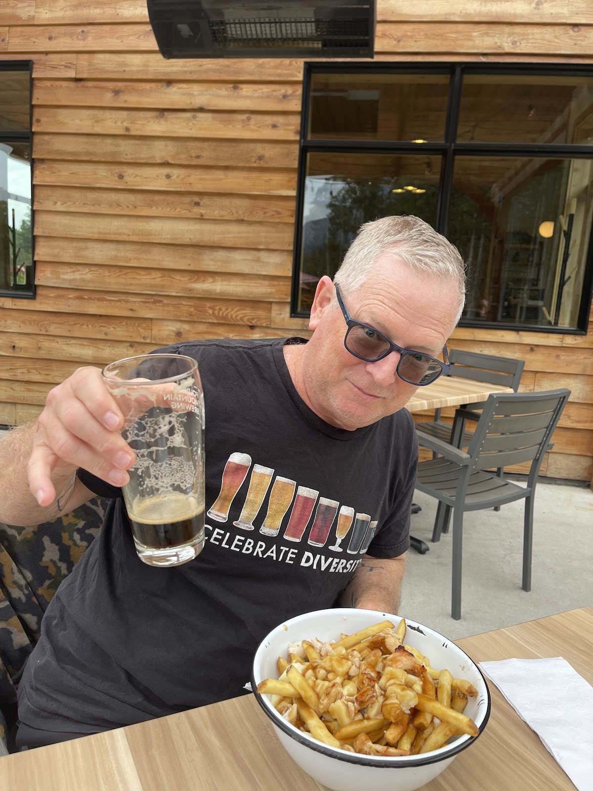
In the excitement to get to those Canadian Rockies we had pulled a 400 mile day out of Minnesota, and arrived to get our National Park Pass site and bit of info before overnighting at the Jasper Gates RV Park outside of Hinton. Little beknownst to us, Folding Mountain Brewery is almost on the same property. The first Canadian Poutine (French fries, cheese curds, peppered gravy) was experienced. Food, atmosphere, even a bit of Cornhole was enjoyed on the first evening after our butt relief hike around the campground trail. Jasper here we come.
Around Snaring we entered the mountain ranges with the Sulphur Range Granite spires commanding the area. Luckily the road was closed because the hike is supposed to be tremendous, but I read mixed reviews about the scrambling on the rocks which is not our cup of tea, so we didn’t even need to make that choice.
There was nothing on the spreadsheet for the night, so the first order of business was to find a Vinny overnight spot. Luckily Wapiti Campground has this first come first serve overflow area with electricity, but otherwise like a parking lot. It was perfect and our site was 100 yards down a bank to the Athabasca River, only this time it was moving and John and I got inspired to find a rafting trip as we watched the rafts go by.
The weather was to be superb in the next few days, so Edith Cavell Trailhead here we come.
This was an incredible hike as we first hiked high on the mountain tops
and saw Cavell Glacier calving (snow wall crashing into the green milky glacier lake below).
Then we would hike down to lake level and experience this from the ground floor. While hiking high above the glacier, we heard and saw rocks tumbling from the mountains. This was one of the reasons we decided not to go and stick our toes in the Lake Cavell
Calming fire with a bit of Salted Caramel Whiskey that night. In Canada there is firewood available if you buy a fire permit for $10, what a deal! We decided we would like to cancel our Whistlers reservation and stay longer, but missed the memo that required us to sign up before 8am when the line formed and our spot was sold away. Oh well, I had a beautiful morning coffee by the Athabasca.
But this is an excellent resource and both Wapiti and Whistlers are a bike trail ride into the town of Jasper.
Jasper Sky Tram to see the Canadian Rockies from the top of the world on the Whistlers Summit Trail. We traversed up side trails to the left that provided extensive views at a less rapid elevation gain instead of the path straight up. Dirt in My Shoes podcasters had described the Canadian Rockies as Mountain Ranges on Steroids and this is right on!
We were again mesmerized by the Athabasca River and could see it flow along the Ice Fields Parkway near Banff down past Jasper with its milky light blue color dominant along the way.
Sometimes it broadened and even had islands within its shores. Other times it curved and got narrow as it made its way north east. And the deeper aqua and blue waters of Beauvert Lake, Annette Lake and Edith Lake were mesmerizing from the mountain top
Mount Robson, 3954 meter high, with its snow capped A-Frame mountain topper seemed so perfect as not to be nature made.
The view all around from the top was definitely on the most awe inspiring experiences of a lifetime. Let the photos do it a tiny bit of justice! Recovery at the Tramtop Café before the 8 minute ride back.
And that evening, 9:45 pm even provided a beautiful sunset for Vinny.
Glacier Ice Walk Time – we love the afternoon starts, as this was about an hour drive to the Columbia Ice Fields Discovery Center Parking Lot and we certainly don’t like to disrupt our leisurely morning routine.
Couldn’t resist stopping a bit along the way to photograph the glacier as we approached. The name placard of the Ice Field Discovery Center doesn’t exactly match up with Google Maps and we were a bit uncertain in this busy parking lot where the huge Glacier Bus was also on display. Before long we had our crampons for our boots and into the van we were loaded walking to the Athabasca Glacier.
We learned much about glaciers, but I would need to look up the spelling of many attributes, so we’ll just say it was incredible to be walking on a glacier.
We saw the erosion waters that carved their way down.
Some places had huge holes that we peaked over as our guide, Heather, held on to our hand.
We saw where the Glacier line had been in 1920, 1985 and 1990. It is expected to be gone in anywhere from 30 to 80 years…probably in 50 or so.
We had a gorgeous day for a hike on a glacier and although it was colder, boots, jackets, hats and hiking kept us comfortable as we stopped to learn aspects of this mighty force of nature.
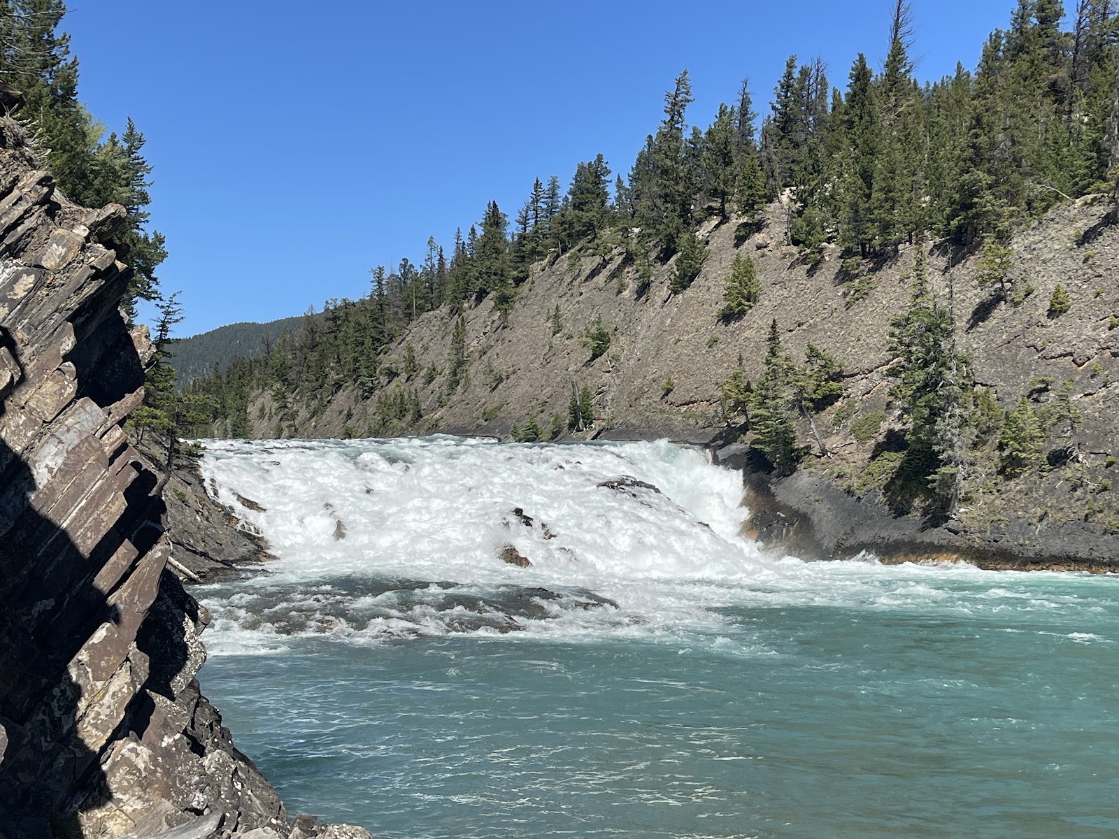
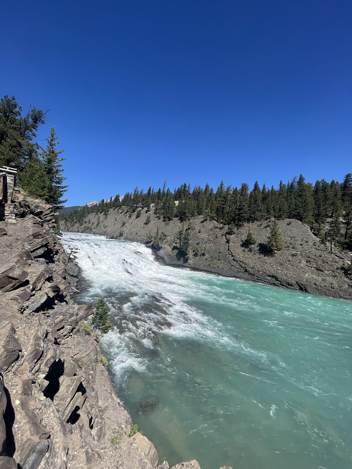
Athabasca Falls, the next stop on this Athabasca day.
One of those tourist attractions that have paved sidewalks and safety railings all around the Falls, and the canyon that it carved, but oh, does it show another force of nature here in the Rockies.
Hiking down to the bottom of the canyon, the water became peaceful and green. This is where our raft trip starts.
It was after 7 PM, and the crowds were relatively small, but so glad we made the stop.
An E-bike food tour took us lakeside to those deeper aqua and blue waters of Beauvert Lake, Annette Lake and Edith Lake that we had seen from the Sky Tram. As we zipped by on bikes, it looks like the road in got closed down for no parking on this beautiful Sunday afternoon.
Lake Edith has kayak, canoe and SUP rentals right on the beach and this is one thing that we hope to do. A sneak preview of Maligne Canyon was incredible. An appetizer at the Maligne Canyon Restaurant, a sandwich at the Fairmount Golf Course, and dessert at Tekarra Lodge all while touring those beautiful area lakes. Vinny says E-Bikes are too heavy, so we rode back from the tour on our old reliables.
Another day, another tour. This is the third one in a row, but we are so happy we jammed them in because the rain is coming.
I even had to pry John out of bed for 10am drive to Maligne Lake, so we could have our first seat in the epic Canadian Rockies red chairs. This happened as we walked the path along the lake waiting for our boat tour to infamous Spirit Island.
Again we were overwhelmed by “the gods” which are the nickname of those mountains surrounding this beautiful backcountry place only reachable by boat or backcountry hike. Maligne Lake is fed by multiple glaciers from the mountains that surround it.
There is a marina where motorized boat tours leave and head out for a 45 minute ride to Spirit Island or you can do a 5 hour paddle to get there if so inclined.
There are backcountry campsites along the way if that is more than one day for you. The tour boats do an exceptional job slowing to prevent wake for the paddlers.
Spirit Island is not really an Island, but a spit of land form the southern end of Maligne Lake that is sacred to the native peoples. Similar to the US policies, the native peoples were put on reservations in the early 1900’s. As the injustice of the system became debated, places were returned to the indigenous people and as of 2017 tourists are not allowed to actually step foot on Spirit Island. There has been a resurgence of the native peoples after a large fire burned around Medicine Lake. The Maligne Lake Tour company (only one which has been in operation since the early 1900’s) will allow you to walk the trails on the mainland and take photos of the island
It certainly is an incredibly beautiful place.
Well, we thought we saw a bear,
But it was only John slipping from a rock into the water as we were told to splash some water on your face and say some special native words and feel the spirit. This ended in hiking boots full of water and a bit of embarrassment for my Paddle Boy. And a memorable story to be told of the spirits on the Island.
Spirit Island was the furthest destination of the day, and the remainder of it we worked back down Maligne Canyon Drive stopping at Medicine Lake after a huge downpour.
We had noticed that there was a huge fire scar area near it on our drive up. Evidently this was one of the sacred signs that culminated a resurgence of the native people to claim back Spirit Island in 2017. Fire Scars are places where new growth occurs which encourages wildlife that feed off berries and new growth to frequent here. We decided to set up at the parking lot as it rained, and be on the lookout for moose or bear which as of yet, have not seen a single one. But no such luck, and after an hour, we decided to head down and do the Maligne Canyon Trailhead. Luckily, we found a primo parking spot and actually took a long nap before grabbing a dessert at the Canyon eatery and hitting the trail.
Maligne Lake feeds into Medicine Lake to the south, and finally these two narrow down into the Maligne River. This narrow river has carved this incredibly deep and winding canyon for about 2 miles before it becomes wider and empties into the Athabasca River in Jasper.
There are so many incredible views with the largest depth of 167 feet.
Like Athabasca Falls, this tourist attraction is well protected not only for it, but for the safety of visitors and is mostly fenced in with many overlooks on the trail.
There are a series of six bridges that take the trail overtop of the canyons where the views have so many varieties of water color and riverbeds.
At the 5th Bridge on the Maligne Canyon Trail, the river widens. There is a big parking lot in this area and in theory if you arrange the rides, you can bike between the Canyon Lodge and this parking area and hike the trail between the two. On our E-Bike Tour we did turbo mode hill, so one would need to coordinate the Lodge to 5th Bridge on the bike and then hike the return, if you are pedal pumpers like we are.
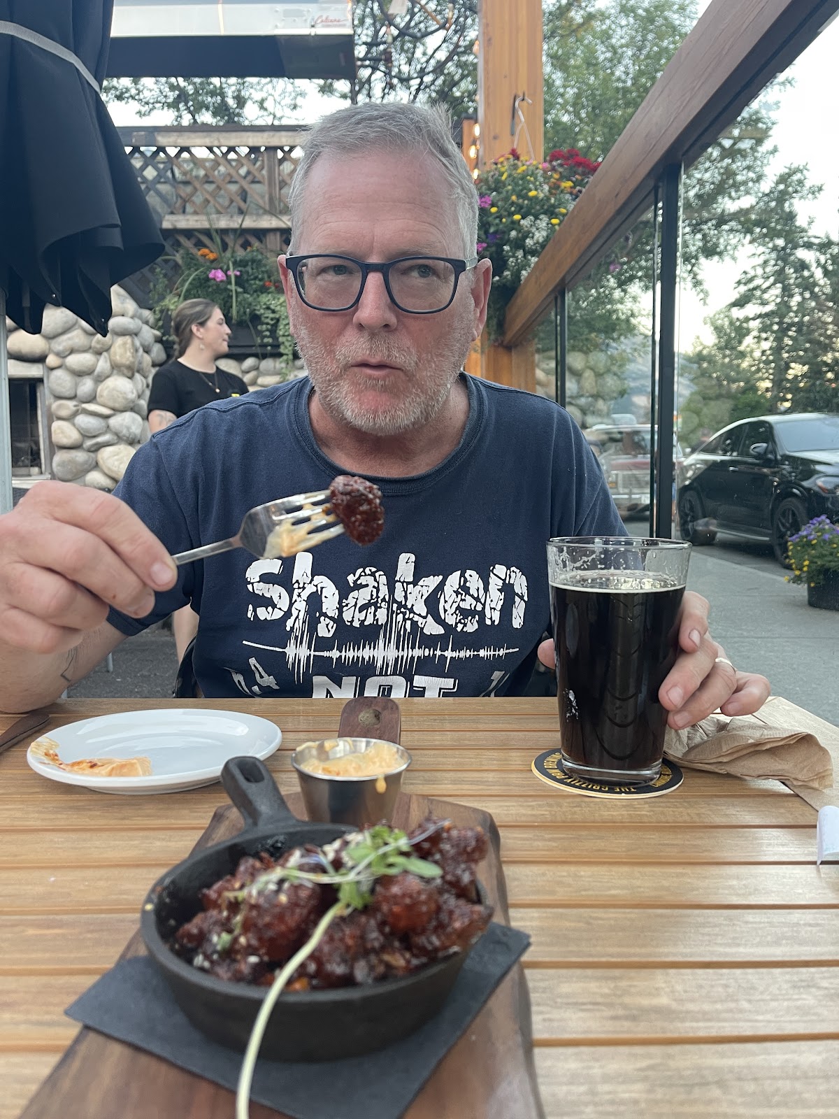
Although we started the hike after 6pm, by 8:30 pm after a ticker work-out back up the Canyon we were at the Birch Eatery having a beer. We finally found a restaurant/brewery that had a good stout on Tap.
It was a rainy morning making it later than usual morning with a 3-week-fridge-defrost the night before, and we needed food and clean clothes. Both needs were steps away from each other in downtown Jasper and there was even a cafe in the laundromat for John to wait for dryer loading while I shopped. We were starving by 6:30pm and couldn’t wait to hit the Birch kitchen for the Good Morning Vietnam Coffee Stout that he had enjoyed the night before. And they had great Wi-fi and if I dump my phone in the Athabasca River during our raft trip, we won’t have to re-work the spreadsheet since all is on the cloud.
The Athabasca Rafting Trip. I only brought the GoPro and am struggling with the download. It was an active trip in some places and the need to paddle did not fend well with good photography. The GoPro is doing its thing and hopefully will have a good video or two. Met a lovely German Family and we taught our red haired, green eyed guide, Kate, a bit of German as we bounced over some rapids. The rain stopped for our trip and the wetness was totallyl caused by the rapids .
This veer off the spreadsheet has set a high expectation for next year. Apostle Islands are a group of 22 islands off the Bayfield Peninsula in northern Wisconsin.
After our Picture Rock kayak experience, and the Jam Pot line lady raving about this, I got on our not so great Fort Wilkins bathroom Wi-fi, I booked the first easy rated tour that fit our tight schedule that I could find. Well, even though the tour was a Bayfield tour company, the tour ended up being to Chequamegon Bay, south of Washburn and we really didn’t see the Islands.
We saw some sea caves, but there were none that we kayaked through, nonetheless an enjoyable outing putting us a bit closer to our gallop to the Canadian Rockies.
What we did find however are two delightful towns. We headed to Bayfield and got set up in Over-flow parking at the Apostle Islands Campground the night before the kayak tour. Besides having a welcoming office area and well taken care of facilities, it is in walking distance to the Adventure Club Brewery(lots of covered outdoor space and the huge wolf sculpture in the field.) Breweries are always a first stop in any new location as John exudes an enthusiasm, and takes over my role as the trip organizer as he is excited to taste new beer. There is a new section to this RV park that has theme cabins around a sandy swimming pond and mini golf course that would be great for grandkids.
After viewing YouTubes of the Apostle Islands, we definitely need to go back. Music is the other attraction of Bayfield and there is a group that puts on summer music under a Big Top Tent. This summer Gaelic Storm and Brandie Carlisle were on the schedule. There is a whole fruit scene with a big apple fest in the fall, blueberries and cherries. Hmm tha campground books a year in advance you can kind of plan on fruit but what about the music? Well there is an Open Mic Night every Wednesday at the Backstage.
Our tour put us through Washburn, and a real grocery store and a delightful little town that had a fest or farmers market going on. The atmosphere was vibrant and would also make this town a stop, with live music advertised on the main street. This was about a 25 minute drive from Bayfield. Both towns have numerous bike trails, some gravel too, as per Howl Adventure Center. I think this would be a good place to call if interested in planning a biking adventure. This area has kayaking, biking, hiking, breweries, sailing tours, and restaurants.
It would be a perfect area to rent in the summer months! But people keep saying how cool, I say freezing, it is in the winter.
It was a bee-line to Orr, Minnesota which was a lovely drive, and we started a new Baldacci Audiobook and the drive sped by. We arrived at Pelican Lake which looked like a once-upon-a-time vibrant resort where Port-a-potty replaced boarded up wooden out-houses in our remote section of the RV resort and the lake is big with islands. The office looked like part of the house, but very friendly, kids coming up to us wanting to tell us a joke, a small store with ice cream, and you signed in a guest book to register, but they did take credit cards. We were set up in a line of empty campsites at the end of the road. Many trailers looked like full-times summer residents as we drove to our end spot where he said we could take any one. We did not dare walk out on the dock that was lakeside to our site, and as we employed the netting, and I did photos while John played his computer game(AT&T excellent 5G), we saw over a hundred mosquitos on the outside of our net since we had lights on! We haven’t seen that kind of action yet. Not necessarily a place we would come back, but convenient for Canadian gallop. Glad we didn’t decide to stay 2 nights and did the “pseudo” Apostle Islands Jam Pot Lady Excursion. It’s Sunday and the Stone Angel Brewery outside of Winnipeg closed at 6pm, Paddle Boy may arise before noon so we can arrive after our 5 hour drive in enough time for some tasting which he always asks for the pint size taster. We needed to venture out and shake out the netting.
The mosquitos didn’t fly away when the lights were turned off, and we decided to drop it on the front mat rather than risk bringing it inside!
As we spend our last day in Michigan it is yet again raining. Paddle Boy almost inflated JoJo last night because there was no rain in the forecast and we are at a campsite with close access to tranquil Lake Fannie Hooe.
But he agreed to limit his morning slumber, to pump up JoJo so I could paddle in the morning. I looked out the window at 6:30am and blue sky and I thought this is gonna be a perfect paddle day. But the next thing is 8:30am I awoke and am scrambling to pull the chairs in because droplets are coming down fast and it is now dark and gray. Patches of rain come and go unpredictably here in Michigan, sometimes morning sometimes evening showers, and forget the forecasts. As of yesterday afternoon when we went to the Wi-Fi building, it was gonna be nice for the next 5 days. This turned out to be a small system and the sun came out by noon and I was on the lake to see Fort Wilkins.
It turned out to be the most perfect paddling day for which I had been so dutifully planning.
The river raft tube, purchased after Lake Higgins, was inflated for the first time and after a solo paddle by both Paddle Boy and me, we took off with the river tube in tow, taking turns to paddle and sprawl in the headrested river tube. Photos will need to wait, but hopefully not too long because it has been over a month with not optimal weather for such an outing.
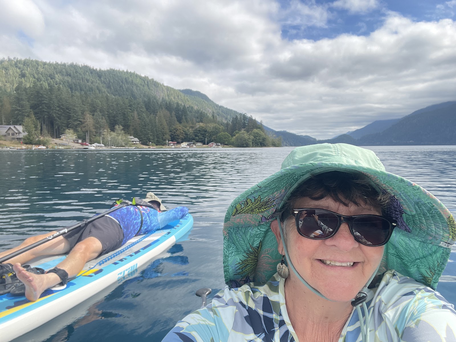
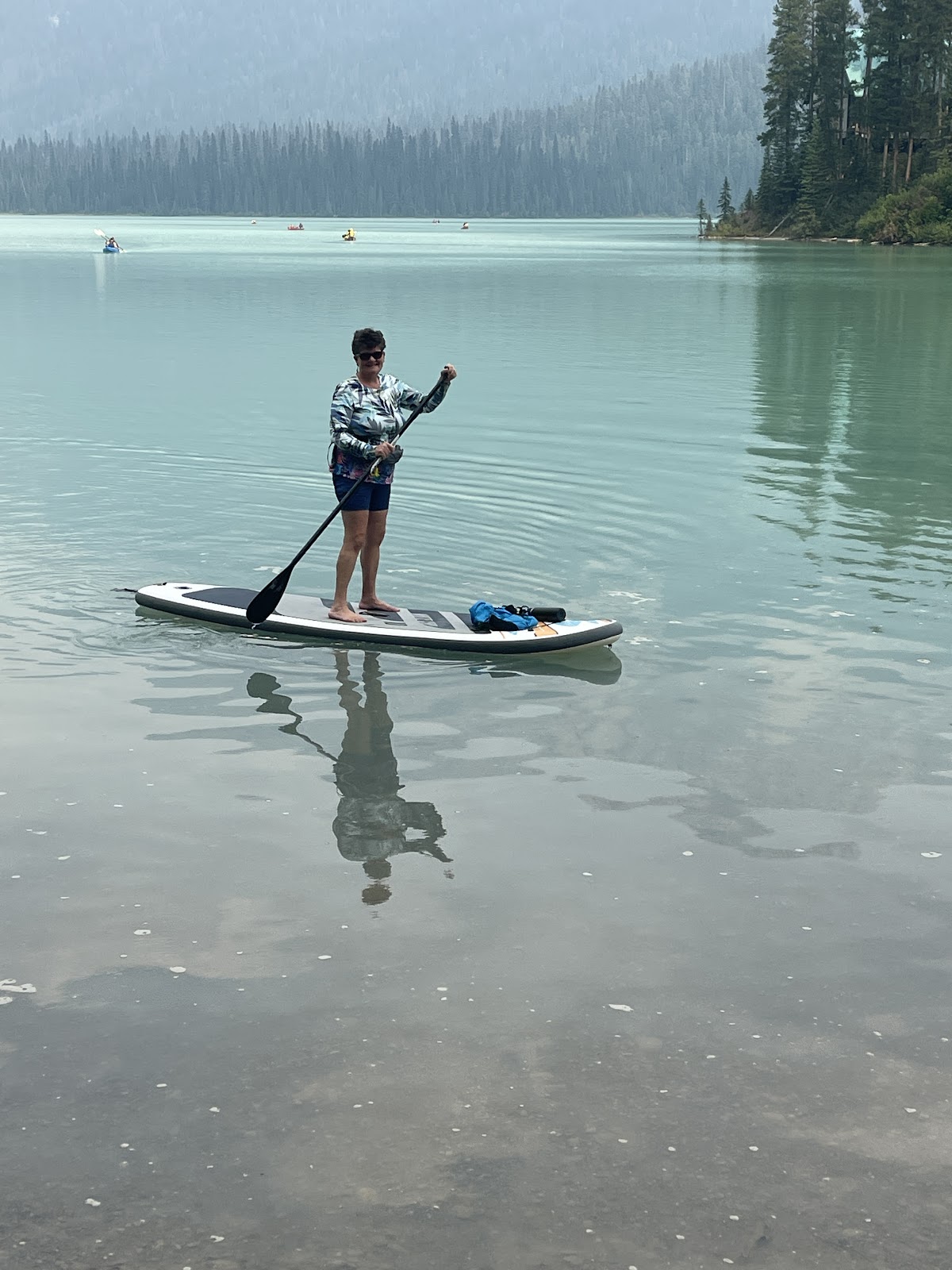
John is realizing the tranquility of paddling, especially in a lake like Fannie Hooe where there are very few motor boats speeding all around, and the water is warm and peaceful for him to gain his SUP legs.
After an early dinner, I went out for another paddle and before you knew it, there was Paddle Boy wanting another turn. But as he returned, the droplets began falling once again.
Heading up to the bathrooms for a bit of Wi-fi weather revealed serious thunderstorms tonight; there is absolutely no cell service here. Yikes, drying off all paddle equipment and stowing into Vinny half damp and sprawled out for some evening dry time. We are headed out tomorrow with many damp dirty foot towels, not to mention damp bathing suits and sunshirts, all items that indicate fun has been had. This is just the reason our bathroom floor has a stack of about 6 bathmats folded in half.
There is not too much in the way of mountains in Michigan, but we found one on our third day at Copper Mountains area.
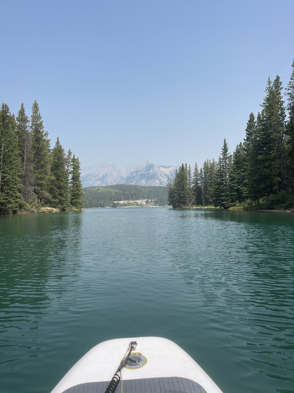
from our RV park (only $30 rental for half day). What a peaceful paddle
to a sandy spot at the other end where we met 8 year-old with downs syndrome, Brady, who was quite inquisitive and wanted to know our names.
His extremely nice nanny made us feel quite welcome on their beach. And it even had a tiny island.
She was the one that said we should go to the Jam Pot for muffins.
The Jam Pot is a business where the Monk entrepreneur commandeers a $25 for a small jar of their famous ThimbleBerry Jelly – we thought we may as well not get hooked on this stuff. We just got two muffins and two $12 jars of interesting jam, evidently their fruit cakes are well known and a regular loaf pan was about $45. Yikes….There was a 30 minute line into the JamPot. As one party left, the next party went inside, and we found out more interesting facts about the area and about the restaurant, Fitzgeralds, that two different people in our travels had raved about. It is located in Eagle River and there is $10 a person reservation fee that is required..hmm never heard of that before. Well, we have found the food and beer in restaurants and breweries to be very reasonably priced compared to California, not so much the grocery stores. They seriously need a Grocery Outlet.
Copper Harbor, Michigan is named for the area’s rich history of copper mining, which dates back to an ancient people as far back as 7,000 years ago. The copper rush hit in the 1840’s when the land was officially ceded to the US Government, and several small towns popped up around the industry. Today, the small town on Lake Superior is a destination for those who love the fresh air and year-round outdoor adventure. Copper Harbor is home to one of the world’s best single-track trail systems. I think that means one-way and riders go fast and don’t need to worry about head on collisions. We saw trails that had One-Way warning signs posted. There are a lot of mountain biking and water sports since it has both Lake Superior and smaller Fannie Hooe as well as other small lakes.
It is a gateway to Isle Royale National Park which is supposed to be an exceptional experience and the 3 ½ hour ferry ride there leaves from Copper Harbor. We met several couples at the local beer joint (a brewery bike ride is always the first stop after relocating to a new campspot). They had just returned from Isle Royale NP, one of whom went on a water plane to get there. We were warned to bring food because the camp store has very little and there are gear limits on ferry vessels, although there are restaurants on the Island. If we plan a trip, it will be to stay at the Rock Lodge. The woman in the Jam Pot line said they had a three-meals-a-day plan here.
Day 3 at Copper Harbor, a planned overcast rainy day, so we decided to do the Brockway Scenic Drive into Eagle Harbor as we had planned to drive to Fort Wilkins State Park that day. We drove along Lake Superior and enjoyed the variety of lakesides.
Between Eagle Harbor and Copper Harbor, there were several very protected coves with scenic shores of rocks and trees,
and those of sand beaches, like Esrey Park, which would be fun for paddling on really hot days, none of which we had during our month-long stay in Michigan. Falling into Fannie Hooe would be much warmer than Superior.
The “planned rainy day” ended up to be quite nice as the afternoon progressed, and we did a bike/hike. We started out mountain biking with our street bikes, but when the banked curves came up, wanting to protect our bones for Canada, we decided to tie up the bikes and hike. There were nice up and down on the trails that would be really fun on a mountain bike.
We stopped and had a beer at the brewery before playing music at our campfire where our next-store camper came over to sing a few with us. The evening was absolutely still and beautiful and one of the reasons I had such high expectations for this morning.
Hiking in a green canopy of trees among the ferns and relatively flat, is one of my favorite things about Michigan, and as much of our country is in high heat warnings, we always need jackets at night and hiking and biking is quite comfortable.
The woman in the Jam Pot line also said we should kayak the Apostle Islands in Wisconsin. After a quick Roadtrippers check, it was nearly on our way to the Pine Acres, our next spreadsheet plan in Orr Minnesota, so off the spreadsheet we go and will only spend one day in Minnesota, but will get a day in Wisconsin kayaking at what look to be a beautiful place.
I sit here at the Wi-Fi bathroom, brought my towel for the damp seat at the picnic bench, but the severe thunderstorms that were to happen last night never did, and blue sky is upon us, but I am constantly looking up for the droplet signs. The sun is out and a late start as we needed to to some drying!
Pictured Rocks gets its name from the streaks of mineral stain that color the cliffs. Groundwater seeps out of the cracks and runs down the rock face giving it that gorgeous colorful pattern. Iron (red and orange), copper (blue and green), manganese (brown and black), and limonite (white) are among the most common color-producing minerals.
Pictured Rocks is among the most beautiful places in the world, and there is no better way to see it than via Kayak when you don’t need to assess the weather and think about anything, but the sandstone and mineral streaked cliffs as the luscious green water slaps gently against your vessel.
My Paddle Boy provided the majority of the thrusting, while I simply took photos. It was absolutely a tour of a lifetime with Pictured Rocks Kayaking tours, as we were pontoon-boated out to the site where kayaks were launched and the tour began.
It was 5 miles of kayaking as our singing captain chose a downwind paddle and it was also extremely easy for me to snap photos, although John said it was quite a core workout. We had perfect weather and the temperature (as John says I only have a 0.5 degree tolerance from being too hot to too cold) was perfect, as we had some clouds but no downpours.
Evidently the guide for each group could radio to the captain, and he would pontoon over and pick you up for whatever reason, and then you could return to the group when your issue had been mitigated. Then at the end he met us, and there was no backtracking, just a leisurely, awe inspiring experience. Never needed to use the pontoon boat safety or paddle fiercely into the wind.
Pictured Rocks from the Land
Chapel Beach / Mosquito Trail allowed us to see the same pictured rocks, but this time from cliff edge and not kayak edge, was our next adventure.
And yes, there were many treacherous edges on this 10 mile hike. We were now on top of 100+ foot cliffs this time. There was only one place on the trail that the edge was just a bit too treacherous and they had a small spur detour.
But the views were incredible and we were thankful to have done our water view of the Pictured Rocks on the prior day when it was partly sunny.
We had planned to rest and to have lunch halfway at a lovely scenic spot. I even brought my hiker’s chair, but it started raining 20 minutes in and never really stopped. So we just carried on, without stopping too.
My .5 degree temperature discomfort alarm never got activated as it was relatively warm, but wet it was.
Many places on the trail were mud piles that would last from a few feet to 20 yards. Most had pretty well established detours around if they were large, so we didn’t need to test our Hoka hiking boots waterproof ability, but there were some mud splash sink downs as you tried to step across on a log, but no slip and falls that could have made the trip very unpleasant.
As we were expecting the loop to veer off of Lake Superior, we must have not gotten the White Birch Log memo nicely placed across the trail indicating that there was a better detour, I suppose. So we wandered through the woods for about 20 minutes backtracking and finally saw a constructed bridge going over a stream and we bushwhacked to it, never really understanding how the original trail would have taken us there. It was the first time I thought, good thing I packed the headlamp.
We had not started until about 3pm, but still had over an hour of daylight after our 5 hour excursion. The Michigan long days fit well with our leisurely morning schedule, and we usually roll into our campsite around 10pm to eat dinner. There has been little time for campfires and music.
Next time.. Chapel Beach looked so inviting for swimming, and would be perfect after a warm sunny hike. The loop we took had Chapel Beach as a 3 mile hike or a 7 mile hike from the parking area. Only the 7 mile hike had views of the multiple Pictured Rocks, although Chapel Beach has a single very nice view too and the water looked so clear and calm.
Log Roll Point Hike
That’s where they used to roll the timber down steep sand bluffs to waiting vessels. We never saw any evidence of logs rolling just people rolling down.
Log rolls and me bring back bad memories when I thought I should be able to run across them like the other young people. These particular 18 inch diameter logs were chained together and provided the borders for the swimming area at Baker Lake Washington. Instead of splashing playfully into the lake, I decided to come in contact with one before sliding gleefully down into the water. And as I write I am just getting over a little slide on my bike where my handlebar came in contact with my rib, not as bad, but laying down position was uncomfortable for 5 days.
Ok back to Log Roll, now it is a place where people can roll down this great hill of sand into Lake Superior. There are all kind of warnings that it is exhausting to climb back up and rescues are expensive, and since we just hiked 3 ½ miles to get here, and needed to do the same to get back, and there are no showers at our campsite, in fact there is only a small water fountain at the day Use Parking area, we decided the only way John will be seen log rolling is if I do some photoshopping. When we got there we discovered a parking area right nearby so if you wanted to do the rolling, better idea to park and roll.
This was one of those beautiful Michigan hikes through the rich green fern covered forest, only this time Lake Superior accompanied us along the way as we saw the beautiful White Birch Trees, of course nostalgic memories of the famous Saint Ann Birch tree paintings all our kids created. We had a bit of an incline as we started at lake elevation and had to climb up high enough where the logs would have enough Oompa to roll down and not get into a log jam at the water’s edge. Right from Hurricane Lower Campground, we did the first 1 ½ miles (gravel path) to the lighthouse and then onward. Log roll was in a cove where there were no crashing waves like we heard as we walked to the lighthouse.
I had just listened to an I-phone photography lesson about taking photos at sunset with glistening water and came up with a bunch of my all-time favorites of those beautiful White birches.
At this time, I really don’t know if this whole logging thing is just our creative juices flowing or reality.
Pictured Rock is a for sure a return-to spot in Michigan, but next time would consider the following :
Hurricane Campground and Twelve Mile Beach are beautiful campgrounds, but they are about 50 minute drive to Munising which is the lovely town where all kayak tours, ferry to Grand Island, and many hikes are located, as well as nice restaurants and By George Brewery (10pm Peanut Butter Stout/Pizza – maybe that’s why we had trouble sleeping). Although, the Log Roll Hike we took from Hurricane Campground was perfect, we would not recommend staying there for too long; rather mosey down the M-58 and stay in Munising for a bit. We enjoy having some delicious white fish at the abundance of fish and chip trucks and being able to re-stock some food. We have scored an RV spot in Munising for our last night and will leave our Hurricane remote camping where the Camp Host Spot has been vacant since we have arrived. We will get on the laundry facilities as we have many damp items and it’s supposed to rain more today.
Mackinac Island is a picturesque Victorian community dedicated to the tourists who are on a severe car-diet because none are allowed on the island.
Biking or walking is the major get around mode and paved trails run throughout allowing one to go to all kinds of historic military buildings,
gorgeous Victorian homes and hotels, and butterfly sanctuaries to name a few where we stopped.
But watchout for the horse droppings as there are many tourist wagons and taxis as well as work wagons running around the streets.
As you get off the 18 minute ferry ride, the crowd pours out onto the main downtown where bikes are everywhere and the horse drawn carriages wait to carry you off somewhere else in-time except that there are E-Bikes whizzing by. The town is bustling with tourists and eateries and bikes line the streets, it is busy, busy but we enjoyed lunch at the Pink Pony at the Chippewa Hotel with Ann and Ed. Fudge,Fudge,Fudge – it’s everywhere and I have never seen so many fudge shops in any one location in my life, as the typical tourist shops and restaurants line the streets.
There is an eight mile bike loop around the island that is an easy ride and affords many views of Lake Huron and of course the Mighty Mac, the 5 mile long suspension Bridge that connects the Michigan Mitten to the Upper Peninsula and as of 1957 defines the division between Lake Huron and Lake Michigan.
Lake views and forest canopies, gorgeous Victoria lake front estates where people come out in their horse drawn carriages and workers whizz by with half a dozen paint cans hanging from the handle bars.
The Grand Hotels abound and a quick look seems like $400+ a night and could no VRBOs. The most beautiful ornate homes sit on the wooded bluffs that view the lake, but we didn’t see a single swimmer, although it was somewhat of an overcast day.
I could probably count the docking and boating areas on one hand that were not in the protected waters of the main jetty and town docking areas.
Biking around the Island was so easy and relaxing that I would highly recommend this route and there are all types of bicycles for rent and even adult tricycles for those who are skittish on two wheels.
St. Anne church with grandma, Anne, Mary and Jesus, where Annie relieved suddenly her name and connection to,this painting.
Arch Rock is one of nature’s best on the island as you stop at the pull-offs along the trail and see all the different tree specimens that are plaquered. We had already walked up to the Fort and along a beautiful nature path to Arch Rock with Ed and Ann the day prior.
And then there is Wings of Mackinac, the butterfly and insect preserve. We lucked out and observed one of the twice daily butterfly releases into the warm humid climate of the protected preserve space.
John found a compadre with one that sat on his hand the entire 30 minutes we were there; he appeared to be licking the sweat of his hand with a long antenna. He finally had to brush it off while I went observing the butterfly bullies , and had to protect a just released beautiful purple one that sat on the pavement camouflaged until she opened her wings. I situated her between my feet so no one would step on her, and then she climbed onto my shoe.
I hope she survived and had to get the attendant to move her. She was so beautiful.
Our first time in a butterfly preserve, I forgot to ask if they relocate the larvae or what happens in the winter when they are closed. No pictures of the tarantulas, and bugs from the the next room, but it was delightfully cool after the hot butterfly habitat.
We played what I call Scottish rough putt-putt golf where the views are incredible, but the greens and fairways have some severe rough areas and there is no difference in turf, just like putt-putt, but what do you want for $15 for 18 holes overlooking the Lake Huron.
We rode the 8 miles once and decided to do it again after we went to butterflies, golfed and ate at the yellow umbrella Mission Bistro overlooking the Putt-Putt.
Here the horse drawn drawn taxi and luggage carriages among the gardens and the white adirondack chairs along the green overlooking the Lake just seemed to put one back into another era.
It was a 20 mile day of easy riding by time we added in the bike ride from KOA campground to the Shepler Ferry – both times we got on with our bikes in the last minutes before it pulled away.
The auto absence and Victorian architecture make it a delightful day getaway.
Mackinaw City, is the gateway city on the mitten to this step back in time of Mackinac Island. We camped at the Mackinaw Mill Creek Campground where Ed and Annie had rented a cabin too.
Cousin, Billy Stenger, rode in his motorcycle and we and a delightful time exploring and relaxing by campfires.
The water was beautiful and did the toes in but the Irish bright white of the Parkinson side of the family did not encourage getting out into the sun, and it was not optimal for paddling.
Annie was quite happy with her mosquito lamps and bug shirt life was good at Mill Creek
Michigan never seems to disappoint when it comes to bike trails and both Mill Creek and the KOA had trails right from their grounds. Of course Mill Creek had the best Camp Store ever, even featuring our favorite Ole Smoky Salted Caramel Whiskey and the lake was right there so why leave.
Well except to go to Rusted Spoke Brewing where we also learned much about Romania as our server,Jessica. She presented Billy with a Romanian candy bar after she told us they did not serve dessert. We just connected with her and had a particularly lovely evening drinking beer and enjoying the interactions with her.
Transfer to Mackinaw KOA afforded us an on-site laundry mat and the washers were loaded before we even got pulled into our campsite. And oh the superb Wi-Fi here, although as I type, the weekend traffic or rain has slowed it considerably, but it is still existent, not like at Mill Creek. All photos have been loaded safely to the cloud ! Why do I love Dropbox ? Because you can see the files that are waiting to upload and the progress they make, all be it ever so slow when there is poor connection, unlike the Cloud where you just hang out for days.
The KOA dirt bike trail through the woods leading to the paved trail that leads directly downtown and also ferryside is less than 2 miles, and the long Michigan days make a noon start no problem for a full day of outdoor activities.
After clean clothes, we rode downtown and to the Might Mac bridgeside park for a look from along the shoreline,
Both over and under
The extravagant and cute houses alone Mackinac City shoreline built up our appetites.
You should have seen the shoreline view of this one. We thought it was a hotel and not a private residence.
The Keyhole Restaurant covered with keys veneered on the bar, on the tables and floors, locks and keys hanginging everywhere was a busy and another place for the delicious Michigan White Fish that is common here as this time I had it on a Rueben sandwich.
And luckily there are no sharks on the Great Lakes
Cherry Festing is an annual event – big here in Traverse City and we were lucky to have the TART Bike Trail Entrance right from our campground for access to the city in 25 minutes. Evidently Traverse City has a top bike trail system in the state, and we found that to be the case, riding at all times of day and night into the city.
A $5 Cherry pin got you in and out of the festival and this is like other festivals except they are big on the Cherry Pit Spitting contest and Cherry Pie eating contest, none of which we observed or partook. Similar to not being into amusement parks, we are also not into the fair fare and being in an enclosed area, but we found a nice seat in the shade and talked with a delightful couple, Sharon and David. They do a farm experience at AirBnB called BuckWild Farm just north of Traverse City.
Our days were spent bike riding and chasing breweries. And yes we found some favorites during these very humid hot days. The FIlling Station, old railroad station right off the Bike Path where Piper’s Porter was John’s favorite and the create your own pizza firesauce, brie, spinach and chicken was superb.
After making our way downtown into the crowds we found the Taproot Restaurant which had an excellent Monk Fish entree, and John had Brussels and delicious pulled chicken sandwich.
The earthenware mug regulars above was really interesting looking. One of the best meals in Michigan so far and the selection of Ciders was amazing.
Boardman Lake Loop starts right at the Filling Station and about a mile into it, comes Right Brain Brewery where Pin ball machines abound and from a photo Mackie even recognized the World Cup Soccer machine as one they had before the house fire.
And we even met four British Colonials who were critquing the Right Brain beers. We will need to save the Boardman Bike Loop for next time because it was just too stinking hot and, we snuck into Kilkenny’s Irish Pub which was basement level and very cool and perfect to weather the downpour which was happening and riding through neighborhood after the rain.
An afternoon nap with the AC was in order, so back to Vinny we rode. 4th of July ended up being a 20 mile day and our undercarriages were complaining by evening. Lovely fireworks from the beach and a night ride home with many people on the trail tonight.
A sailing schooner adventure was the finale of our Traverse City experience, and John even got to help hoist the mainsail. The wind was brisk to start, but then died down as we got out into the bay, and needed to enjoy the libations and conversing with the crew for the most part on the way home.
I was told to try and book the Scout Yacht for a smaller, more hands on cruise, maybe next time. Wanted to stop back at Silver Spruce Brewery and here we met another couple, Jill and Bill from Denver who also had 3 girls and were attending a family reunion in Traverse city.
We stayed there for quite a while reminiscing, and on the way back I took a small spill on my bike. And won’t you know it, I have bruised a rib again, not nearly as bad as the jumping from log to log incident at Baker Lake, but about the same as Duke pulling me down to chase a cat a few months ago. I got new bike tires as mine were getting bald and I don’t want any more slippage. It’s already feeling better.
Well it was about time that we made our way back I to town and finally got some cherry pie, and dark chocolate covered cherries, and some cherry barbecue sauce.
The highlight is the Sleeping Bear Dunes Heritage Bike trail that runs for 20 miles from Empire to Northward to the Sleeping Bear Dunes Lakeshore.
Right from the campground, you can hop on your bike and ride two miles to have a smaller dune climb experience by doing the Sleeping Bear Point Trail that takes you to Lake Michigan without having to do the killer 6.8 mile loop Dunes Climb Trail.
Instead we had a lovely walk along the lake after getting to the Point,
but I was still inspired to quick dip in the beautiful clear, but very cold Lake Michigan.
Had to stop by the Maritime Museum so John could take the Edmund Fitzgerald for a spin.
About two miles in the other direction from the campground is the lovely tourist catering town of Glen Arbor where we had 4 hours of outdoor music on a Thursday. Jimmy Olson was at the M22 wine bar where he was rocking two keyboards and singing originals and covers. We got the skinny about where to see music in Key West as the Michigan native heads there in the winter..
The Boondocks down the street was next stop where John was invited to play bass for Horse with No Name with Manitou Blue. 2 of the 3 played there regularly with the visiting percussionist who winters in Tampa and had a 60+ something desirable setup, that means not blaring loud even though we sat right in front of him. In addition to shakers, he had a set of congas and bongos, a cajon, and a bass foot pedal drum that was not like one in those cars that drive by and you think they must all be deaf inside. We were glad to be healthy and not Knockin on Heavens Door. It was an intimate and beautiful night on the deck. And, oh those long Michigan Summers, where you still had daylight to ride home for another hour after they stopped at 9pm. We were trying to get primed for the upcoming Traverse City Cherry Fest and had Cherry Cider, Beer and Cocktail. Although I read Cherry juice has naturally occurring Melatonin, we both had a hard time getting to sleep. The laptop as only a wee bit of battery left after my blogging and John’s late night computer gaming. We didn’t even need to set up the 25ft booster here either. Also nice, is from the campground, it is only a ¼ mile trek to Lake Michigan, and they even provide a boardwalk for most of it so setting up there for the day without a total body workout is quite doable.
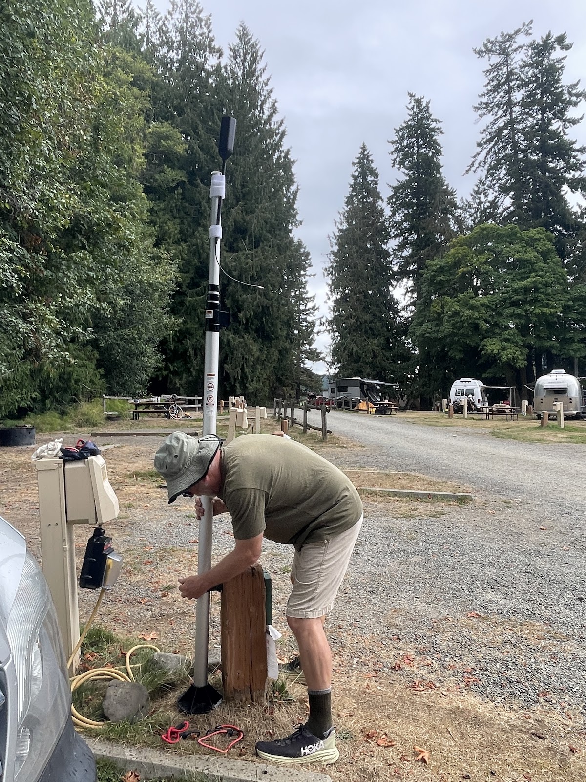
Platte River Sleeping Bear Dunes National Park, MI. The Platte River campsites are big, wooded and private; the new 25 ft extension pole cell signal booster mounted on Vinny proved itself without a doubt making website access possible.
The best thing is the hiking trails that start right at the campground from several Loops and that go through the beautiful fern covered forest. After battening down in Vinny for 24 hours when a rainstorm came through, the 30-minute stretch legs through the campground walk turned into our longest hike ever at 9 miles. The damp cool weather and super easy grade through the soft dirt path kept us wanting more and All Trails kept us knowing the way home. We started a Lasso Loop trail, at the campground Loop 3, turned right and then seeing another trail immediately heading into the woods. After hiking a bit on that we saw signs for Deer Lake and Bass Lake Loop Trail, and after hiking a bit to Deer Lake, turned around and took the Bass Loop back.
We were on the lookout for bears.
No they were just the cutest shy black Michigan squirrels.
It was definitely a Salted Caramel Whiskey and Advil night after the over indulgent hike.
The other popular thing to do here is a Platte River Paddle trip. There are vessel rental companies right outside NP and they have ice cream.
We rode our bikes there on the first day after riding the Lake Michigan Road (nice paved wide shoulder, but fast whizzing cars) to where else, but Lake Michigan where we spied our first glimpse of this magnificent Lake.
Here we saw the piles of canoes and tubes for pickup by these companies because the Platte River ends right at Lake Michigan is usually a leisurely experience for tubing or paddling. As we are snowbirds now and big warm weather babies, we have decided not to paddle this trip since this is best on a splash pleasant weather not the 66 degree overcast weather that is forecasted for the better weather day.
We had also hiked to lake Michigan from the campground and got a taste of what the Sleeping Bear Point dunes hike would be like.
As we approached the Lake the quad work-out commenced as the terrain turned to deep sand.
Severe Thunderstorms were in the forecast so we decided this short hike would be perfect.
After our overzealous 9 mile hike through the fern forest, we decided biking was in order for the day and found the Peterson Road dirt road to be perfect. What a difference a storm makes on Lake Michigan.
Two days prior the lake from nearly the same place was tranquil.
This was the constant muffled rushing sound that we had wondered about on our unexpectedly long 30 minute turned 3 hours hike without Greenie, my iconic water bottle, that I generally bring everywhere after living in the desert. But the damp cool on that day didn’t even get us thirsty.
The Platte River experience was beautiful despite the less than desirable weather. We have seen only a pair of people on all the hikes and bikes in the campground much different than the hopping Higgins experience. Finally, the sun is coming out and today is transfer day heading to the duney part of the Sleeping Bear National Park for 2 nights.
Mitten Central, The UP MI (Upper Peninsula Michigan) that’s where South Higgins Lake state beach with a mile of shoreline is located and has incredibly aqua, clear warm water.
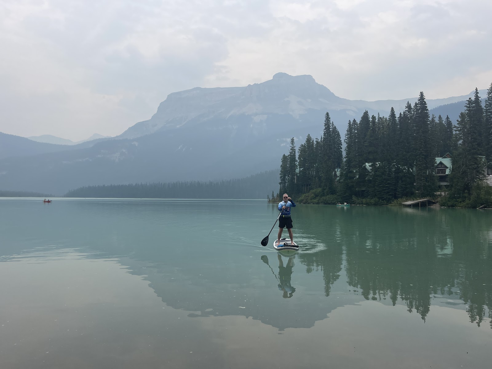
Perfect for John to have his second standup, paddleboard board experience.
He only dumped into the luscious warm water once when his body carried the momentum in the constant path forward, but the board decided to bounce in a wave instead.
He claims his big long toes make getting into a standing position evermore difficult than a typical size 10 for someone of his stature, but I think the surface area should make them ever so so better for gripping.
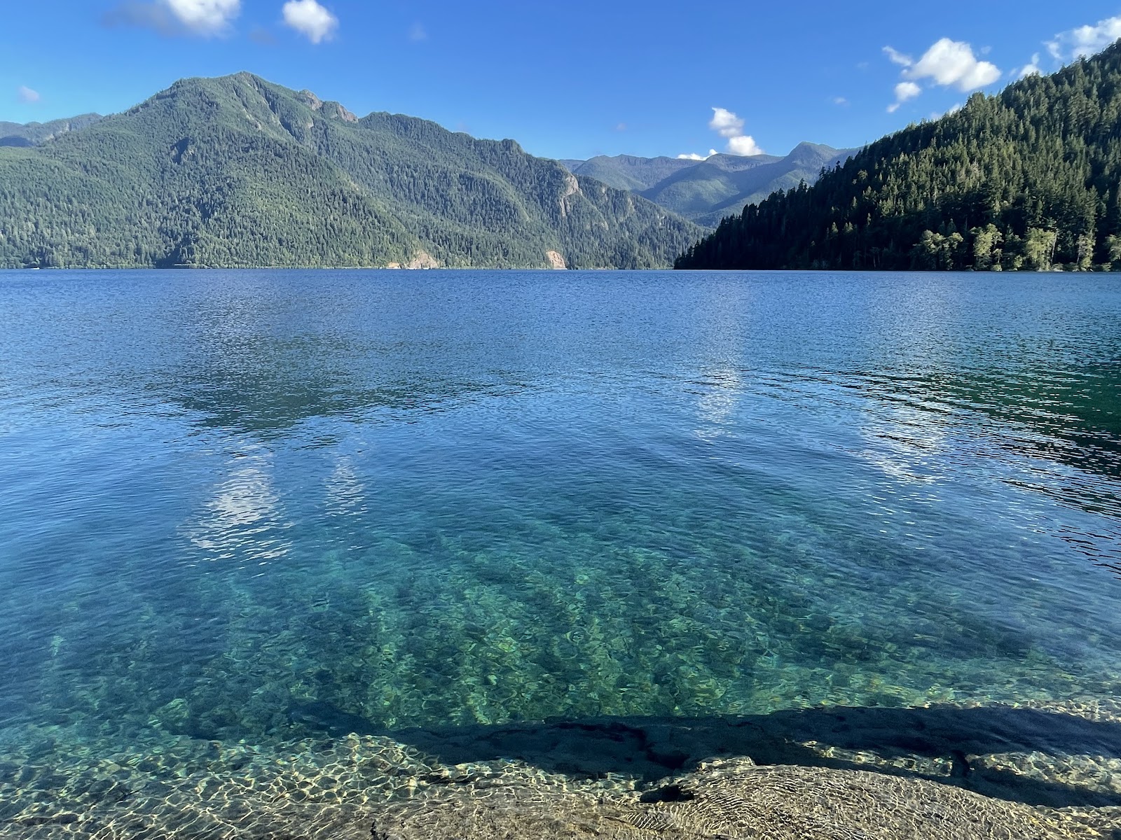
Waist deep for about 80 yards off-shore, the sandy lake bottom is extraordinary for the newbie doing water sports who is expecting some spills. People walk out to their boats that are anchored off the beach, floating out their coolers and holding gear bags high. They can zoom, fish, or paddle along the 4 by 7 mile lake;
I didn’t see a single sailboat,Caroline, better get your Laser out here, but I did see a Sea Monster. The campground was a hopping place on the summer solstice weekend and the campsites are not very private, but oh the beautiful water and we were about 150 yards from the lakefront, a short carry for Paddle Boy. Certainly not a serene View of the Lake from the shore, but it was not so crowded that you were constantly maneuvering around water vessels once you were about 75 yards off shore, and you could still see the sandy bottom
A one mile bike trail runs along the lakefront from the store (which delivers firewood) at one end all the way to the furthest campsites. Another mile down the road and you can be at the Cut River Grill on the deck listening to a fabulous singer with 3 guitars (need to step up your game Bo).
Back at camp, Bud came running over with his white guitar to play tunes with us and he got really jiggy singing some of the songs to provide for an enjoyable evening at the campfire. Florida neighbors said we should check out Largo Florida